HP | MJF for Unmanned Systems
WOLF Advanced Technology
Leading Suppliers in China

3D LiDAR Scanners Suppliers in China

Discover China-based suppliers of 3D LiDAR Scanners

Suppliers of 3D LiDAR Scanners

2 Leading Suppliers
Grid List
Filtered by:
SKYLANDX
SKYLANDX
China

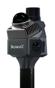
High-Precision LiDAR & SLAM Mapping Solutions for Drones & Autonomous Systems

CHC Navigation
CHC Navigation
China (9 locations)

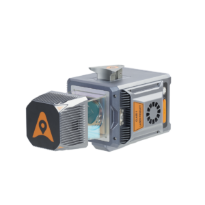
GNSS Positioning & Navigation Systems, Mobile Mapping UAV LiDAR & Unmanned Surface Vehicles

Browse suppliers by country
Showcase your capabilities

If you design, build or supply 3D LiDAR Scanners, create a profile to showcase your capabilities and connect with visitors who have an active requirement for your solutions.


Create Supplier Profile

3D LiDAR Scanners for Drones & Robotics

6 Cutting-edge Solutions
Add your solutions
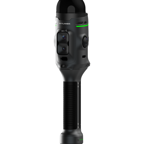
MetaCam Air 3
MetaCam Air 3

Next-generation handheld reality-capture system built around a self-developed, survey-grade LiDAR

Next-generation handheld reality-capture system built around a self-developed, survey-grade LiDAR
...360° × 240° LiDAR engineered specifically for survey-grade data acquisition, rather than adapted...
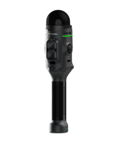
MetaCam Lite
MetaCam Lite

Lightweight handheld LiDAR scanner for short- and medium-range measurement

Lightweight handheld LiDAR scanner for short- and medium-range measurement
...non-repetitive LiDAR uses a smaller laser spot and optimized calibration to reduce point distortion...
MetaCam Pro
MetaCam Pro

Survey-grade scanning for large and complex environments

Survey-grade scanning for large and complex environments
...s non-rotating LiDAR engine records 2.62 million points/sec as standard and up to 5.24 million...
MetaCam Air 2
MetaCam Air 2

Compact multisensor scanner with AI-powered SLAM capabilities

Compact multisensor scanner with AI-powered SLAM capabilities
... is a portable 3D laser scanner that combines LiDAR, panoramic imaging, RTK positioning and onboard...
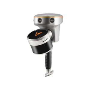
RS10
RS10

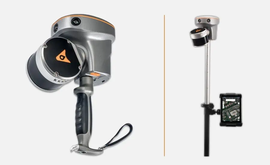
Handheld Slam 3D Laser Scanner + GNSS RTK System

Handheld Slam 3D Laser Scanner + GNSS RTK System
The RS10 is a revolutionary solution for geospatial surveying, which integrates GNSS RTK, laser scan...
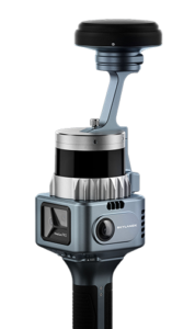
AlphaUni 20
AlphaUni 20

Multi-platform LiDAR solution for mapping & geospatial applications

Multi-platform LiDAR solution for mapping & geospatial applications
...is an advanced LiDAR solution designed to suit both aerial and ground mobile mapping applications....

Related Articles

RIEGL Introduces miniVUX-4UAV LiDAR Sensor for UAV Applications

RIEGL introduces the miniVUX-4UAV LiDAR sensor, offering selectable pulse repetition rates up to 400 kHz, increased spatial resolution and multi-target capabilities for UAV-based scanning applications

Sep 21, 2026
Enhancing Topographic Surveys with the Apus UAV LiDAR & Lixel X1 SLAM Scanner

SatLab Geosolutions presents a powerful surveying approach combining the Apus UAV LiDAR with the Lixel X1 SLAM scanner to meet the demands of high-resolution, comprehensive topographic mapping

Nov 13, 2024
Compact Long-Range LiDAR Scanner for UAVs

CHC Navigation's AlphaAir 15 combines long-range scanning, high accuracy, and a rapid data acquisition rate

Sep 19, 2024
CHCNAV Releases the RS10 SLAM Laser Scanner

CHC Navigation unveils the RS10, an innovative handheld SLAM laser scanner with an integrated RTK GNSS receiver

Apr 05, 2024
Next-Gen RESEPI Scanner Powered by 3D LiDAR SLAM Engine for Digitization

The next-gen of Inertial Labs' RESEPI, with Kudan's SLAM technology, is set to disrupt industries such as urban planning and infrastructure monitoring, by enabling more accessible collection, processing, and visualization of any target environment

Jan 26, 2024

THE WEEKLY eBRIEF

The latest unmanned systems news, straight to your inbox.

Get our weekly roundup of technology developments, new products and industry news.

By subscribing, you agree to receive the weekly UST eBrief newsletter from EchoBlue Ltd. Unsubscribe at any time using the link in every email. See our Privacy Notice.

Advancing Unmanned Systems Through Strategic Collaboration UST works with major OEMs to foster collaboration and increase engagement with SMEs, to accelerate innovation and drive unmanned systems capabilities forward.