WOLF Advanced Technology
HP | MJF for Unmanned Systems
Leading Suppliers in Netherlands

RTK Drones Suppliers in Netherlands

Discover Netherlands-based suppliers of RTK Drones

RTK Drone Manufacturers

1 Leading Supplier
Grid List
Filtered by:
DeltaQuad
DeltaQuad
Netherlands

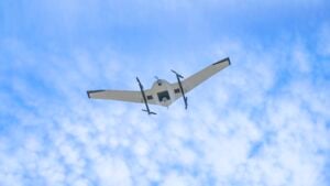
Long-Range Electric VTOL UAVs for Mapping, Inspection & Surveillance

Browse suppliers by country
Showcase your capabilities

If you design, build or supply RTK Drones, create a profile to showcase your capabilities and connect with visitors who have an active requirement for your solutions.


Create Supplier Profile

RTK Drones

1 Cutting-edge Solution
Add your solutions
Evo Enterprise
Evo Enterprise

Electric fixed-wing VTOL UAV for mapping, surveying & inspection

Electric fixed-wing VTOL UAV for mapping, surveying & inspection
...rent projects. RTK and PPK support georeferenced mapping and measurement workflows, with collected...

Related Articles

Drone & RTK Surveying for Reliable Earthwork Data

ArduSimple simplifies accurate earthwork volume verification using drones, RTK surveying, and 3D modeling, enabling project owners to confirm soil and gravel movement and ensure transparency

Feb 03, 2026
How NTRIP-Based RTK Systems Enable Centimeter-Level Drone Positioning

RTKdata outlines how NTRIP-based RTK systems, including its internet-delivered GNSS correction services, enable RTK-capable drones to achieve centimeter-level positioning accuracy without the need for local base stations

Feb 02, 2026
Centimeter-Level Accuracy for Drones and Autonomous Systems

RTKdata’s real-time GNSS correction service enhances mapping, inspections, and autonomous operations

Sep 15, 2025
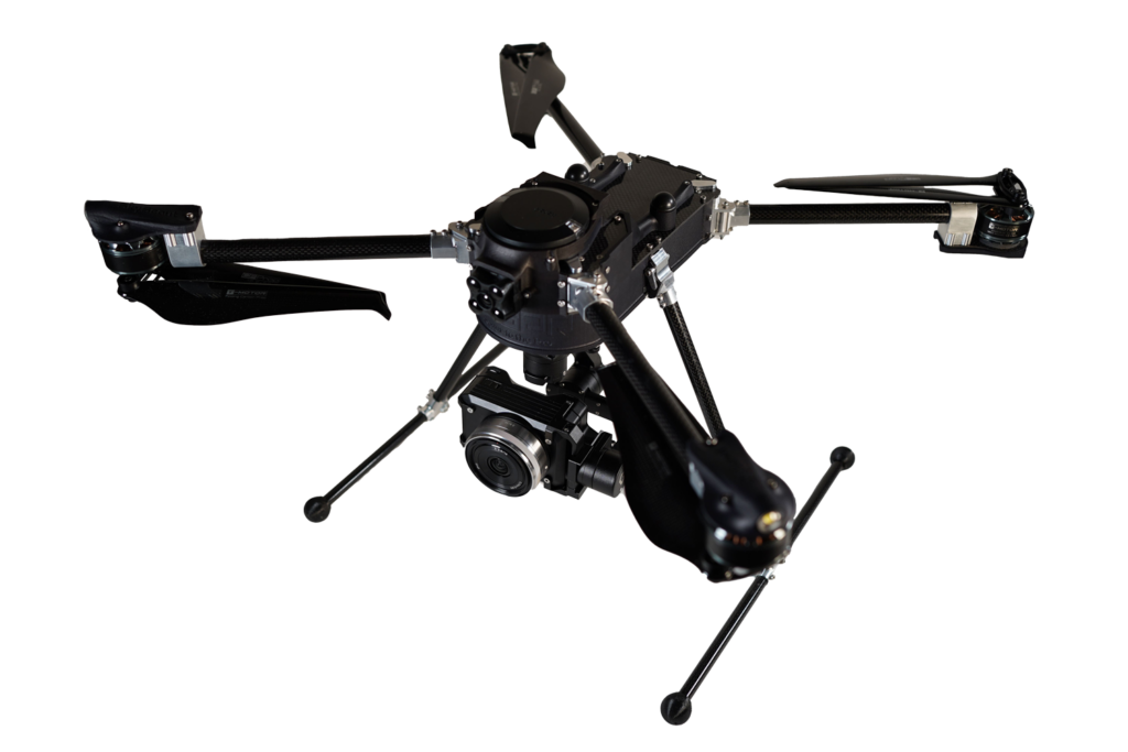
Compact Foldable Multirotor Drone for Commercial & Industrial Data-Gathering

WISPR Systems' SkyScout can be equipped with a wide range of cameras and payloads and includes best-in-class RTK positioning capabilities

Nov 07, 2023
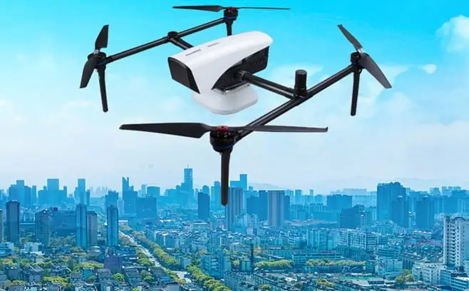
New RTK-Capable Drone Mapping Solution Released

The multi-constellation solution can carry up to 3kg and fly for up to 50 minutes

Apr 08, 2022
NovAtel’s RTK Positioning Solution Selected for Agricultural Spraying Drones

NovAtel, a developer of high-precision GPS and GNSS positioning technologies for UAVs (unmanned aerial vehicles) and unmanned systems, has released...

Aug 27, 2019
New PPK Software Released for DJI Phantom 4 RTK Drones

Klau Geomatics, a developer of PPK hardware and post-processing software, has announced the release of its new PPK software for...

Nov 29, 2018

THE WEEKLY eBRIEF

The latest unmanned systems news, straight to your inbox.

Get our weekly roundup of technology developments, new products and industry news.

By subscribing, you agree to receive the weekly UST eBrief newsletter from EchoBlue Ltd. Unsubscribe at any time using the link in every email. See our Privacy Notice.

Advancing Unmanned Systems Through Strategic Collaboration UST works with major OEMs to foster collaboration and increase engagement with SMEs, to accelerate innovation and drive unmanned systems capabilities forward.