


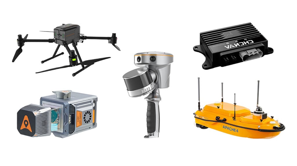
RTK Drones
Discover cutting-edge solutions from leading global suppliersArduSimple offers tools that make it easier than ever to measure and verify earthwork volumes on construction sites. In construction and earthworks projects, one of the most common questions is: how much soil or gravel has actually been moved?

Using modern surveying techniques, you can calculate the actual volume of soil or gravel with precision. The process involves capturing aerial images with a non-RTK drone, then using an RTK kit to measure precise Ground Control Points (GCPs) for accurate georeferencing. Free software such as RealityScan allows you to create a 3D model of the site, while CloudCompare can compute the volume difference between surveys taken before and after earthworks.
This method provides an independent check of contractor estimates, enhances transparency, and supports data-driven decisions. Even if you’re new to photogrammetry or RTK surveying, the steps are straightforward and re
Required hardware: A laptop or computer
Required software: RealityScan for 3D modeling, CloudCompare for volume calculations
By implementing this workflow, project owners can confidently verify soil and gravel volumes, reduce disputes, and ensure that construction work aligns with contractual expectations.
Find out more on the ArduSimple website.


