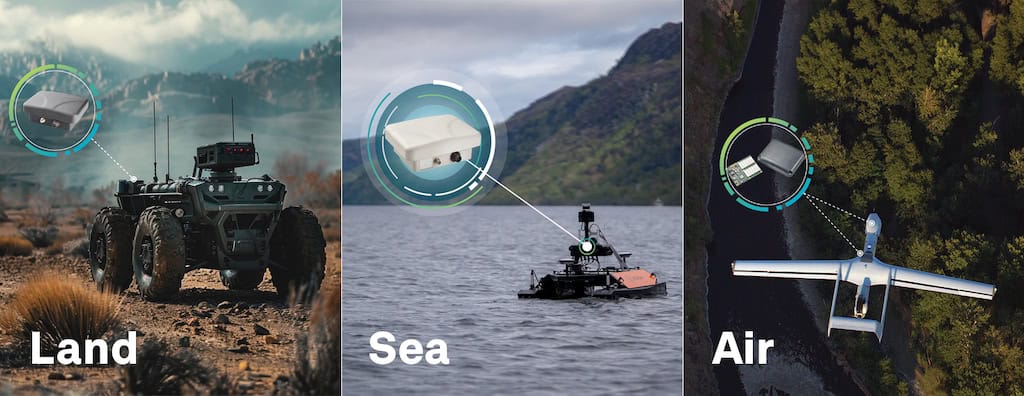

NovAtel, a developer of high-precision GPS and GNSS positioning technologies for UAVs (unmanned aerial vehicles) and unmanned systems, has released a case study highlighting the use of GNSS receivers and RTK positioning in the XAG P30 Plant Protection UAS, which is used for precision crop spraying. The case study was published in NovAtel’s annual Velocity magazine.
Download the full issue of NovAtel’s Velocity Magazine here
China-based XAG is working to develop services and solutions that allow farmers to improve productivity and ensure that produce remains safe to eat. This includes deploying drones for crop protection.
Previous manual spraying methods all have their own limitations and risks. Backpack spraying leads to high levels of chemical exposure and the associated health risks to the sprayer. Tractors can crush crops as they spray, hurting the farmer’s profitability. Manned aircraft are limited by the availability of airport facilities and can be expensive, making it especially difficult for smaller farms to use them.
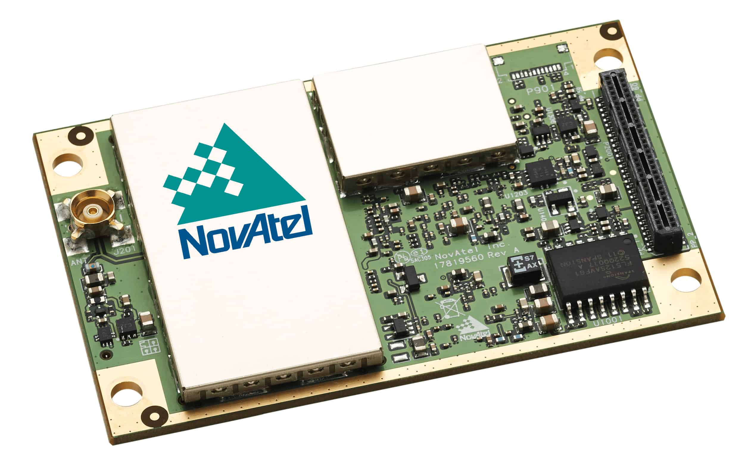
The designers of the fully autonomous XAG P30 Plant Protection UAS had to solve a number of challenges relating to positioning accuracy. Typical UAV solutions often utilise a barometer to detect altitude, GPS for positioning and a compass for heading direction. None of these instruments offer the level of precision needed for crop spraying. The designers therefore turned to a Global Navigation Satellite System (GNSS) receiver from NovAtel, designed to support a dual-antenna, high-precision, RTK solution for navigation.
“There were lots of problems that needed to be solved in the UAS plant protection area at that time,” said Justin Gong, vice president of XAG. “The compass was easily interfered with, triggering frequent accidents. GPS positioning precision fluctuated greatly with time so autonomous flight couldn’t be realized and surveying data couldn’t be reused. That’s why we decided to turn to RTK positioning.”
Integrating the RTK module onto the P30 Plant Protection UAS provided the precise positioning and heading direction information needed for successful and accurate crop spraying. The module was also used in the drone’s RTK base station.
To find out more about NovAtel’s GNSS solutions for precision agriculture, as well as the P30 Plant Protection UAS, download the full issue of NovAtel’s Velocity Magazine.