


HP | MJF for Unmanned Systems
WOLF Advanced Technology
Leading Suppliers in Finland

Image Processing & Analysis Software Suppliers in Finland

Category Presented by Blue Marble Geographics

Discover Finland-based suppliers of Image Processing & Analysis Software

Suppliers: Image Processing & Analysis Software

1 Leading Supplier
Grid List
Filtered by:
Nearthlab
Nearthlab
Finland (4 locations)

AI-Powered Autonomous Drone Solutions for Public Safety, Defense, and Industrial Inspection

Browse suppliers by country
Showcase your capabilities

If you design, build or supply Image Processing & Analysis Software, create a profile to showcase your capabilities and connect with visitors who have an active requirement for your solutions.


Create Supplier Profile

Products

1 Cutting-edge Solution
Add your solutions
Zoomable
Zoomable

Cloud analytics platform for inspection data processing & management

Cloud analytics platform for inspection data processing & management
..., tracking and analysis of drone inspection data. Utilizing advanced deep learning algorithms, the...

Related Articles

Sightline Intelligence Secures Major Edge Processing & AiTR Order for Airborne ISR Systems

Sightline Intelligence accelerates edge-computing capabilities for airborne imaging platforms by supplying 1,000 advanced edge processors and AI-enabled software licenses

Jul 03, 2026
Defense Portfolio Bolstered Through AI & Target Recognition Specialist Acquisition

The strategic acquisition of Sightline Intelligence integrates ultra-low latency edge AI video processing with Acron Technologies’ sensing hardware to create a suite of critical technologies for autonomous and defense aircraft

May 06, 2026
Overwatch AI-Enabled Sensors & Software Enhance Florida State Guard Rapid Response Fleet

The Florida State Guard is integrating Overwatch Imaging’s autonomous sensors and AI software into its aviation fleet to bolster disaster response and search and rescue operations

Apr 30, 2026
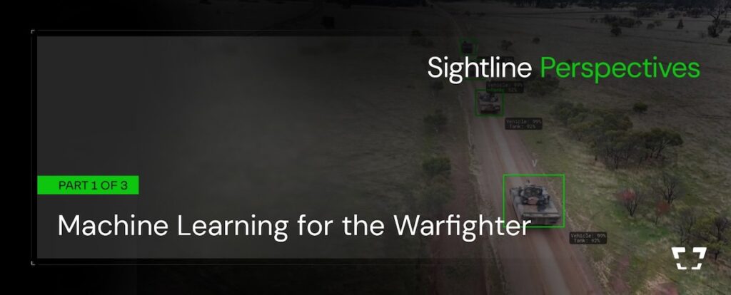
Machine Learning Performance & System Design for Defense Applications

Sightline Intelligence explains how machine learning performance in defense applications is shaped by training data, performance metrics, and system architecture, with a focus on reliable edge deployment beyond model-level capability

Apr 23, 2026
Theta Informatics & DEVCOM ARL Sign CRADA for Vision-Based Target Localization

Theta Informatics LLC enters a Cooperative Research and Development Agreement with the U.S. Army Combat Capabilities Development Command Army Research Laboratory to conduct research under “Vision-Based Target Localization"

Apr 14, 2026
AI-Powered Autonomous ISR Sensor & Software Solutions for UAVs

Overwatch Imaging's autonomous intelligence capabilities reduce operator workload and enable faster decision-making in dynamic environments

Apr 01, 2026
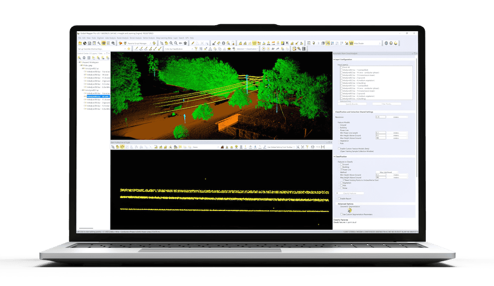
Advancing Point Cloud Processing Skills with Blue Marble Geographics’ Online Classroom

Blue Marble Geographics highlights its Online Classroom, featuring new self-paced courses in point cloud processing that cover core workflows, feature extraction, and advanced analysis using Global Mapper tools

Mar 18, 2026
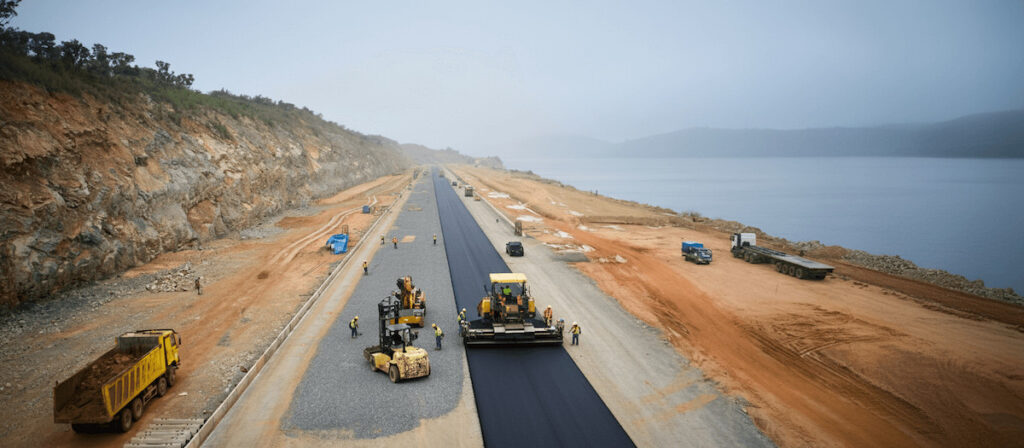
Drone-Based Photogrammetry & Watershed Analysis for Road Design in Indonesia

Blue Marble Geographics details how PT Waskita Karya (Persero) Tbk is using drone-based photogrammetry and watershed analysis within Global Mapper® to support environmentally responsible design and risk mitigation for a road project in Indonesia

Feb 06, 2026
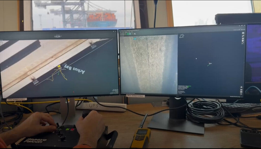
Voyis & EIVA Launch Geo-Located Camera Mapping for Subsea VSLAM

A major update to the VSLAM solution enables real-time 3D visual reconstructions to be natively aligned to global geodetic frames for the first time

Dec 19, 2025

THE WEEKLY eBRIEF

The latest unmanned systems news, straight to your inbox.

Get our weekly roundup of technology developments, new products and industry news.

By subscribing, you agree to receive the weekly UST eBrief newsletter from EchoBlue Ltd. Unsubscribe at any time using the link in every email. See our Privacy Notice.

Advancing Unmanned Systems Through Strategic Collaboration UST works with major OEMs to foster collaboration and increase engagement with SMEs, to accelerate innovation and drive unmanned systems capabilities forward.