


Showcase your capabilities
If you design, build or supply Drone Software, create a profile to showcase your capabilities and connect with visitors who have an active requirement for your solutions.


Drone software is the operational intelligence layer that enables UAVs to navigate, communicate, execute missions, and manage onboard systems. It spans embedded flight control, autopilot functions, ground control stations, mission planning, payload management, data processing, simulation, fleet management, cybersecurity, and airspace integration.
This directory showcases leading drone software companies supporting applications including mapping, inspection, ISR, environmental monitoring, autonomous docking, and BVLOS operations.
Read the Technology Overview
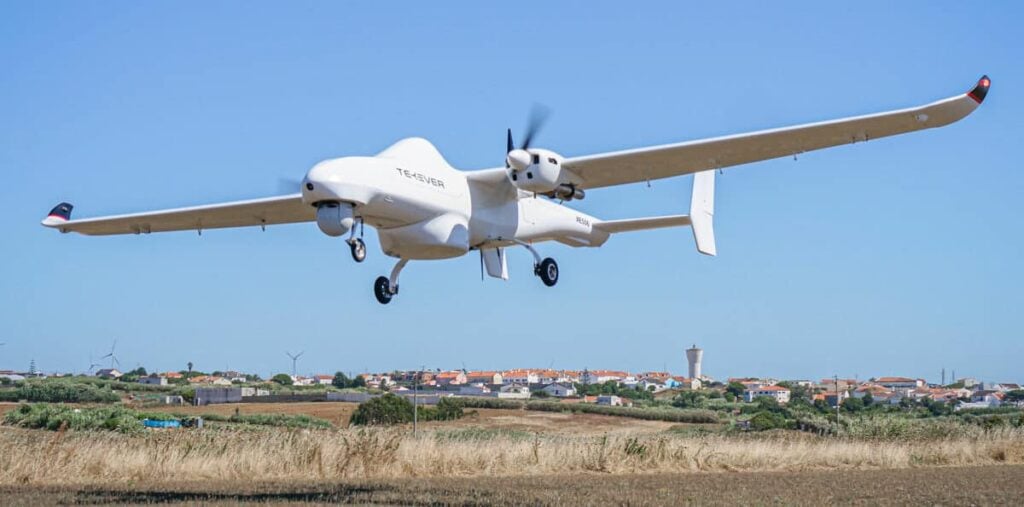
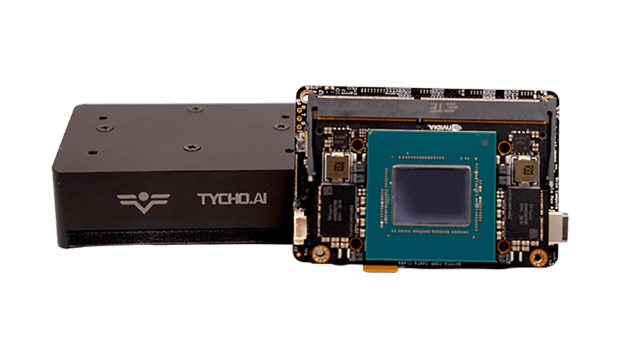
Fully Autonomous Multirotor Drones & Hybrid VTOL UAVs With AI Capabilities
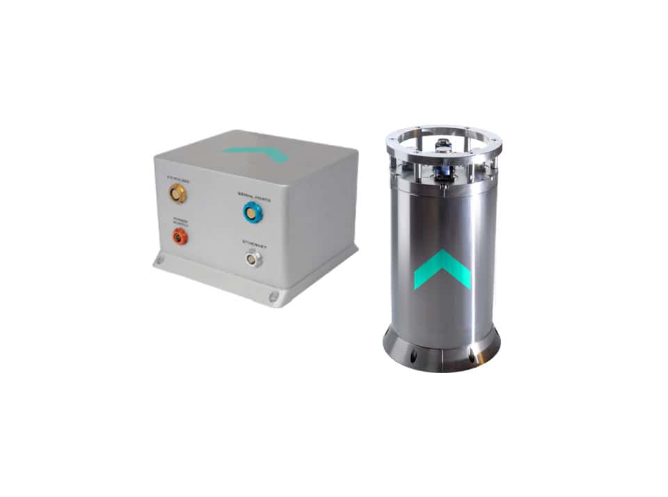
Inertial Navigation & Positioning Technology for Unmanned, Autonomous Systems
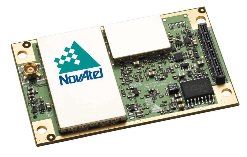
Precise Positioning for Unmanned Vehicles: GPS & GNSS Receivers, Antennas & Inertial Systems


Trusted Software Development Toolkits for Mission- & Safety-Critical UAV Software

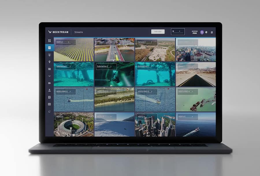
Ultra-Low-Bandwidth Real-Time Video Streaming Solutions for UAVs, Unmanned & Robotic Systems

Geospatial Software for Real-Time Mapping, Data Visualization & Situational Awareness

Onboard Video Processing Software and Hardware for Unmanned Systems
Comprehensive Hardware & Software Solutions for Drone Operations & Airspace Integration
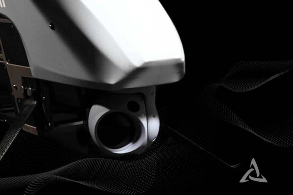
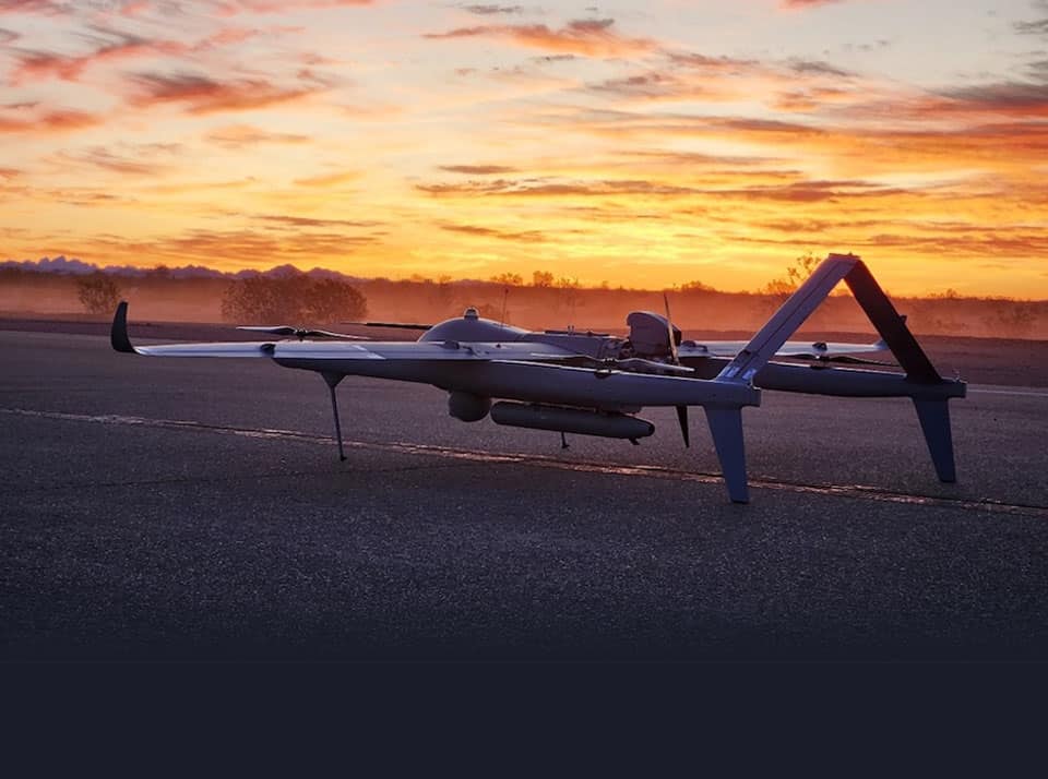
Advanced UAV & Unmanned Systems for Challenging Missions in Government, Defence & Commercial Applications
Cutting-Edge AI-powered Drone Video Analytics Solutions for Object Detection

Drone Software Engineering Consultancy Providing Comprehensive UAV Platform Development Services
High-Performance Drone Batteries, Power Management Systems, Fleet Management Software, Solar MPPT Integration, Celular C2 & Payload Communications

Embedded Systems Software Development, Firmware Programming & Drone Software Design/Testing Services
Radar Software & Sensor Processing Solutions, Maritime Radar Control, Tracking & Visualization for USV

Connecting High-Performance Spatial Analysis in the Office with Reliable Execution in the Field
SDR Technology, UAV Data Links & Tracking Antennas for Long-Range Communications
If you design, build or supply Drone Software, create a profile to showcase your capabilities and connect with visitors who have an active requirement for your solutions.

Drone software serves as the operational intelligence layer that enables an unmanned aircraft to navigate, communicate, and execute complex industrial missions. While airframes, propulsion setups, and payloads establish the physical constraints of an aircraft, specialized software for drones dictates exactly how these sub-systems interact. In professional deployments, this creates a deeply layered ecosystem that spans from the embedded flight-control code running on the autopilot up to ground control stations and enterprise cloud networks.
Because an autonomous aircraft lacks an onboard pilot to evaluate environmental shifts, deterministic logic must govern flight stability, link-loss routines, and strict safety constraints. Modern commercial drone software platforms actively drive high-level autonomy by automating intricate workflows such as survey mapping, real-time sensor management, and wind mitigation. In BVLOS, defense, and heavy industrial applications, selecting a mature drone software platform is just as critical as choosing the physical aircraft itself.
Flight control software serves as the real-time, deterministic layer responsible for basic aerodynamic stability. It processes high-frequency inputs from inertial measurement units (IMUs), barometric sensors, GNSS modules, and air data computers to calculate instantaneous actuator commands.
For multirotor architectures, applications like quadcopter software manages rapid adjustments in roll, pitch, yaw, and thrust hundreds of times per second. Fixed-wing UAV software governs traditional control surfaces while hybrid Vertical Takeoff and Landing (VTOL) platforms introduce complex algorithmic transitions between hover and wing-borne flight where aerodynamic authority shifts completely.
Sitting directly above low-level stabilization loops, autopilot software handles mission execution, waypoint navigation, and automated failsafes. The autopilot serves as the core intelligence that transforms a remotely piloted vehicle into a fully autonomous platform.
Open-source architectures have significantly shaped the modern unmanned systems market. Software suites like ArduPilot and PX4 offer modular, robotics-centric firmware supporting diverse airframes, though engineers must meticulously configure control gains and safety thresholds for each unique platform.
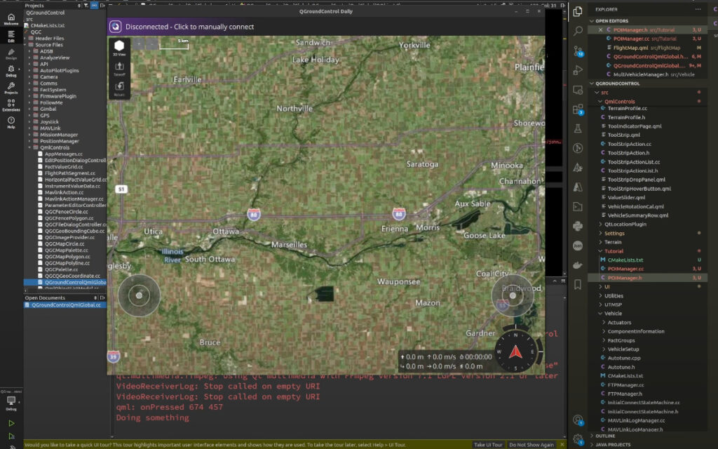
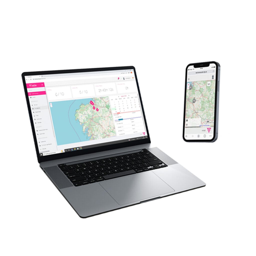
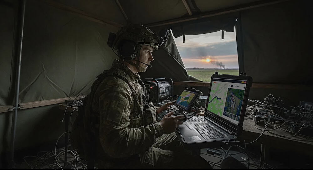
Ground control station (GCS) software provides the primary human-machine interface for command and supervision. It aggregates telemetry logs, battery health, payload statuses, and link quality into an actionable operator display.
In military and commercial applications, a GCS functions as a critical decision-support tool. The interface must display complex data clearly, ensuring that vital safety warnings are never obscured by secondary telemetry during high-workload missions.
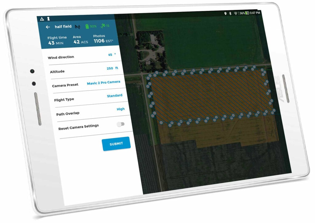
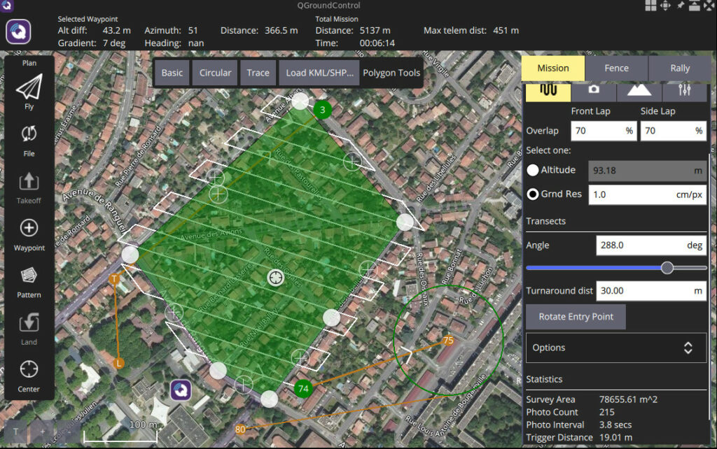
Mission planning and flight planning software converts operational objectives into executable flight paths. Designers use these tools to define corridors, set sensor standoff distances, import digital terrain models, and calculate energy consumption against safe battery margins.
Advanced mission planning applications support dynamic replanning. This allows either the operator or onboard autonomy code to adapt to changing weather, airspace constraints, or payload inputs in real time without compromising safety.
Payload software bridges the gap between the aircraft, the operator, and collected data. It manages everything from electro-optical/infrared (EO/IR) gimbals and LiDAR scanners to synthetic aperture radar (SAR) and specialized gas sensors.
Robust payload and SIGINT software synchronizes sensor capture directly with navigation data. When managing multiple sensors, the software aligns timestamps, geotags payload data, and manages internal storage without degrading flight-critical processing loops.

Global Mapper Geospatial Drone Software by Blue Marble Geographics
Once data is captured, drone imaging processing software transforms raw sensor outputs into actionable assets like orthomosaics, 3D point clouds, and digital terrain models. In inspection workflows, built-in image enhancement software can assist with the identification of structural defects, thermal anomalies, or vegetation encroachment. This is also typically incorporated into environmental monitoring software frameworks.
Depending on mission urgency and bandwidth, this processing can occur onboard the aircraft, at the tactical edge via a rugged field workstation, or within cloud infrastructure. For industrial and defense specifiers, maintaining a strict audit trail within the software is vital to preserve data provenance.
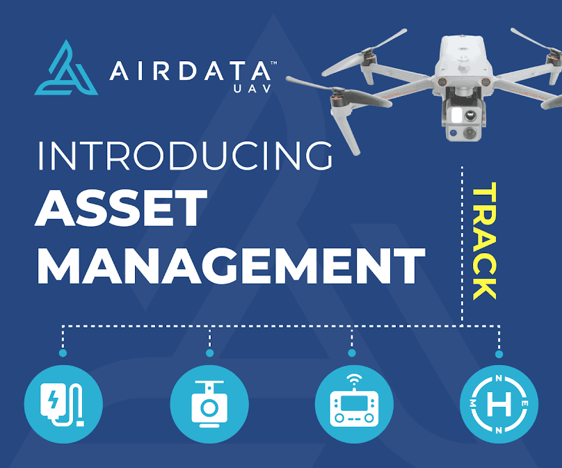
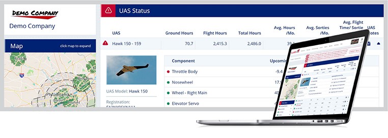
As operations scale, managing an enterprise fleet requires centralized tracking software. Fleet management software logs aircraft flight hours, firmware versions, battery lifecycle degradation, maintenance intervals, and pilot currencies.
A dedicated drone software company will often integrate fleet management directly with compliance workflows. This provides operators with a transparent view of asset readiness, which is particularly valuable for automated drone-in-a-box deployments.
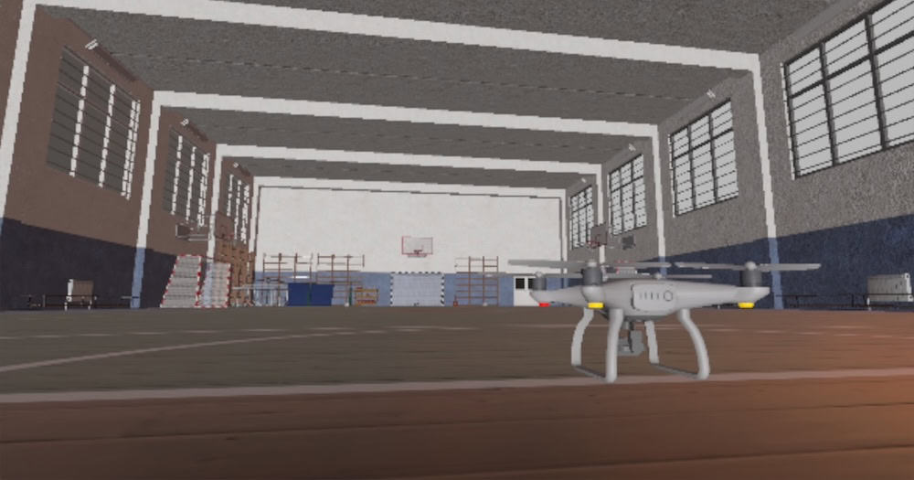
Simulation tools allow engineering teams to validate flight characteristics and drone programming software changes before risking physical hardware. Software-in-the-loop (SIL) environments test mission logic without physical hardware, while hardware-in-the-loop (HIL) testing integrates the actual flight controller to verify real-time execution.
Simulation software is indispensable for validating edge-case scenarios like sudden sensor failures, obstacle avoidance maneuvers, and cooperative swarm behaviors. These environments reduce testing costs and protect expensive physical prototypes.
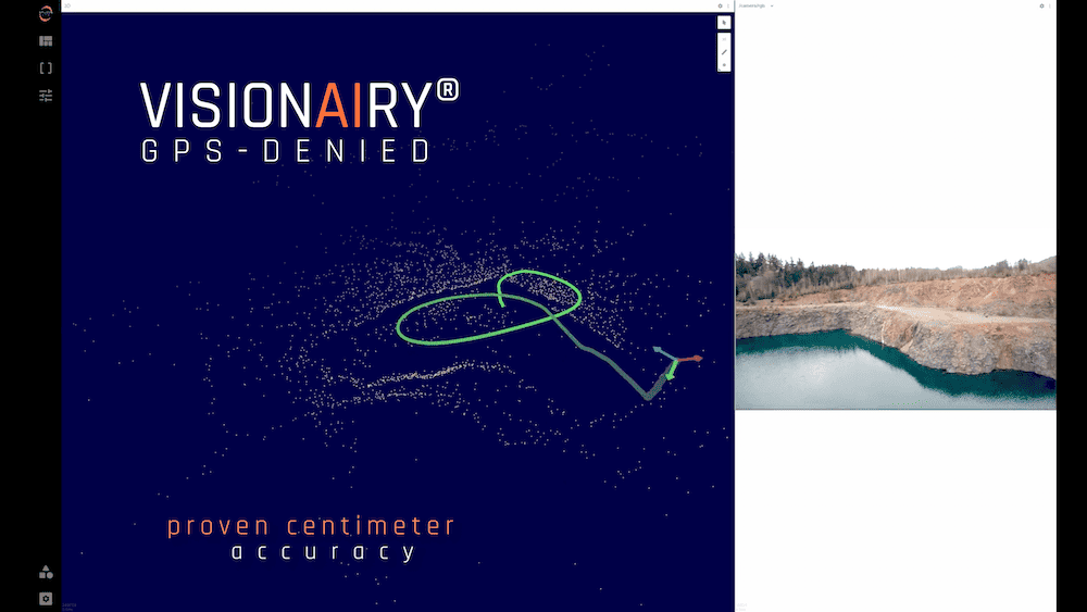
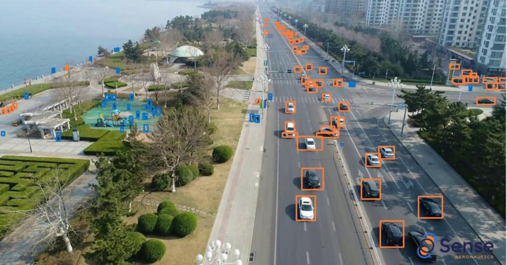
Modern autonomy software allows aircraft to interpret external environments and make real-time decisions. This ranges from simple terrain-following routines to AI software models that identify landing zones or track moving targets.
At the same time, Unmanned Traffic Management (UTM) software integrates the aircraft into broader airspace networks. Compliance software and frameworks like Remote ID in the United States and U-space in Europe demand that drone programming software continuously broadcast identification data and coordinate paths with external traffic service providers.
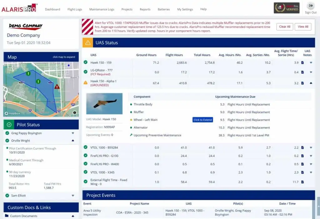
AlarisPro UAS Operations & Fleet Management Software
Implementing robust drone cybersecurity measures is essential to protect autonomous unmanned hardware from modern digital threats.
Establishing these multi-layered defensive barriers ensures the platform remains operational even when facing targeted digital disruptions.
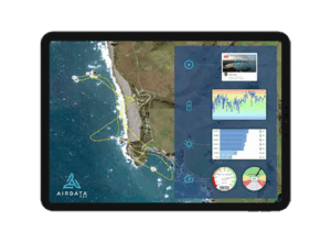
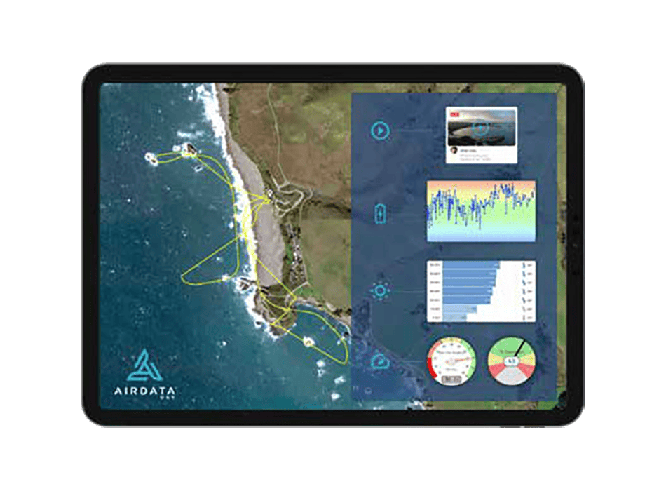
AirData UAV Software
Selecting between open-source frameworks and proprietary platforms requires a careful evaluation of operational flexibility versus out-of-the-box dependability.
Ultimately, the ideal software model balances immediate integration workloads with long-term intellectual property and maintenance objectives.

DroneSuite® Software by ITG Drone Solutions
A professional unmanned software stack is split into distinct functional tiers to protect processing cycles. The embedded layer handles high-priority tasks like sensor reading and stabilization loops, the middleware layer manages high-speed data distribution via frameworks like MAVLink, and the application layer runs non-flight-critical tasks like mission planning.
This strict division ensures that a failure, lag spike, or memory leak within a high-level application layer cannot starve the core embedded flight software of processing cycles. It forms the foundation of reliable system dependability.
Software Development Kits (SDKs) abstract complex low-level communication protocols into stable, developer-friendly interfaces. For instance, MAVSDK allows engineers to build custom payload triggers or automated flight workflows without manually managing individual serial packets.
Well-designed APIs ensure that as underlying firmware evolves, upstream enterprise applications remain stable and functional. This reduces long-term maintenance overhead for third-party engineering integrations.
Developing a modular architecture allows manufacturers to build a single scalable UAS platform family that supports varied payloads. By decoupling core flight logic from peripheral sensor management, integrators can easily swap a mapping camera for a thermal sensor without requiring a complete system re-test.
Scalability depends heavily on clear interface control documents and automated regression testing. This allows software capabilities to grow incrementally across an aircraft lifecycle without breaking core functionality.
Advanced autonomous platforms utilize secondary mission computers to offload processing from the primary autopilot. While the autopilot remains dedicated to deterministic flight control, the mission computer runs resource-intensive workloads like AI-based object detection or real-time LiDAR point cloud generation.
The data bus connecting these processors must be tightly managed to prevent latency spikes or command conflicts. Software design must explicitly dictate which computer owns specific operational decisions during a mission.
Distributing computational tasks effectively across onboard, edge, and cloud environments is vital for maximizing operational efficiency and meeting size, weight, and power constraints:
| Processing Tier | Primary Use Case | Key Advantages | Constraints |
| Onboard | Real-time flight control, obstacle avoidance, immediate target tracking. | Ultra-low latency, functions without any datalink connection. | Limited size, weight, and power (SWaP) capacity. |
| Edge | Rapid post-flight data verification, field-level mapping applications. | Fast turnaround, operates on rugged local workstations without internet. | Requires local hardware deployment. |
| Cloud | Enterprise analytics, large-scale photogrammetry, long-term fleet logging. | Practically unlimited compute and storage, easy collaboration. | Requires high-bandwidth connectivity: restricted in secure military environments. |
The rapid evolution of unmanned autonomous technology is continuously shifting the boundaries of what flight software must achieve.
Embracing these progressive paradigms allows operators to scale their fleets while maintaining safety, compliance, and data fidelity.

 Searching Companies & Products


 Subscribe to the Weekly eBrief
The latest engineering and technical developments straight to your inbox - join thousands of engineers who receive it.
Subscribe to the Weekly eBrief
The latest engineering and technical developments straight to your inbox - join thousands of engineers who receive it.