
Showcase your capabilities
If you design, build or supply 3D LiDAR Scanners, create a profile to showcase your capabilities and connect with visitors who have an active requirement for your solutions.



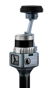
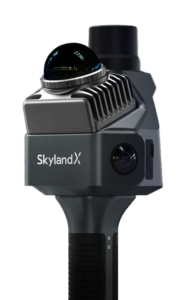
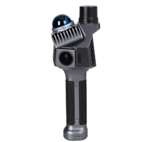
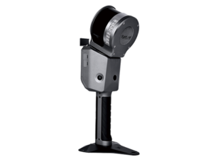
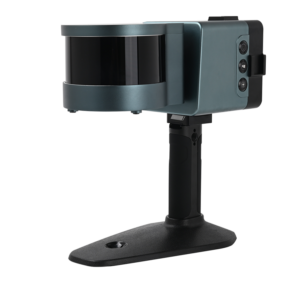
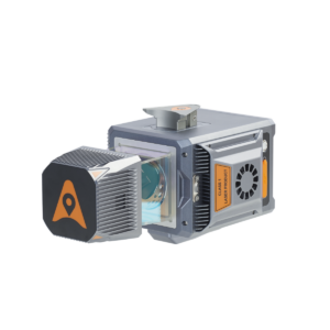
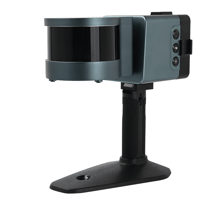
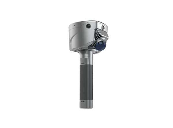
3D LiDAR scanners are laser-based sensing systems that measure surrounding surfaces to generate three-dimensional point clouds for drones, UGVs, mobile robots, and other autonomous platforms. They support 3D mapping, obstacle detection, terrain measurement, localization, navigation, inspection, and spatial awareness.
This category showcases 3D LiDAR scanner manufacturers supporting surveying, infrastructure inspection, environmental monitoring, and autonomous operations.
Read the Technology Overview



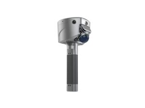
GNSS Positioning Systems, 3D SLAM & Mobile Mapping, Unmanned Surface Vehicles

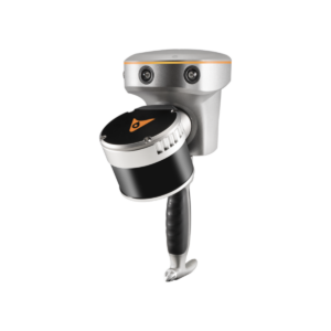
GNSS Positioning & Navigation Systems, Mobile Mapping UAV LiDAR & Unmanned Surface Vehicles

If you design, build or supply 3D LiDAR Scanners, create a profile to showcase your capabilities and connect with visitors who have an active requirement for your solutions.

3D LiDAR scanners use laser energy to measure distances to surrounding surfaces and generate three-dimensional representations of an environment. Mounted on drones, Unmanned Ground Vehicles (UGVs), mobile robots, and other autonomous platforms, these sensors can capture dense spatial data for mapping, navigation, surveying, inspection, and environmental perception.
A typical 3D LiDAR scanner combines a laser source, beam-steering or illumination optics, a photodetector receiver, timing electronics, and onboard processing to determine the distance to surrounding surfaces from returned laser signals. Large numbers of measurements collected across horizontal and vertical fields of view are combined into a 3D point cloud representing terrain, structures, vegetation, obstacles, and other objects, with the resulting data processed either onboard for real-time autonomy or later for mapping and analysis.
LiDAR 3D mapping uses successive range measurements to create detailed point clouds of buildings, terrain, infrastructure, and other environments. When combined with positioning and orientation data, these measurements can be transformed into georeferenced 3D maps for surveying, asset documentation, volumetric measurement, and autonomous navigation.
A 3D LiDAR sensor can detect objects within its field of view by measuring their distance and spatial position relative to the platform, giving drones and robots an updated representation of nearby hazards. Rapid point cloud updates can support the detection of walls, trees, vehicles, structures, and other obstacles along a planned or dynamically generated route.
3D LiDAR scanners measure the shape, elevation, and geometry of surfaces without requiring physical contact, making them useful for both aerial and ground-based measurement. Drone-mounted systems can collect terrain data across larger areas, while ground robots can characterize slopes, steps, uneven surfaces, and other features that influence mobility and route planning.
Point cloud data provides autonomous systems with information about the size, location, shape, and relative position of surrounding objects, helping build a three-dimensional understanding of the operating environment. Processing software can segment or classify features within the point cloud to support perception, navigation, and interaction with complex or changing surroundings.
3D LiDAR can support localization by comparing live scans with previous measurements or an existing map, making it particularly useful where Global Navigation Satellite System (GNSS) positioning is unavailable, unreliable, or insufficiently precise. The LiDAR sensor itself provides range measurements, while localization or mapping algorithms process those measurements to estimate the platform’s position and movement.
Repeat LiDAR 3D scanning can reveal geometric differences between datasets collected at different times, allowing changes in surfaces or structures to be measured and documented. Applications include structural monitoring, deformation assessment, construction progress tracking, stockpile measurement, and detection of changes in terrain or infrastructure.
3D LiDAR scanners use several methods to direct or distribute laser energy across the surrounding environment, with each architecture offering different characteristics in terms of coverage, mechanical complexity, measurement density, size, power consumption, and suitability for unmanned platforms.
| Type | Scanning Method | Typical Characteristics | Relevance to Unmanned Systems |
| Mechanical Rotating LiDAR | Physical rotation of the optical or sensor assembly | Wide horizontal coverage and dense 3D scanning | Common where broad environmental awareness is required |
| Solid-State 3D LiDAR | Non-rotating beam steering or area illumination | Compact construction without large rotating assemblies | Suitable for space- and weight-constrained platforms |
| MEMS Scanning LiDAR | Microelectromechanical mirror steers the laser beam | Compact beam steering with configurable scan patterns | Useful for drones, robots, and embedded perception systems |
| Flash LiDAR | Illuminates an area simultaneously and measures a depth image | No sequential mechanical scanning across the scene | Useful for short-range 3D perception and rapid scene capture |
| Multi-Beam LiDAR | Uses multiple laser channels or beams | Captures multiple range measurements simultaneously | Supports higher point acquisition rates and broader vertical coverage |
3D LiDAR for drones enables aerial platforms to collect elevation and surface data across terrain, construction sites, infrastructure, forestry, and other survey areas. Integration with GNSS and inertial systems allows point clouds to be positioned and oriented accurately for mapping, measurement, and geospatial analysis workflows.
Robots and drones can use live 3D LiDAR data to estimate free space, detect surrounding geometry, and support route planning as they move through an environment. LiDAR measurements can also be combined with inertial sensors, cameras, wheel odometry, or other navigation inputs to improve localization and environmental awareness.
A 3D LiDAR scanner drone can measure distance to terrain, structures, or vegetation beneath and around the aircraft, providing information that can support terrain-relative flight. These measurements can help the platform maintain suitable clearance while operating over uneven, sloping, or changing surfaces.
Real-time LiDAR measurements allow autonomous systems to identify potential collision hazards and estimate their relative position, distance, and shape. Processing systems can then use this information to slow, stop, reroute, or alter a flight path as obstacles enter defined safety zones.
Drone-mounted 3D LiDAR scanners can collect spatial data along roads, railways, pipelines, power lines, waterways, and other linear infrastructure, providing efficient coverage of extended routes. Wide-area acquisition combined with accurate trajectory data can support corridor mapping, clearance analysis, inspection planning, and change monitoring.
In indoor spaces, tunnels, urban areas, forests, and other environments where satellite positioning is limited, 3D LiDAR can provide measurements for scan matching and Simultaneous Localization and Mapping (SLAM). SLAM is not a type of LiDAR scanner itself, but a localization and mapping technique that processes successive LiDAR scans to estimate platform movement while building or updating a map of the environment.
3D LiDAR is often used alongside other perception and mapping technologies rather than as a direct replacement for every sensor type, since each sensing method provides different information and responds differently to environmental conditions.
Combining LiDAR with cameras, radar, and inertial sensors can provide complementary measurements for autonomous perception, localization, and navigation.
Developments in 3D LiDAR are increasingly focused on reducing sensor size, improving integration, and making better use of range data through onboard processing and multi-sensor fusion.
These developments are extending 3D LiDAR from dedicated mapping payloads into increasingly integrated perception systems for autonomous drones and robotics.


 Searching Companies & Products