Simultaneous Localization and Mapping (SLAM) is a navigation and perception technique that enables autonomous systems to estimate their position while building a map of an unknown or partially mapped environment. Common applications include autonomous navigation, environmental mapping, obstacle avoidance, and operation in GNSS-degraded environments.
This page features suppliers of SLAM technology for drones, UAVs, UGVs, mobile robots, and underwater vehicles.
If you design, build or supply Simultaneous Localization & Mapping (SLAM), create a profile to showcase your capabilities and connect with visitors who have an active requirement for your solutions.
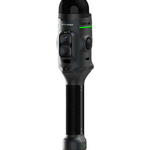
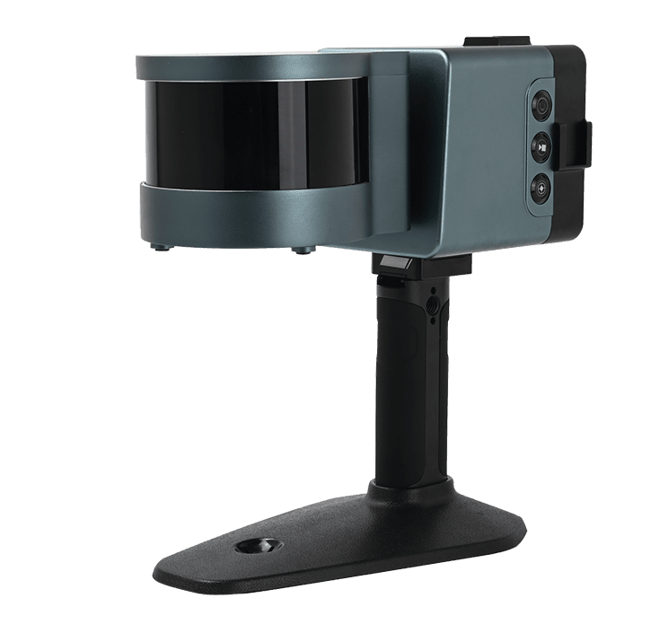
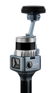
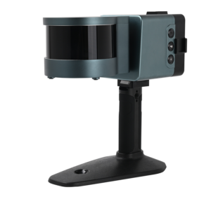
Portable GNSS + SLAM surveying device for multi-environment measurement
Portable GNSS + SLAM surveying device for multi-environment measurement
...ning with SLAMtechnology to remove the spatial constraints of traditional RTK measurements. It... ...work with SLAMtechnology to calculate 3D coordinates directly from selected image points, achieving...
The Complete Guide to Simultaneous Localization & Mapping (SLAM) for Drones & Robotics
Overview by
William Mackenzie
Updated:
Introduction to Simultaneous Localization & Mapping (SLAM)
Simultaneous Localization and Mapping (SLAM) is a navigation and perception technique that enables a robot or autonomous vehicle to estimate its position while building a map of an unknown or partially mapped environment. SLAM localization and mapping is particularly valuable where reliable external positioning is unavailable, intermittent, or insufficient for precise autonomous operation.
For drones, Unmanned Ground Vehicles (UGVs), mobile robots, and underwater systems, SLAM can combine data from cameras, Light Detection and Ranging (LiDAR), inertial sensors, radar, depth sensors, and other sources to support real-time navigation and environmental understanding. SLAM for drones and robotic systems is therefore especially useful in indoor, underground, urban, subsea, and other GPS-denied or GNSS-degraded environments.
Core Functions of SLAM for Drones & Unmanned Systems
SLAM systems combine localization, mapping, motion estimation, and environmental perception to support autonomous movement through previously unknown or only partially mapped areas.
Real-Time Localization: SLAM continuously estimates the position and orientation of the unmanned platform relative to its surroundings as it moves, providing the navigation system with an updated estimate of vehicle pose.
Environmental Mapping: Sensor observations are processed into a representation of the operating environment, which may take the form of 2D maps, 3D point clouds, occupancy grids, or feature-based maps depending on the sensors and application.
Relative Motion Estimation: Changes in position and orientation are estimated between successive sensor measurements, allowing the system to track vehicle motion over time. Loop closure and map optimization can then reduce accumulated drift when previously observed locations are recognized.
Navigation Without External Positioning: SLAM can provide a local navigation reference when GNSS is unavailable, degraded, obstructed, or unable to provide the positioning accuracy required by the autonomous system.
Obstacle and Environment Awareness: Mapping sensors can identify surrounding structures, terrain, and obstacles, providing environmental information that may also be used by collision-avoidance, perception, and autonomy systems.
Autonomous Route Planning Support: The maps and position estimates generated by SLAM provide spatial information that path-planning software can use to select routes, avoid obstacles, and update planned movement as the environment is mapped.
Together, these functions allow autonomous platforms to maintain awareness of both their own movement and the surrounding environment as they operate.
Key Types of Simultaneous Localization & Mapping
LiDAR SLAM
LiDAR SLAM uses measurements from laser scanners to estimate vehicle motion while constructing geometric maps of the surrounding environment. Successive LiDAR scans can be aligned through scan matching or point cloud registration, allowing a SLAM mapper to track movement and progressively build detailed 2D or 3D representations of the area. This approach is well suited to drones, ground robots, and autonomous vehicles operating in environments with sufficiently distinct geometric features.
Visual SLAM
Visual SLAM uses imagery from one or more cameras to identify and track environmental features while estimating camera motion through the scene. Monocular, stereo, and other SLAM camera configurations can provide relatively lightweight perception for unmanned platforms where payload size and power are limited, while a visual SLAM drone can use surrounding features for localization during indoor flight, inspection, and navigation around structures.
Visual-Inertial SLAM
Visual-inertial SLAM combines camera observations with measurements from an Inertial Measurement Unit (IMU), allowing the strengths of each sensing method to support the other. Inertial data provides high-rate short-term motion information, while visual observations help constrain accumulated drift, making this approach particularly useful for drone SLAM navigation where compact cameras and IMUs can provide an effective balance of weight, update rate, and environmental perception.
LiDAR-Inertial SLAM
LiDAR-inertial SLAM combines LiDAR measurements with inertial data to improve motion estimation during rapid movement and between successive laser scans. The IMU supplies high-frequency measurements of rotation and acceleration, while LiDAR provides geometric information from the surrounding environment, creating a combination that can support Unmanned Aerial Vehicle (UAV) SLAM, mobile robotics, autonomous vehicle SLAM, and other systems requiring robust 3D localization.
Red-Green-Blue-Depth (RGB-D) SLAM
RGB-D SLAM uses cameras that provide both color imagery and per-pixel depth information, allowing the system to recover visual appearance and three-dimensional scene geometry at the same time. Direct depth measurements can simplify dense mapping over relatively short ranges, making RGB-D systems particularly suitable for indoor robotics, confined-space inspection, and other applications where the operating range of the depth sensor is sufficient.
Radar SLAM
Radar SLAM uses reflected radio-frequency signals to estimate movement and map environmental features, providing a sensing option that does not depend on visible illumination. Radar can operate in darkness and may retain useful performance in dust, fog, smoke, and other conditions that reduce the effectiveness of optical sensing, allowing it to complement cameras or LiDAR in unmanned systems designed for challenging environments.
Multi-Sensor SLAM
Multi-sensor SLAM combines measurements from several sensing technologies, such as LiDAR, cameras, radar, IMUs, GNSS receivers, or vehicle odometry, so that weaknesses in one data source can be offset by information from another. Sensor fusion can improve continuity when individual sensors become unreliable while providing complementary geometric, visual, motion, and absolute-position information, which is particularly useful for autonomous systems operating across varied indoor and outdoor environments.
Sensors Used for Simultaneous Localization & Mapping
The choice of sensors influences the range, accuracy, environmental suitability, payload requirements, and computational demands of a SLAM system, so sensor combinations are selected according to both the vehicle and its operating environment.
LiDAR Sensors: LiDAR provides precise range measurements that can be converted into 2D scans or 3D point clouds, giving SLAM systems geometric information for localization, map generation, and scan matching.
Monocular and Stereo Cameras: Cameras provide visual features, texture, and scene information that can be tracked as the platform moves. Stereo systems can estimate depth from image disparity, while monocular systems recover scene structure and relative motion but generally require additional information or constraints to establish absolute scale.
Depth Cameras: RGB-D, time-of-flight, and related depth-sensing cameras provide direct distance measurements across the image, making them particularly useful for short-range indoor mapping and navigation.
Inertial Measurement Units: IMUs measure angular rate and linear acceleration, providing high-frequency motion information that can stabilize and constrain visual or LiDAR-based SLAM estimates between external sensor updates.
Radar Sensors: Radar provides range information and, where Doppler measurements are available, relative radial velocity information, supporting localization in conditions where poor visibility, limited illumination, or airborne particulates make optical sensing less reliable.
GNSS Receivers: Where satellite signals are available, GNSS can provide an absolute position reference that constrains SLAM drift and helps align locally generated maps with global coordinates.
Sensor combinations are selected according to the operating environment, required localization accuracy, vehicle dynamics, and the available size, weight, power, and processing capacity.
Applications of SLAM Across Unmanned Systems
SLAM for Drones and UAVs
SLAM for drones enables autonomous flight in areas where GNSS cannot provide a dependable navigation solution, allowing the aircraft to estimate its position relative to nearby surfaces and environmental features. Indoor drone navigation, infrastructure inspection, warehouse mapping, tunnel operations, and navigation around buildings can all use drone SLAM, while an autonomous drone SLAM system may also supply mapping information to collision-avoidance and path-planning software. Multi-UAV systems can extend these capabilities further through shared or coordinated mapping across several aircraft.
Ground Vehicles & Mobile Robots
SLAM robotics is widely used for autonomous ground navigation in warehouses, mines, tunnels, industrial facilities, and other environments where mapped infrastructure or satellite positioning may be incomplete or unavailable. A SLAM robot can build or update an environmental map while estimating its own pose within it, allowing navigation software to plan routes around obstacles, while similar autonomous vehicle localization mapping technology is used by inspection robots, search-and-rescue platforms, security UGVs, and other mobile robotic systems.
SLAM for Underwater Vehicles
Autonomous Underwater Vehicles (AUVs) and Remotely Operated Vehicles (ROVs) can use SLAM to support localization and mapping where GNSS signals do not penetrate below the water surface. Sonar-based SLAM can use acoustic measurements to identify seabed features, structures, or other environmental references, while visual-inertial approaches may be used where suitable visibility and lighting are available. These techniques can complement inertial, acoustic, and velocity-based navigation systems during subsea inspection, mapping, and autonomous underwater missions.
Comparison with Odometry & Localization Technologies
SLAM is closely related to several navigation and mapping techniques, although their underlying objectives and outputs differ. Many of these technologies can also operate as components within a wider SLAM architecture.
Technology
Primary Function
Typical Sensors
Relationship to SLAM
Visual Odometry
Estimates relative motion from sequential images
Monocular or stereo cameras
Can provide motion estimates within a visual SLAM system but does not necessarily build or globally optimize a persistent map.
LiDAR Odometry
Estimates movement by matching successive laser scans
2D or 3D LiDAR
Often forms part of LiDAR SLAM, with broader SLAM processing adding mapping, loop closure, and map optimization.
Inertial Navigation
Estimates position, velocity, and attitude from inertial measurements
Accelerometers and gyroscopes
Provides continuous motion estimation but accumulates drift, so inertial data is frequently fused with SLAM sensors.
GNSS-Based Localization
Provides position relative to a global reference frame
GNSS receiver and antenna
Supplies absolute positioning where satellite signals are available and can also be used to constrain SLAM solutions.
3D LiDAR Scanning
Captures geometric measurements of surrounding surfaces
3D LiDAR scanner
Produces point cloud data, but a scanner is not inherently a SLAM system. SLAM adds continuous pose estimation and map alignment while the sensor moves.
These technologies are frequently combined rather than used in isolation, with UAV SLAM systems, for example, potentially integrating visual or LiDAR odometry, inertial navigation, and GNSS within a single navigation and mapping architecture.
Emerging Developments in SLAM Technology
SLAM technology continues to develop as sensing, onboard computing, and autonomous perception become more capable, allowing systems to operate for longer periods and extract more information from the environments they map.
Artificial Intelligence (AI)-Assisted Perception: Machine learning can improve feature recognition, scene understanding, object identification, and semantic mapping, allowing SLAM systems to represent meaningful environmental information in addition to geometric structure.
Radar-Based SLAM: Improvements in radar sensing and processing are expanding the use of radar for autonomous localization in darkness, dust, fog, smoke, and other visually challenging environments where optical sensors may be less effective.
Collaborative SLAM: Multiple drones, robots, or autonomous vehicles can contribute observations to shared maps, potentially extending coverage and improving environmental awareness across distributed platforms.
Long-Term Autonomy: More advanced map maintenance, re-localization, and change detection are improving the ability of autonomous systems to revisit and operate within environments that evolve over time.
Together, these developments are extending simultaneous localization and mapping from individual navigation systems toward more persistent, distributed, and context-aware autonomous operation.
The latest unmanned systems news, straight to your inbox.
Get our weekly roundup of technology developments, new products and industry news.
THANK YOU FOR SIGNING UP
Thanks for joining us. Check your inbox.
We've sent you an email. Click the confirmation link to complete your subscription to the weekly eBrief. In the meantime, explore the latest news, suppliers and technologies on UST.
Advancing Unmanned Systems Through Strategic Collaboration
UST works with major OEMs to foster collaboration and increase engagement with SMEs, to accelerate innovation and drive unmanned systems capabilities forward.