
Showcase your capabilities
If you design, build or supply RGB Drone Cameras, create a profile to showcase your capabilities and connect with visitors who have an active requirement for your solutions.




RGB drone cameras are visible-light imaging systems that capture high-resolution color photographs and video for UAV applications. Available configurations include compact camera modules, fixed-mounted systems, and gimbal-stabilized payloads.
This category features RGB drone camera suppliers offering imaging solutions for aerial photography, surveying, photogrammetry, infrastructure inspection, surveillance, and real-time monitoring.
Read the Technology Overview
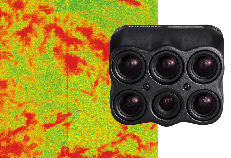
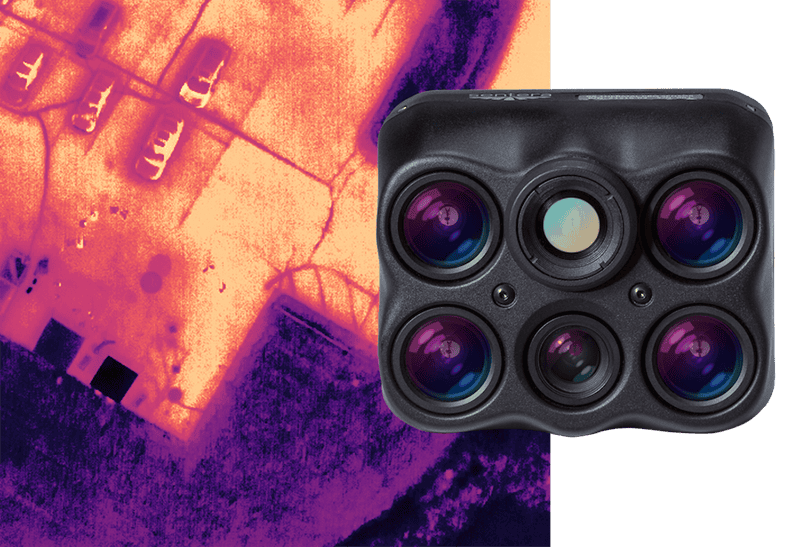
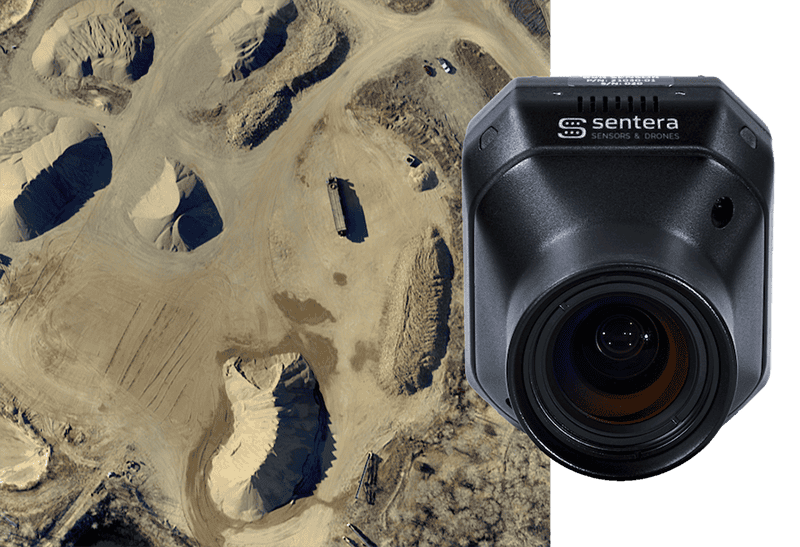
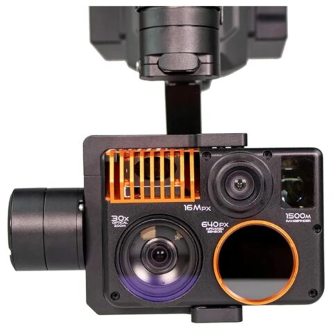
High-Performance Remote Sensing Solutions for Delivering Accurate Aerial Insights

If you design, build or supply RGB Drone Cameras, create a profile to showcase your capabilities and connect with visitors who have an active requirement for your solutions.

RGB drone cameras capture visible-light imagery using Red, Green, and Blue (RGB) color channels, providing high-resolution photographs and video for Unmanned Aerial Vehicle (UAV) operations. These imaging systems are used for aerial mapping, surveying, infrastructure inspection, agricultural monitoring, and visual surveillance, where they capture detailed information about terrain, structures, and other surface features.
Available in compact fixed-mounted configurations, stabilized imaging payloads, and integrated camera modules, RGB cameras can support both manual imaging tasks and automated data collection. Their lenses focus incoming light onto electronic image sensors, while onboard processing converts the captured signals into digital images or video, with suitable systems also providing visual data for object detection, autonomous navigation, and 3D photogrammetric reconstruction.
High-resolution RGB cameras capture detailed still images of landscapes, buildings, infrastructure, and other ground features, with larger image sensors and high-quality optics helping improve image detail, dynamic range, and performance in challenging lighting conditions. Applications include site documentation, aerial surveying, construction monitoring, and inspection photography, where image clarity is important for identifying visible features and recording asset condition.
RGB drone cameras provide continuous video for aerial observation, remote monitoring, and mission documentation, while integration with suitable video transmission equipment can deliver live imagery to ground control stations during flight. Gimbal-stabilized payloads help maintain steady footage despite aircraft movement, and configurable frame rates, resolutions, and compression settings allow imaging performance to be matched to different transmission and recording requirements.
RGB cameras are widely used in UAV photogrammetry, where overlapping aerial photographs are processed to reconstruct three-dimensional representations of terrain, buildings, and other structures. Photogrammetric software identifies corresponding features between images to generate point clouds, textured 3D models, and other spatial datasets, with high-resolution sensors, suitable image overlap, accurate camera calibration, and georeferencing all contributing to reconstruction quality. Global shutter cameras can also reduce motion-related image distortion during aerial mapping.
RGB drone cameras enable close-range visual inspection of infrastructure and industrial assets without requiring direct physical access to every inspection location. High-resolution imagery can reveal visible corrosion, cracks, surface damage, and other defects depending on viewing distance, lighting, image resolution, and camera angle, supporting applications such as bridge inspections, roof surveys, solar panel assessments, and documentation of telecommunications towers, power lines, and industrial facilities.
RGB camera imagery can be processed using computer vision algorithms to detect, classify, and track objects within the camera’s field of view. When combined with onboard processing hardware or external computing systems, these cameras can support vehicle detection, infrastructure feature recognition, agricultural plant counting, and automated inspection, although performance depends on image quality, object visibility, environmental conditions, and the capabilities of the processing software.
RGB cameras support aerial mapping by collecting overlapping photographs that can be processed into georeferenced orthomosaics, digital surface models, and other mapping products. Integration with Global Navigation Satellite System (GNSS) receivers and suitable timing equipment allows images to be associated with positioning data, while Real-Time Kinematic (RTK) or Post-Processed Kinematic (PPK) workflows can improve positional accuracy. Camera calibration, image processing, and Ground Control Points (GCPs), where required, further support accurate georeferencing.
RGB imaging payloads provide operators with live visual information about activities and conditions within an operational area, supporting surveillance, emergency response, search operations, and other missions requiring immediate scene assessment. Stabilized cameras with adjustable viewing angles or optical zoom allow operators to examine areas of interest in greater detail while maintaining broader situational awareness.
RGB cameras use electronic image sensors to convert incoming visible light into electrical signals that are processed into digital color images. Most conventional RGB color cameras use a color filter array, such as a Bayer pattern, which allows individual sensor pixels to measure selected red, green, or blue light components before image processing reconstructs a full-color image through demosaicing and related operations.
The main sensor technologies used in RGB drone cameras include:
CMOS technology remains the dominant choice for contemporary RGB drone camera modules, particularly where resolution, readout speed, power efficiency, and payload size must be balanced.
RGB cameras capture visible-light information and are particularly effective for producing detailed color images of terrain, infrastructure, and objects. Other imaging technologies measure different regions of the electromagnetic spectrum or collect direct spatial measurements, providing complementary information for more specialized UAV applications.
| Imaging Technology | Key Characteristics | Typical Applications |
| RGB Cameras | Capture visible-light color imagery with high spatial detail using red, green, and blue channels | Aerial photography, mapping, photogrammetry, visual inspection, and surveillance |
| Multispectral Cameras | Measure light within several selected spectral bands, often including visible and near-infrared wavelengths | Precision agriculture, vegetation assessment, crop monitoring, and environmental surveys |
| Hyperspectral Cameras | Capture imagery across numerous narrow, contiguous spectral bands for detailed spectral analysis | Mineral identification, vegetation classification, environmental research, and material analysis |
| Thermal Imaging Cameras | Detect emitted infrared radiation to produce imagery related to apparent surface temperature | Thermal inspections, search and rescue, heat-loss detection, and equipment monitoring |
| Low-Light and Near-Infrared Cameras | Use sensitive image sensors or near-infrared wavelengths to support imaging under reduced visible illumination | Low-light surveillance, nighttime observation with suitable illumination, and specialized inspection |
| LiDAR Sensors | Measure distances using laser light to generate spatial measurements and 3D point clouds | Terrain mapping, volumetric surveying, obstacle detection, and 3D modeling |
Advances in image sensor design, onboard processing, positioning technology, and camera integration are expanding the capabilities of RGB drone imaging systems, particularly for autonomous UAV operations, precision geospatial data collection, and applications requiring rapid interpretation of aerial imagery.
As RGB sensor modules become more compact and onboard computing capabilities improve, these imaging systems are increasingly being integrated into UAV platforms that combine aerial data collection with automated image interpretation, mapping, and visual navigation.


 Searching Companies & Products