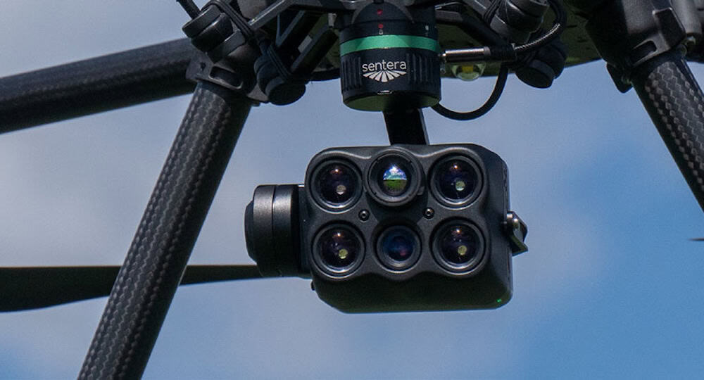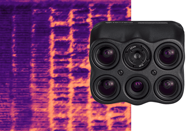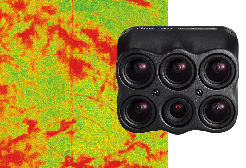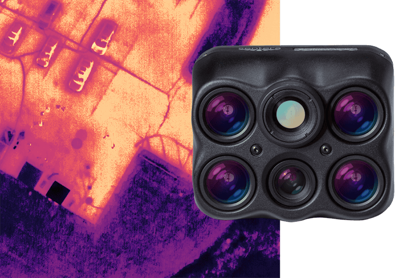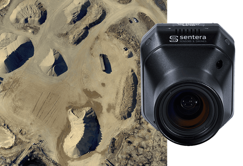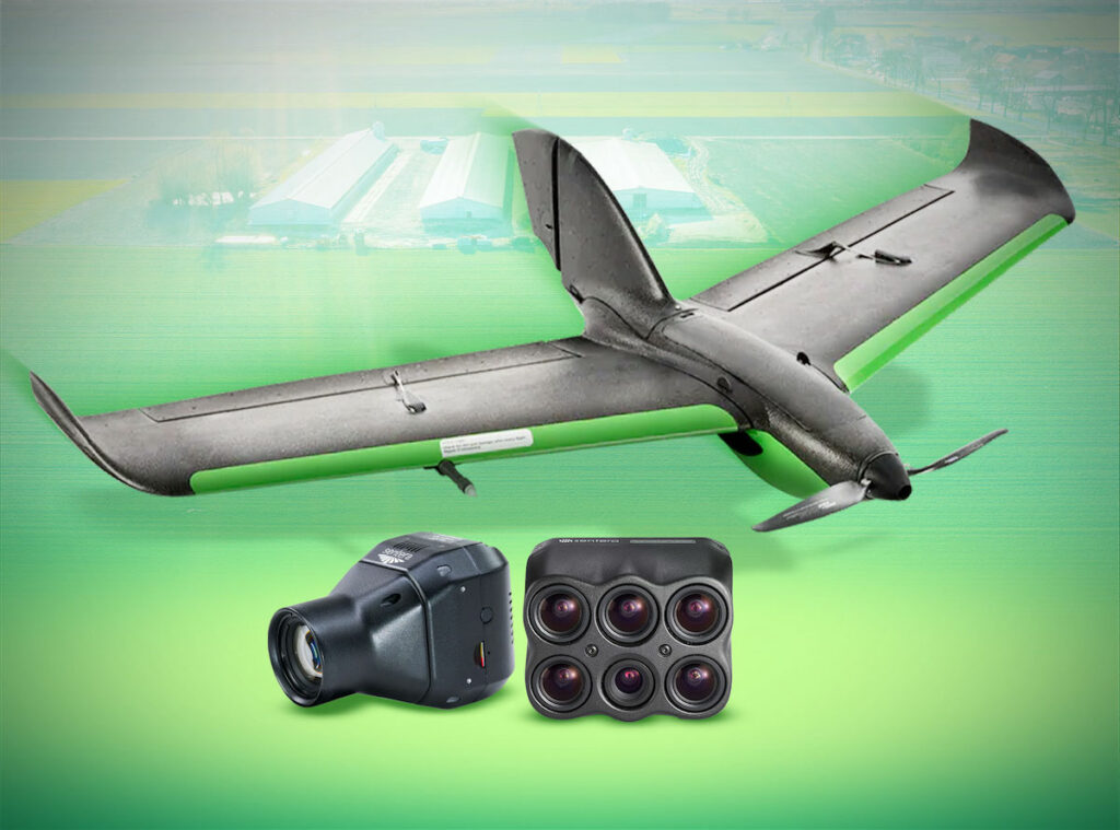
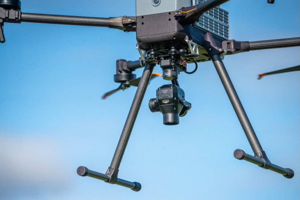
Sentera Sensors & Drones discusses how researchers at North Dakota State University (NDSU) used the Sentera 65R sensor to support weed detection and prescriptive tillage planning in sugar beet fields. Read more >>
The project focused on mapping glyphosate-resistant weeds, including waterhemp and ragweed, in crops planted with 22-inch row spacing, where distinguishing weeds from sugar beet plants requires high-resolution aerial mapping.
The Sentera 65R captured RGB imagery at a Ground Sample Distance (GSD) of 7 mm across the 65-acre project area. Researchers processed the data in PIX4Dfields and PIX4Dmapper, using the Excess Green Index (ExGr) to separate vegetation from soil. They then identified the sugar beet rows and converted them into lines, allowing plant-cover polygons touching a row line to be classified as crops, while polygons not touching a row line were treated as weeds. A grid based on the cultivator width and 10-foot sections was overlaid on the resulting weed layer, with any cell containing at least one weed assigned for tillage.
The assigned cells were transferred through Ag Leader SMS farm management software for export to the tractor’s cab computer, allowing the cultivator to be engaged only in grid cells assigned for tillage. Preliminary results from the 2024 growing season showed that fewer than 10% of the grid cells contained weeds, meaning less than 10% of the field required tillage. The approach can reduce fuel use, field time, and wear on the tractor and cultivator, while helping preserve soil moisture and reduce erosion in dry, sandy soils.
To find out more information, download ‘NDSU’s Use of Sentera 65R for Weed Detection’ here.