WOLF Advanced Technology
HP MJF for Unmanned Systems
Leading Suppliers in Canada

Drone GIS Suppliers in Canada

Discover Canada-based suppliers of Drone GIS

Suppliers: Drone GIS

1 Leading Supplier
Filtered by:
Trimble Applanix
Trimble Applanix
Canada (HQ)

Precision Positioning & Orientation Solutions for Unmanned Applications

Browse suppliers by country
Showcase your capabilities

If you design, build or supply Drone GIS, create a profile to showcase your capabilities and connect with visitors who have an active requirement for your solutions.


Create Supplier Profile

Related Articles

Fundamentals of Drone Mapping & Geospatial Data Production

Blue Nose Aerial Imaging outlines the core principles of drone mapping, explaining how photogrammetry and LiDAR workflows are used to generate accurate geospatial deliverables for analysis and decision-making

Apr 30, 2026
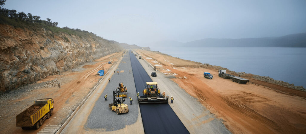
Drone-Based Photogrammetry & Watershed Analysis for Road Design in Indonesia

Blue Marble Geographics details how PT Waskita Karya (Persero) Tbk is using drone-based photogrammetry and watershed analysis within Global Mapper® to support environmentally responsible design and risk mitigation for a road project in Indonesia

Feb 06, 2026
Trimble to Host High-Precision Mapping Workshop & Panel at Geo Week 2026

Industry experts set to provide a practical guide for integrated LiDAR and camera systems across land, air, and marine environments

Jan 26, 2026
SatLab Highlights Integrated Geospatial Solutions at INTERGEO 2025

Satlab Geosolutions showcased its growing portfolio of end-to-end technologies at INTERGEO 2025, including new RTK and Robotic Total Station products, to support professionals in field and office workflows

Oct 16, 2025
Trimble Applanix Introduces Geospatial Post-Processing Software for Mobile Mapping

Trimble Applanix has released POSPac Complete, a geospatial post-processing software that combines Trimble ProPoint®, CenterPoint® RTX, and IN-Fusion+ technologies to deliver high accuracy and streamlined mapping across airborne, land, and marine operations

Oct 08, 2025
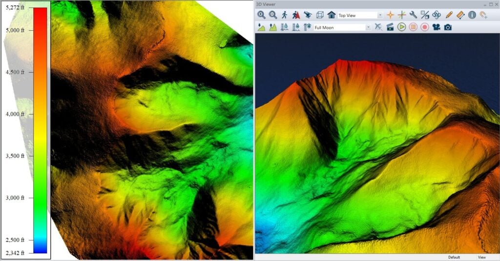
Blue Marble Geographics Demonstrates Global Mapper Contour Capabilities

Blue Marble Geographics’ Global Mapper® provides streamlined contour map generation from grids, point clouds, and LiDAR, with customizable intervals and advanced features for efficient, accurate terrain representation across industries

Sep 18, 2025
Blue Marble Geographics Highlights Fly-Through Visualization Tools in Global Mapper®

Blue Marble Geographics demonstrates how Global Mapper’s 3D Viewer enables users to build and export detailed fly-through simulations for enhanced spatial visualization

Aug 06, 2025
Next Generation DG & Mobile Mapping Power HD Maps for Autonomy

Trimble’s next-gen DG and mobile mapping technologies enhance HD map accuracy and reliability, accelerating safe, efficient deployment of autonomous vehicles across complex environments

Jul 21, 2025
SatLab Showcases Geospatial Technologies at CSPI-EXPO 2025

SatLab attended CSPI-EXPO 2025 in Chiba, Japan from 18-21 June, showcasing its latest innovations across the full spectrum of geospatial solutions

Jul 09, 2025

THE WEEKLY eBRIEF

The latest unmanned systems news, straight to your inbox.

Get our weekly roundup of technology developments, new products and industry news.

By subscribing, you agree to receive the weekly UST eBrief newsletter from EchoBlue Ltd. Unsubscribe at any time using the link in every email. See our Privacy Notice.

Advancing Unmanned Systems Through Strategic Collaboration UST works with major OEMs to foster collaboration and increase engagement with SMEs, to accelerate innovation and drive unmanned systems capabilities forward.