What is a Quadcopter Drone and how does it work?
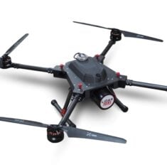
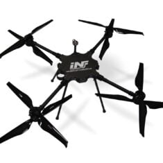
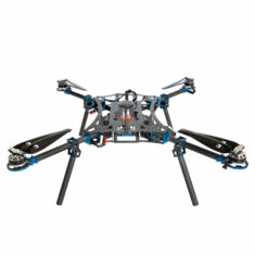
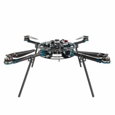
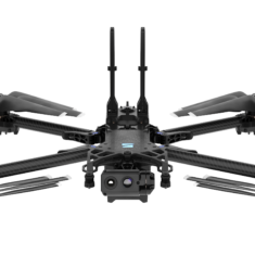
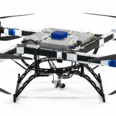
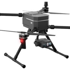
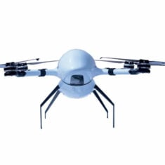
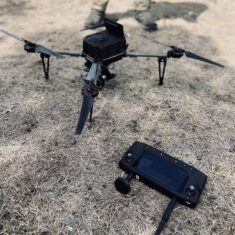
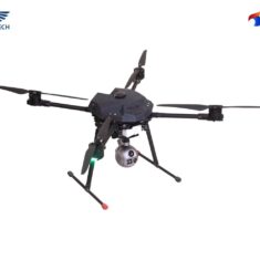
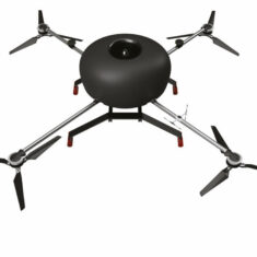
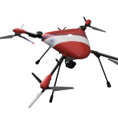
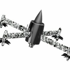
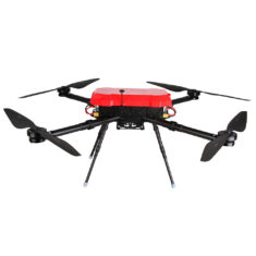
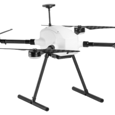
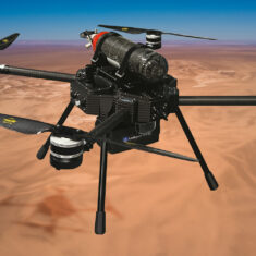
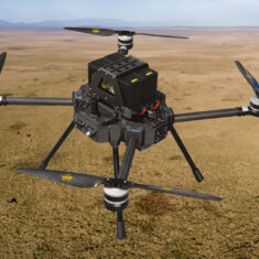
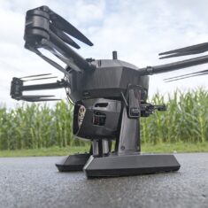
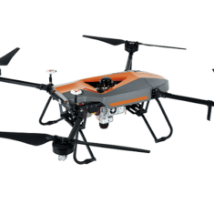
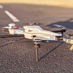
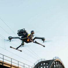
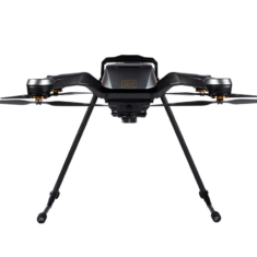
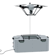
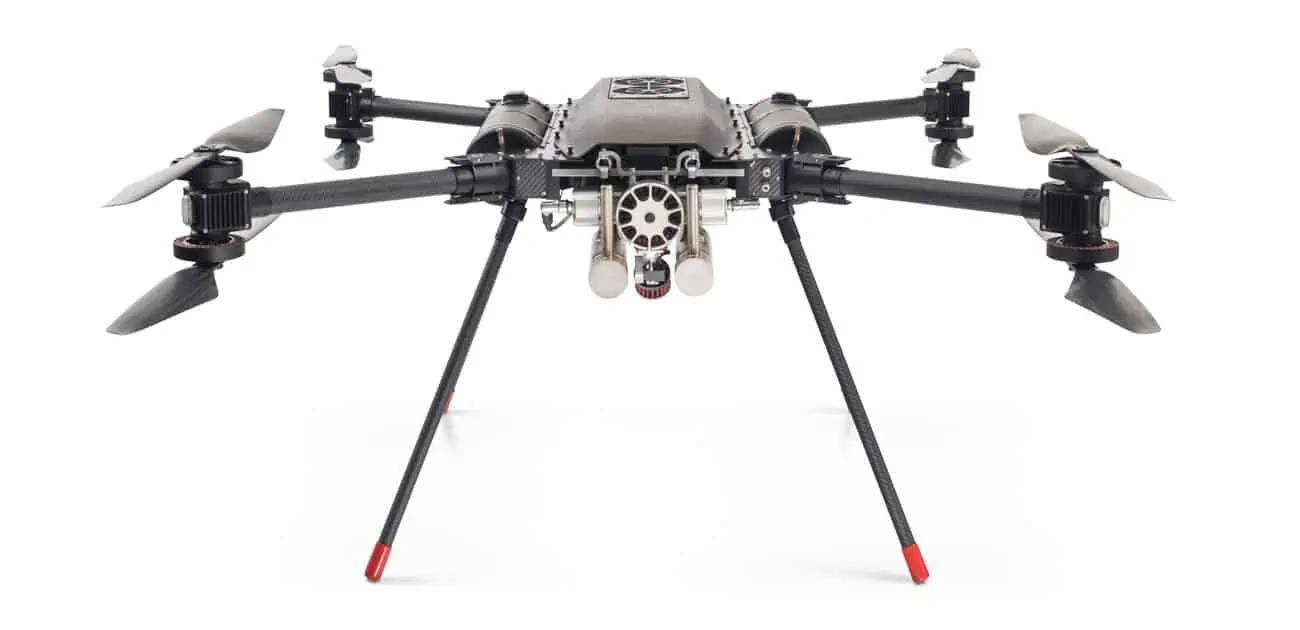
A quadcopter is a multirotor drone with four arms or booms, each with a rotor (hence “quad copter”). Multirotor drones are unmanned aerial vehicles (UAV) with multiple rotors that are used to generate lift to enable the aircraft to fly. The working principle is that one pair of rotors turns clockwise and the other anti-clockwise, and by varying the speeds it is possible to generate thrust as well as turning motions.
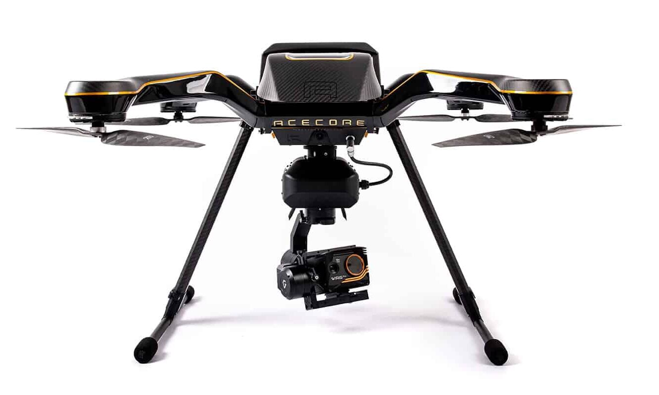
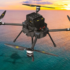
Quadcopters are VTOL drones, meaning they are capable of vertical take-off and landing (“VTOL”). This is ideal for situations where launch space is restricted, for example if launching and landing is required to take place on a vessel at sea. The ability to hover in place gives an advantage over fixed-wing drones and aircraft for small-scale surveillance and reconnaissance.
Many quadcopter UAV are gyro-stabilised to allow them to fly smoothly even in windy conditions. An IMU (inertial measurement unit) detects changes in the yaw, pitch and roll of the drone and sends data to a flight controller, which adjusts the output to the quad rotors to achieve the desired outcome.
Applications
Quadcopters are typically simpler in construction and cheaper and easier to fly than unmanned helicopter drones, making them an ideal choice for certain applications such as surveying and aerial photography. They can also be used for drone deliveries and have already been used to provide medical supplies in both remote and urban areas.
Quadcopter drones are used in a wide range of professional applications, with the drone and payload specifically chosen to suit the application type. Industrial quadcopters are used in applications such as pipeline and infrastructure inspection; agricultural quadcopters can be used for crop monitoring; and survey-grade quadcopters with high-resolution cameras and/or LiDAR technology can be used for mapping, surveillance and surveying applications.
Size and Endurance
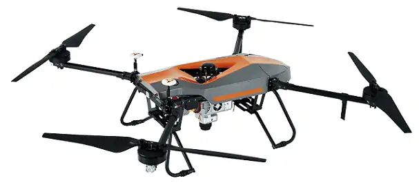
Quadcopter sizes range from mini quadcopters which are not much more than an inch square, to professional quadcopter systems measuring two to three feet in diameter. There tends to be an upper limit on the size of frames as more volume means more weight, which requires more power to lift – there is then a trade-off between battery weight and size versus flight endurance.
The typical flight time of a battery-powered quadcopter UAV is around 30 minutes. New designs have managed to extend this by incorporating battery cells into the majority of the structure. Hydrogen fuel cells, providing a greater energy density than batteries, can also be affixed to larger quadcopters to extend flight endurance.
Cameras and Aerial Imaging
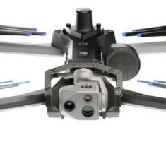
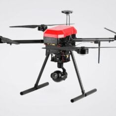
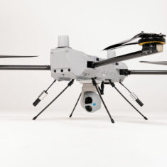
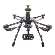
Aerial imaging is the most popular application for quadcopter UAV, and many quadcopter manufacturers offer packages pairing multirotors with a specific camera payloads. These cameras may be integrated into multi-axis gimbals that allow the camera to be moved during flight and also reduce the effects of vibration.
Video and still image camera payloads can offer powerful optical and digital zoom capabilities to professional quadcopter drones, with 4K video and still image resolutions in the tens of megapixels, making them ideal for tactical and professional applications such as surveillance and industrial inspection. Some also offer FPV (First Person View) capabilities, in which low-latency video is fed back to the pilot via 4G/LTE to a screen or headset. FPV quadcopters are often used in the sport of drone racing.
Many imaging systems feature a range of intelligent flight modes to enhance functionality, such as following the operator, active target tracking, and autonomous following of waypoints.


