




HP MJF for Unmanned Systems
WOLF Advanced Technology
Leading Suppliers in Austria

Marine and Bathymetric LiDAR Suppliers in Austria

Category Presented by YELLOWSCAN

Discover Austria-based suppliers of Marine and Bathymetric LiDAR

Suppliers: Marine and Bathymetric LiDAR

1 Leading Supplier
Filtered by:
RIEGL
RIEGL
Austria (HQ)

Drone LiDAR Sensors & Laser Scanners for Aerial Surveying, Mapping & Bathymetry

Browse suppliers by country
Showcase your capabilities

If you design, build or supply Marine and Bathymetric LiDAR, create a profile to showcase your capabilities and connect with visitors who have an active requirement for your solutions.
Create Supplier Profile

Products

2 Cutting-edge Solutions
Add your solutions
<i>RIEGL</i> VUX-820-G
RIEGL VUX-820-G

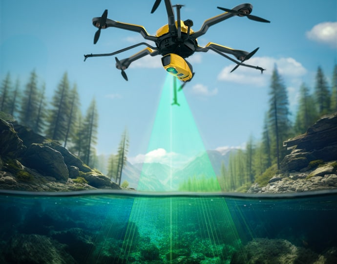
Topo-bathymetric airborne LiDAR system for coastal & river mapping

Topo-bathymetric airborne LiDAR system for coastal & river mapping
...820-G airborne LiDAR System is a compact 5.7 kg unit designed for UAV-based topo-bathymetric mapping... ...ial navigation system, the all-in package also includes RIEGL’s proprietary software licenses for...
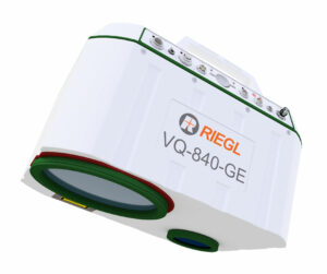
<i>RIEGL</i> VQ-840-GE
RIEGL VQ-840-GE

Fully integrated laser scanner for combined topographic & bathymetric survey

Fully integrated laser scanner for combined topographic & bathymetric survey
...opographic and bathymetric surveying, and can penetrate up to 2 Secchi depths at an altitude of 75...

Related Articles

Topo-Bathymetric LiDAR Deployed to Advance Sea Farm & Algae Monitoring

A European research initiative is exploring YellowScan's topo-bathymetric LiDAR to monitor sea farms and algae sites, creating comprehensive digital twins above and below the water surface to support sustainable aquaculture operations

Nov 06, 2026
YellowScan: Bringing a Community Together

YellowScan recently hosted its sixth LiDAR Convention in Aix-en-Provence, bringing together a global audience of surveyors, engineers, researchers, drone manufacturers, and industry partners

Apr 30, 2026
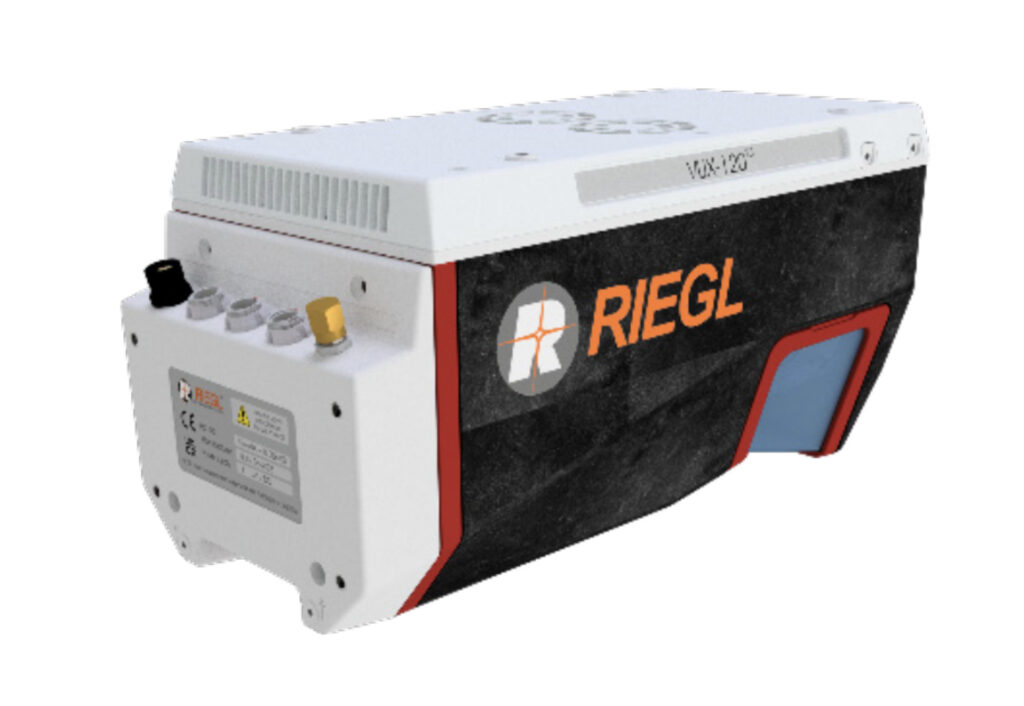
RIEGL LiDAR Systems Enable Rapid Dual-Sensor Mapping of Austria’s Piesting River

A helicopter-based survey featuring RIEGL VUX-120 and VQ-840-G sensors delivers a seamless topo-bathymetric model for flood protection and hazard planning

Mar 31, 2026
Mapping Whitewater Rivers with Bathymetric LiDAR

Riegl demonstrates how advanced bathymetric LiDAR waveform processing enables accurate river bed mapping in turbulent whitewater mountain river environments

Feb 04, 2026
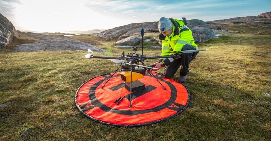
Acecore Integrates Topo-Bathymetric LiDAR Sensor on Noa Hexacopter

Acecore Technologies has integrated RIEGL’s VUX-820-G topo-bathymetric LiDAR system with its Noa hexacopter, with the sensor featuring integrated RGB imaging and RiLOC-F navigation to support survey, inspection, and mapping applications

Dec 15, 2025
YellowScan Navigator Bathymetric LiDAR System Showcased at French Manufacturing Exhibition

YellowScan demonstrated its Navigator Bathymetric LiDAR system at the 5th Grande Exposition du Fabriqué en France, showcasing French-made drone technology for coastal mapping developed with local partners and recognized by French authorities for innovation and industrial excellence

Dec 05, 2025
RIEGL Showcases Latest UAV LiDAR Solutions at INTERGEO 2025

RIEGL unveiled advanced UAV LiDAR solutions at INTERGEO 2025, highlighting precision, compact design, and integrated systems for bathymetry, mapping, and mobile surveying

Oct 09, 2025
3D at Depth Rebrands As Kraken Robotics

Following its acquisition by Kraken earlier this year, 3D at Depth's name and brand have been fully integrated to offer a broader range of subsea technology solutions to clients

Oct 07, 2025
YellowScan Navigator Demonstrates Coastal Reef Mapping Capabilities

YellowScan, with Australian distributor Sphere Drones, demonstrated the YellowScan Navigator in real-world coastal conditions, providing rapid, high-resolution mapping of artificial reefs with efficient deployment and safe, practical operation

Sep 23, 2025

THE WEEKLY eBRIEF

The latest unmanned systems news, straight to your inbox.

Get our weekly roundup of technology developments, new products and industry news.

By subscribing, you agree to receive the weekly UST eBrief newsletter from EchoBlue Ltd. Unsubscribe at any time using the link in every email. See our Privacy Notice.

Advancing Unmanned Systems Through Strategic Collaboration UST works with major OEMs to foster collaboration and increase engagement with SMEs, to accelerate innovation and drive unmanned systems capabilities forward.