



HP | MJF for Unmanned Systems
WOLF Advanced Technology
Leading Suppliers in China

Simultaneous Localization & Mapping (SLAM) Suppliers in China

Discover China-based suppliers of Simultaneous Localization & Mapping (SLAM)

Suppliers of SLAM Technology

2 Leading Suppliers
Grid List
Filtered by:
SKYLANDX
SKYLANDX
China

High-Precision LiDAR & SLAM Mapping Solutions for Drones & Autonomous Systems

CHC Navigation
CHC Navigation
China (9 locations)

GNSS Positioning & Navigation Systems, Mobile Mapping UAV LiDAR & Unmanned Surface Vehicles

Browse suppliers by country
Showcase your capabilities

If you design, build or supply Simultaneous Localization & Mapping (SLAM), create a profile to showcase your capabilities and connect with visitors who have an active requirement for your solutions.
Create Supplier Profile

SLAM Technology for Drones & Robotics

6 Cutting-edge Solutions
Add your solutions
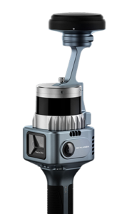
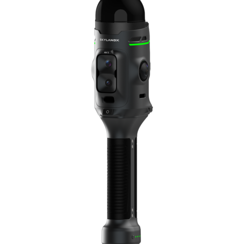
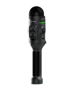
MetaCam Air 3
MetaCam Air 3

Next-generation handheld reality-capture system built around a self-developed, survey-grade LiDAR

Next-generation handheld reality-capture system built around a self-developed, survey-grade LiDAR
MetaCam Air 3 is SKYLANDX's next-generation handheld reality-capture system, built around an in-hous...
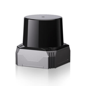
C01 SLAM LiDAR
C01 SLAM LiDAR

High-precision LiDAR for robotic navigation & spatial data collection

High-precision LiDAR for robotic navigation & spatial data collection
...high-precision localization, mapping, measurement and obstacle avoidance. It combines three-axis...
MetaCam Lite
MetaCam Lite

Lightweight handheld LiDAR scanner for short- and medium-range measurement

Lightweight handheld LiDAR scanner for short- and medium-range measurement
MetaCam Lite is a handheld professional-grade scanning unit developed for accurate short- and medium...
MetaCam Pro
MetaCam Pro

Survey-grade scanning for large and complex environments

Survey-grade scanning for large and complex environments
MetaCam Pro is a survey-grade scanning solution developed for high-density capture across large and ...
RS10
RS10

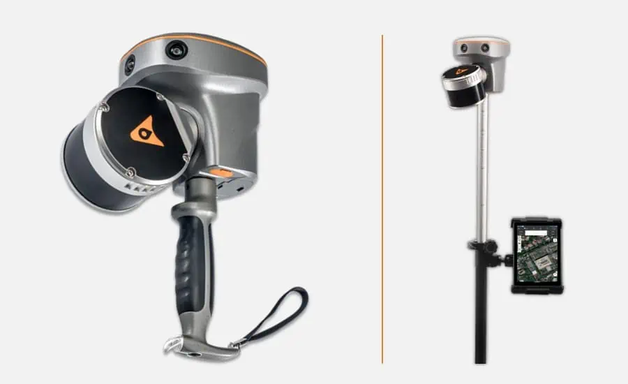
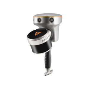
Handheld Slam 3D Laser Scanner + GNSS RTK System

Handheld Slam 3D Laser Scanner + GNSS RTK System
The RS10 is a revolutionary solution for geospatial surveying, which integrates GNSS RTK, laser scan...
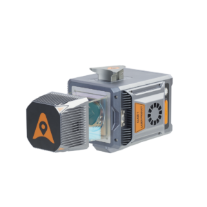
AlphaUni 20
AlphaUni 20

Multi-platform LiDAR solution for mapping & geospatial applications

Multi-platform LiDAR solution for mapping & geospatial applications
... ground mobile mapping applications. Providing an ideal balance of point cloud density, accuracy,...

Related Articles

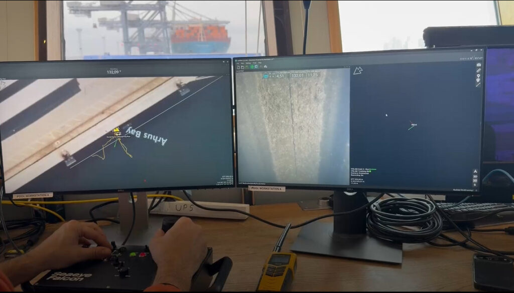
Voyis & EIVA Launch Geo-Located Camera Mapping for Subsea VSLAM

A major update to the VSLAM solution enables real-time 3D visual reconstructions to be natively aligned to global geodetic frames for the first time

Dec 19, 2025
CHCNAV Releases the RS10 SLAM Laser Scanner

CHC Navigation unveils the RS10, an innovative handheld SLAM laser scanner with an integrated RTK GNSS receiver

Apr 05, 2024
Next-Gen RESEPI Scanner Powered by 3D LiDAR SLAM Engine for Digitization

The next-gen of Inertial Labs' RESEPI, with Kudan's SLAM technology, is set to disrupt industries such as urban planning and infrastructure monitoring, by enabling more accessible collection, processing, and visualization of any target environment

Jan 26, 2024

THE WEEKLY eBRIEF

The latest unmanned systems news, straight to your inbox.

Get our weekly roundup of technology developments, new products and industry news.

By subscribing, you agree to receive the weekly UST eBrief newsletter from EchoBlue Ltd. Unsubscribe at any time using the link in every email. See our Privacy Notice.

Advancing Unmanned Systems Through Strategic Collaboration UST works with major OEMs to foster collaboration and increase engagement with SMEs, to accelerate innovation and drive unmanned systems capabilities forward.