WOLF Advanced Technology
HP | MJF for Unmanned Systems
Leading Suppliers in Brazil

Data Processing Suppliers in Brazil

Discover Brazil-based suppliers of Data Processing

Suppliers: Data Processing

2 Leading Suppliers
Grid List
Filtered by:
Exail
Exail
Brazil (11 locations)

Cutting-Edge Acoustic Positioning & Subsea Imagery Solutions for Unmanned & Robotic Systems

CHC Navigation
CHC Navigation
Brazil (9 locations)

GNSS Positioning & Navigation Systems, Mobile Mapping UAV LiDAR & Unmanned Surface Vehicles

Browse suppliers by country
Showcase your capabilities

If you design, build or supply Data Processing, create a profile to showcase your capabilities and connect with visitors who have an active requirement for your solutions.


Create Supplier Profile

Products

5 Cutting-edge Solutions
Add your solutions
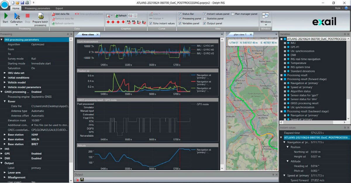
Delph INS Software
Delph INS Software

Post-processing software for subsea INS

Post-processing software for subsea INS
... advanced post-processing software suite from Exail designed to enhance trajectory computation for... ...ports flexible data import and export formats, allowing seamless integration into existing workflows...
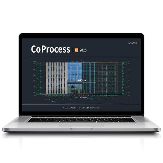
CoProcess 2025
CoProcess 2025

All-in-one CAD platform for point cloud processing

All-in-one CAD platform for point cloud processing
...photogrammetry data workflows. Built on CHCNAV’s advanced software framework, it enables engineers...
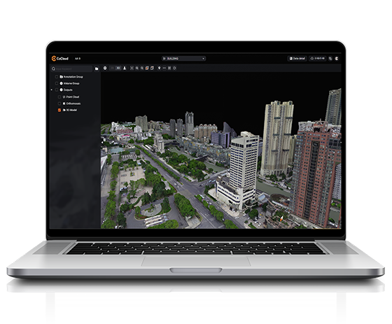
CHCNAV CoCloud
CHCNAV CoCloud

Scalable platform for real-time 3D geospatial data processing and collaboration

Scalable platform for real-time 3D geospatial data processing and collaboration
...loud-native 3D data processing and management software engineered for survey-grade applications...
CoProcess
CoProcess

Advanced post-processing software for massive point cloud datasets

Advanced post-processing software for massive point cloud datasets
...d for the post-processing of massive point cloud datasets, transforming raw data captured by UAVs...
CoPre
CoPre

Quick and efficient processing of UAV & mobile mapping data

Quick and efficient processing of UAV & mobile mapping data
... user-friendly processing of geospatial data gathered by UAVs and mobile mapping platforms.... ...ate trajectory processing by a proprietary algorithm, point cloud and image georeferencing, point...

Related Articles

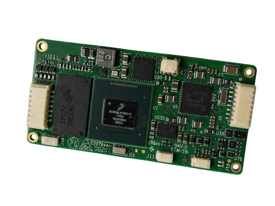
Maris-Tech Receives Pilot Order for UAV OEM Module in U.S.

Maris-Tech has secured a US pilot order for its UAV OEM module, which will be evaluated for integration into next-generation unmanned platforms to enable onboard video processing and edge-based intelligence

May 06, 2026
Scaling Compute Performance in Deployed Mission Systems with XMC Modules

EIZO Rugged Solutions explains how XMC modules enable scalable compute expansion in deployed mission systems, supporting GPU-accelerated AI processing without requiring changes to existing system architectures

Mar 30, 2026
Air Data & Flow Measurement Solutions for UAVs & Autonomous Flight

Aeroprobe's cutting-edge technologies provide highly accurate measurement of critical flight parameters and are engineered specifically for UAVs

Mar 23, 2026
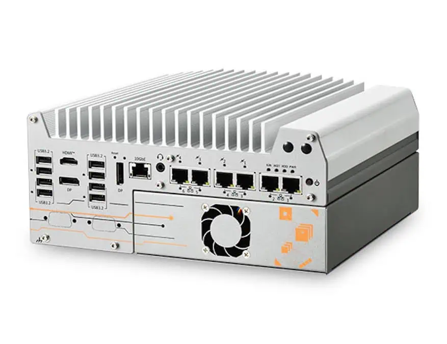
Neousys Releases Nuvo-11160GC Rugged Edge AI Computing Platform

Neousys Technology has launched the Nuvo-11160GC rugged edge AI computing platform, featuring Intel® Core™ Ultra 200S processors and NVIDIA® RTX GPU support for real-time AI inference and data processing in industrial and robotics environments

Mar 17, 2026
Sunhillo to Provide Surveillance Data Fusion for MICH-AIR BVLOS System

Sunhillo Corporation has joined ResilienX on the MICH-AIR BVLOS System program, delivering cloud-based SureLine surveillance fusion of radar and ADS-B for crewed and autonomous aircraft operations

Feb 13, 2026
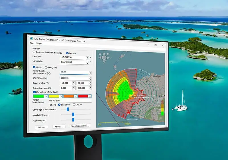
Radar Modeling Software Optimizes Pacific Weather Network Planning & Infrastructure

New Zealand’s MetService utilizes software from Cambridge Pixel for high-resolution terrain analysis to strategize critical weather radar placement across remote Pacific island nations

Dec 08, 2025
Sunhillo Surveillance Products Achieve FIPS 140-3 Validation For Enhanced Security

Sunhillo has achieved FIPS 140-3 validation for its SureLine and SureSentry product families by integrating its certified cryptographic module, enhancing protection against cybersecurity threats across its surveillance and data-diode solutions

Nov 24, 2025
uAvionix Partnership Brings Real-Time ADS-B Data to UAS Traffic Management

uAvionix is collaborating with OneSky to incorporate its FlightLine™ ADS-B data into OneSky’s UAS Traffic Management platform, providing real-time situational awareness to support safer and scalable drone operations

Nov 13, 2025
Cambridge Pixel Fusion & Tracking Software Supports BAE Systems Aircraft Testing

Cambridge Pixel has collaborated with BAE Systems to enhance live aircraft trials, leveraging its SPx Fusion Server and ASD-100 air situation display software for robust fallback tracking based on transponder data

Sep 18, 2025

THE WEEKLY eBRIEF

The latest unmanned systems news, straight to your inbox.

Get our weekly roundup of technology developments, new products and industry news.

By subscribing, you agree to receive the weekly UST eBrief newsletter from EchoBlue Ltd. Unsubscribe at any time using the link in every email. See our Privacy Notice.

Advancing Unmanned Systems Through Strategic Collaboration UST works with major OEMs to foster collaboration and increase engagement with SMEs, to accelerate innovation and drive unmanned systems capabilities forward.