Blue Marble Geographics is a leading developer of state-of-the-art software solutions for geospatial professionals. Utilized by leading organizations and government agencies around the world, our products are ideal for comprehensive editing and processing of GIS data as well as photogrammetric and LiDAR point cloud data captured by drones and UAVs (unmanned aerial vehicles).
Global Mapper
Geospatial data analysis and GIS mapping software
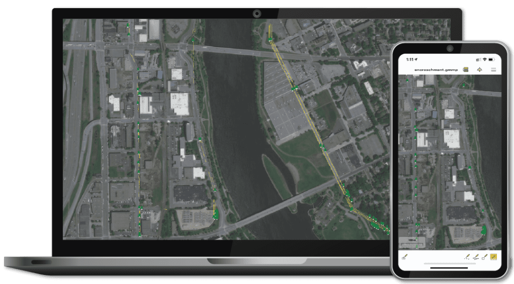
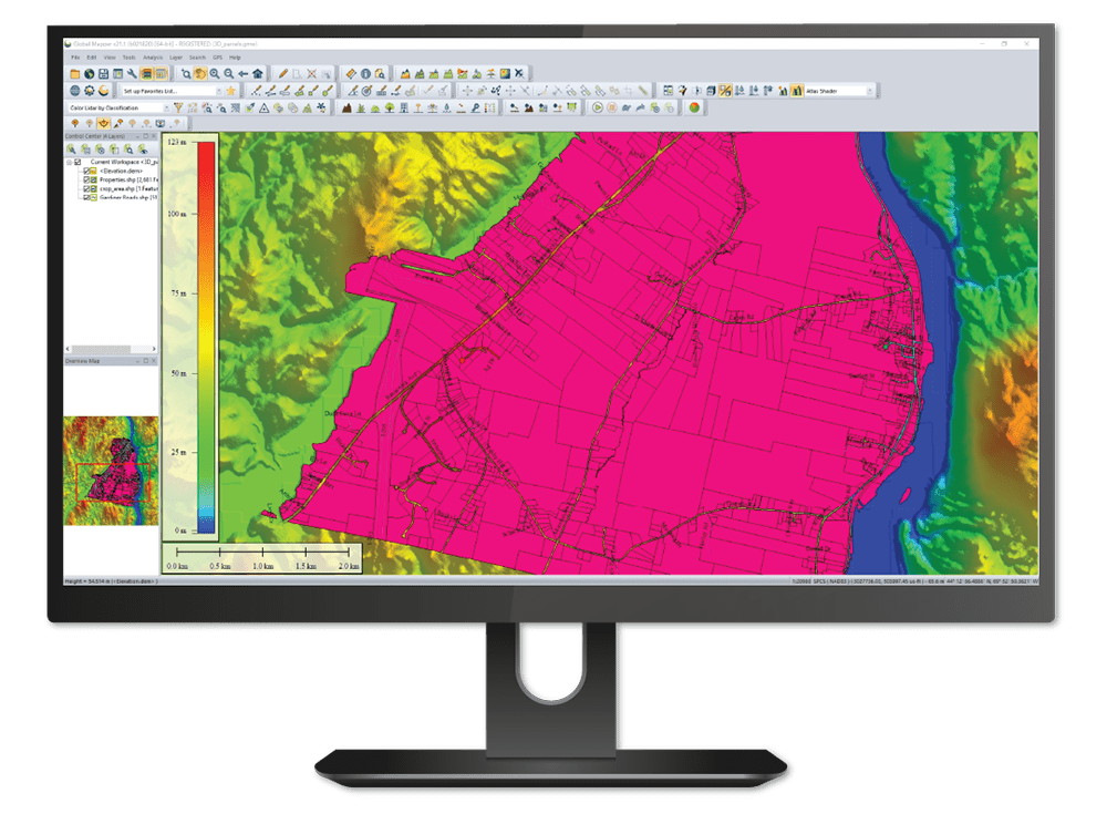
Global Mapper is a state-of-the-art GIS software package that provides comprehensive geospatial data analysis and processing capabilities for novice and experienced geospatial professionals alike. With a highly intuitive user interface and powerful tools, it delivers efficient data processing and management and accurate map creation and is ideal for organizations of any size.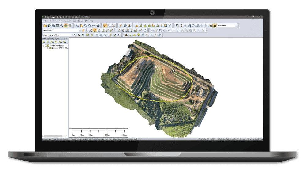
Global Mapper supports over 300 raster, vector, and elevation data types, including common file formats as well as proprietary types, allowing users to get to work right out of the box. The built-in online data function includes direct links to a variety of data services, including one-meter aerial imagery for the U.S., worldwide elevation data, topographic maps, Landsat satellite imagery, and more.
Point Cloud Processing
The software is also designed for easy visualizing, editing, and analysis of LiDAR or point cloud data of any format. Enhanced rendering and processing speeds allow users to utilize data from point clouds of almost any size efficiently and effectively. Global Mapper provides access to point cloud file attributes, providing a critical snapshot of essential information for your data processing workflow.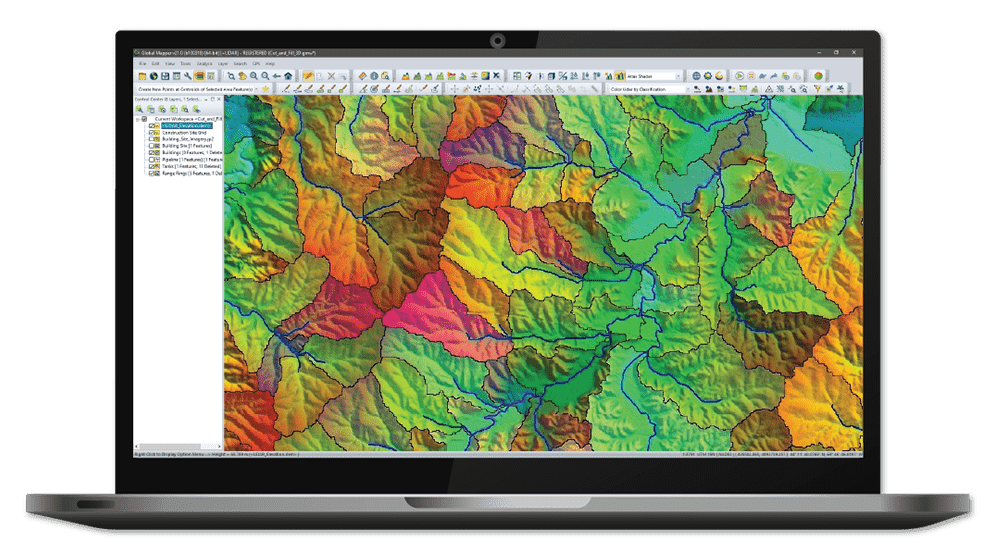
Other advanced features of Global Mapper include:
- Powerful terrain analysis tools for processing and modelling elevation data
- Support for recording HD 3D fly-through videos for powerful visualization of 3D projects
- Reading and writing data from common spatial databases including Esri, MSSQL, MySQL, Oracle, PostGIS/PostgreSQL and SpatiaLite/SQLite
- Geocoding function that allows real-world coordinates to be assigned to an imported database of addresses
- Raster Calculator for multi-band imagery such as NDVI and NDWI
- Objective Terrain Format (OTF) Reader Module for military mapping
Global Mapper Pro
LiDAR and photogrammetric processing and editing
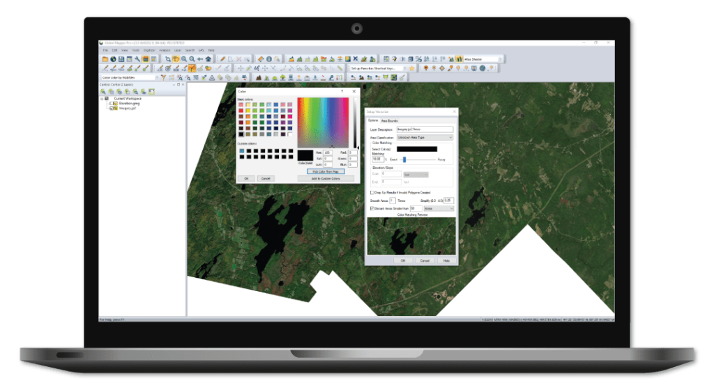
Global Mapper Pro builds on the base functionality of Global Mapper with a variety of powerful professional tools for editing and processing LiDAR and photogrammetric point cloud data captured by drones. Incorporating all of the point cloud processing functionality available in Global Mapper’s Lidar Module, Global Mapper Pro adds an extensive array of features that perfectly complement and expand the existing software capabilities.
New features available in Global Mapper Pro include:
- Terrain painting
- Advanced querying, editing, segmenting, and filtering of LiDAR and 3D point clouds
- Automatic classification of point cloud data including ground, vegetation, buildings, power lines, and poles
- Vector feature extraction from classified point cloud data
- LiDAR noise identification and removal
- Automatic alignment of overlapping point clouds
- Visual data analysis of point cloud data, including by local density, height above ground, intensity, and classification
- Pixels to Points – UAV imagery processing for creation of 3D point clouds, orthoimages, and 3D models
- Support for RTK devices and display of satellite constellation
- Support for Python scripting
Geographic Calculator
Geodetic software for UAV surveying data
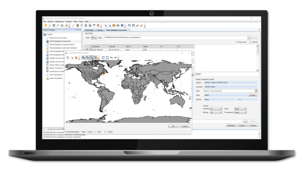
Geographic Calculator is a powerful geodetic software package that provides accurate coordinate conversion, datum transformation, and file translation. Incorporating the largest geodetic parameter database available anywhere, it is an essential tool for UAV surveying as well as for seismic data management and energy exploration.
The intuitive Interactive Conversion feature allows users to select source and destination coordinate systems, enter the coordinates, choose the datum transformation and get results with the click of a button.
Applications
Architecture, Engineering & Construction
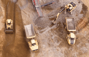 Global Mapper helps engineers and surveyors to pre-plan earthwork projects and to maintain and extend infrastructure. The powerful GIS mapping software provides a variety of visualization tools for planning elements such as ramps for highways, ditches for stormwater runoff, and more.
 Military & Defense
Global Mapper provides the ability to easily view, edit and update mission-critical maps for situational awareness and navigation, keeping information relevant as situations, assets, and landscapes change.
Geospatial data analysis and 3D terrain modelling are also essential for developing accurate battlefield simulations that can be used to to train and equip personnel in unfamiliar territory.


