NOAA has officially integrated data from Black Swift Technologies’ S0 Unmanned Aircraft System (UAS) into its operational Hurricane Analysis and Forecast System (HAFS), supporting hurricane and tropical storm forecasting.

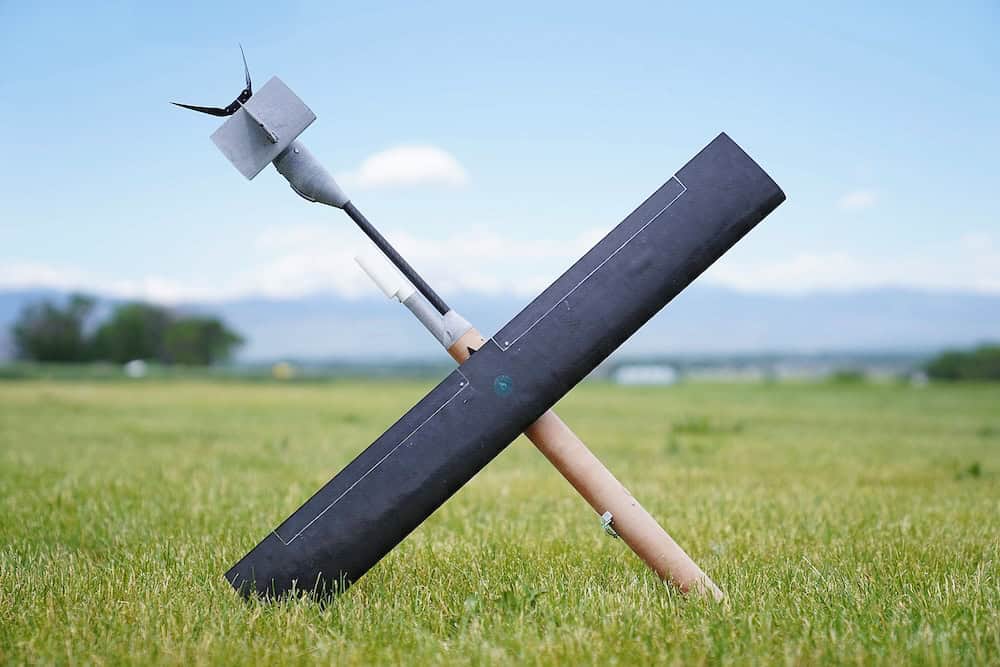
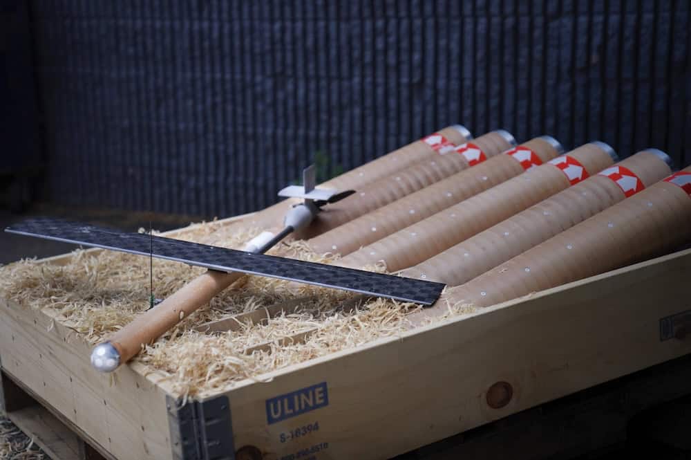
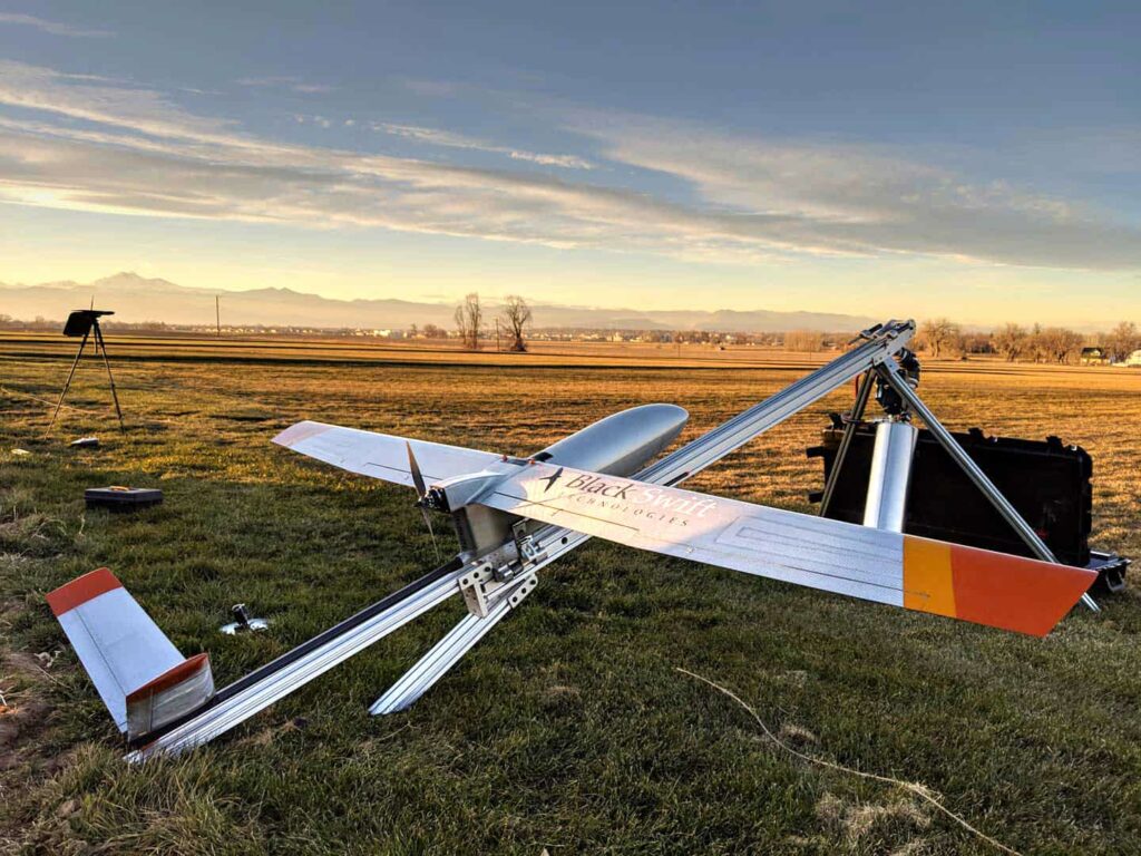
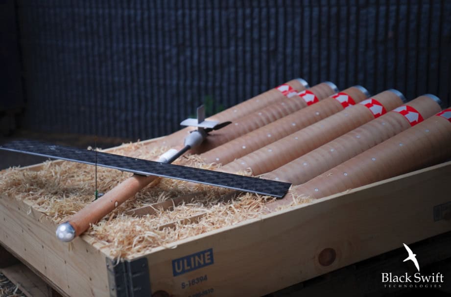
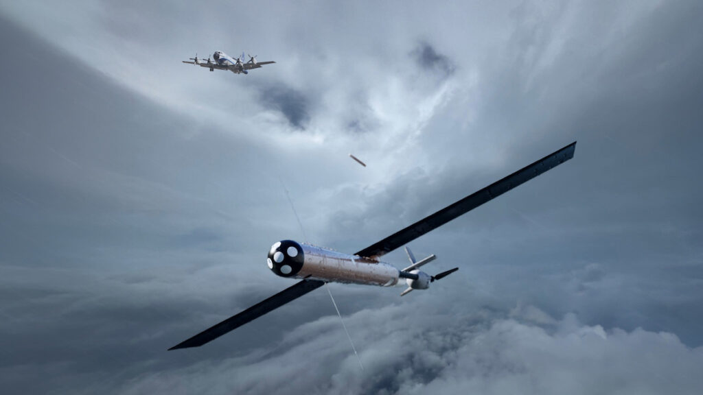
Designed for operation within the marine boundary layer, the S0 UAS collects atmospheric and ocean-surface data from regions of storms that are difficult to access using crewed aircraft or satellites. Operating autonomously at altitudes as low as 20 to 30 feet above the ocean surface, the platform measures pressure, temperature, humidity, three-dimensional wind vectors, and sea surface temperatures.
According to Black Swift Technologies, integration of S0 UAS data into HAFS resulted in up to a 25% improvement in tropical storm forecasting and a 10% improvement in hurricane forecast accuracy.
The results were evaluated by NOAA’s Atlantic Oceanographic and Meteorological Laboratory (AOML) and the Cooperative Institute for Marine and Atmospheric Studies (CIMAS), which assessed the impact of S0 UAS deployments within hurricane eyewalls. Researchers incorporated measurements collected using the aircraft’s Multi-Hole Pressure Probe (MHPP) into retrospective HAFS analyses.
During the 2025 hurricane season, the S0 UAS recorded approximately two hours of flight time inside a hurricane and achieved a communications range of 247 miles. Black Swift Technologies claimed that the platform also became the first small Unmanned Aircraft System (sUAS) to capture video from inside a hurricane.

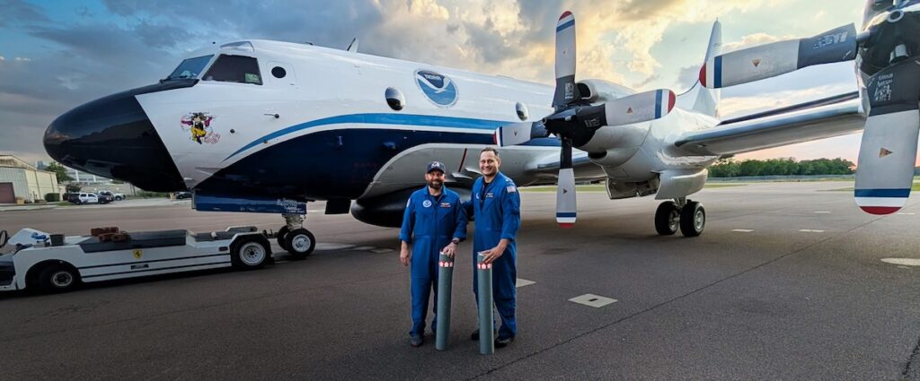
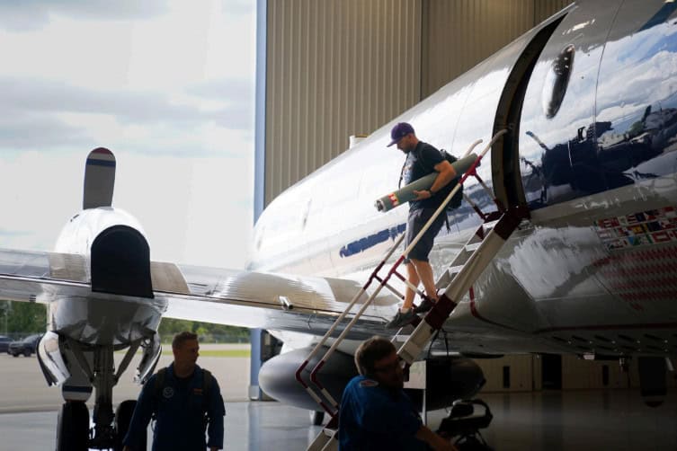
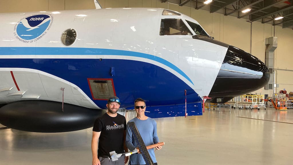
In early 2026, the company demonstrated multi-drone operations alongside NOAA aboard a P-3 Orion Hurricane Hunter aircraft, successfully launching multiple S0 UAS platforms while controlling several vehicles simultaneously from a single onboard station.
Black Swift Technologies stated that the capability supports longer-duration autonomous operations within storms and enables simultaneous data collection across multiple regions of a hurricane.