Black Swift Technologies (BST) has concluded the Costa Rica Airborne Research on Forest Ecosystem Response to Volcanic Gas Emissions (CRATER) mission, leveraging its uncrewed aerial systems (UASs) to collect high-resolution atmospheric and ecological data.
NASA Ames Research Center led CRATER in collaboration with BST, and the Universidad de Costa Rica (UCR). This campaign intended to advance understanding of how persistent volcanic gas emissions, such as elevated atmospheric CO₂, sulfur dioxide, and hydrogen sulfide, influence tropical ecosystems, altering plant health, soil chemistry, and atmospheric dynamics.
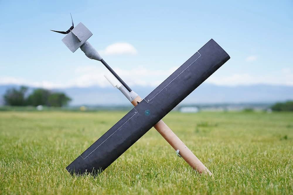
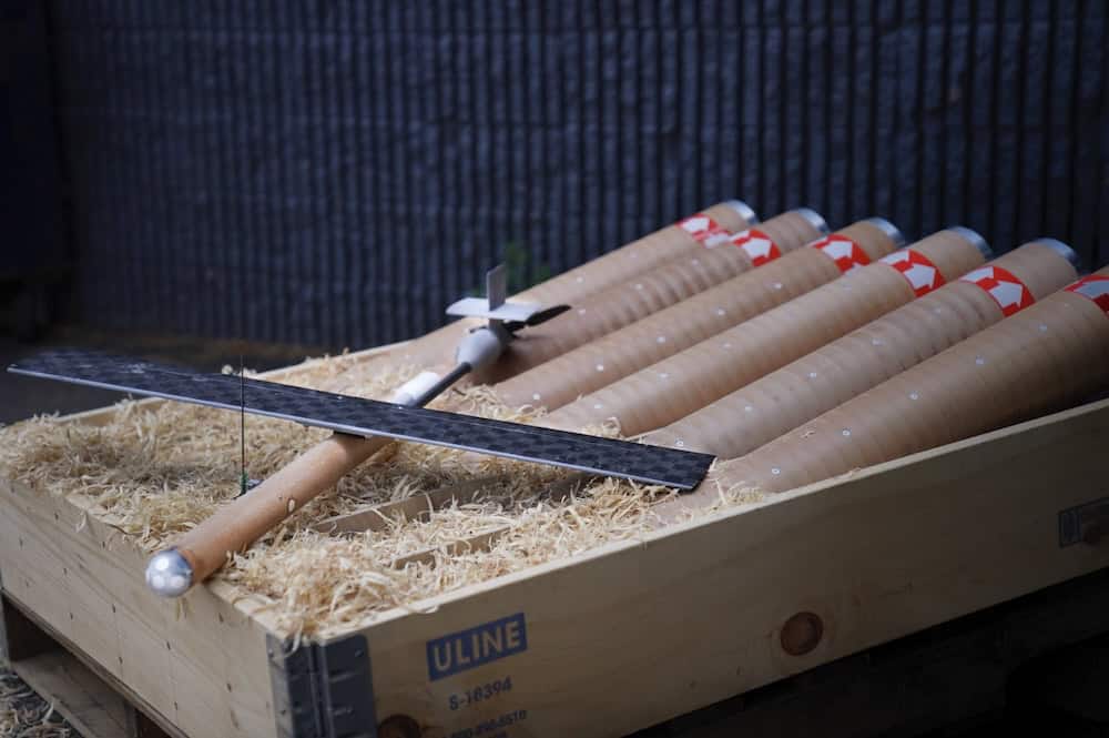
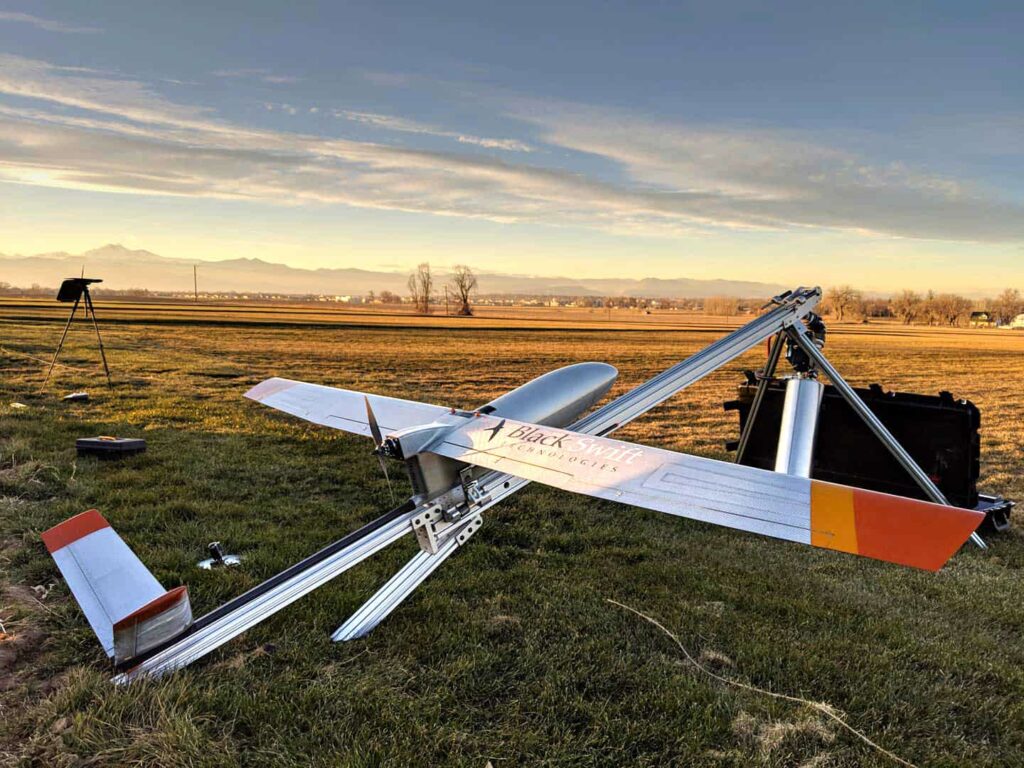
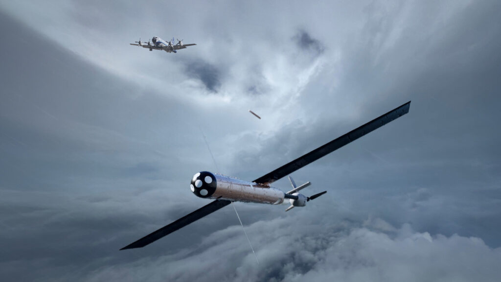
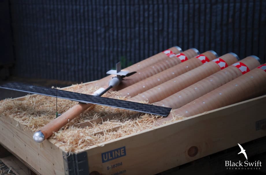
Black Swift S2 UAS, a fixed-wing, electric-powered aircraft engineered by BST for environmental monitoring in extreme conditions, was central to CRATER. The aircraft has innovative trace gas sensors, including a LICOR 850 analyzer for CO₂ and H₂O, and photogrammetric imaging systems.
CRATER aimed to quantify these gas emissions and assess spatial and temporal variability through collecting airborne measurements across different terrain features and ecological zones near active volcanic sites.
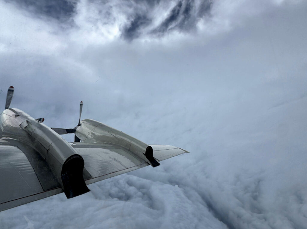
The S2’s portability and portable catapult launch system enabled operational flexibility in challenging, remote terrain, allowing launches from diverse sites, with its terrain-following autopilot allowing for high-resolution sampling of volcanic plumes and surrounding vegetation zones.
The Black Swift S2 collected imagery for detailed 3D terrain models, orthomosaics, and plant health maps and in-situ CO₂ concentration profiles, revealing emission gradients consistent with known volcanic vent locations. Analysis of the trace gas payload data specifically showed promising stability and reliability, capturing scientifically meaningful CO₂ variations.
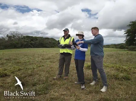
BST itself played a crucial role in capacity building. The company implemented a comprehensive multi-day training program, so NASA Ames and partnering institutions could become proficient in managing all aspects of UAS mission planning, execution, and post-flight data processing. The approach was overseen by experienced BST personnel, which guaranteed operational knowledge was transferred, fostering long-term independent deployment capabilities for future field campaigns.
A Black Swift Technologies Representative stated, “The CRATER mission has delivered unprecedented data and demonstrated the unparalleled capabilities of our UAS platforms in one of the most demanding environmental monitoring scenarios.
“Our advanced UAS technology, coupled with the innovative ground station handoff system and sophisticated mission planning tools, allowed us to overcome significant operational challenges, contributing profoundly to Earth system science and setting new benchmarks for autonomous environmental research.”
By May 18, 2025, 5 flights were successfully completed, encompassing full photogrammetric mapping and trace gas data collection missions.
A customized mission planning software suite, part of the SwiftCore flight management system, was used during CRATER’s planning. It integrated digital elevation models (DEMs) for terrain-following profiles, calculated obstacle avoidance, performed line-of-sight (LoS) communication checks, and predicted battery endurance. The software was also used daily for real-time visualization and collaborative adjustment of flight routes based on weather and terrain, enabling safe and scientifically robust operations.
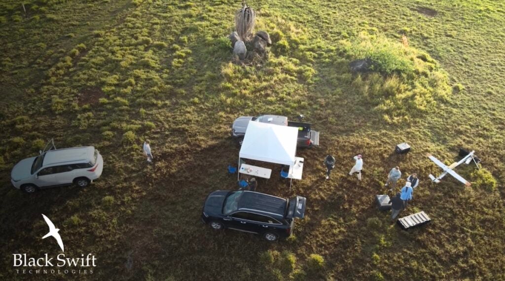
The CRATER field campaign itself involved careful planning and execution, with extensive pre-flight preparations, airworthiness documentation, and flight plans in compliance with NASA NPR 7900 and SINAC research permit guidelines.
The insights of the CRATER mission will further UAS-based techniques for monitoring geophysical processes and ecosystems, inform future rapid-deployment protocols and improve autonomous operations in complex terrain. BST’s contribution will support long-term goals in global carbon cycle research, volcanic hazard monitoring, and biosphere-atmosphere modeling, giving many contributions to Earth system science.