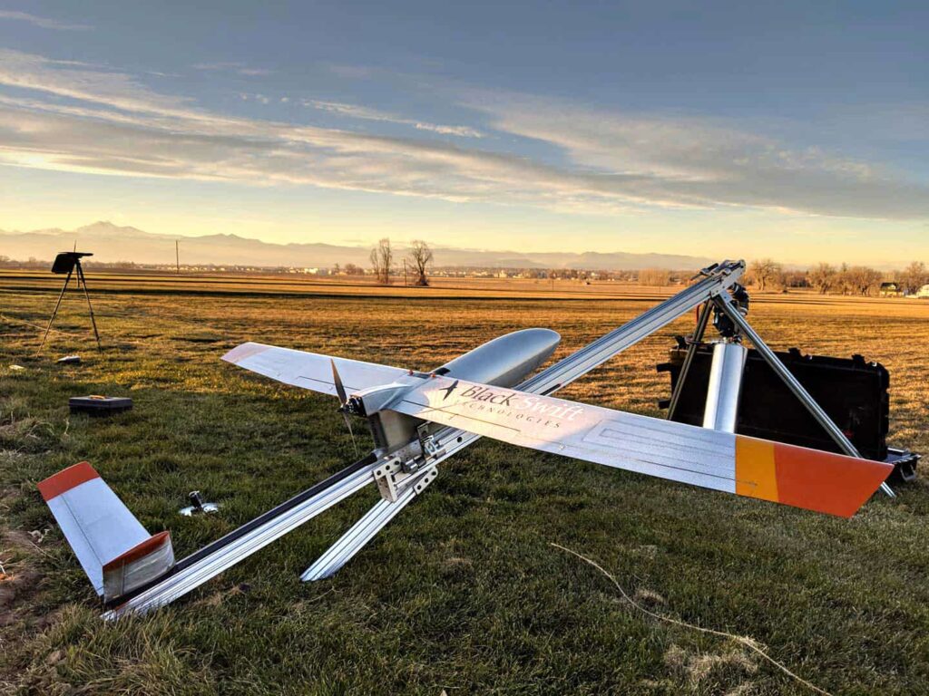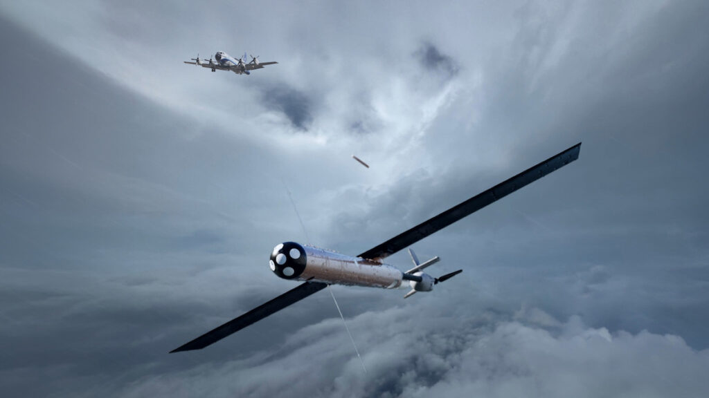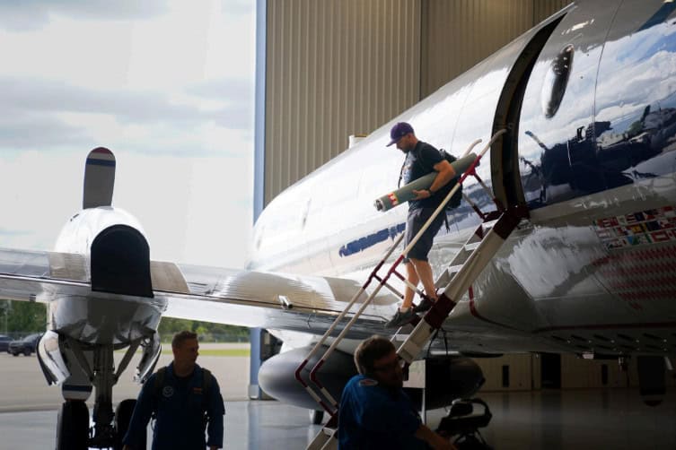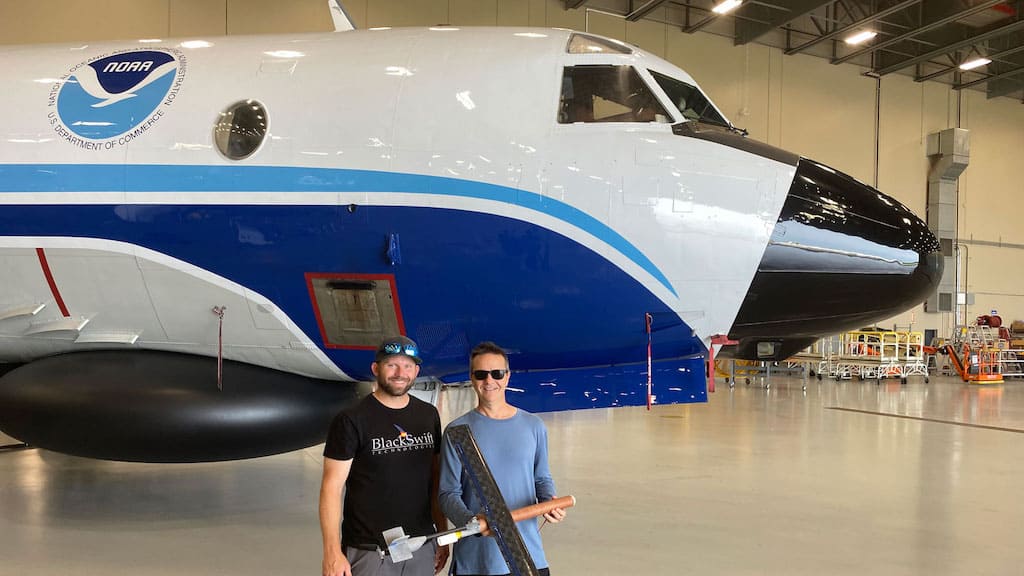
Black Swift Technologies (BST) has completed a series of validation flights marking the first demonstration of simultaneous, overlapping multi-Unmanned Aircraft System (UAS) sampling launched from a crewed hurricane aircraft.
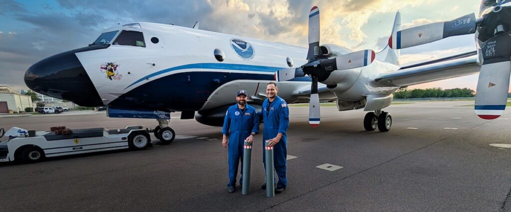
Conducted via a NOAA WP-3D Orion at the Aircraft Operations Center in Lakeland, Florida, the mission confirmed the ability to deploy distributed sensor networks to capture atmospheric data while reducing the operational burden on crews.
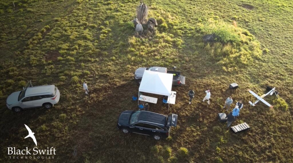
During the tests, an operator managed two Black Swift S0 drones simultaneously from a single station using an intuitive interface and sensor-reactive automation. This system allows the operator to specify objectives, such as finding maximum wind speeds, rather than manually piloting each platform. By moving the operator to a mission-level oversight role, the technology addresses the cognitive overhead that has traditionally limited multi-drone operations.
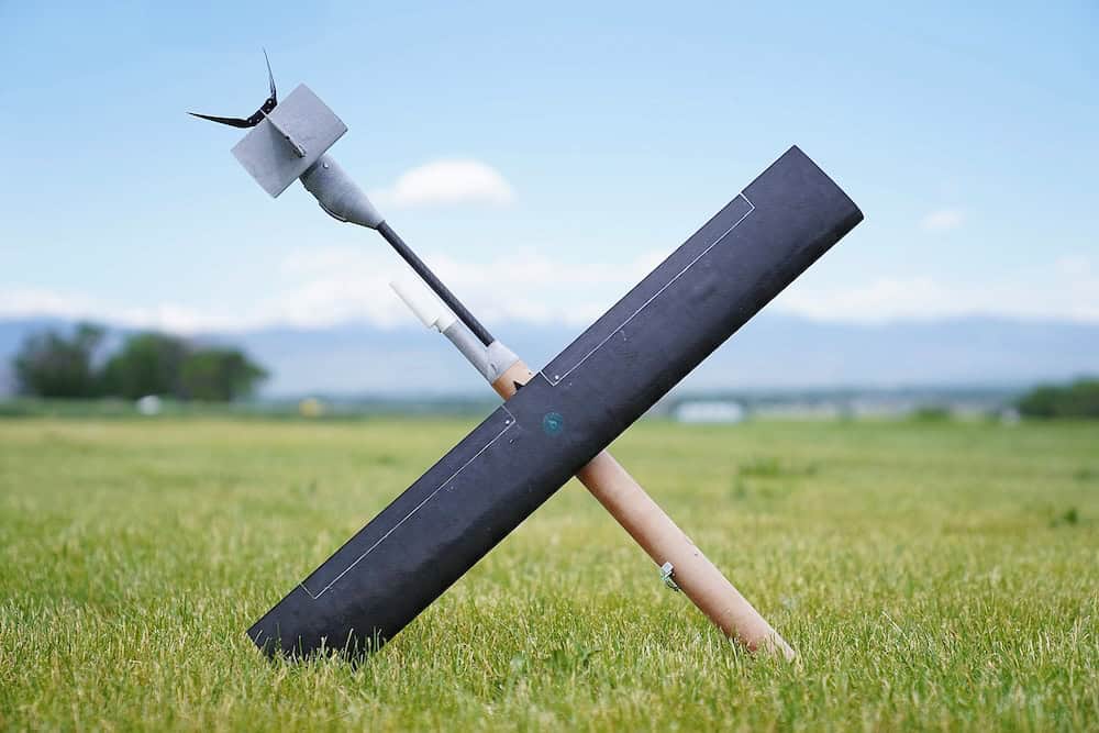
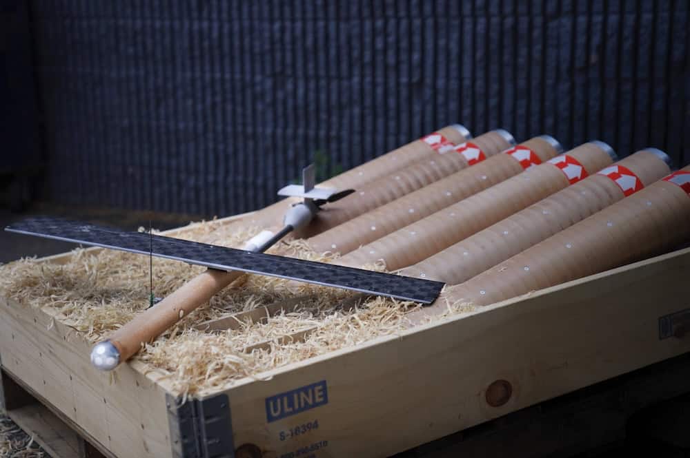
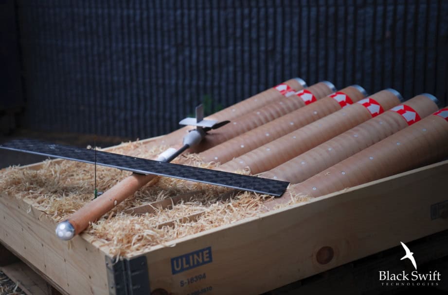
The transition to overlapping coverage shifts meteorological capabilities from single-point measurements to scalable persistence within the hurricane boundary layer. Unlike traditional dropsondes that provide only a rapid vertical profile as they fall, the S0 drone can cruise as low as 20 to 30 feet above the sea surface for up to two hours. This enables the platform to capture the inherent variability of the atmospheric boundary layer.
This continuous stream of low-altitude data is used to calculate critical air-sea energy fluxes, including momentum, sensible heat, and latent heat. Numerical models rely on the accuracy of the resulting exchange coefficients to forecast tropical cyclones.
Currently, the Black Swift Multi-Hole Pressure Probe (MHPP) is the only active small UAS instrument capable of taking real-time measurements in heavy precipitation of a high enough quality to calculate these coefficients. Such data is essential for correcting physics errors in numerical models and predicting explosive rapid intensification in tropical storms.
The S0 platform utilizes a communication architecture that established a record 247-mile range during the 2025 season. The recent flights validated the communication and deconfliction protocols required for multi-aircraft swarms, proving the architecture is ready for complex, real-world deployments.
This milestone moves distributed sensing from a theoretical framework to an operational reality, paving the way for missions involving 10 or more systems to maintain continuous coverage. The integration of this high-resolution, real-time data into global models is intended to sharpen storm warnings and provide greater lead time for evacuations.