


Explore how Blue Marble Geographics‘ Global Mapper was used to model tidal flooding in Portland, Maine, with tools for simulating water level rise, analyzing high tide data, and identifying flood-prone roads and land areas. Learn more > >
As coastal cities face the growing threat of flooding from sea level rise and extreme tidal events, advanced GIS tools are becoming essential for planning and resilience. A recent example in Portland, Maine—near the headquarters of Blue Marble Geographics—highlights how tidal flooding is becoming more frequent and severe, with water surging into city streets during high and king tides.
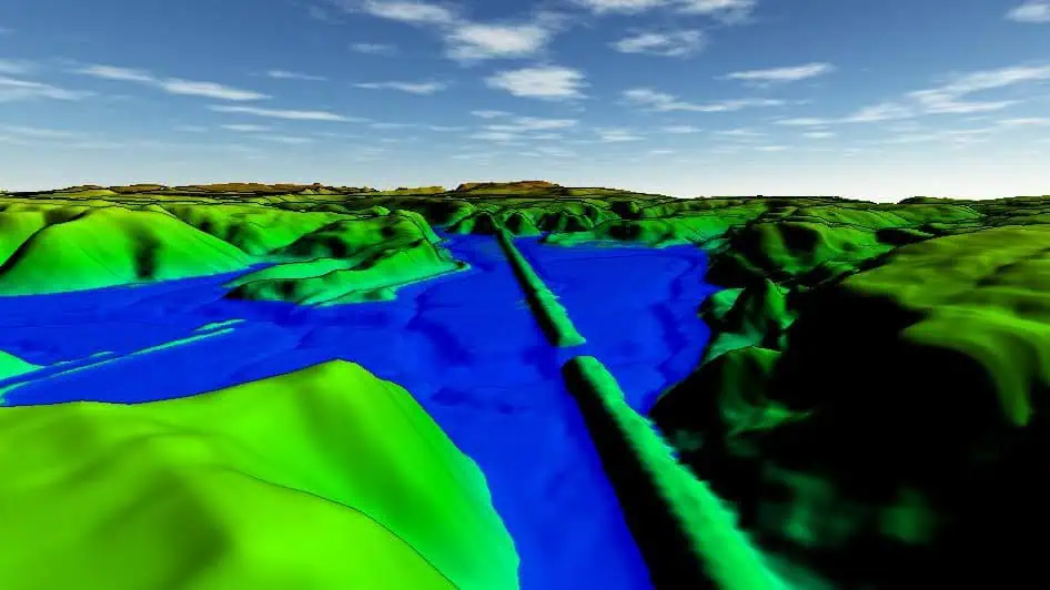
Using Global Mapper, a powerful geospatial analysis software, users can model these coastal flood scenarios in both 2D and 3D. From visualizing real-time tide data to simulating water level rise across terrain, Global Mapper enables planners, engineers, and local authorities to identify at-risk areas and assess potential impacts on infrastructure. Tools such as the Simulate Water Level Rise and Spatial Operations functions allow users to predict which roads and land parcels may flood under specific tidal conditions, helping inform flood response strategies.


