


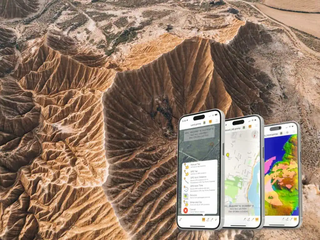
As field data collection becomes increasingly central to the workflows of geospatial professionals and unmanned systems operators, having access to reliable terrain analysis tools on mobile devices is essential. Global Mapper Mobile, developed by Blue Marble Geographics, brings these capabilities to the field, offering a streamlined solution for on-the-go terrain evaluation on both iOS and Android platforms.
Global Mapper Mobile includes a suite of quick terrain analysis tools available through the Pro Module subscription that allow users to perform critical elevation-based assessments directly from their device, without needing to return to the office or rely on a network connection.
Terrain Tools Built for the Field
Contour Creation
Among the most visually informative tools, Contour Creation allows users to generate vector contour lines from loaded terrain data. This is particularly useful for visualizing elevation changes and terrain steepness in the field, helping users interpret the landscape for applications such as site planning, drone flight routing, or environmental assessment.
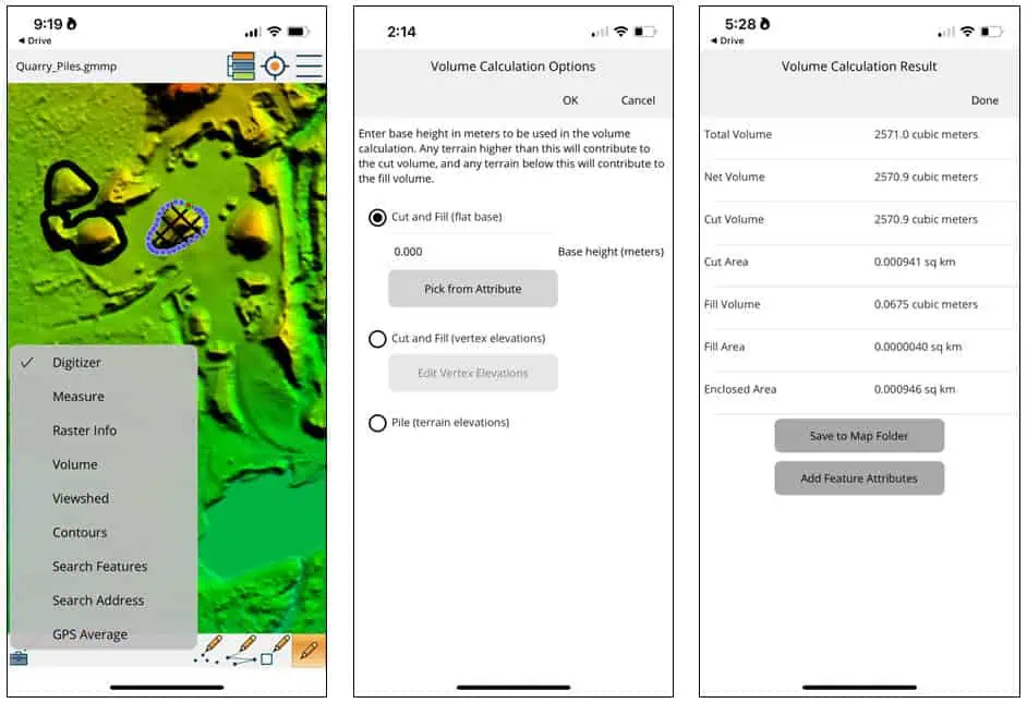
Volume Calculation
The Volume Calculation tool enables volume measurements of selected area features using underlying terrain data. Users can calculate volumes using three different elevation references: flat base, vertex elevations, or terrain surface elevations. This flexibility supports a range of tasks, from tracking earthworks to estimating material stockpiles. Notably, calculated volumes can now be saved with the associated vector area in the map file, ensuring data portability and clarity for post-processing or sharing with project teams.
Viewshed Analysis
The Viewshed tool provides a fast, reliable method for line-of-sight analysis, using either a user-defined point or the device’s current GPS location in conjunction with the loaded terrain model. It identifies visible and obstructed areas from a specific vantage point, ideal for planning surveillance setups, evaluating communication lines, or assessing landscape visibility for safety and logistics.
Supporting Unmanned and Remote Operations
These tools make Global Mapper Mobile an effective field companion for professionals working in unmanned systems, remote sensing, and geospatial analysis. By equipping users with analytical functionality on-site, the app enhances situational awareness and supports better, faster decision-making.
The Pro Module transforms a smartphone or tablet into a portable terrain analysis workstation, bringing the power of Global Mapper’s core capabilities into field operations with minimal friction.
For a deeper look at how these tools work in practice, visit Blue Marble Geographics’ blog: Quick Terrain Analysis in Global Mapper Mobile >>


