
Showcase your capabilities
If you design, build or supply Drone LiDAR, create a profile to showcase your capabilities and connect with visitors who have an active requirement for your solutions.


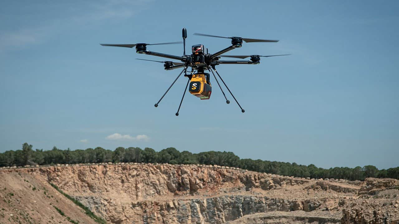
Drone LiDAR systems combine laser-based ranging sensors with unmanned aircraft to generate highly accurate 3D geospatial datasets and point clouds. Used across surveying, mapping, infrastructure inspection, forestry, agriculture, and defense applications, these payloads provide reliable performance in environments where photogrammetry may be limited by vegetation, terrain, or lighting conditions.
This page showcases leading UAV LiDAR manufacturers and drone LiDAR companies, offering solutions ranging from survey-grade mapping sensors to compact navigation-focused systems.
Read the Technology Overview
Inertial Navigation Sensors: MEMS IMU, Accelerometers, Gyroscopes, AHRS, GPS-INS & Point Cloud Generation

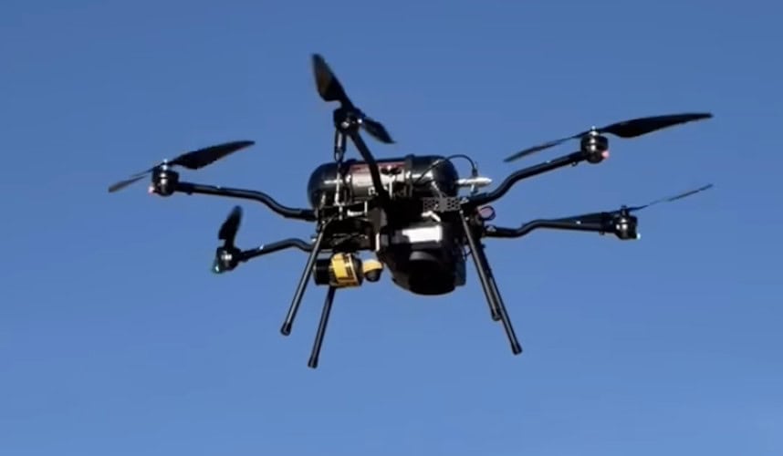
Cutting-Edge Unmanned Systems-based Sensing Solutions & Counter-UAS Systems for Military & Defense Forces
GNSS Positioning Systems, 3D SLAM & Mobile Mapping, Unmanned Surface Vehicles
AUV Payloads & ROV Skids: Underwater Laser Scanners & 4K Stills Cameras for Subsea Inspections & Surveys

GNSS Positioning & Navigation Systems, Mobile Mapping UAV LiDAR & Unmanned Surface Vehicles
If you design, build or supply Drone LiDAR, create a profile to showcase your capabilities and connect with visitors who have an active requirement for your solutions.

Drone LiDAR (Light Detection and Ranging) systems combine laser-based ranging hardware with unmanned aerial platforms to create highly accurate, three-dimensional digital representations of topography, infrastructure, and vegetation. By emitting rapid laser pulses and precisely calculating the time of flight for each pulse to return after striking a target surface, a drone LiDAR scanner generates dense point clouds. These collections of discrete georeferenced points are processed into detailed geospatial datasets.
Compared with traditional terrestrial surveying and image-based photogrammetry, a drone-based LiDAR system provides superior performance in complex environments. This advantage is clearest where dense vegetation cover, extreme terrain variation, or featureless surfaces challenge optical cameras. A modern UAV LiDAR system integrates a precise laser scanner, a survey-grade GNSS/INS navigation module, high-speed onboard storage, and sophisticated control electronics into a lightweight, optimized payload package.
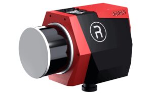
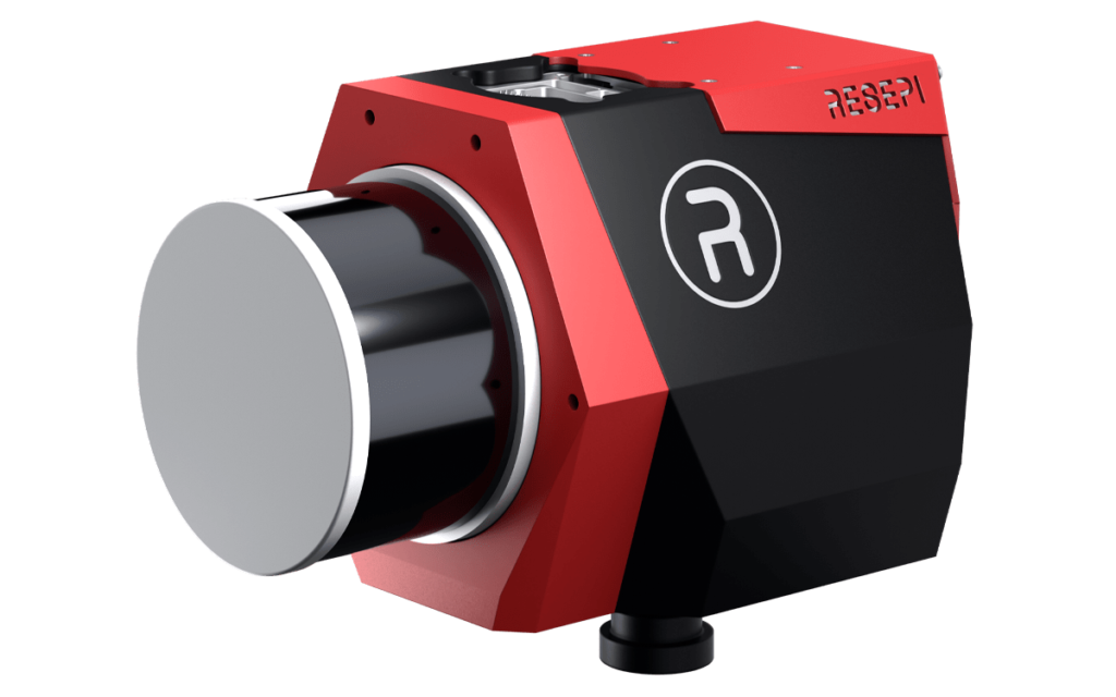
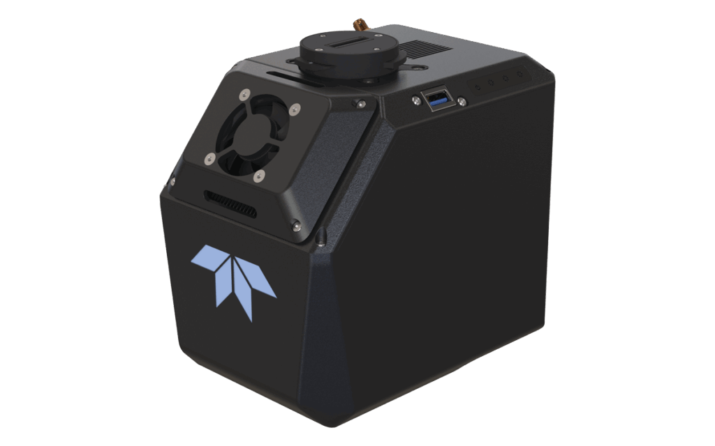
RESEPI GEN II LiDAR Scanning Solution by Inertial Labs, a VIAVI Solutions Company
High-precision surveying remains the foundational application area for airborne LiDAR systems. High-density point cloud generation allows survey teams to rapidly produce digital elevation models (DEMs), contour maps, and engineering-grade survey datasets. A drone-mounted LiDAR unit can collect millions of measurements during a single short flight, dramatically reducing hours spent in the field while maintaining precise positional accuracy.
Utility providers and asset managers deploy LiDAR equipped drones to inspect expansive power transmission lines, substations, pipelines, and rail networks. The resulting 3D data enables engineering teams to accurately monitor structural health, analyze catenary sag, identify vegetation encroachment, and plan preventive maintenance with minimal operational disruption.
The ability of a LiDAR drone sensor to record multiple discrete returns from a single laser pulse makes it invaluable for forestry management. While the first returns map the upper canopy structure, subsequent pulses slip through gaps in foliage to record the forest floor. This capability supports precise biomass estimation, canopy height mapping, and the generation of true bare-earth digital terrain models (DTMs) beneath dense vegetation.
Commercial farming operations rely on high-resolution airborne LiDAR scanner data to analyze micro-topography, map surface drainage, and plan precision irrigation infrastructure. Correlating crop features with exact terrain variations empowers operators to maximize resource allocation and yield efficiency.
Military, security, and first responder organizations utilize tactical drone LiDAR sensors for rapid intelligence, surveillance, and reconnaissance missions. High-resolution 3D mapping provides immediate terrain awareness, allowing personnel to evaluate route mobility, assess potential helicopter landing zones, and secure operational areas in both urban and austere environments.
Beyond data collection, an autonomous drone LiDAR sensor acts as a critical perception layer for safe flight operations. Delivering real-time, three-dimensional situational awareness enables unmanned aircraft to navigate complex environments safely, detecting thin power lines, building facades, and other localized hazards. Advanced configurations also support counter-UAS tracking frameworks by delivering highly precise object localization.
Maritime operators deploy specialized airborne bathymetric LiDAR systems to map coastlines, chart harbors, and monitor shoreline erosion. These sophisticated packages utilize green-wavelength lasers (typically 532 nm) capable of penetrating the water column. This enables the collection of seamless topography spanning both coastal terrain and shallow underwater environments within a single flight.
Selecting the right LiDAR sensor for drone deployment requires an understanding of the underlying laser-steering architecture. Modern LiDAR manufacturers build hardware utilizing four distinct structural approaches:

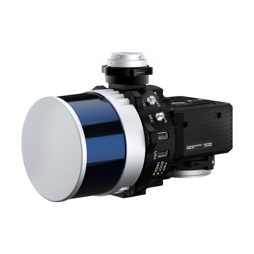
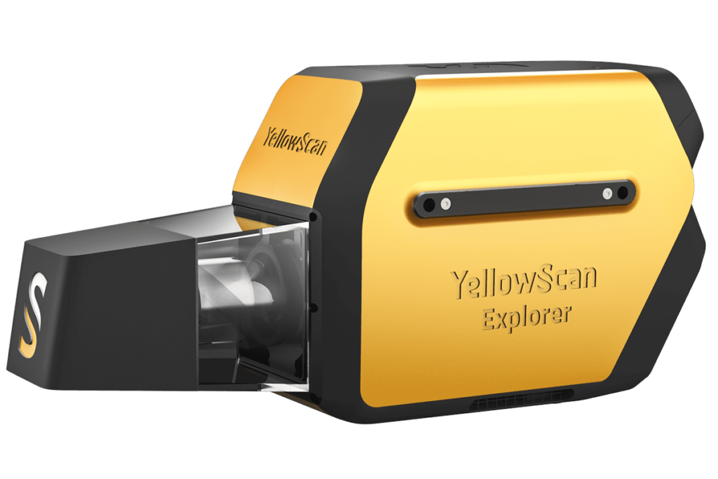
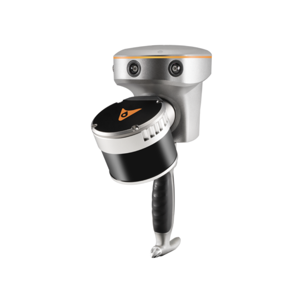
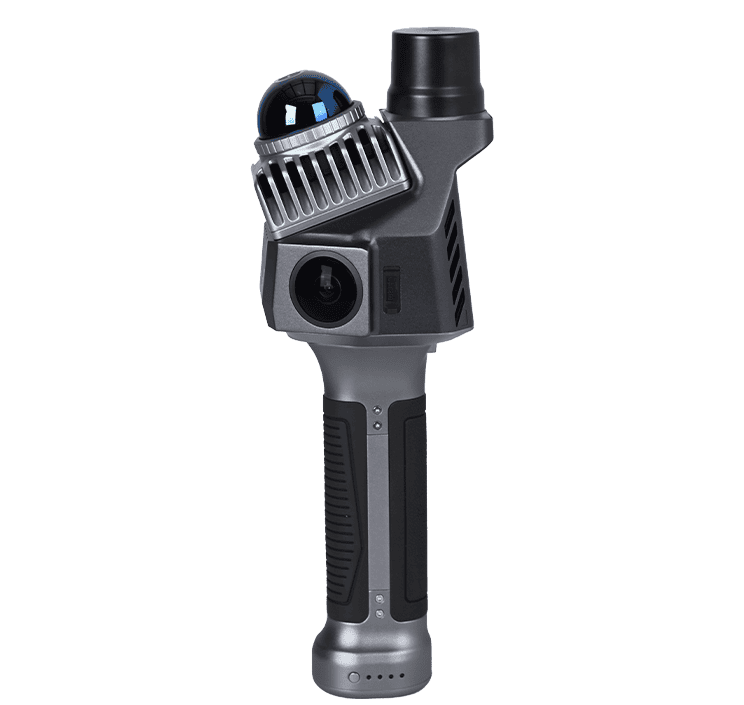
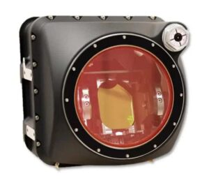
YellowScan Navigator Bathymetric & Topographic LiDAR Survey Solution
When technical specifiers evaluate a drone LiDAR system or select an entire LiDAR payload, several interconnected engineering metrics dictate operational success:
To optimize aerial data capture, the selected drone LiDAR hardware must align closely with the flight characteristics of the unmanned aircraft system.
Rotary-wing aircraft provide excellent maneuverability, steady hovering stability, and the ability to fly at lower speeds and lower altitudes. These platforms are the preferred choice for high-density infrastructure inspection, urban corridor mapping, and localized surveys requiring highly detailed 3D point clouds.
Fixed-wing drones deliver extended flight endurance and higher cruise speeds. When paired with a lightweight UAV LiDAR sensor, they excel at mapping expansive linear assets, regional forestry tracts, and large-scale pipeline corridors that would require multiple battery swaps on a multirotor platform.
VTOL aircraft combine the launch flexibility of a multirotor with the aerodynamic efficiency of a fixed-wing design. These hybrid platforms are increasingly favored by commercial drone LiDAR services, allowing operators to deploy high-value LiDAR equipment in confined areas while retaining the range needed for regional mapping.
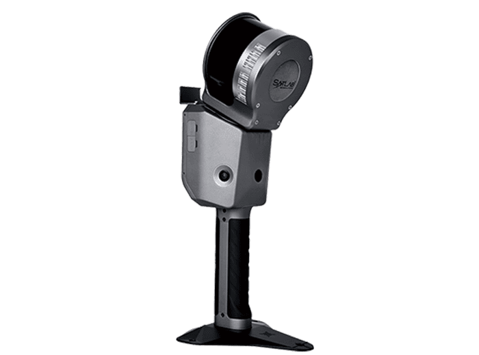
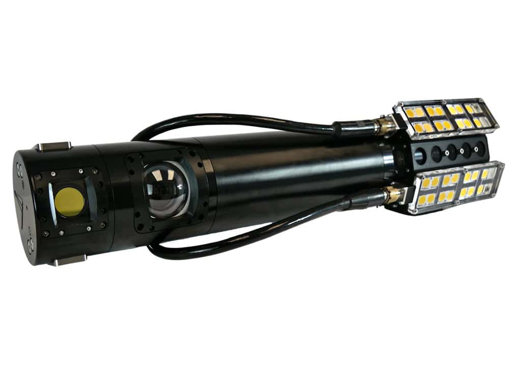
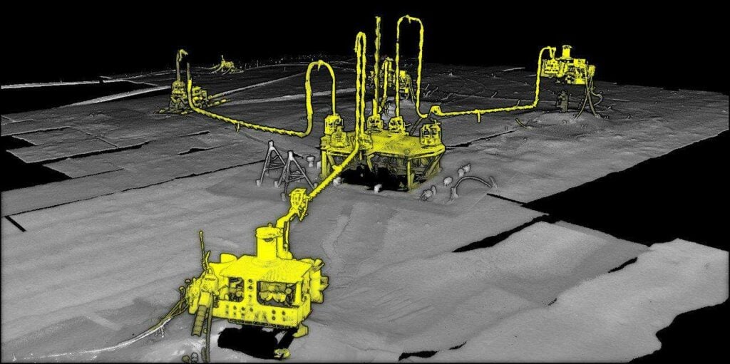
LiSA UAS-Deployable Situational Awareness LiDAR Solution by Areté
Raw data captured by a LiDAR drone camera or sensor payload requires a structured post-processing workflow to unlock its full commercial value.
The initial processing step fuses raw laser ranging data with the high-frequency positional information recorded by the onboard GNSS receiver and Inertial Measurement Unit (IMU). Through Post-Processed Kinematic (PPK) smoothing, engineers resolve the exact position and attitude of the sensor for every microsecond of flight, ensuring precise data alignment.
When flying parallel paths over a target area, adjoining data strips will overlap. Point cloud registration uses spatial algorithms and boresight calibration parameters to eliminate residual alignment discrepancies between flight lines. This creates a mathematically unified, seamless three-dimensional model.
Raw sensor data inevitably contains unwanted points caused by atmospheric dust, moisture, or sensor artifacts. Automated processing software applies geometric filters to remove this noise. Advanced algorithms then classify the remaining point cloud, sorting data into logical layers such as bare ground, low vegetation, high canopy, structural assets, and water surfaces.
Deploying drone LiDAR technology requires a practical understanding of how ambient atmospheric conditions influence data capture quality.
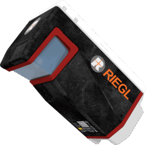
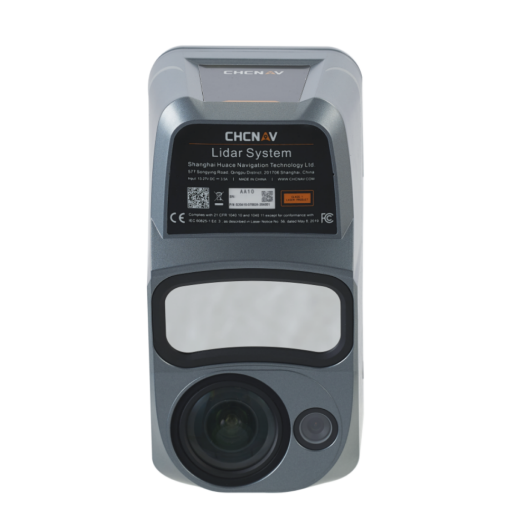
RIEGL VUX-10025 UAV LiDAR Scanner
Professional aerial surveying demands strict adherence to international geospatial frameworks to ensure dataset defensibility.
LiDAR data workflows must comply with established horizontal and vertical accuracy standards. Deliverables are routinely checked against independent ground control points (GCPs) to calculate the Root Mean Square Error (RMSE), validating that the spatial data meets structural engineering criteria.
The American Society for Photogrammetry and Remote Sensing (ASPRS) defines some of the most widely adopted standards for LiDAR data quality. These standards govern point cloud classification schemas, coordinate reference system reporting, and accuracy validation procedures, ensuring data consistency across international supply chains.
Several key technological advancements are currently shaping the future of aerial data collection and autonomous navigation:
The global drone LiDAR ecosystem includes established laser scanner manufacturers, payload integrators, specialized software companies, and platform developers. For procurement professionals, navigating this space means balancing the absolute accuracy requirements of the target application against the payload capacity and budget constraints of the enterprise. Partnering with recognized LiDAR suppliers ensures that your organization secures the technical support, software licensing, and hardware reliability required to maintain a competitive edge in high-value aerial surveying.

 Searching Companies & Products


 Subscribe to the Weekly eBrief
The latest engineering and technical developments straight to your inbox - join thousands of engineers who receive it.
Subscribe to the Weekly eBrief
The latest engineering and technical developments straight to your inbox - join thousands of engineers who receive it.