New Communication Technology for Underwater Robots
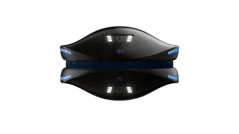
Water Linked has developed a custom acoustic modem platform to provide underwater communications for fish cage cleaning autonomous robot




Category archive
Page 13
Water Linked has developed a custom acoustic modem platform to provide underwater communications for fish cage cleaning autonomous robot
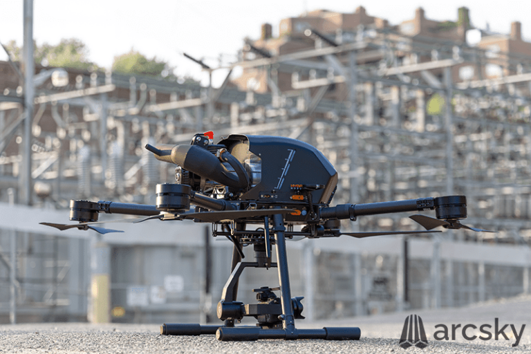
Arcsky’s X55 is a multi-role utility UAV with up to 3 hour flight time and interchangeable power modules
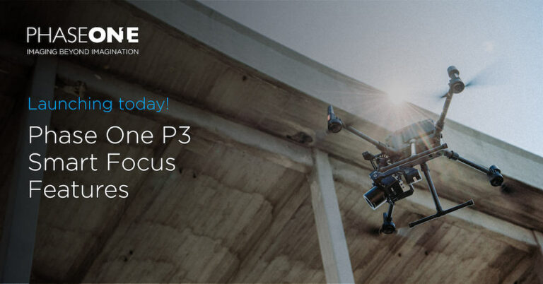
Phase One’s P3 Smart Focus is purpose-built for the inspection of complex high volume industrial assets such as wind turbines or power towers
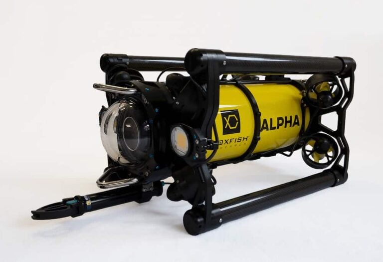
The Boxfish Alpha from Boxfish Research is designed for regular inspections, search and rescue, and recovery missions
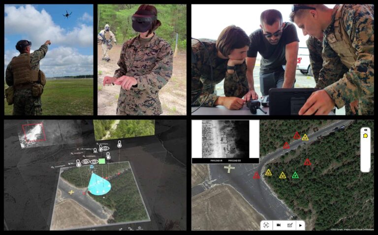
SFL Scientific’s OptoAI identified visual, thermal, and chemical threats in real-time, on board a small UAV, displaying markers in an augmented reality (AR) sandtable for command & control
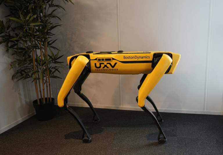
UXV Technologies aims to make operations with Spot more efficient and reliable by delivering its custom ground control stations
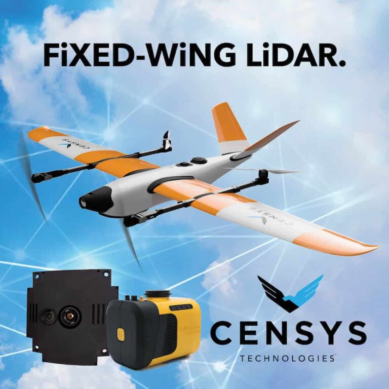
This technology is useful for land surveying, power line inspection, topographic surveys, forestry and wildfire mitigation, precision agriculture, and mining
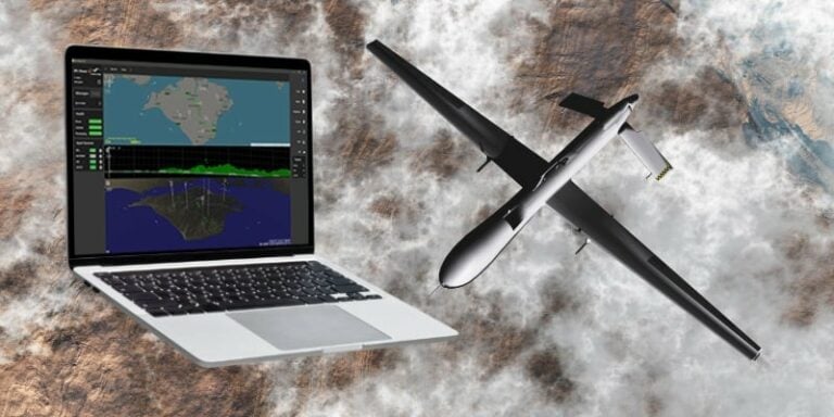
Cambridge Pixel’s SPx Viewer-3D enables users to manipulate the viewpoint to observe data from 3D or 2D radars, along with AIS and ADS-B information from any angle for tasks such as drone detection
UAVOS used a Borey fixed-wing UAV to demonstrate how drones can optimize and improve the way data is collected and analyzed, help to reduce environmental risks, and generate economic wealth in the sector
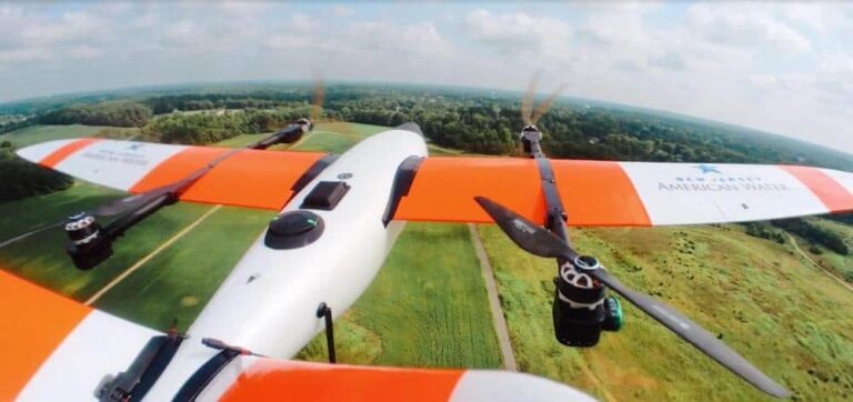
The new waiver will allow the company to fly 4-miles from the UAS pilot to enhance its monitoring of source water and potential environmental threats to the water supply
Maris-Tech’s Jupiter-AI provides a hardware and software solution for remote platforms’ video streaming, recording, debriefing and AI at the edge
The demonstration for the Polish Navy showed that accurate positioning of underwater targets is possible even in highly challenging acoustic conditions
Truly "unmanned" autonomous inspection S400 quadcopter and K01 docking station revealed by GDU-Tech
TotalEnergies has partnered with iXblue to demonstrate collaborative uncrewed capabilities for subsea inspection and asset survey operations
Soaring Eagle Technologies, using Iris Automation’s advanced Detect and Avoid system Casia, has been approved for a BVLOS waiver to inspect up to 27 linear miles of commercial infrastructure
The company plans to donate the use of equipment, staffing and expertise to support local first responders, NGOs and government agencies in natural disaster and humanitarian crisis situations
This new partnership aims to empower customers to increase productivity and consistent image quality for reliable and scalable operations
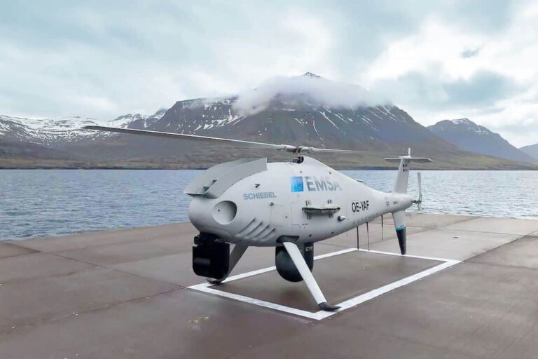
Schiebel’s CAMCOPTER S-100 aircraft’s main task is to identify vessels and activities of interest at a much greater range than normal, thereby extending the ship’s situational awareness
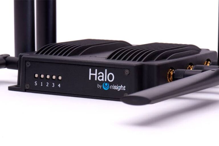
Elsight's Halo will provide a C2 link for UAVs transporting medicines, supplies and lab test specimens
Volatus will mentor the nation in developing its critical skills and infrastructure for a robust RPAS business servicing the community
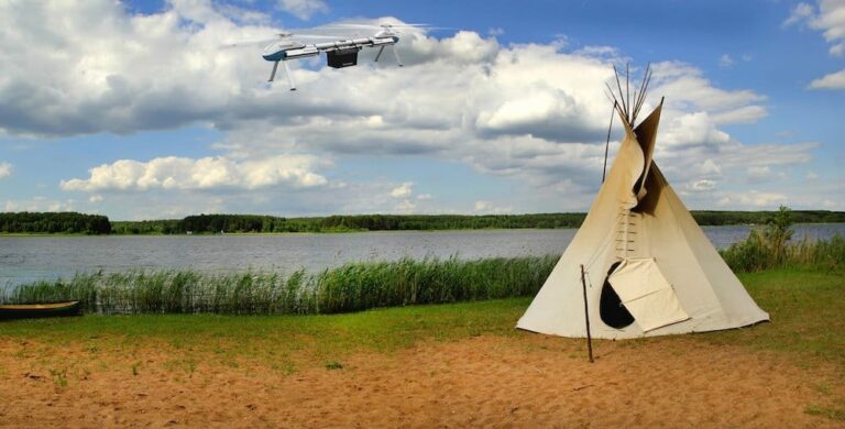
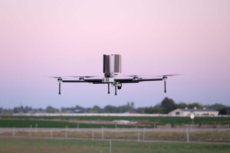
The drone's unique configuration allows a payload to be mounted on a long horizontal arm, using a cyclorotor for precise control
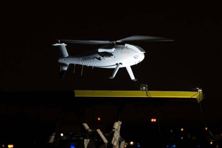
The three-week onshore test phase was part of the Offshore Drone Service contract between energy company Equinor and Nordic Unmanned, proving the utility for UAV offshore logistics
SPH Engineering and GreenValley International align UgCS mission planning software and LiDAR360 data processing software for UAV-based LiDAR surveying
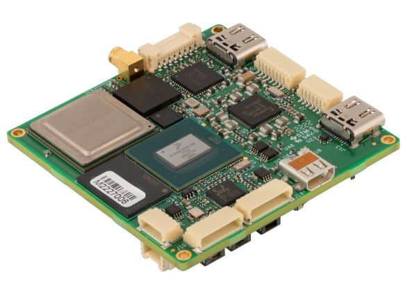
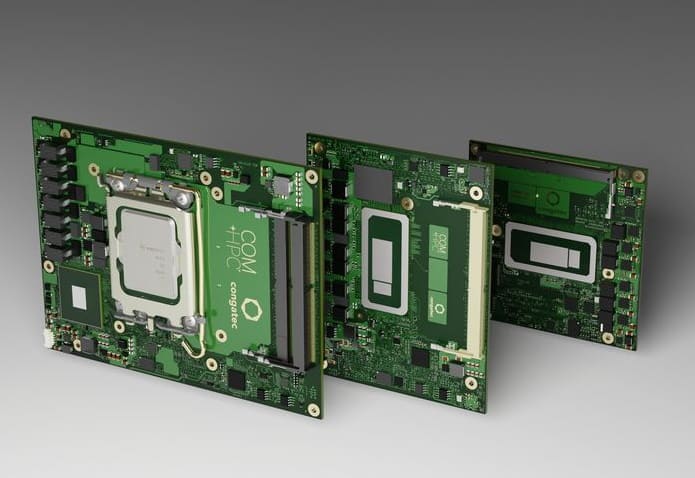
The new modules can be incorporated into passively cooled embedded and edge computing platforms
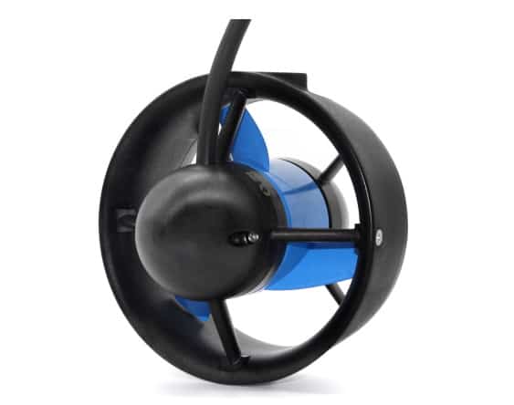
The T500 Thruster uses a flooded brushless motor design and can produce up to 16 kgf of thrust
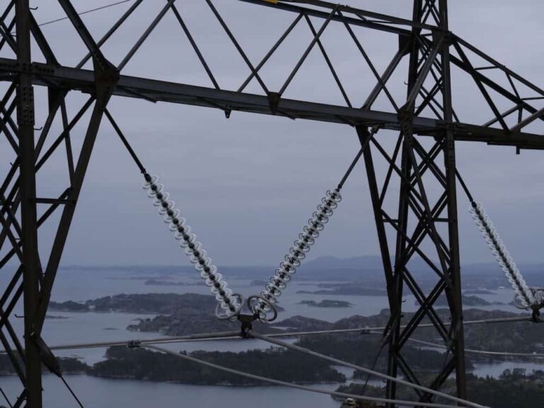
The visual system uses fixed and steerable sensors combined with robotics and AI algorithms to autonomously capture detailed images of powerline components


 Searching Companies & Products