Combining digital data and its customized software, UAVOS has completed a drone-based forest inspection project to assess the general timber environment.
UAVOS’ methodology has provided innovative analysis of forestry data, allowing foresters not only to optimize and improve the way data is collected and analyzed on a daily basis but also helping to reduce environmental risks and to generate economic wealth in the sector.
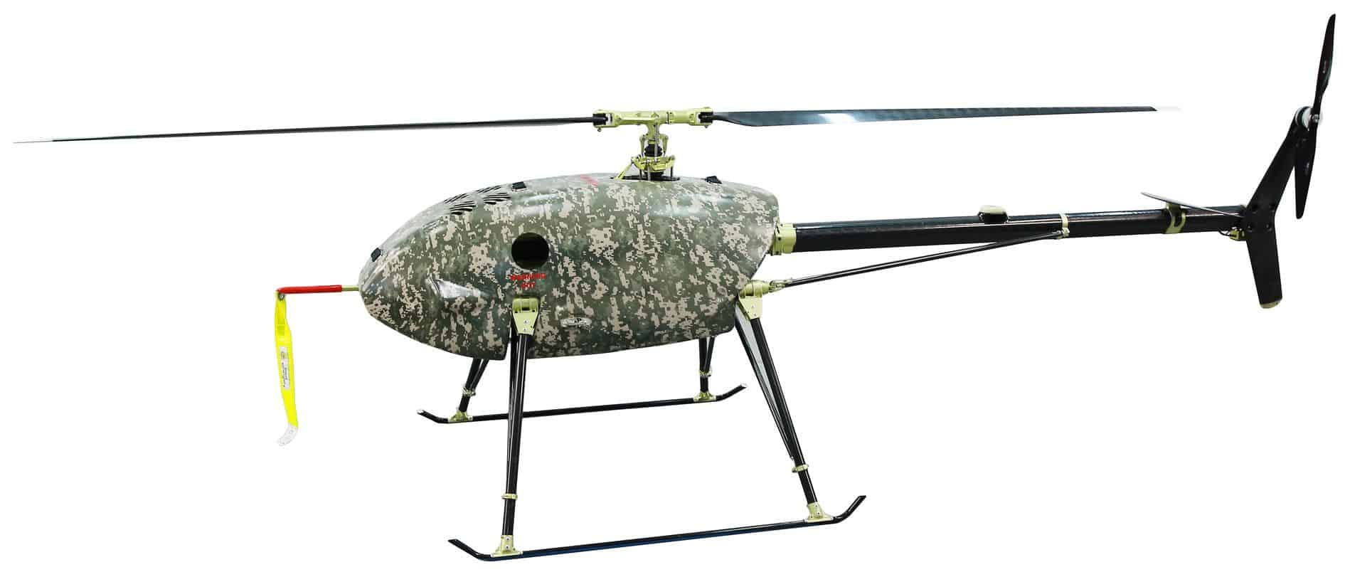
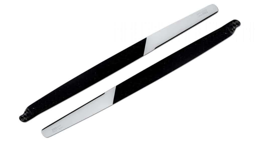
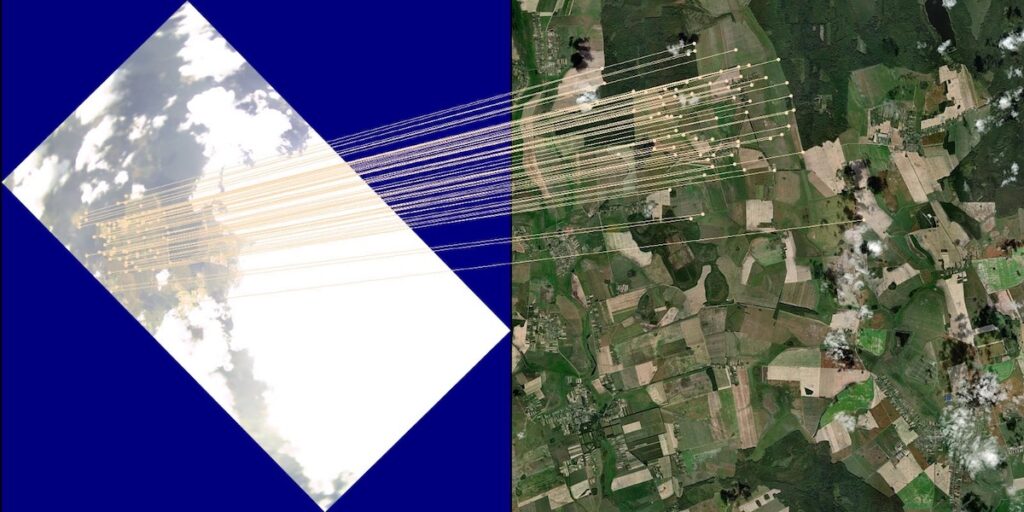
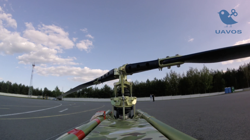
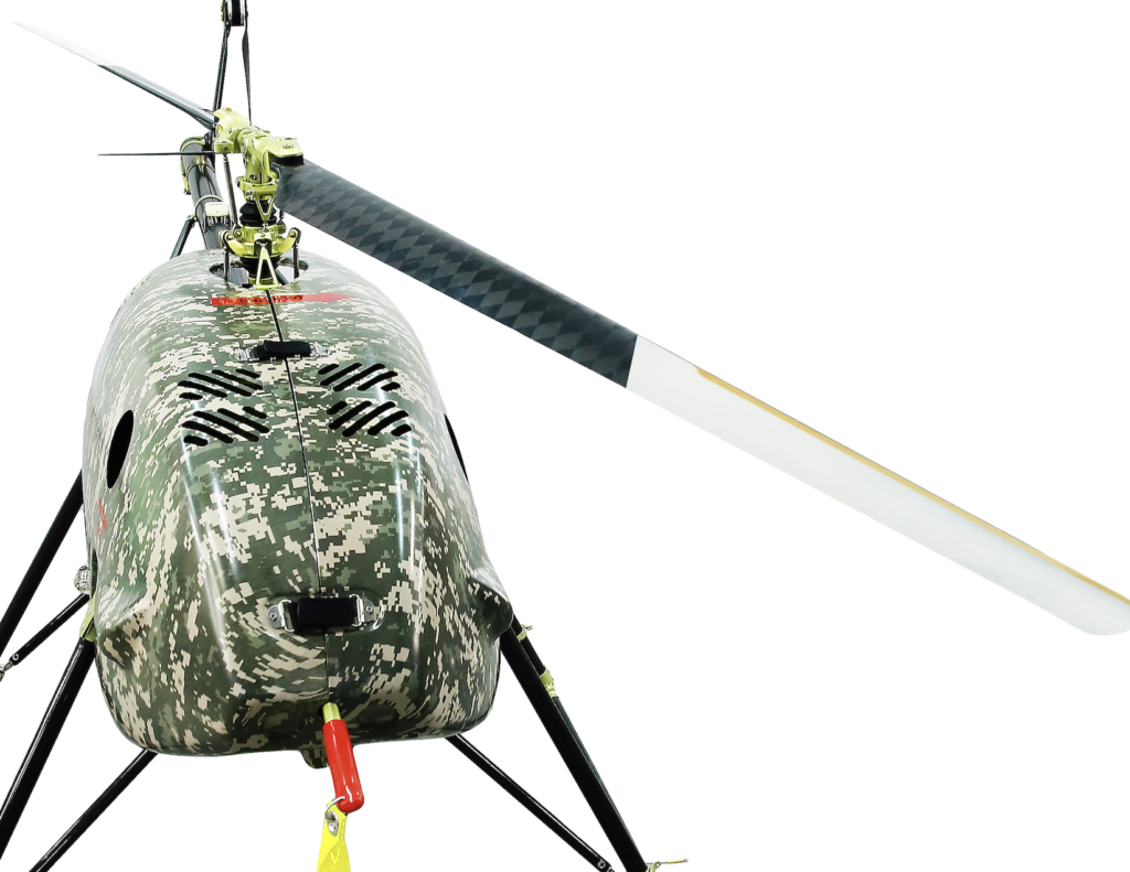
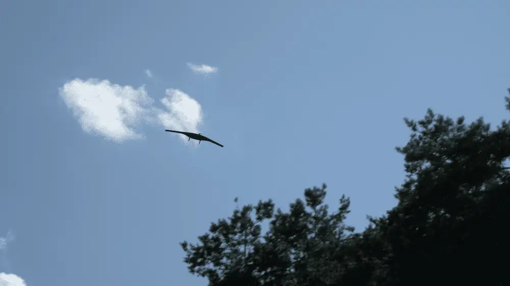
The project, carried out under partnership with a forestry and land management company, employed a Borey fixed-wing Unmanned Aerial Vehicle (UAV) equipped with a digital camera. The goal of the project was to analyze high accuracy spatial data and create a 3D line map from airborne digital photogrammetry and telemetry.
The high-precision aerial images allowed the UAVOS team to automatically identify symptoms of tree pests and diseases, assess general tree health, and conduct illegal logging activity assessments. Utilizing drones aimed to extend scope to assess long term decline of slow acting bark beetles in pine stands, which are major pests of conifer forests in the world.
“Our approach to project management is to restrict the spread of bark beetles by annual aerial surveys around the edge of a quarantined area followed by destruction of infested trees,” said Aliaksei Stratsilatau, CEO at UAVOS. “Detection of disease would be achieved by producing orthorectified layers.”
Processing data for this project was undertaken using Artificial Neural Networks (ANNs) and UAVOS’ proprietary Artificial Intelligence (AI) software, designed specifically for large survey datasets. The results will be used to identify and optimize forest management activities.
“Our project’s outcome demonstrated the ability to comprehensively survey nearly 1000 acres (400 hectares) of forest area, using the Borey unmanned aircraft, in only a few weeks time,” said Stratsilatau. “Borey equipped with a digital camera also showed the significant cost-effective benefit that could be gained from employing the quick-deployment unmanned platform to capture forest landscape.”