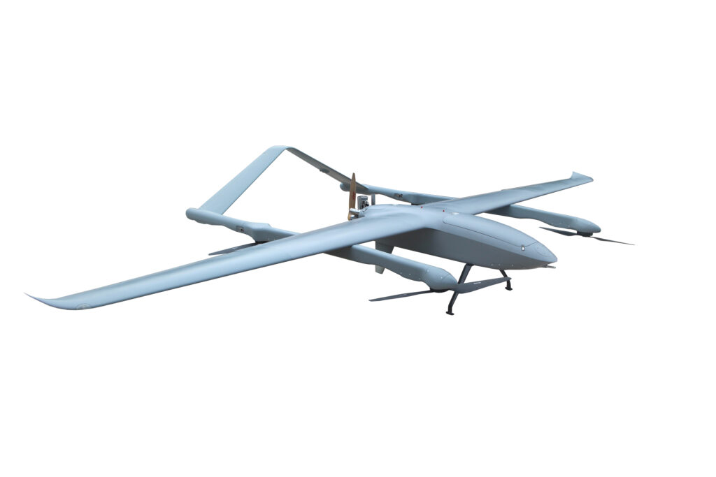
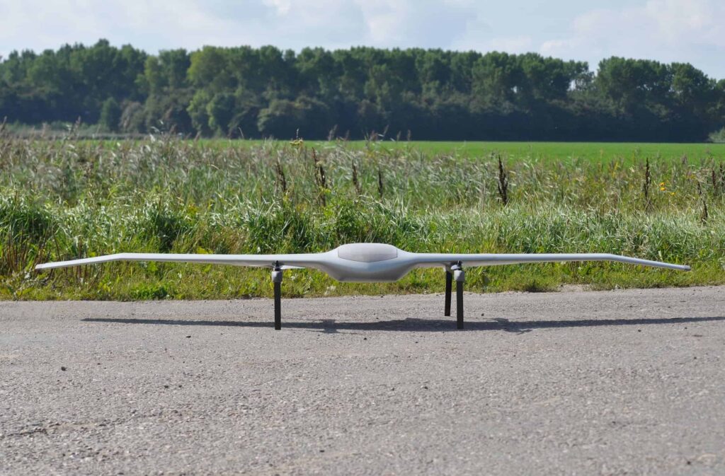
FlyDragon Drone Tech has released the FDG50F, an ultra-long endurance hybrid VTOL UAV designed for surveying and mapping, with LiDAR payload and BVLOS capability
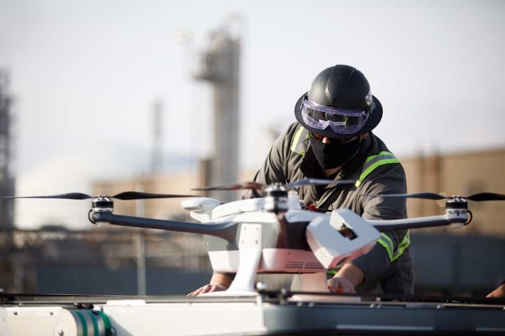
Percepto's autonomous drone technologies and AI-driven software enable quick, effective remote emissions monitoring and leak detection in a variety of industries
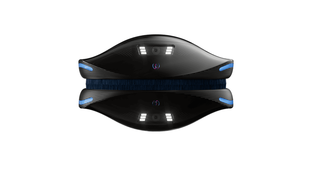
TEKEVER’s AI-driven drones will provide intelligence on threats to marine life including whale and dolphin migration, illegal fishing and pollution over the maritime and the coastline environments
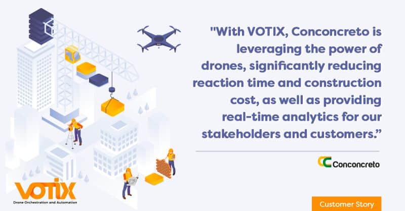
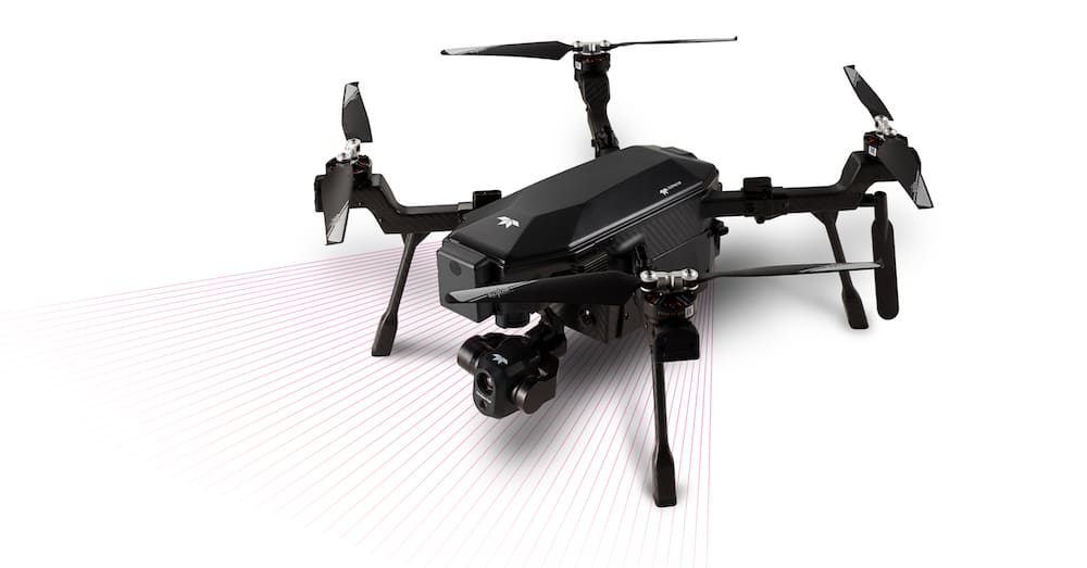
VOTIX’s drone orchestration platform has been selected by Conconcreto to enable remote inspection and monitoring of multiple construction sites in the United States
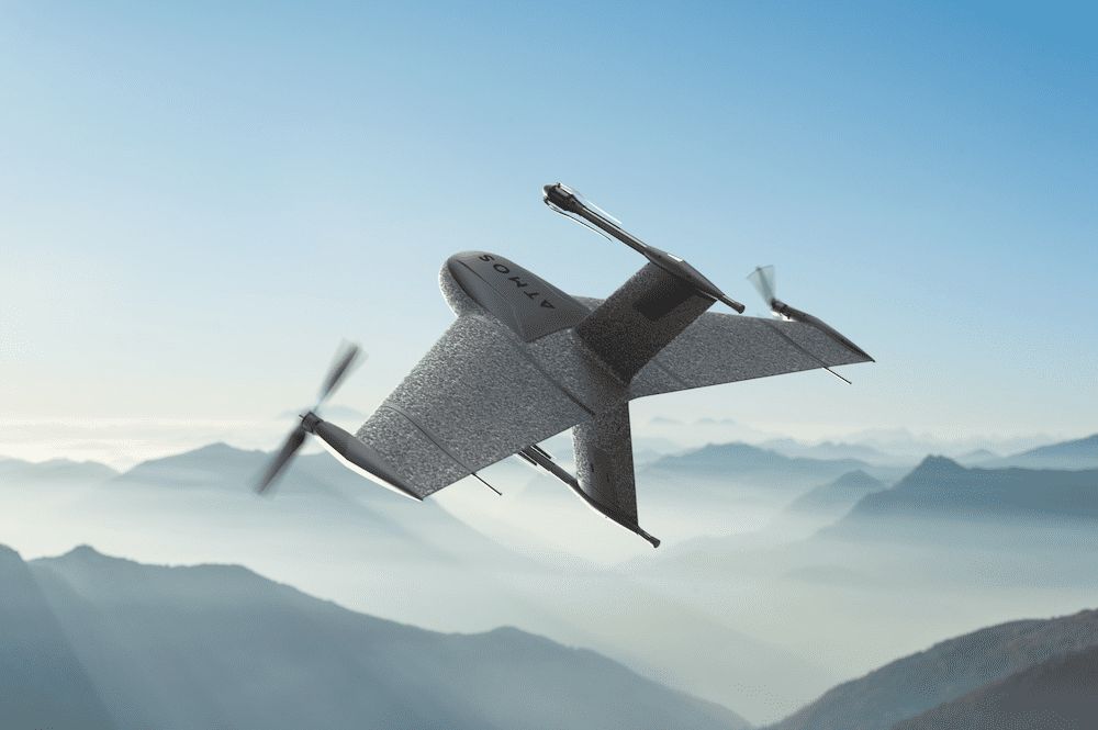
Volatus Aerospace will be responsible for the distribution of Atmos’ Marlyn Cobalt survey drones in Canada, and will provide assistance and maintenance services to local UAV operators
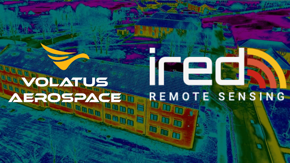
Volatus believes the acquisition of iRed Limited will provide a foundation for continued growth in the region and reinforce the company’s overall thermographic capabilities
The capability to upgrade the Boxfish ROV platform to perform autonomous and semi-autonomous tasks aims to deliver better data, enhanced survey repetition and increased efficiency in underwater operations
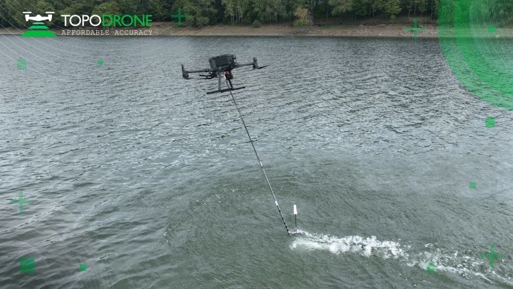
Launched at INTERGEO 2022, AQUAMAPPER is developed in-house by TOPODRONE and contributes to a complete set of photogrammetry, LiDAR and bathymetry surveying solutions
Teledyne Geospatial’s new Optech CLS-A integrates the CL-360XR LiDAR scanner with 0.3-mrad beam divergence, 360-deg field of view, and survey-grade precision and accuracy
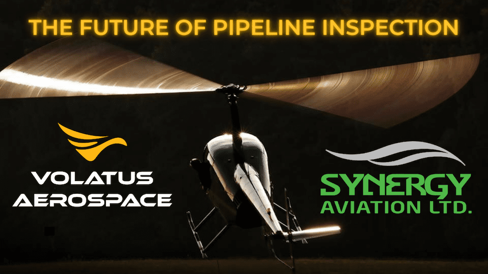
Synergy's pipeline surveillance expertise and Volatus' technology will put the company in a position to introduce efficient, green, remotely operated drone solutions to fulfill regulatory and asset monitoring requirements
Software provided by Teledyne CARIS was used to monitor data quality and coverage, with new data being compared to previous maps to assess the effects of the eruption on marine life and seafloor composition
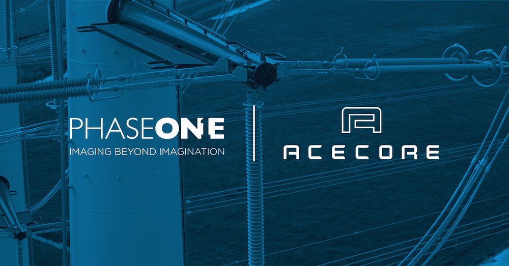
The turnkey bundle with Acecore Technologies’s Zoe drone and the Phase One P3 payload offers a plug and play solution designed for aerial mapping and inspection.
The FIXAR 007 unmanned aerial solution (UAS) has successfully completed a one-day mission flying in mountainous regions over 6000 meters above sea level
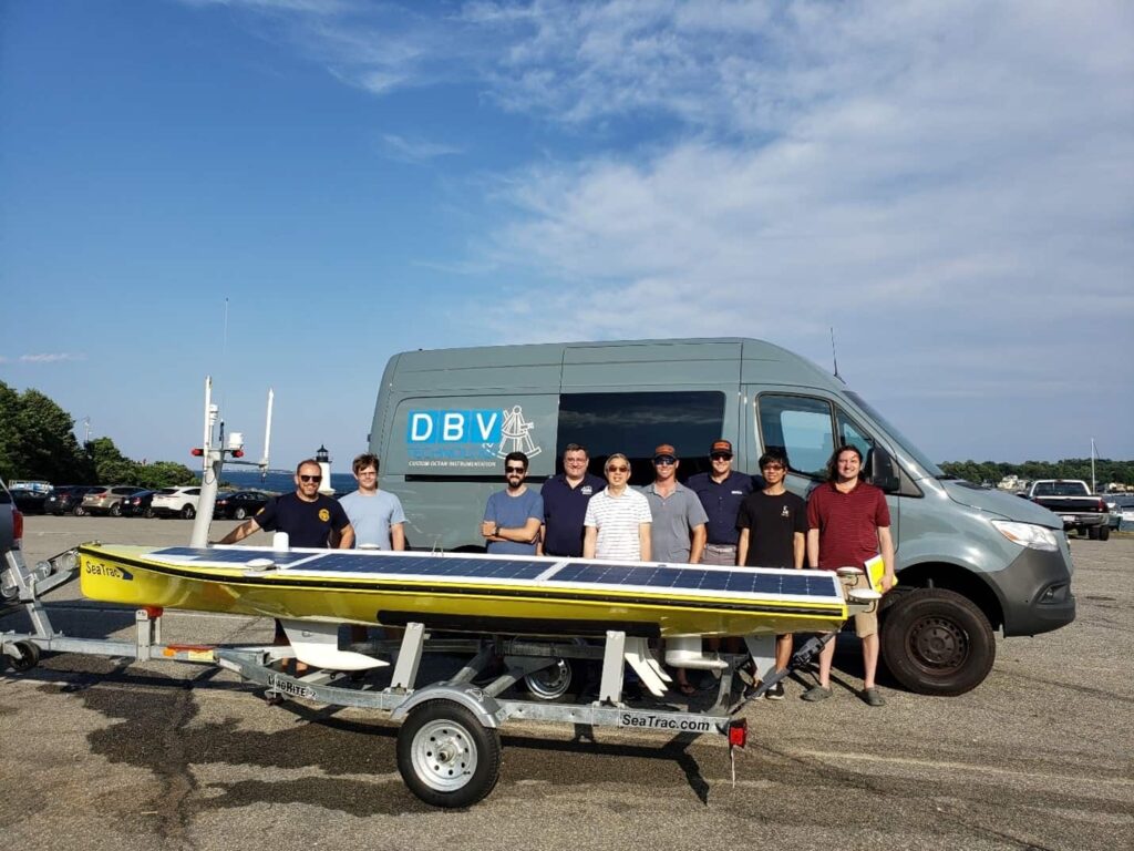
Princeton University has selected the SeaTrac SP-48 Unmanned Surface Vehicle (USV) to monitor deep seafloor tectonic plate movement with an innovative seafloor geodesy system
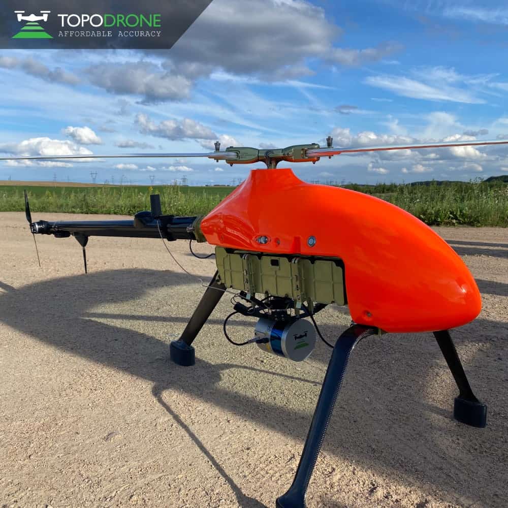
TOPODRONE has announced the new LiDAR PRIME + aOrion Heli-E system, which incorporates Velodyne Lidar's long-range Alpha Prime sensor for high-precision, large area aerial mapping
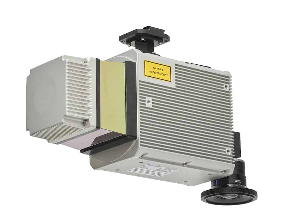
The self-contained laser and camera module can seamlessly integrate within a Remus 600 AUV to capture detailed 3D data collected using the laser system and crisp, even illuminated stills obtained from the imaging solution
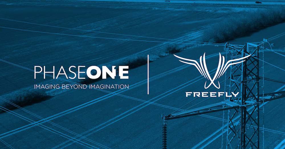
Freefly's Alta X UAV and the Phase One P3 camera plug and play solution will enable customers to integrate real-time, best-in-class inspection data into their preferred applications and workflows
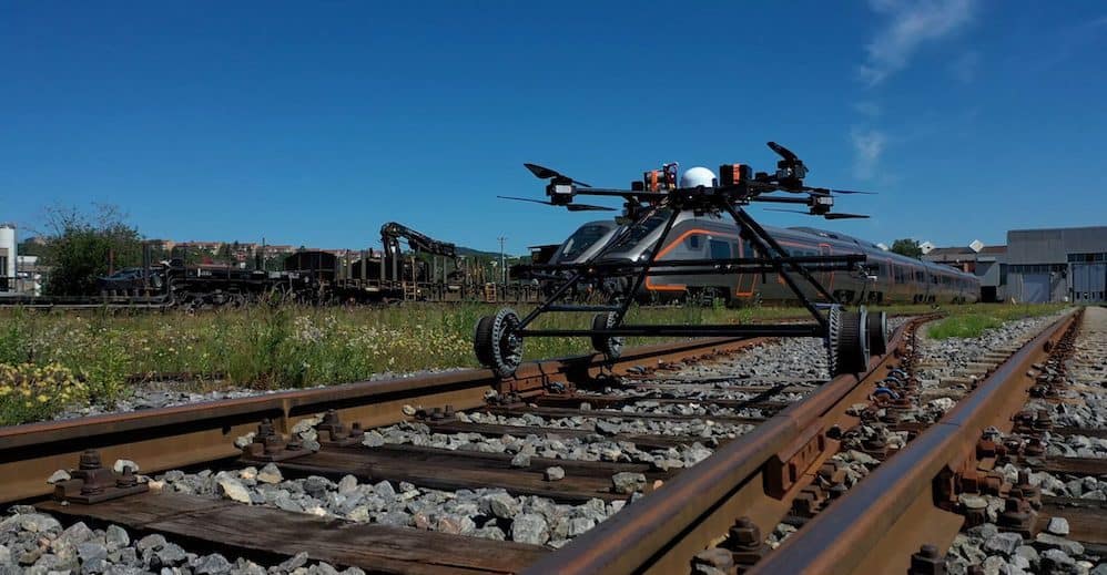
The Staaker Railway Drone is a flexible data acquisition platform, and one of the aims of the first-phase contract with BNSF Railway is to further develop the solution and its use cases
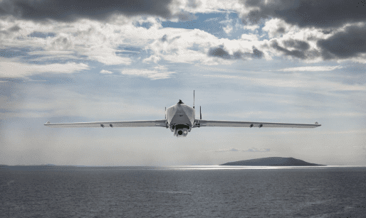
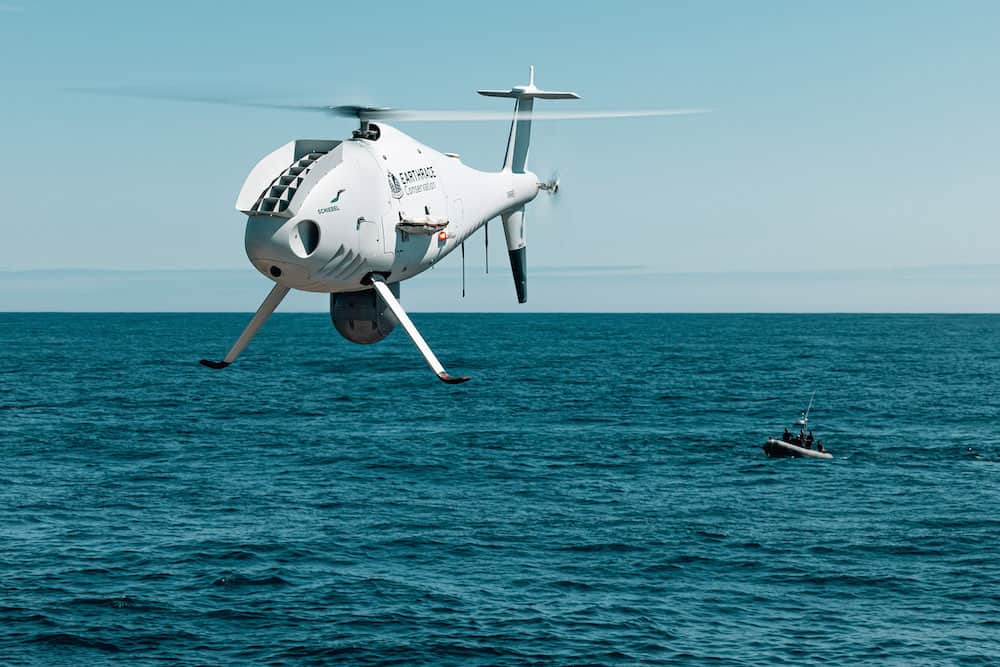
Equipped with a Trakka TC-300 Electro-Optical / Infra-Red camera gimbal and an AIS receiver, the Schiebel CAMCOPTER S-100 is currently deployed onboard the Earthrace Conservation vessel M/Y MODOC
The program is designed to provide the resources needed to develop business opportunities, including marketing, internal training and maintenance, technical support, quantity discount, and more
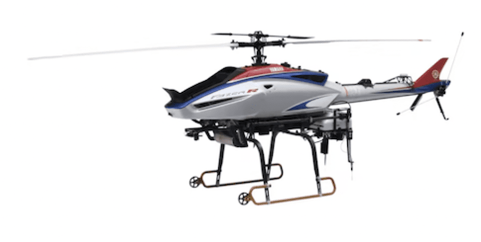
Yamaha Motor Co., Ltd used the automatic navigation version of the FAZER R G2 model to bolster its response to the expansion of transportation and delivery requirements in the sector
Advancing Unmanned Systems Through Strategic Collaboration
UST works with major OEMs to foster collaboration and increase engagement with SMEs, to accelerate innovation and drive unmanned systems capabilities forward.