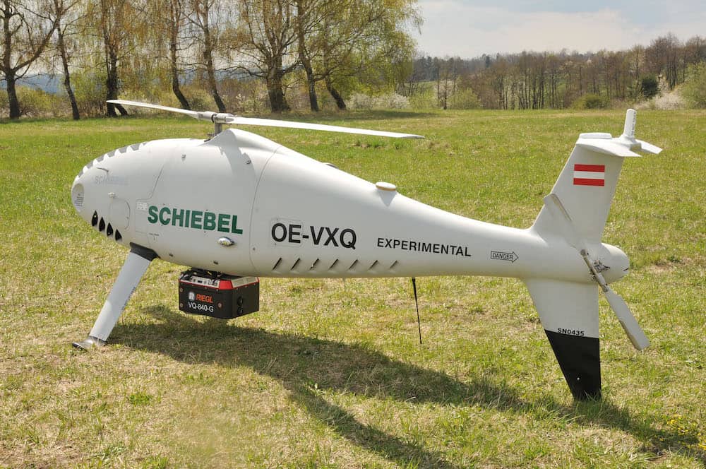
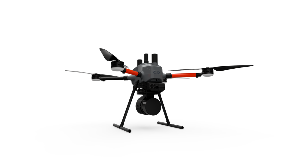
The RIEGL VQ-840-G has been integrated on the Schiebel CAMCOPTER S-100 UAS to create an efficient and secure system for surveying shallow waters, where monitoring from boats becomes a challenge
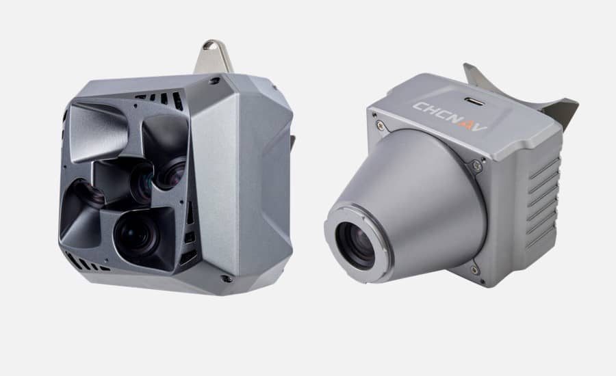
Designed for seamless integration with UAVs, the new C5 and C30 cameras deliver high quality imagery, enabling professionals to unlock the full potential of aerial surveying for a range of applications
Offering design flexibility and versatility, Aurora boasts an array of advanced features with live video streaming, cloud flight logging and seamless payload integration
Skydio has received nationwide approval from the Japan Civil Aviation Bureau (JCAB) for remote operations using Skydio Dock and Remote Ops with no flight crew on site
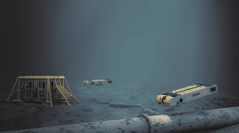
Saab’s Sabertooth AUVs will form part of PXGEO’s MantaRay solution for offshore seismic data acquisition and for deployment and recovery of equipment during ocean bottom surveys
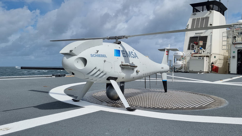
Embarked on board the patrol vessel Bamberg, Schiebel’s CAMCOPTER S-100 is being used to monitor commercial ship emissions within the German Exclusive Economic Zone (EEZ)
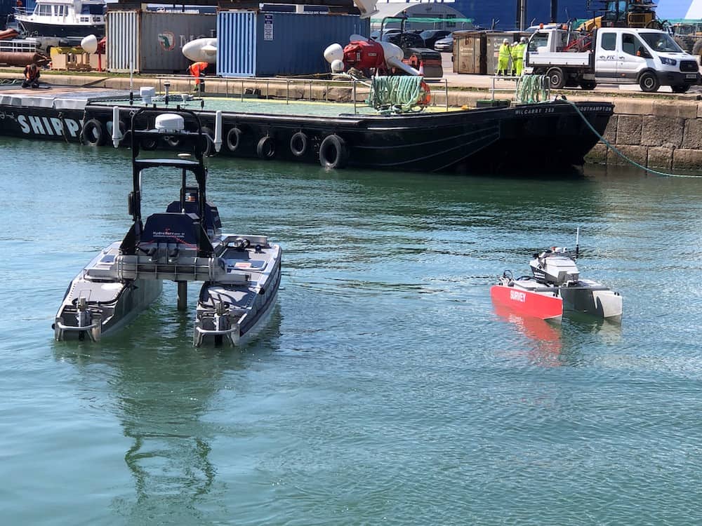
The merger will deliver a broad offering of both near-shore and long-endurance USVs for ocean data collection, hydrographic, geophysical and environmental survey, and surveillance and monitoring of offshore infrastructure
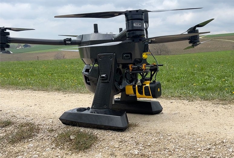
With the combined systems from Xer and Yellowscan, users are now able to acquire high resolution LiDAR data from several hours of continuous flight operations
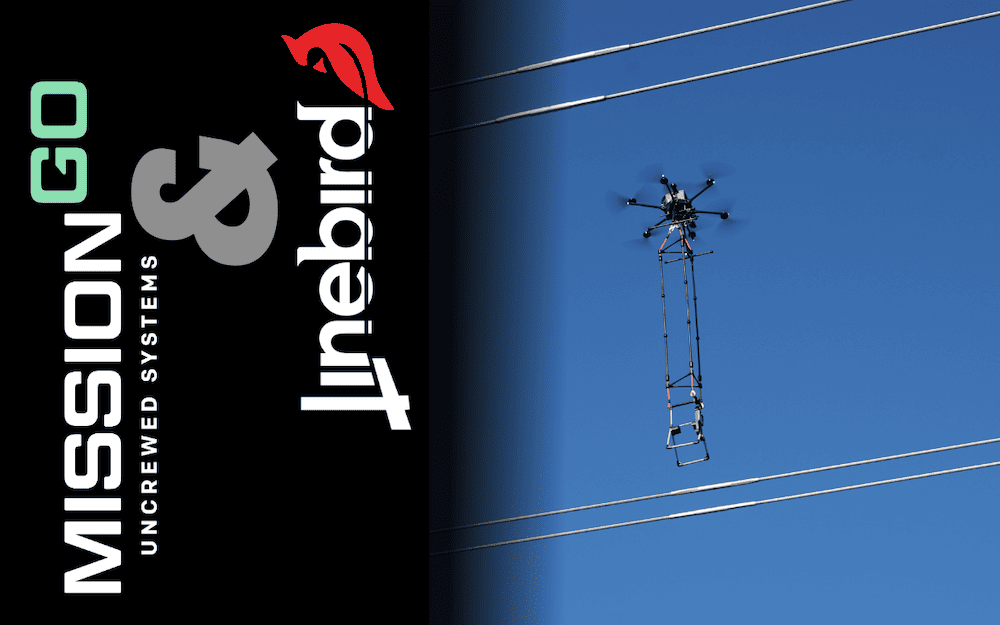
The combination of Performance Rotors' drones and robotics, and XTEND's award-winning XOS operating system, will make human-guided, remote interactive operations possible in a range of industrial inspection scenarios
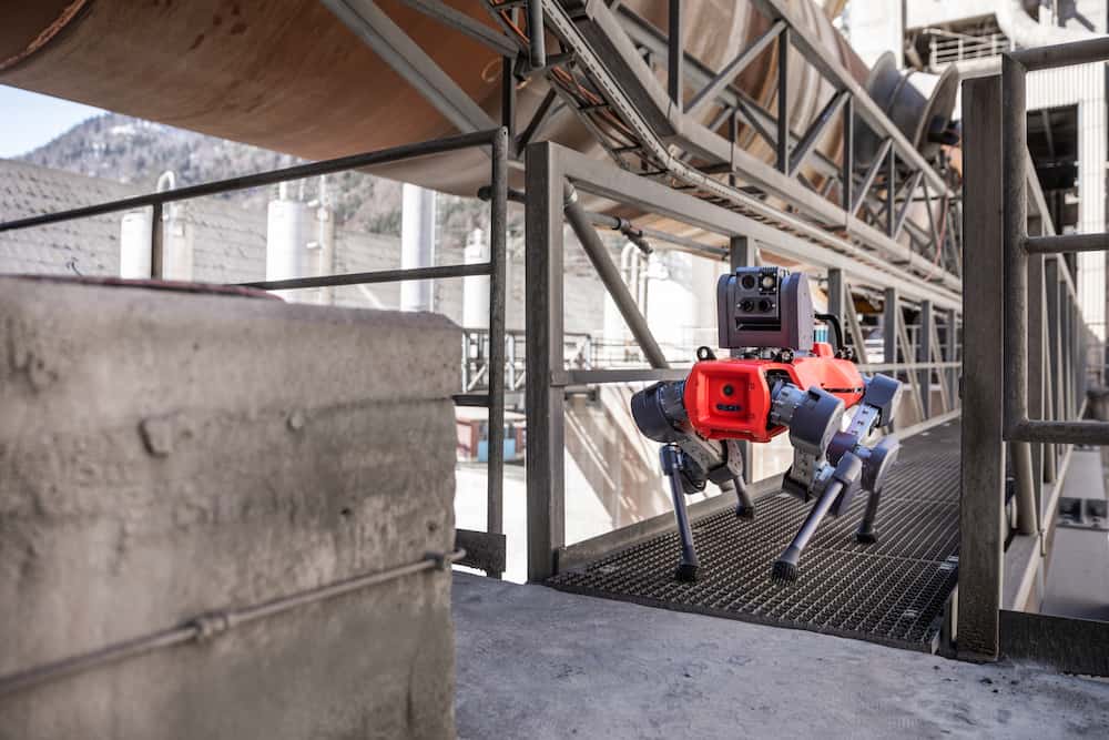
The funds will be used to scale deployments internationally, fuel the development of new capabilities, and solidify ANYbotics' position in robotic inspection solutions
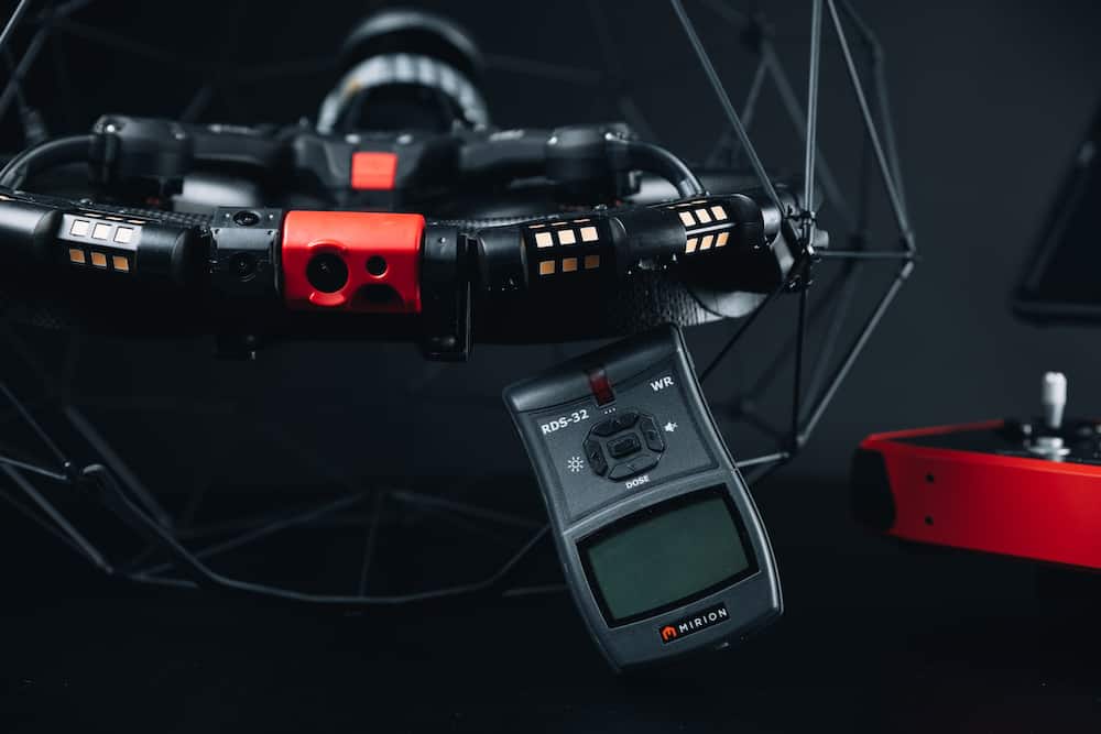
Combining Mirion Technologies’ RDS-32 meter with the LiDAR of Flyability’s Elios 3 drone allows users to map the environment while collecting radiological data to then localize data in a high-resolution 3D model of their asset
The new FAA waiver allows Percepto to operate drones BVLOS, close to structures without ground-based systems, providing scalability for the industry and cost-savings for customers
International customers can now download the AerologixFly app to access the patented Aeropath technology software, which offers an automated flight solution for inspecting vertical asset structures
With gNext, ALDOT will be able to manage its construction projects and inspections, monitor progress, and visualize change-over-time through 3D and 2D analysis
The Inspired Flight and Phase One P3 integration solution enables complete camera control and the ability to write GNSS data directly on the image for photogrammetry and inspection applications
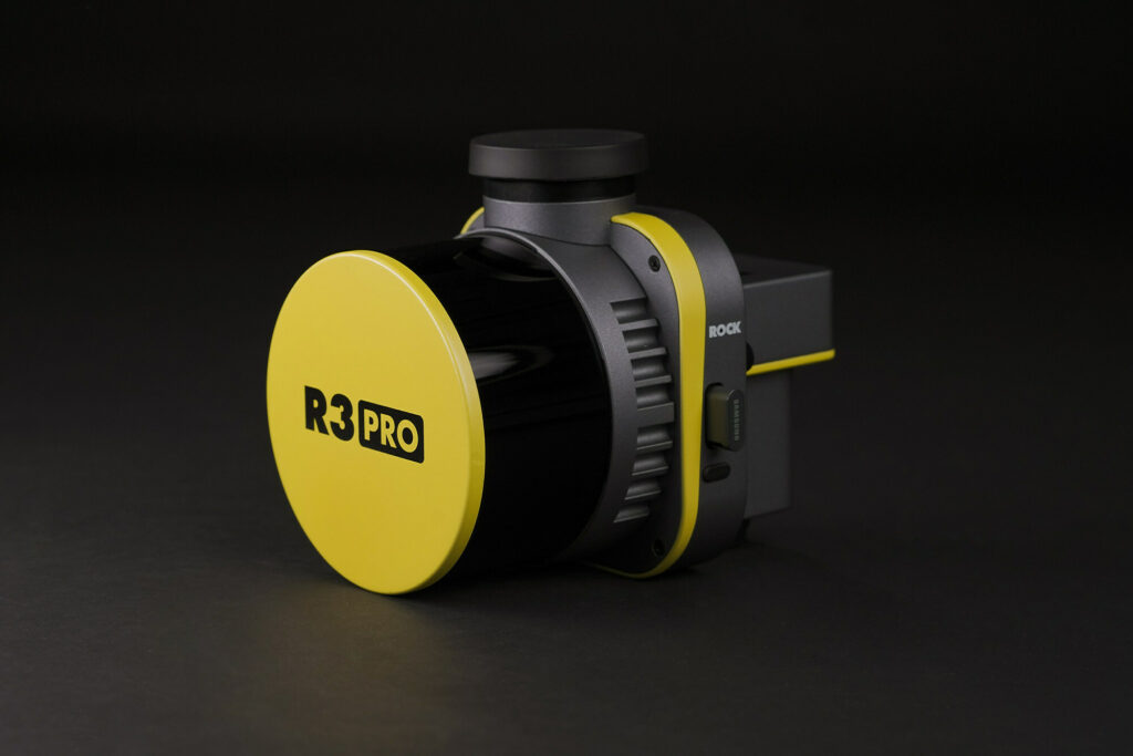
ROCK Robotic’s R3 and R3 PRO are surveying tools designed to capture unprecedented, accurate 3D LiDAR and photogrammetry data for commercial land surveyors and mapping professionals
A Memorandum of Understanding signed by Saildrone and Seabed 2030 outlines a shared commitment to leveraging technological innovation to make bathymetric data available to the global community
Advancing Unmanned Systems Through Strategic Collaboration
UST works with major OEMs to foster collaboration and increase engagement with SMEs, to accelerate innovation and drive unmanned systems capabilities forward.