Manifold Robotics collaborated to make an EMF sensing system for UASs, enabling them to detect the presence of lines and estimate their distance for automated collision avoidance
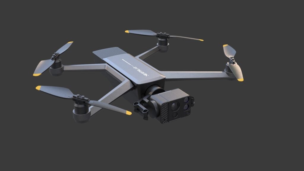
Nearthlab's AIDrone combines the power of Artificial Intelligence (AI) with drone technology to assist a wide range of tasks across various industries, including infrastructure inspection, renewables, and public safety
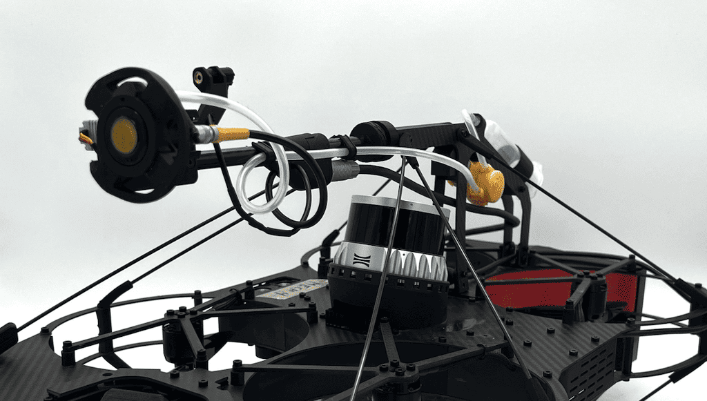
Inspired Flight Technologies and Gremsy have partnered on a new thermal imaging payload for the IF800 Tomcat drone, providing unprecedented capabilities in aerial imaging & surveillance
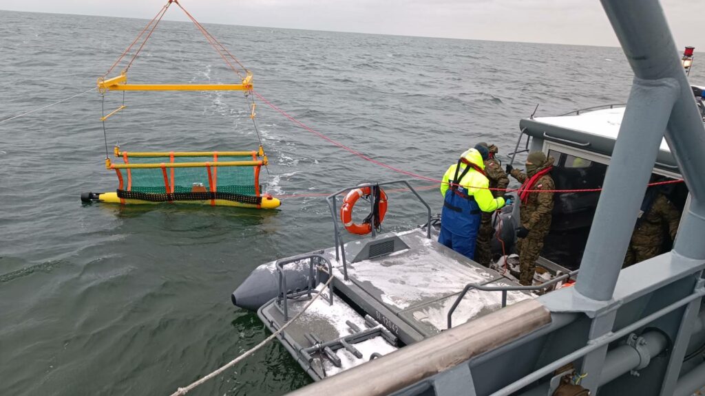
The SeaBat T20-S Multibeam Echosounder (MBES), delivering high-resolution bathymetric data, will be instrumental in the Polish Navy's critical underwater infrastructure inspections, a crucial aspect of modern seabed warfare
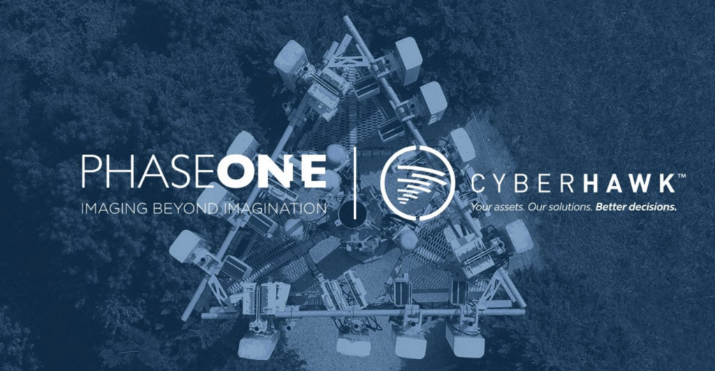
Through a Global Partner Agreement, Cyberhawk and Phase One will continue to bring the highest standard of industrial inspections to customers using the P3 iXM100 payload
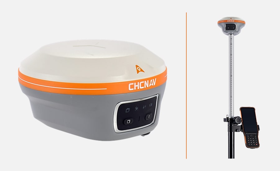
The transformative move for CHC Navigation (CHCNAV) includes a shift from the classic blue to a vibrant orange color for its GNSS receivers, symbolizing a commitment to cutting-edge technology
The integration of LINIA's automated flight route software with Xer Technologies' X8 unmanned aerial vehicle (UAV) platform significantly enhances the efficiency and productivity of drone-based inspections
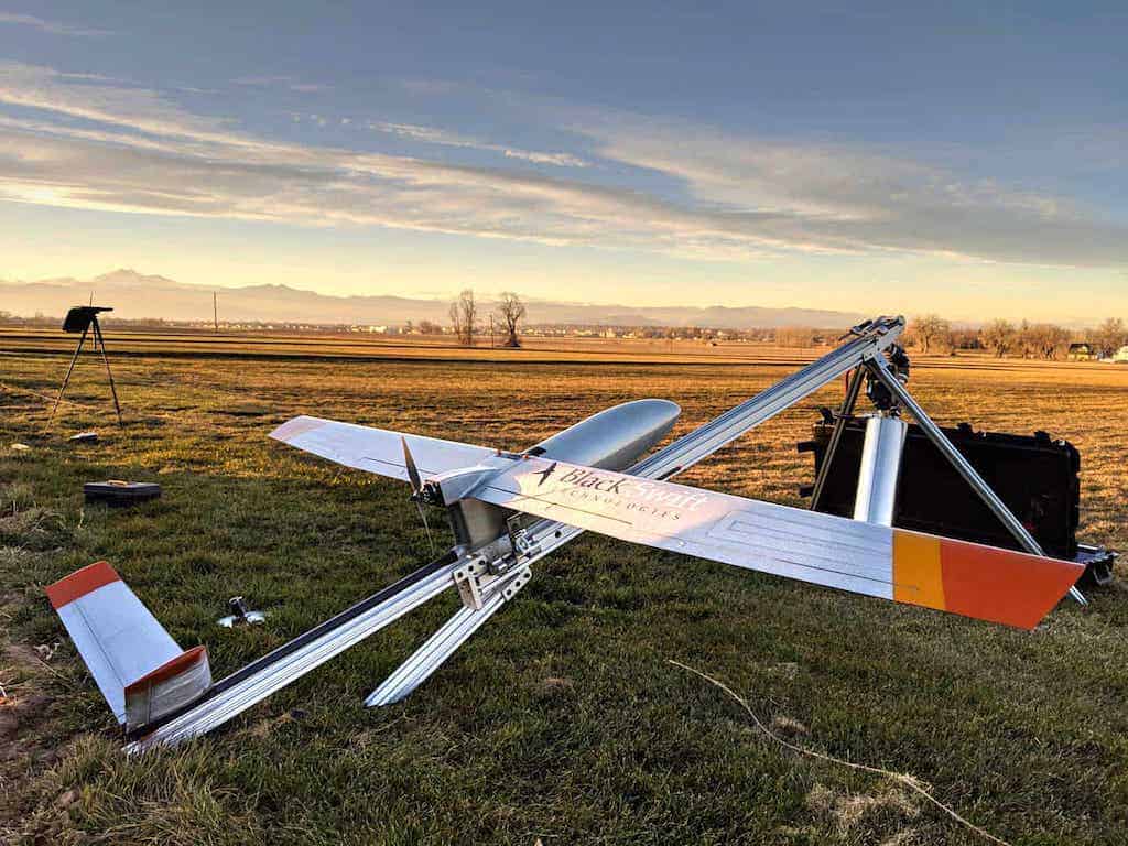
Black Swift Technologies and Orbital Micro Systems will use UAVs and radiometer soil moisture sensing solutions to scan soil moisture and integrity of potential landing strips
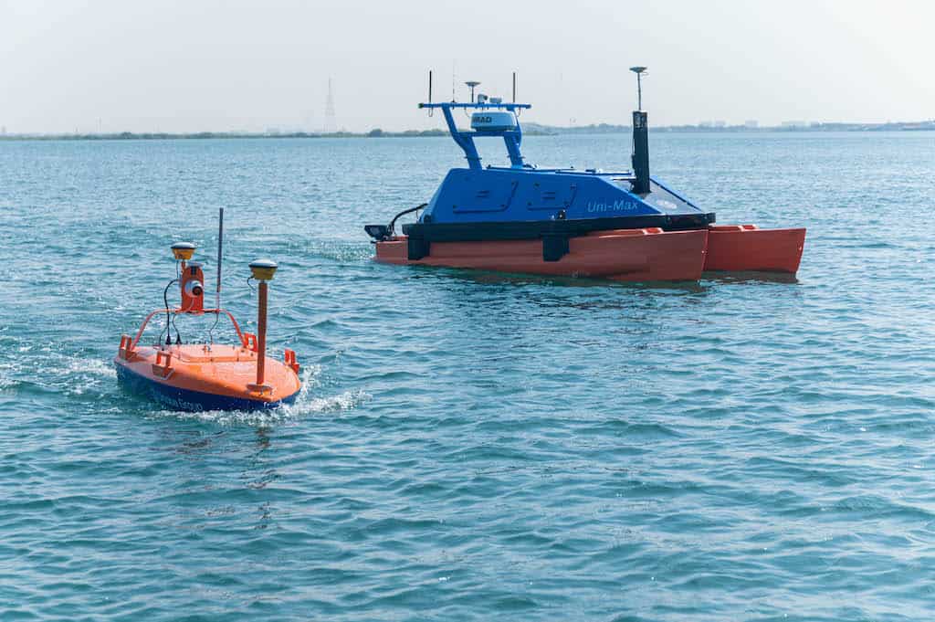
The Uni-Max uses a Hybrid Power System, including a diesel tank and solar PV cells, while the Uni-Mini is an economical, lightweight vehicle operated by just two people
The EverClean robot is packed with features like depth aided navigation, smarter obstacle avoidance, improved maneuvering, and enhanced user interaction capabilities
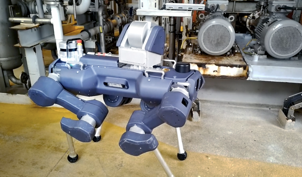
Petrobras aims to qualify the ANYmal X robotic inspection solution and automate its operational routines, inspections and enhance asset monitoring capabilities
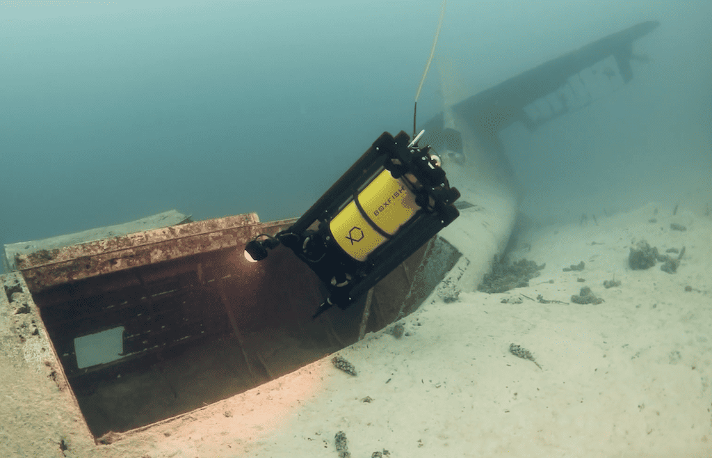
Oceanbotics’ SVR-8 includes state-of-the-art imaging sonar, doppler velocity log, seamlessly integrated SubNav OS software, and a cutting-edge USBL system
EGS Australia’s integration of Videosoft Global’s adaptive video compression and transmission protocols will advance remote operations in hydrographic and geophysical survey sectors
A UTM option for the Scout 137 Drone System be an efficient add-on to maintain safety, accelerate project completion and improve data coverage of visual and steel plate thickness data of large assets
As future regulations standardize beyond visual line of sight and autonomous operations, Volatus will collect and process drone data and perform analytic reporting services for T&D towers
ELWAVE’s CEDAR Technology is the company’s patented biomimetics active electrics technology, and will be deployed in the company’s new active electrics sensor Octopulse
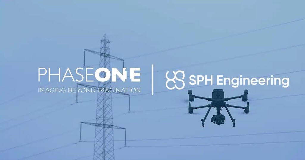
Phase One and partner SPH Engineering will use advanced cameras to capture precise details of structures such as power lines, cell towers, wind turbines, and more
Advancing Unmanned Systems Through Strategic Collaboration
UST works with major OEMs to foster collaboration and increase engagement with SMEs, to accelerate innovation and drive unmanned systems capabilities forward.