The ecoSUB camera system ecoCAM has been designed to provide extremely high-quality video and still images while fully integrated into the ecoSUBm5-Power+ AUV system
The Ouster OS0-128 Rev 7 will enable safe, centimeter-accurate scans of hard-to-reach areas, supporting Flyability’s mission to keep people out of hazardous environments
Velos Rotors has tested a new payload for the Velos V3, the RIEGL VQ-840-GL, a fully integrated, compact airborne laser scanner for combined topographic and bathymetric survey
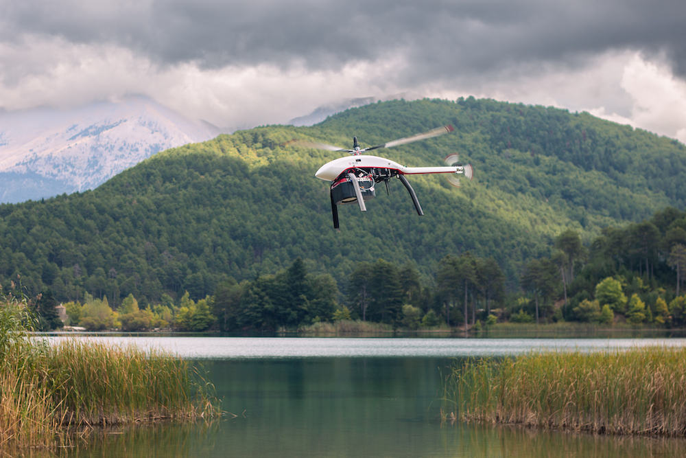
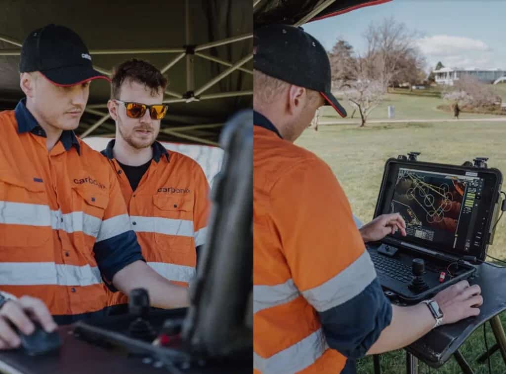
Carbonix and Skyports Drone Services aim to enhance the capabilities of Carbonix’s drone systems and improve operating procedures, and ultimately build operational capabilities
The merging of REVOLUTION Remotely Operated Vehicle (ROV) with the Discovery Camera opens new horizons for industries including marine research, defense and security, and infrastructure inspection
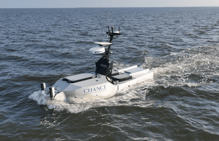
Chance Maritime Technologies has received three National Oceanic and Atmospheric Administration (NOAA) contracts with a total potential value of $22.5 million
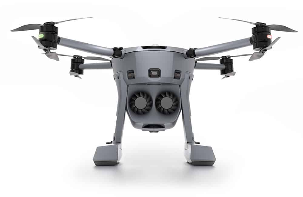
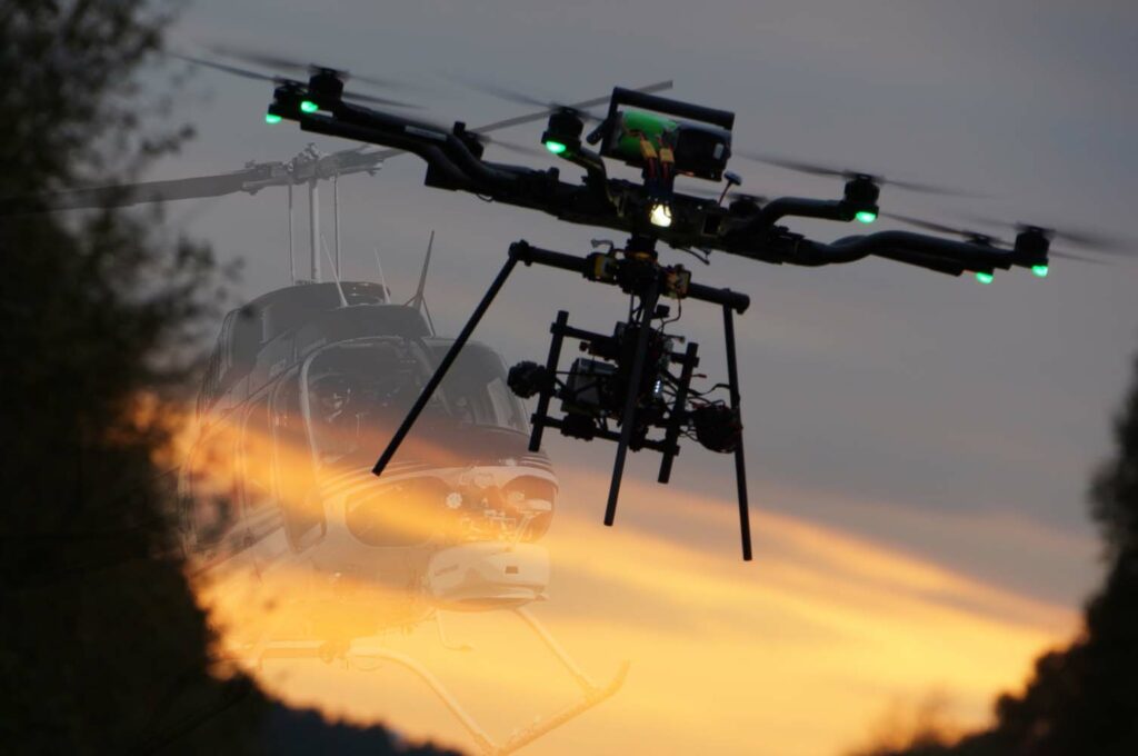
The X8 by Xer Technologies is a heavy-duty, coaxial-rotor, hybrid-electric drone with a 2.5 hr flight time carrying a 3kg payload, ideally suited to harsh environment applications, including search and rescue, disaster response, and BVLOS inspection, find out more at DroneX, Intergeo and Milipol
The configurable ZEPHR USV platform will have a high resolution multibeam echosounder as its primary payload, with the capability to mount additional sensors such as LiDAR and cameras
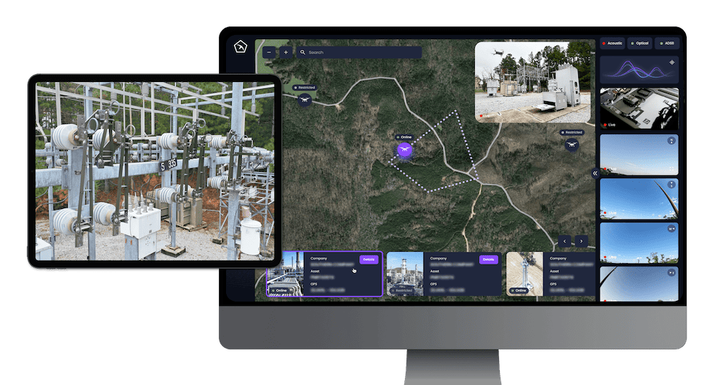
gNext Labs presentation at the IHEEP Conference in Salt Lake City will discuss the transformative integration of drone technology and Artificial Intelligence (AI) as a supplementary tool in the inspection of infrastructure assets
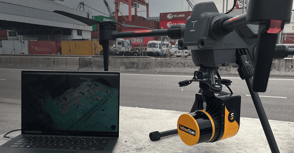
Professional integrated UAV LiDAR solutions developer YellowScan will be exhibiting and providing live demonstrations at Commercial UAV, DroneX, Intergeo, UAV Show, and GoGeomatics Expo
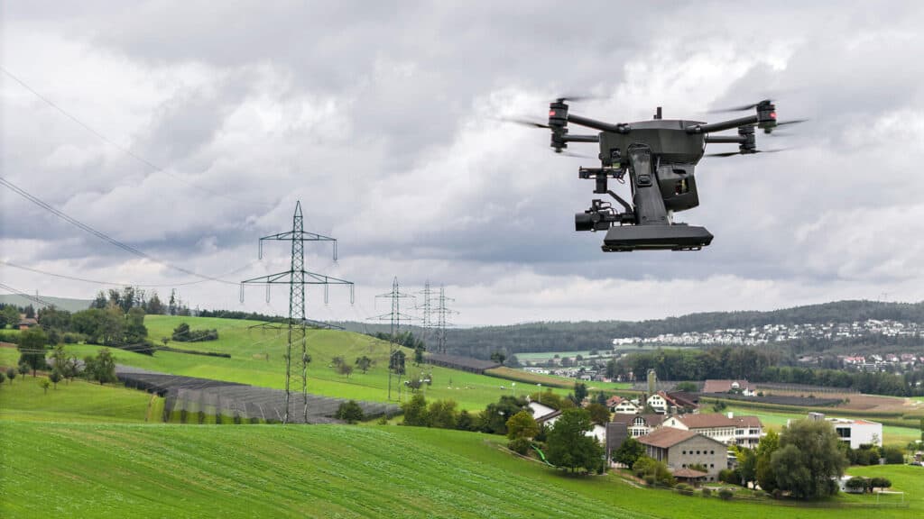
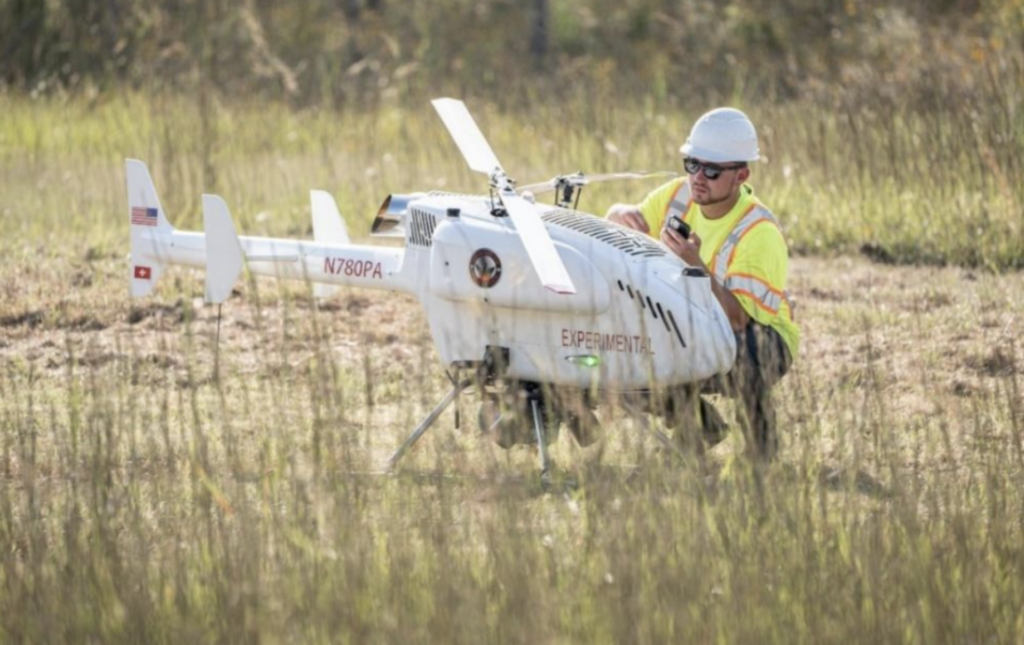
Phoenix Air Unmanned has received commercial authorization to operate its SwissDrones SDO 50 V2 helicopter unmanned aerial vehicle (UAV) for beyond visual line of sight (BVLOS) powerline inspections and patrol
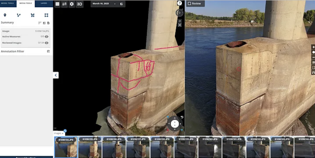
The partnership will provide customers with tools to address construction management and progress monitoring, project turnover documentation, and post-construction condition monitoring through inspections
The Sony a6100 Oblique camera is seen as a revolutionary addition to the Marlyn Cobalt drone, combining Sony's 24MP a6100 with a Meike 12mm lens, providing a solution for cost-effective and lower-resolution surveying
Geodata is a fundamental part of the building information modelling (BIM) process - The BIM Days Germany event is being held in parallel with INTERGEO 2023 at the exhibition grounds, 10 to 12 October 2023, Messe Berlin
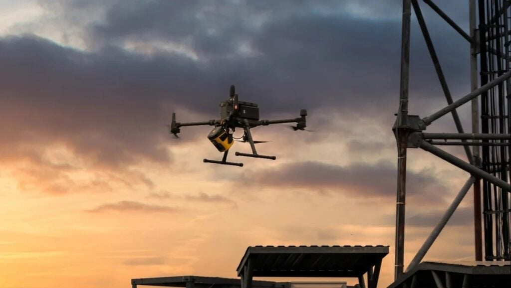
Contract win and partnership announced between MissionGO and Sharper Shape, designed to streamline UAS inspection data collection and workflow management
This contract with Huntington Ingalls represents an expansion of its work with the US Navy to increase the speed and quality of maintenance cycles for surface ships, including amphibious assault ships
With a flight endurance of up to 2 hours, an operational range of 100km and a data transmission range of up to 30km, the RANGER P2X is designed for surveillance and mapping applications
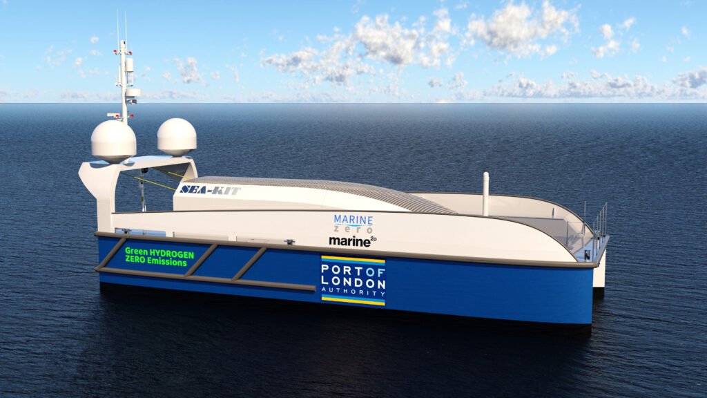
The contract consists of approximately two months of subsea inspection time and is believed to be one of the largest awarded contracts of its kind to date worldwide
The partnership between Monterey Bay Aquarium Research Institute (MBARI) and 3D at Depth aims to create the next generation of subsea lidar technology that can generate detailed high-resolution maps of underwater features
This partnership with GDU Tech will enable the companies to offer more comprehensive solutions to customers and widen the spectrum of industrial solutions
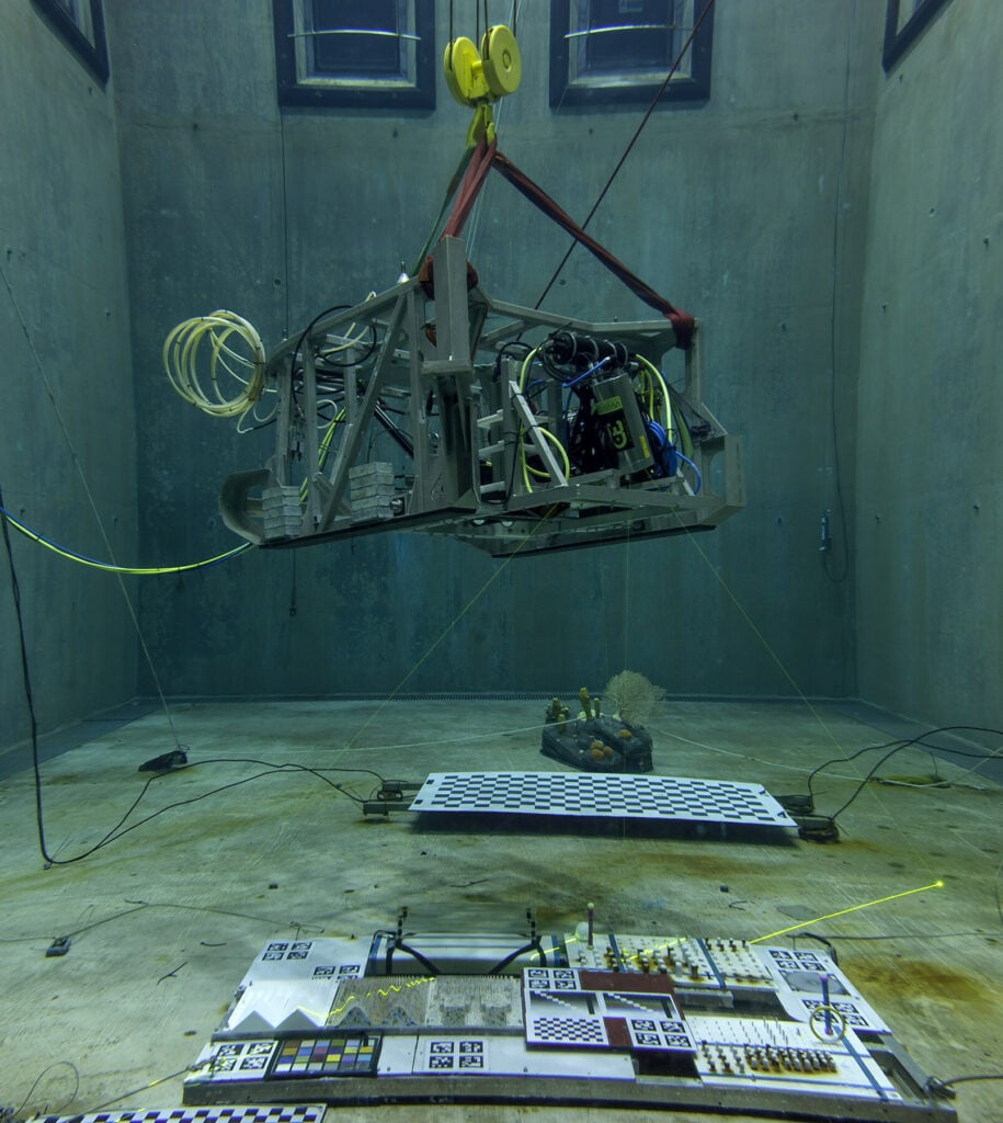
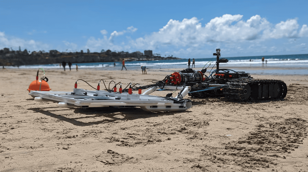
The UXO survey demonstrated the power and flexibility of Greensea’s OPENSEA software to rapidly integrate and deploy a new sensor suite for the task while showcasing the capabilities of the Bayonet 250 AUGV
Advancing Unmanned Systems Through Strategic Collaboration
UST works with major OEMs to foster collaboration and increase engagement with SMEs, to accelerate innovation and drive unmanned systems capabilities forward.