Voyis’ new Discovery product line delivers a new level of situational awareness to ROV operations, achieving both high resolution video and real-time 3D perception for piloting, inspection, and autonomy applications
Austal Australia and Saildrone will manufacture the Saildrone Surveyor in Australia for deep ocean mapping and ISR applications, above and below the surface
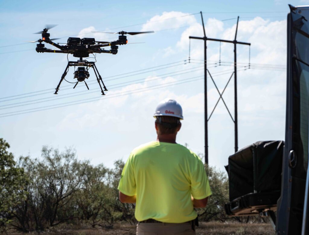
The addition of SSI positions Volatus Aerospace as one of the leading suppliers to power utilities in Canada and the US, with more than 10,000 structure inspections already underway and under contract for 2023
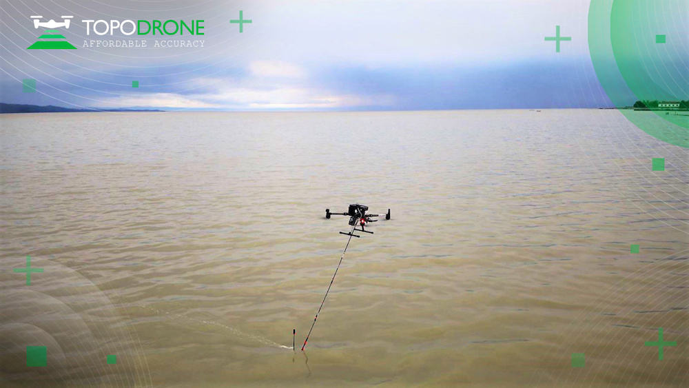
RASA Surveying’s approach synchronizes current photogrammetry and LiDAR practices with the bathymetric data collection capabilities of the TOPODRONE AQUAMAPPER
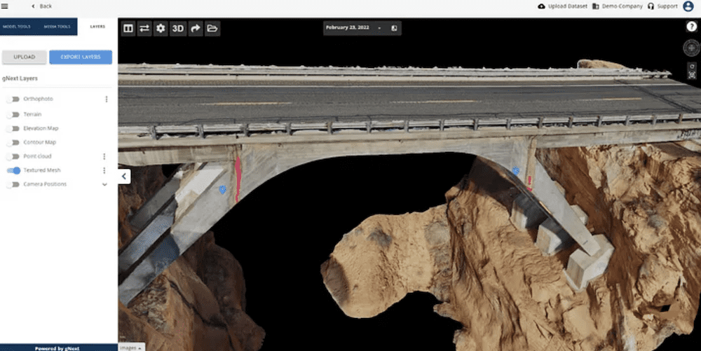
gNext and Skydio have partnered to enable automatic upload of inspection drone flight media to the gNext platform, via the Skydio Cloud, without relying on manual uploads
To meet the growing demand for advanced data-collection capabilities at sea, Saildrone has developed the 33-foot Voyager for near-shore ocean mapping and maritime security missions
With zero emission hydrogen propulsion, the Merlin autonomous surface vessel has a shallow draft of 1.6m enabling it to perform various survey missions and make port in small or large harbors across the US
In collaboration with the National Offshore Wind Research and Development Consortium, Anduril Industries’ Dive-LD AUV will be used to inspect an existing export power cable from Block Island to Point Judith, Rhode Island
The European Maritime Safety Agency will use Tekever’s AR5 unmanned fixed wing aircraft, equipped with optical and infrared cameras, a maritime radar, an AIS receiver and an emergency position-indicating radio beacon antenna
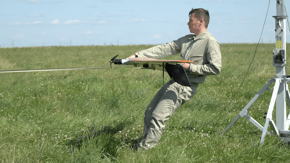
UAVOS used a solution based around its fixed-wing Borey UAS with a multispectral sensor payload designed to provide both spatial and temporal resolution for better understanding of soil moisture levels
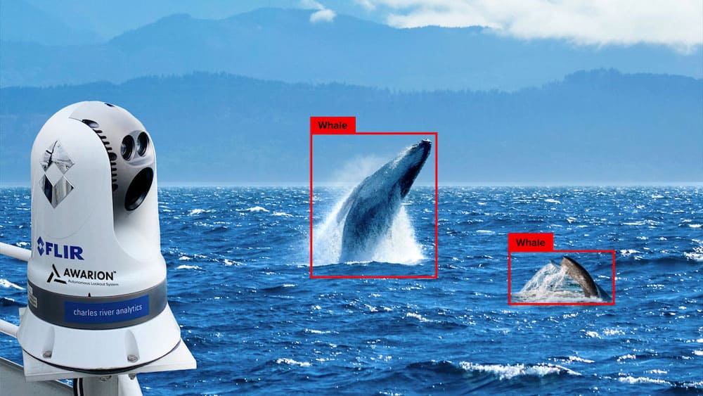
As part of the Vineyard Wind 1 project, Charles River Analytics is providing its Awarion artificial intelligence and computer vision technology to help detect marine mammal, ship, and fishing gear
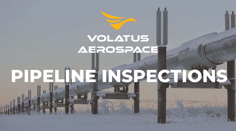
Volatus Aerospace subsidiary, Canadian Air National Inc., has signed a contract worth up to C$5 million to extend its oil and gas pipeline corridor surveillance in Ontario over the next three years
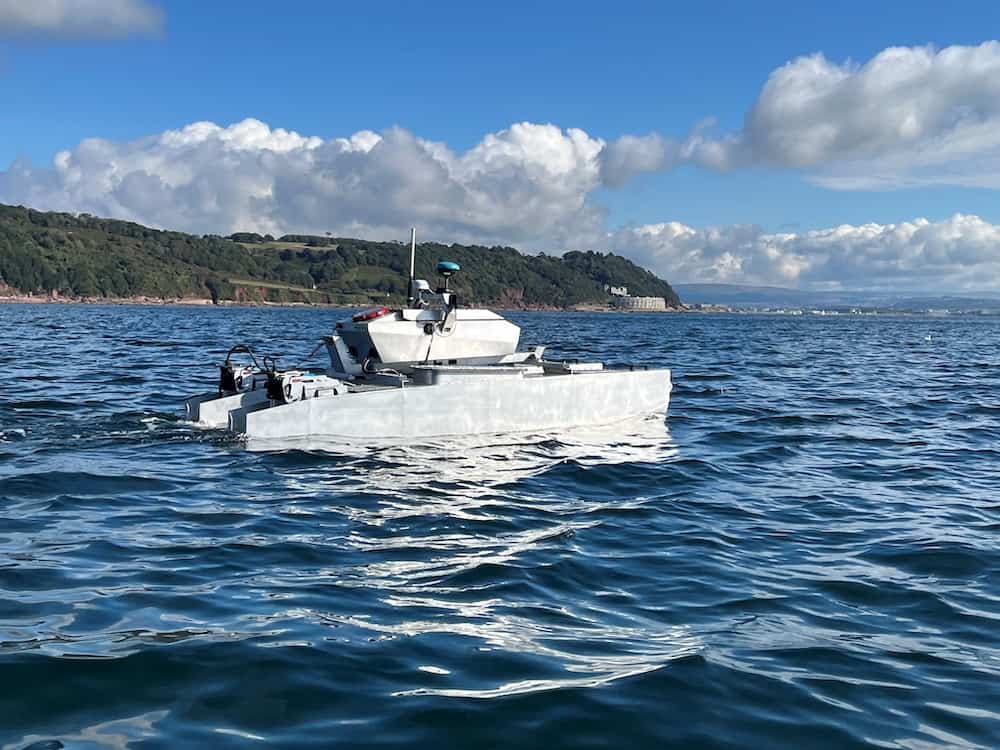
HydroSurv’s fully electric USV platform will deliver seagrass monitoring using an Acoustic Ground Discrimination System coupled with video and environmental data collection from hull-mounted and underwater sensor arrays
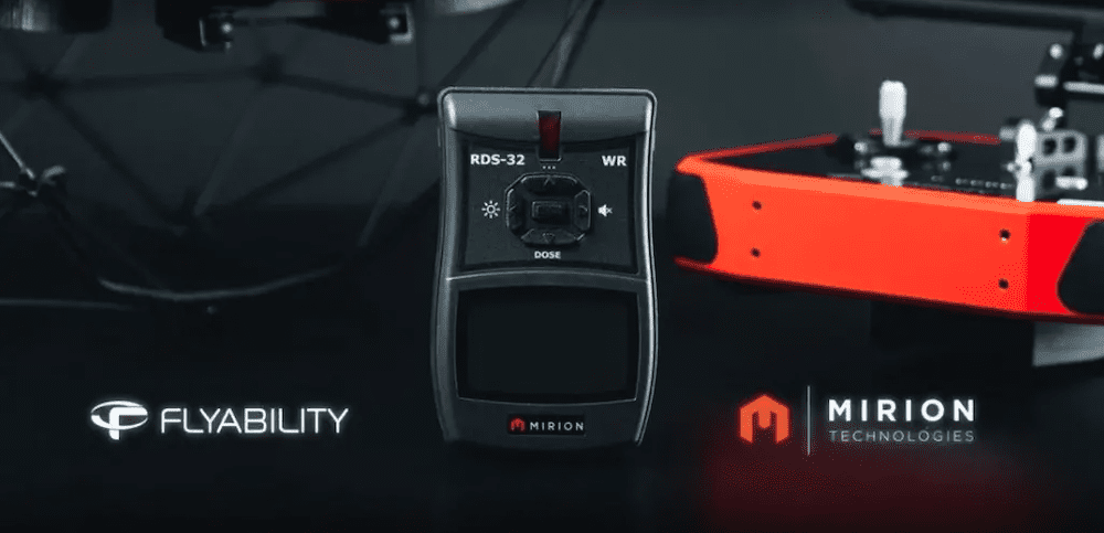
Integrated into Flyability’s Elios 3 indoor drone, the Mirion RDS-32 radiation survey meter can collect accurate radiation data remotely, allowing nuclear personnel to remain safely outside of irradiated areas
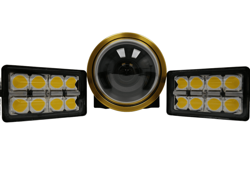
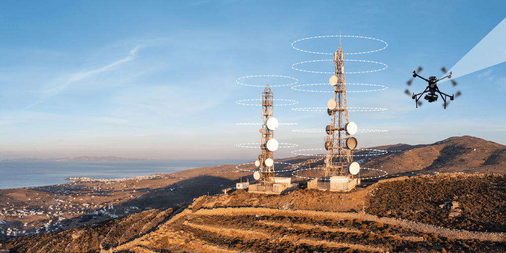
Visual Intelligence’s MACS-3DTM dual-sensor drone payload is equipped with two Sony Alpha 7R IV cameras that have been specialized for tower data collection
Percepto’s automated drone-in-a-box technology has been approved by Transport Canada as part of a pilot project conducting BVLOS inspection of electric power stations
Visitors are encouraged to visit the company at Geo Week in Denver, February 13-15, for a first-hand look at the single-source mapping solutions and workflows available
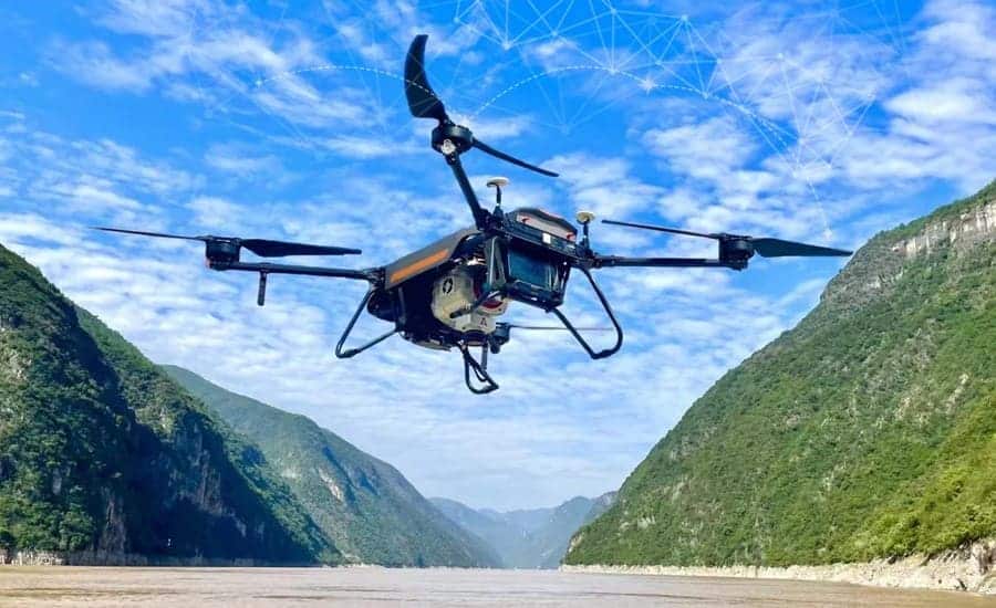
The new mode for tracking power lines by SENSYN ROBOTICS, analyzes the shooting data in real-time and automatically adjusts the shooting angle based on line sag, keeping the power lines within the onboard cameras field of view
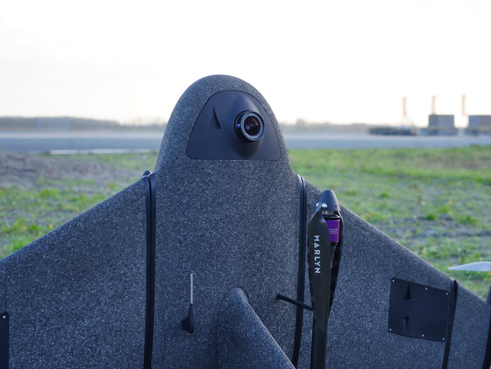
The Sony α7R mark III and IV cameras will provide Atmos Marlyn Cobalt drone users with increased coverage and accuracy and the ability to map an area of 210 hectares with centimeter-level accuracy in a single flight
Advancing Unmanned Systems Through Strategic Collaboration
UST works with major OEMs to foster collaboration and increase engagement with SMEs, to accelerate innovation and drive unmanned systems capabilities forward.