


Fixed-Wing Mapping Drones
Discover cutting-edge solutions from 4 leading global suppliers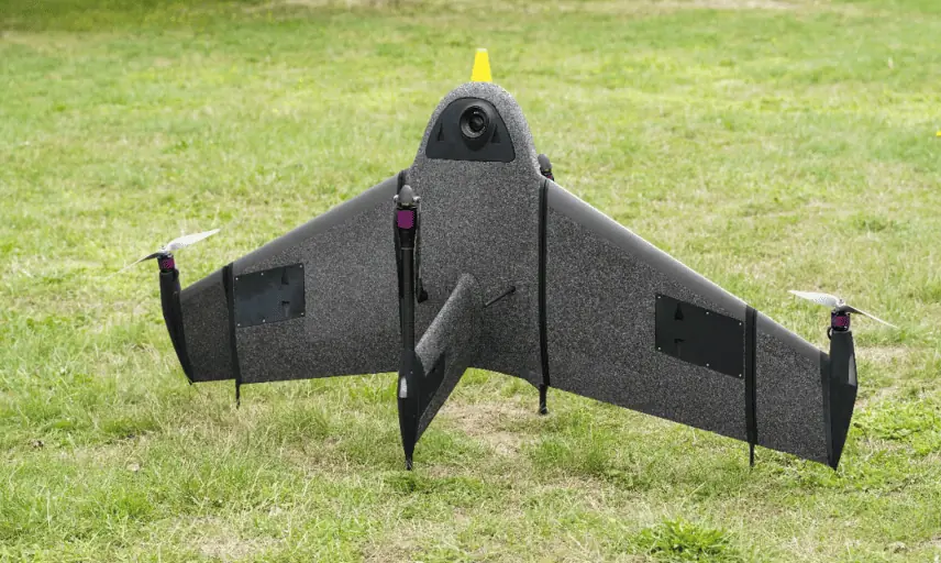
Atmos UAV has integrated the new Sony a6100 Oblique camera into its flagship surveying drone, Marlyn Cobalt.
According to Atmos, this strategic partnership with Sony further solidifies its commitment to providing state-of-the-art solutions to professionals in the geospatial mapping and surveying sectors.
The Sony a6100 Oblique is said to be a revolutionary addition to the Marlyn Cobalt, which combines Sony’s 24MP a6100 with a Meike 12mm lens, providing a solution for cost-effective, lower-resolution surveying, and producing fantastic 3D models for urban surveys.
Competitive Pricing
One of the primary advantages of the Sony a6100 Oblique integration is its competitive pricing. As the entry-level cousin to the workhorse a7RIV 61MP camera, the a6100 comes in at a 20% lower price point, whilst still managing a respectable 4cm [1.5in] GSD at 400 feet. This allows professionals to access high-quality imagery without breaking the bank.
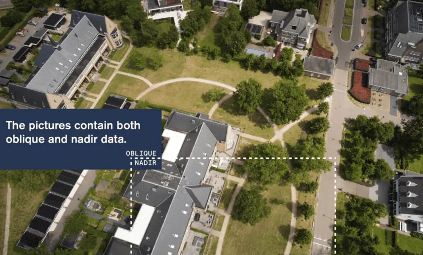
Unmatched Oblique Information for Urban 3D Mapping
The 12mm wide angle lens, and fixed angled mounting empowers the a6100 Oblique to capture a high quality of data on vertical surfaces, allowing for a comprehensive view of urban environments during 3D mapping missions. This feature significantly enhances data collection efficiency and improves the accuracy of 3D models, giving surveyors and urban planners unparalleled insights for their projects.
Expanded Coverage with Exceptional Resolution
With the integration of the ‘Sony a6100 Oblique’ camera, the ‘Marlyn Cobalt’ now boasts an impressive 350-hectare coverage at 400 feet. This means that surveyors can efficiently cover vast areas in a single flight, reducing operational time and costs. The resulting ground sampling distance (GSD) of 4cm at that altitude ensures high-resolution data acquisition, delivering sharp and detailed images for precise analysis.
See it in Action
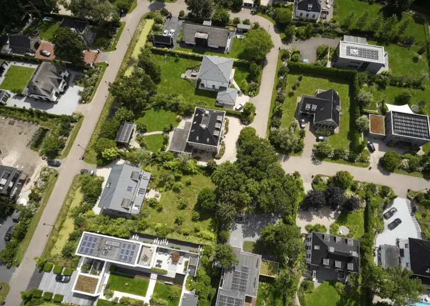
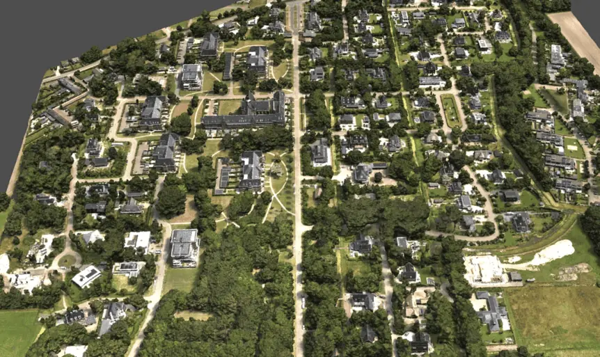
To showcase the outstanding quality of the urban mapping capabilities, including the 3D information that can be gleaned from vertical surfaces, we invite you to explore the dataset below. This map was surveyed by one of Atmos’ customers, enabling them to identify and inspect the built and natural environment (houses, treetops, etc.) through different processing ways in the town of Sancta Maria in the Netherlands for urban planning purposes.
The Images & Geotags, plus the impressive completed Point Cloud can be viewed here. A sneak preview of the finished render can be seen below.
“We are thrilled to collaborate with Sony and introduce the Sony a6100 camera to our Marlyn Cobalt drone,” said Ruud Knoops, Atmos UAV CEO. “This integration reflects our ongoing commitment to meeting the evolving needs of professionals in the geospatial industry. The Marlyn Cobalt has always been designed to deliver unparalleled performance, and with the a6100 on board, our customers can achieve even greater success in their surveying and mapping endeavors.”


