


Drone LiDAR
Discover cutting-edge solutions from 4 leading global suppliers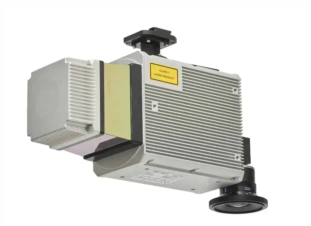
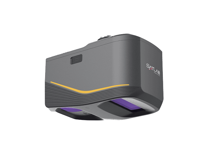
Teledyne Geospatial has released the Optech CLS-A, a new survey-grade UAV LiDAR and camera system. The Optech CLS-A enables high quality surveying and inspection applications where the tight integration of a powerful, narrow beam divergence laser, high accuracy IMU, calibrated camera and powerful post-processing software provide for efficient wide area collection at the allowable regulation limits for UAV operation.
The Optech CLS-A integrates the CL-360XR LiDAR scanner with 0.3-mrad beam divergence, 360-deg field of view, and survey-grade precision and accuracy. The CL-360XR enables the collection of topographic LiDAR data from 120m agl or higher through vegetated and varied elevation terrain. The LiDAR is paired with a calibrated 80-degree field of view digital global shutter camera that enables colorization and high-resolution inspection. Data collected with Optech CLS-A, ALTM Galaxy, and Lynx systems can be simultaneously processed through a common workflow within Optech LMS Professional.
The CLS-A can be easily integrated onto a variety of UAV platforms depending upon the user’s preference. The integration can be completed with as little as power, an isolated mechanical mount, and a GNSS Antenna.
The system is engineered to deliver high quality results for applications such as hard-surface engineering surveys, electricity vegetation management, topographic surveys, corridor monitoring, roads/pavement, railway, forestry, construction, mining, and archeology.
“We are very excited to announce Teledyne Geospatial’s first LiDAR solution that delivers survey-grade data from a UAV platform,” said Mark Treiber, Product Manager, Autonomous Solutions at Teledyne Optech. “The Optech CLS-A fits effortlessly into ALTM Galaxy and Lynx post-processing workflows to meet the most stringent data quality requirements.”


