


Fixed-Wing Mapping Drones
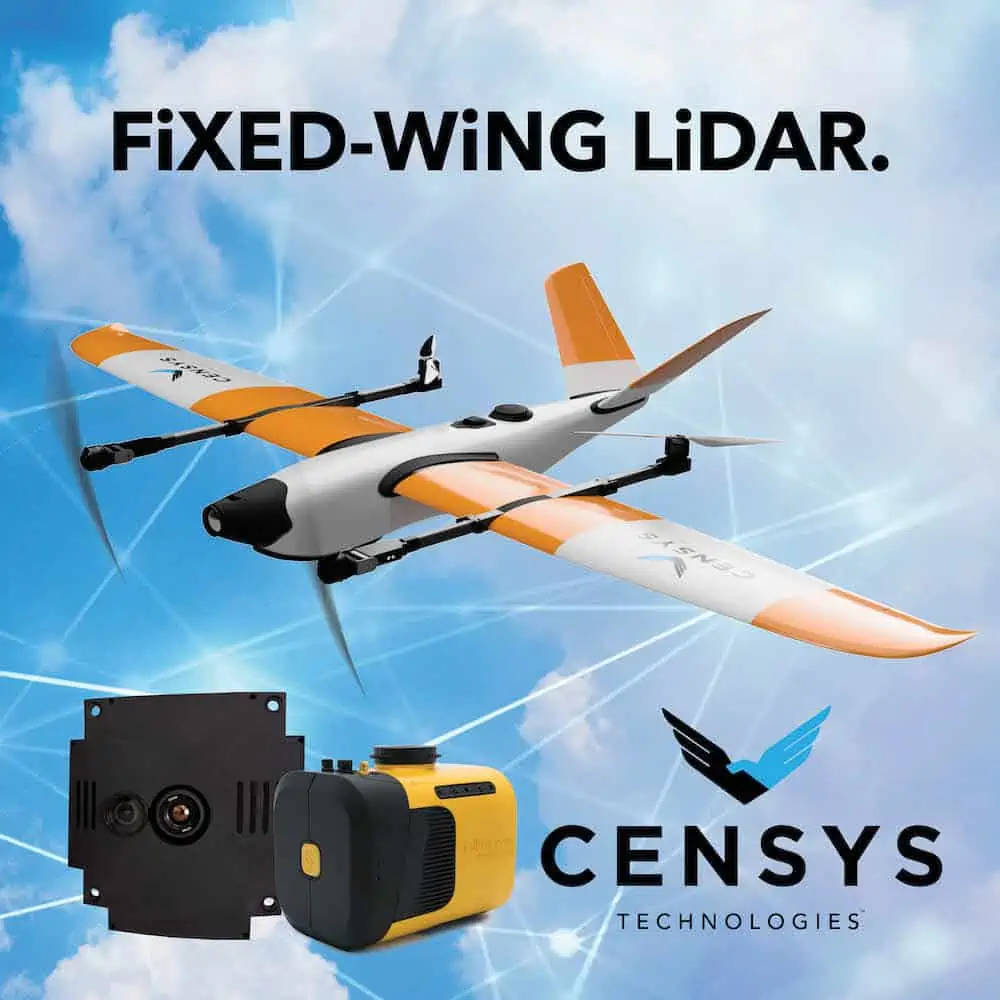
Discover cutting-edge solutions from 4 leading global suppliersCensys Technologies is integrating LiDAR into its Sentaero family of fixed-wing Beyond Visual Line Of Sight (BVLOS)-capable Vertical Take-Off and Landing (VTOL) aircraft.
Light Detection and Ranging (LiDAR) is a remote sensor camera payload that uses pulsed laser light for 3D mapping. The LiDAR measures the time it takes that reflected laser light to return to the receiver after bouncing from the ground and measures the intensity of the pulses to provide readings of the terrain and points on the ground. This technology is useful for land surveying, power line inspection, topographic surveys, forestry and wildfire mitigation, precision agriculture, and mining.
In a single flight, fixed-wing drones carrying a LiDAR payload have a system precision of 2.5 centimeters and system accuracy of 3 centimeters at 100 meters above ground level.
“In a fixed-wing VTOL with a history of BVLOS approvals, this is a huge addition to the Sentaero line,” said Censys Technologies CEO and Co-Founder, Trevor Perrott. “We’ve been working hard to integrate LiDAR over the past year to fill customer needs, and now operators who had been chained to quadcopters have a new option to do more.”
Censys anticipates deliveries of the LiDAR payloads to customers in August 2022.


