



HP | MJF for Unmanned Systems
WOLF Advanced Technology
Leading Suppliers in United Kingdom

Drone Inspection Services and Aerial Imaging Suppliers in United Kingdom

Category Presented by Blue Nose Aerial Imaging

Discover United Kingdom-based suppliers of Drone Inspection Services and Aerial Imaging

Suppliers: Drone Inspection Services and Aerial Imaging

1 Leading Supplier
Grid List
Filtered by:
Drone as a Service (DaaS) by ZenaDrone

Drone as a Service (DaaS) | Professional Drone Services for Aerial Data Collection

Browse suppliers by country
Showcase your capabilities

If you design, build or supply Drone Inspection Services and Aerial Imaging, create a profile to showcase your capabilities and connect with visitors who have an active requirement for your solutions.

Create Supplier Profile

Products

4 Cutting-edge Solutions
Add your solutions
Land Surveying
Land Surveying

High-accuracy drone surveying services for property mapping & land development

High-accuracy drone surveying services for property mapping & land development
DaaS drone-based land surveying services are ideal for commercial, industrial and residential...
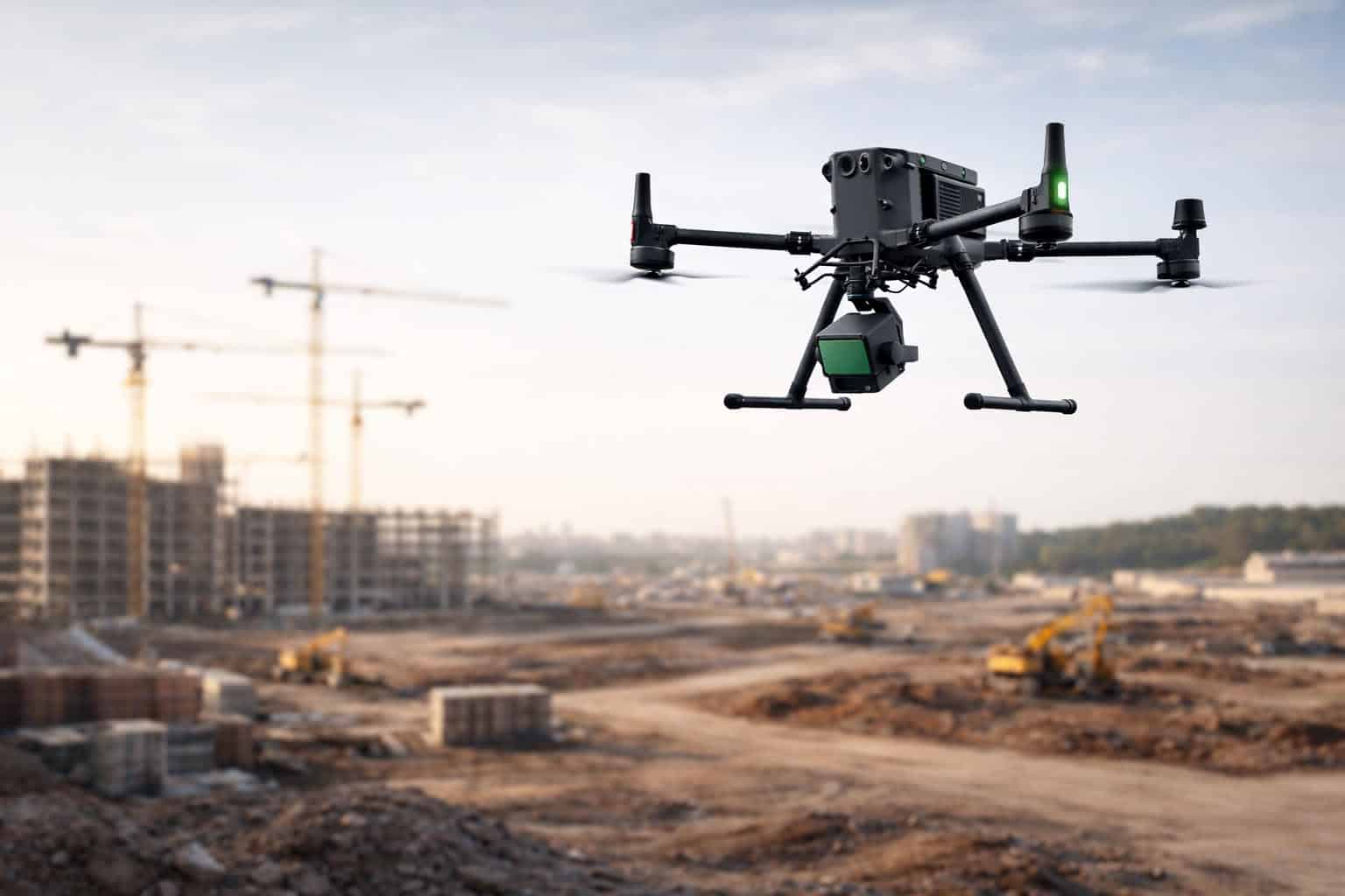
Construction Management

Track construction progress and document projects

Track construction progress and document projects
DaaS drone services allow engineers, architects, and construction personnel to gain a comprehensive...
Golf Course & Racecourse Management

Drone services for grounds management, events and marketing

Drone services for grounds management, events and marketing
...e insights and aerial intelligence for more effective management, maintenance planning, and upkeep....
Precision Agriculture

Drone-based aerial analytics for optimized management and increased yields

Drone-based aerial analytics for optimized management and increased yields
DaaS drone services allow agricultural professionals to take advantage of cutting-edge technology...

Related Articles

Multi-Year Agreement Expands Drone Inspection Services to Offshore Wind

Ondas' subsidiary Cyberhawk has secured a multi-year agreement covering drone inspections across SSE's electricity networks, offshore wind turbine inspections, and continued iHawk support

Oct 09, 2026
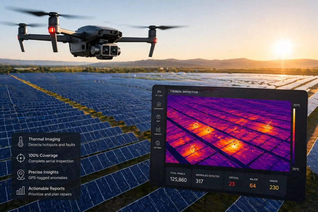
Thermal Drone Technology for Large Scale Solar PV Inspections

Blue Nose Aerial uses thermal drone technology to deliver faster, safer and more comprehensive solar PV inspections, helping operators detect faults and optimize asset performance

Sep 07, 2026
Q&A: Scaling Drone Operations & Advancing Aerial Data Intelligence

Tanner Harris, Founder & Managing Member of Blue Nose Aerial Imaging, discusses scaling nationwide drone operations and using thermal imaging and LiDAR to improve inspection safety, efficiency, and asset management

Jun 08, 2026
Construction Site Drone 3D Scanning for Progress Tracking & Quantity Measurement

Drone as a Service by ZenaDrone examines how aerial 3D scanning improves construction progress tracking, quantity verification, and site accuracy through photogrammetry, LiDAR, and survey-grade data collection

May 29, 2026
Drone Enabled Inspection & Monitoring for Renewable Energy Infrastructure

Drone as a Service by ZenaDrone outlines how drone-based inspection improves safety, reduces downtime, and enhances monitoring across large-scale renewable energy infrastructure

Apr 30, 2026
Drone Data Analytics Enhances Renewable Energy Operations

Drone-as-a-Service by ZenaDrone outlines how drone data analytics transforms aerial data into actionable insights, enabling predictive maintenance, improved safety, and greater operational efficiency across renewable energy assets

Apr 08, 2026
Drone-Based Aerial Data Collection Services for Professional & Enterprise Applications

Drone as a Service's end-to-end offerings are highly scalable and can be tailored to suit a wide range of project requirements

Mar 25, 2026
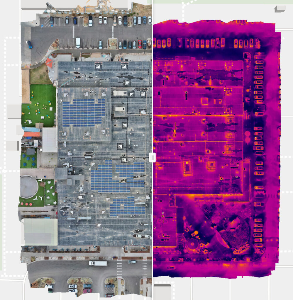
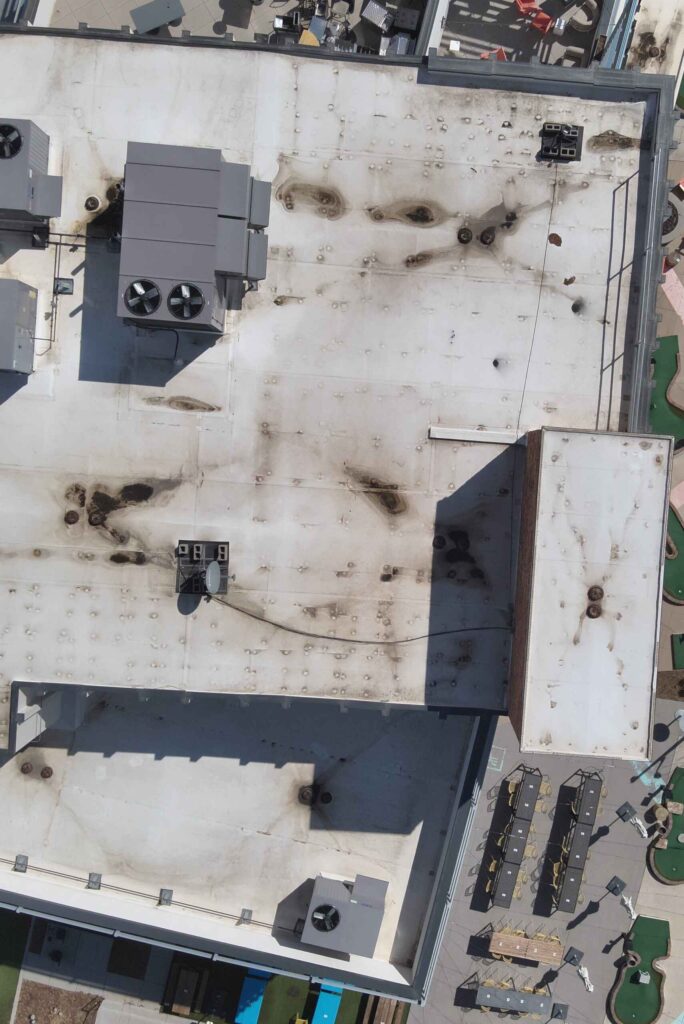
Blue Nose Aerial Imaging Highlights the Benefits of Drones for Commercial Roof Inspections

Blue Nose Aerial Imaging explains how drone technology enables safer, faster, and more cost-effective commercial roof inspections, providing detailed aerial imagery and data collection without requiring inspectors to physically access rooftops

Mar 16, 2026
Blue Nose Aerial Imaging Delivers Clear Irrigation Mapping in Ventura County

Blue Nose Aerial Imaging highlights how drone-based aerial mapping provides Ventura County growers with clear visual insight into irrigation performance, helping identify uneven watering patterns and reduce nitrogen movement below the root zone

Mar 04, 2026

THE WEEKLY eBRIEF

The latest unmanned systems news, straight to your inbox.

Get our weekly roundup of technology developments, new products and industry news.

By subscribing, you agree to receive the weekly UST eBrief newsletter from EchoBlue Ltd. Unsubscribe at any time using the link in every email. See our Privacy Notice.

Advancing Unmanned Systems Through Strategic Collaboration UST works with major OEMs to foster collaboration and increase engagement with SMEs, to accelerate innovation and drive unmanned systems capabilities forward.