Ground Control Stations, Camera Gimbals & ESCs for UAVs
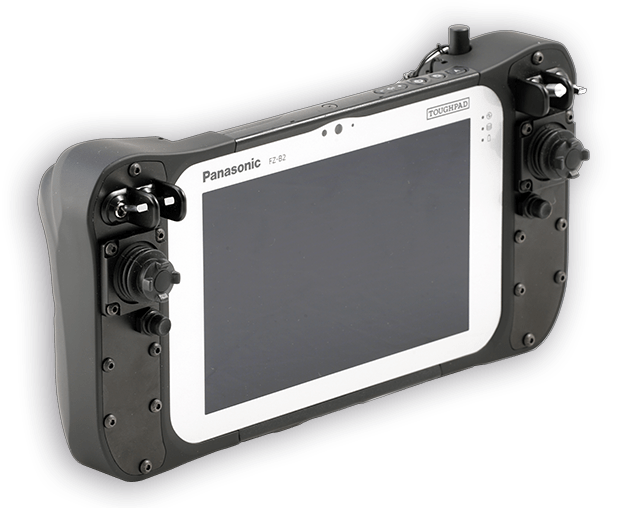
UXV's products for systems integrators are highly customizable and can be specifically fine-tuned to exact requirements




Category archive
Page 146
UXV's products for systems integrators are highly customizable and can be specifically fine-tuned to exact requirements
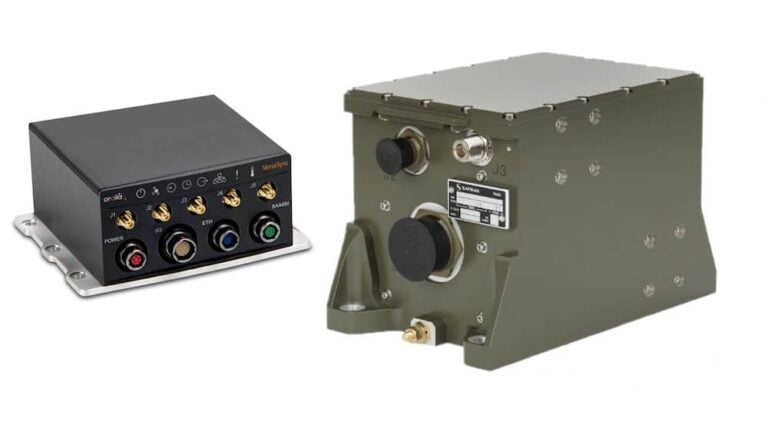
Through this partnership with Orolia, Safran Electronics & Defense will offer a complete and cohesive set of resilient Positioning, Navigation and Timing (PNT) architectures and equipment
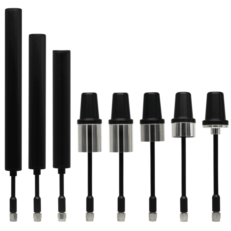
MP Antenna's products provide robust and reliable wireless communications in challenging environments
Improvements include color enhancement, low slant angle detection/tracking improvements, zoom lens controls, and additions to the company’s AI Classifier training model
Integrating Iris Automation’s Casia Detect and Avoid (DAA) system with Sagetech’s MXS ADS-B transponder via its ACAS X sensor fusion and collision avoidance module provides a complete DAA air risk mitigation solution
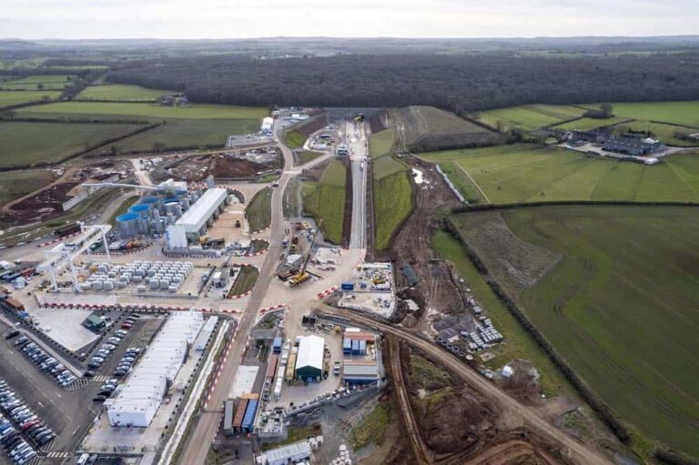
Balfour Beatty VINCI (BBV) has adopted drone software from Esri UK to reduce costs and enhance safety on its 90km stretch of the HS2 high speed railway
These new funds will be used to help the company transition from a UAS company to an airborne intelligence company
The company received a $135 million fundraising round, co-led by Baillie Gifford and Bill Gates with participation from multiple new and existing investors
A new integration between Phase One and Trimble Inpho Suite will simplify the process to transform raw images into final mapping products
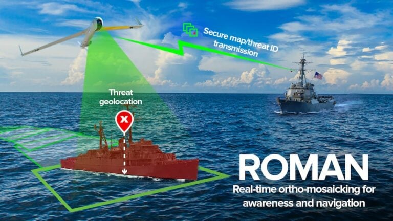
Charles River Analytics is creating ROMAN (Real-Time Ortho-Mosaicking for Awareness and Navigation), a set of software components for creating real-time sea surface maps and detecting maritime objects
The camera is designed to support AI-based embedded vision applications such as autonomous mobile robots
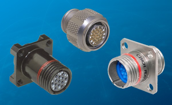
The Mil/Aero Circular MD801 are lightweight, ultraminiature connectors with small form factors and high-density capabilities, ideal for use in UAVs for aerospace, military, and other harsh environment applications
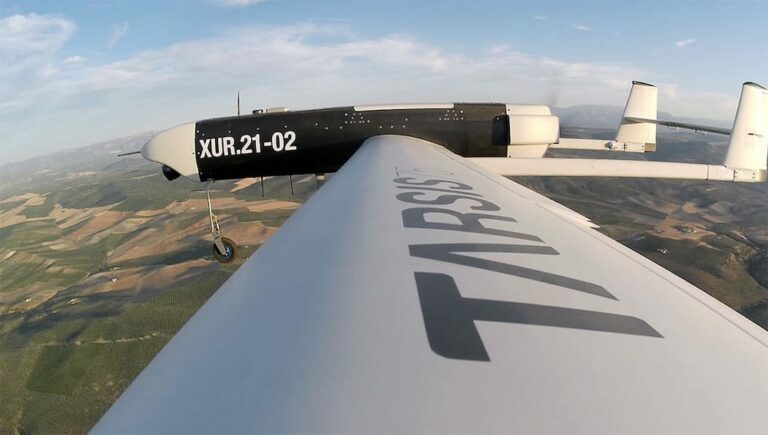
A system has been developed to enable aircraft to autonomously determine Alternative Flight Termination Areas where the risk to third parties can be minimized
The SMART7-I included in the Fastrac iCON tractor is a rugged, waterproof, all-in-one GNSS SMART Antenna designed and tested specifically for the agriculture industry
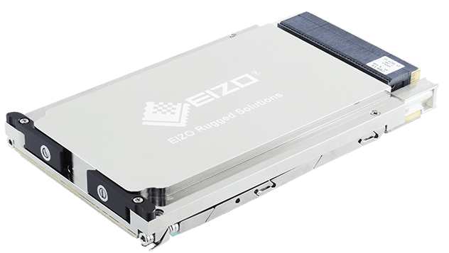
The 3U OpenVPX is based around NVIDIA Ampere architecture and is ideal for ISR and electronic warfare
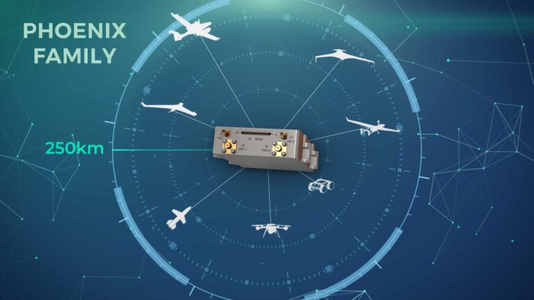
Commtact's low-SWaP Phoenix broadband data links support ISR and tactical engagement missions
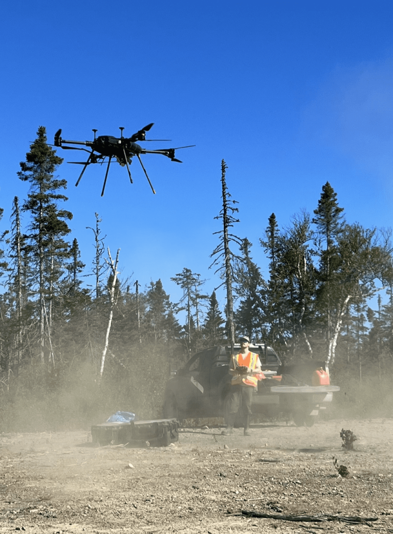
Overhead Intelligence has commenced its Extended Visual Line Of Sight plus Beyond Visual Line Of Sight mission for UAV magnetometer surveys across the entire province of Newfoundland and Labrador
The Flight Stand is available in a 15 kgf and a 50 kgf model to measure thrust, torque, RPM, power, efficiency and more for brushless motors and propellers
The company will visit Mongolia, South Korea, Japan, Myanmar, Laos, Thailand, Vietnam, Cambodia, Malaysia, Philippines, Indonesia, Australia, and New Zealand from July to September 2022
SPH Engineering and GreenValley International align UgCS mission planning software and LiDAR360 data processing software for UAV-based LiDAR surveying
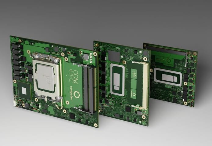
The new modules can be incorporated into passively cooled embedded and edge computing platforms
Odyssey can turn any ship or vehicle in any domain into an intelligent, robotic platform
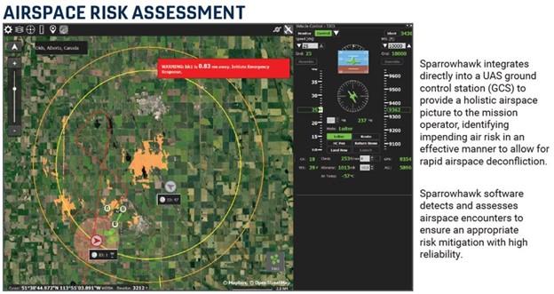
Canadian UAVs’ Sparrowhawk Radar comprises computer vision-based software with ground-based radar and ADS-B to facilitate safe BVLOS UAV operations in Canada
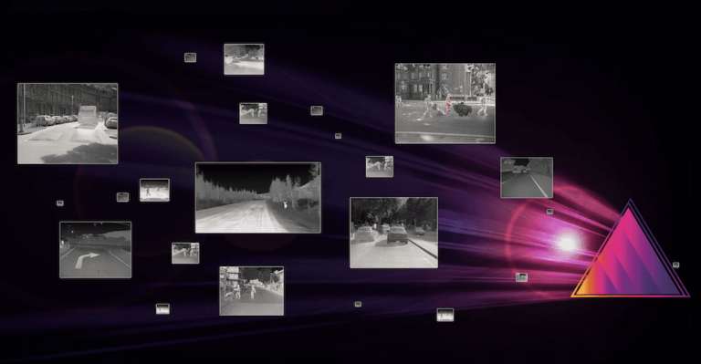
Teledyne FLIR’s Prism AI includes features such as visible-and-thermal image fusion and advanced thermal image processing capabilities that provide superior pedestrian and animal detection in challenging lighting conditions
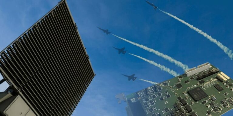
Cambridge Pixel's new card allows testing of tracking and display systems with live data


 Searching Companies & Products