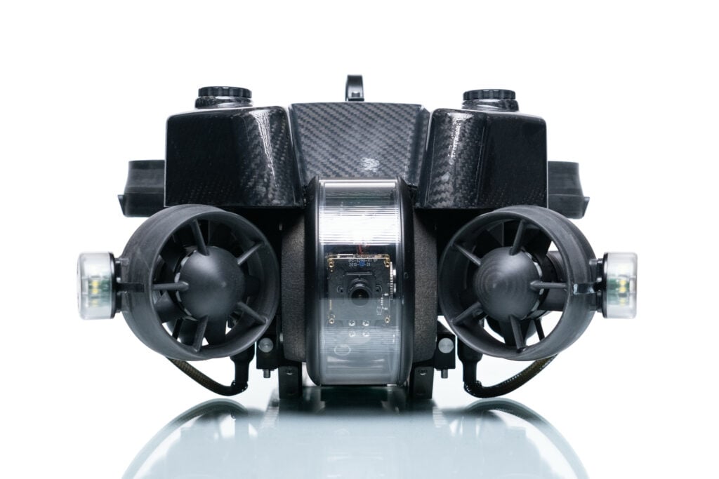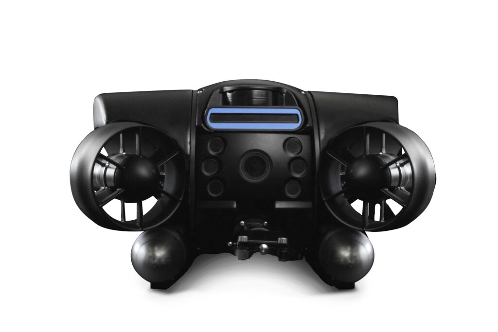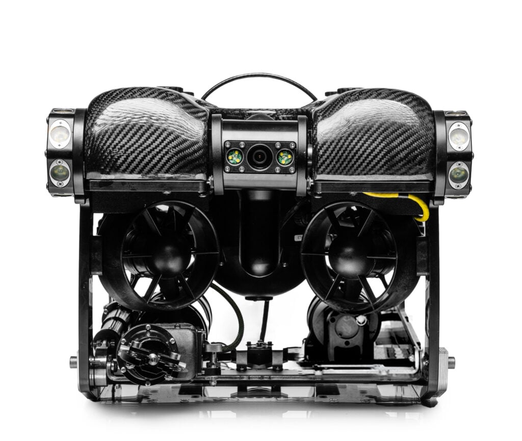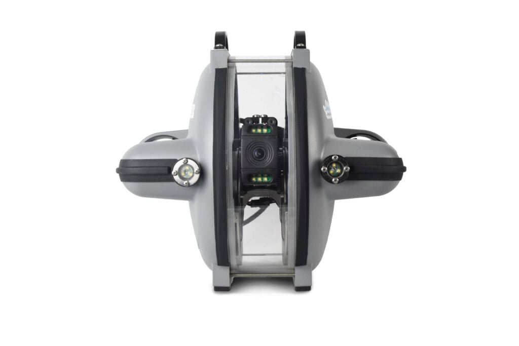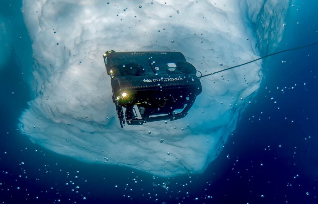
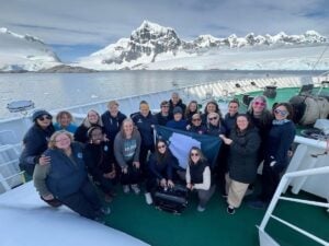
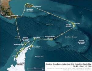
A 24-day Antarctic expedition used the PIVOT ROV from Deep Trekker to collect subsea imagery and scientific observations across benthic habitats, hydrothermal systems, glacier-influenced environments, marine mammal research sites, and submerged maritime heritage locations. Operated by a four-member Submersible Science Team, the observation-class ROV supported an interdisciplinary research program as 22 women explorers from more than nine countries retraced Sir Ernest Shackleton’s historic Imperial Trans-Antarctic route.
The expedition combined underwater robotics with ocean science, geology, hydrography, glacial geomorphology, GIS, and ecological research. Many of the underwater locations surveyed had not previously been documented using video, and the program generated hours of 4K footage from the seafloor and overlying water column.
The resulting datasets are intended to support ongoing analysis of polar marine ecosystems, climate-driven environmental change, and Southern Ocean processes.
Deploying an ROV for Antarctic Field Science
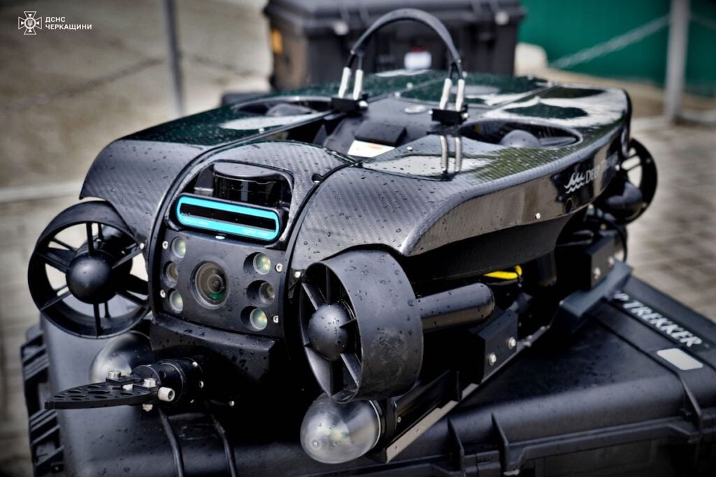
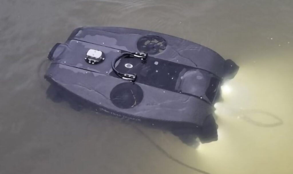
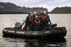
Antarctic subsea operations impose significant constraints on equipment transport, mobilization, deployment, and recovery. For this program, the Deep Trekker PIVOT was operated from zodiac platforms and used for scientific observations covering seabed geology, benthic habitats, the water column, anthropogenic impacts, and interactions between ice and the ocean.
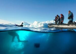
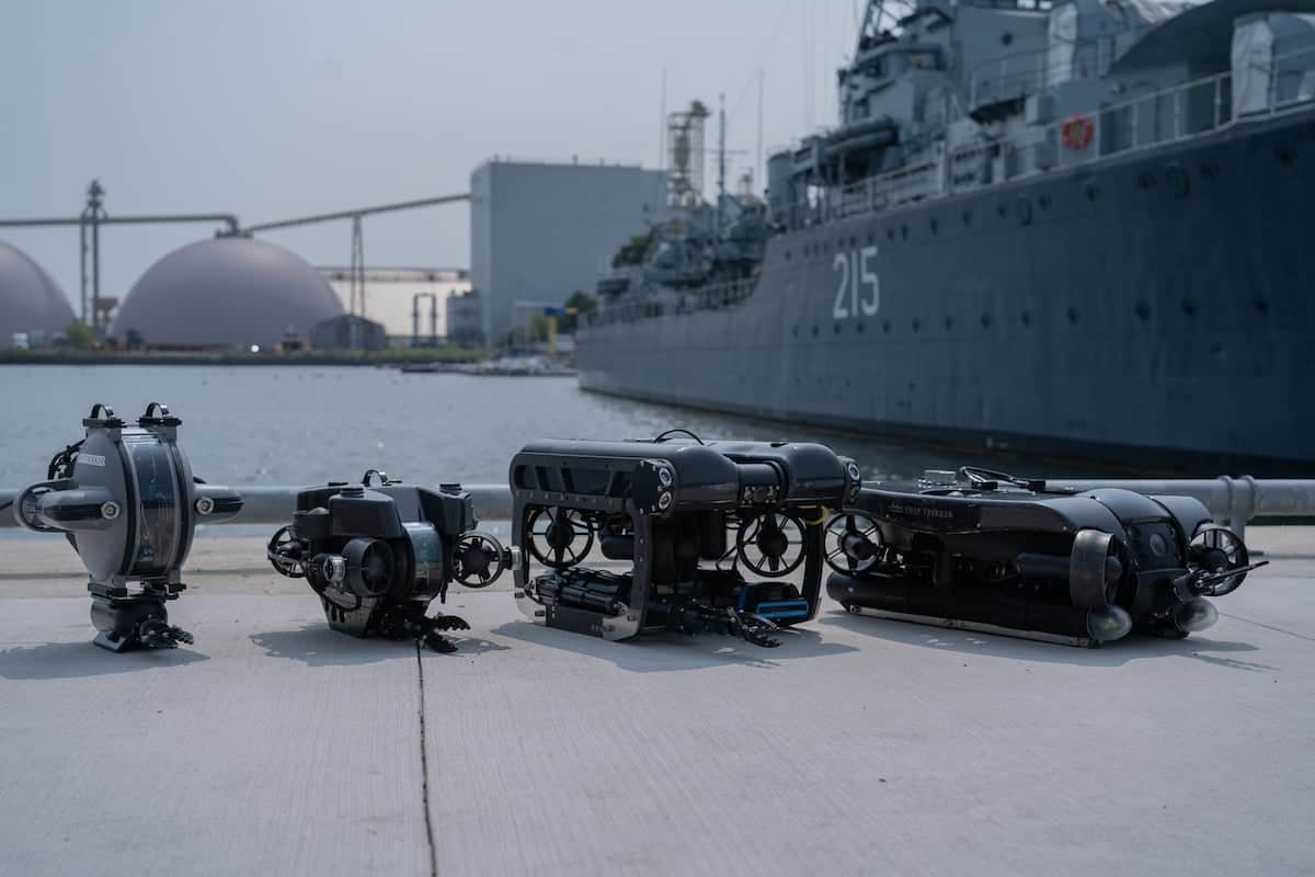
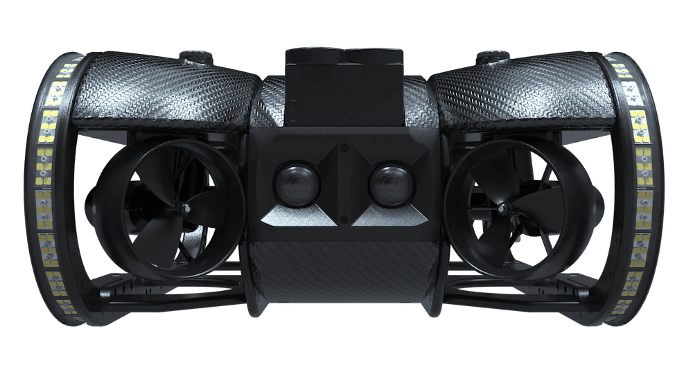
The PIVOT was selected for its portability, reliability, single-operator deployment capability, and suitability for the operational requirements of remote Antarctic fieldwork.
Its compact configuration reduced mobilization requirements, while a removable battery system allowed the ROV to be transported as checked airline luggage. This avoided the cost, complexity, and risk associated with separately shipping specialist robotic equipment to Antarctica.
The system could also be deployed and recovered by a single operator from a zodiac, providing a small operational footprint for work in changing polar conditions.
Deep Trekker supported the team within the expedition’s project timeline, while Erica Moulton of the Center for Open Exploration also assisted the collaboration through her connections within the observation-class ROV community and work to expand opportunities in ROV operations.
An All-Canadian Submersible Science Team
ROV operations were conducted by an all-Canadian multidisciplinary team of women whose expertise covered marine geology, GIS, geomatics engineering, hydrography, glacial geomorphology, and ocean science.
The dedicated ROV team comprised Katie MacIntosh, Lead Hydrographer and Geomatics Engineering Specialist; Moronke Harris, Lead Oceanographer and ROV Pilot; Denise Brushett, Geologist and GIS Lead; and Heather Pearce, Geoscientist and Scuba Diver.
Harris described the operational collaboration, “This was a masterclass in teamwork, trust, leading with initiative in times of uncertainty, expedition logistics, and the power of professional contacts who believe in your dreams.”
The wider expedition was designed to create opportunities for women and gender-diverse participants to lead scientific research and document environmental changes in polar regions. Its model also incorporates education and outreach, building on multiple Arctic expeditions conducted since 2014 and training initiatives that have engaged more than 1,000 participants in ocean science and robotics.
Surveying Antarctic Benthic Habitats
One component of the ROV program focused on documenting Antarctic benthic environments. Visual surveys recorded rich and abundant benthic communities and provided material for examining biodiversity within coastal ecosystems.
The PIVOT’s 4K imaging capability was used to record the seabed and water column, producing visual datasets that can serve as baseline information for subsequent analysis.
Using an ROV also extended the duration and range of underwater observation available to the science team while reducing the need to place divers in environments unsuitable for human operations.
The tethered platform additionally provided a repeatable means of conducting surveys and creating georeferenced visual records for future environmental monitoring and scientific comparison.
Supporting Leopard Seal Research
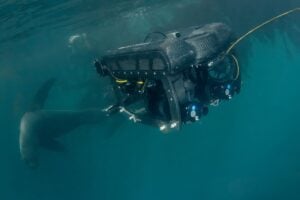
The ROV also contributed to marine mammal observations associated with what the expedition describes as the world’s first leopard seal ethogram study, led by expedition member Sarah Neill.
Remote underwater video complemented in-water observations conducted by the team, providing another perspective from which natural leopard seal behavior could be documented.
Using the ROV extended underwater observation capabilities while reducing the requirement for prolonged close-proximity monitoring of the animals, providing an additional method for wildlife research in the sensitive polar environment.
Hydrothermal Reconnaissance at Deception Island
Hydrothermal vent reconnaissance formed another part of the Submersible Science Team’s program.
At Deception Island, the PIVOT captured video of hydrothermal vent systems. The expedition believes this footage represents the first recorded video from the study area.
The observations establish visual material that can support future investigation of geological and biological processes associated with Antarctic hydrothermal systems.
The hydrothermal work formed part of the broader use of the ROV across marine ecology, geology, oceanography, glaciology, and heritage research during a single field campaign.
Mapping Glacier-Influenced Environments
Contemporary ROV observations were also examined alongside historic mapping to investigate changes in glacier-influenced Antarctic coastal environments.
The research incorporated records from the 1921–1922 Shackleton-Rowett Quest Expedition. Geological sketch maps prepared by geologist George Vibert Douglas covered several areas revisited by the modern expedition and documented geological and glacial features, including glacial landforms and maximum ice extents.
Comparing those historical records with present-day observations provided a basis for examining approximately a century of environmental change.
Researchers documented glacier margin retreat, fresh ridges and boulder fields exposed by retreating ice, newly exposed seabed features, new lagoons in areas previously covered by ice, and changes in coastal morphology consistent with long-term glacier retreat.
These observations were considered in the wider context of a warming Southern Ocean and the sensitivity of polar coastal ecosystems to changing ice cover, ocean temperatures, and glacial dynamics.
Documenting Submerged Whaling Heritage
The PIVOT was also deployed to investigate and position historic whale bone deposits associated with industrial whaling activity during the late nineteenth and early twentieth centuries.
These submerged sites provide both archaeological and environmental evidence of historical human activity in the Southern Ocean.
ROV documentation enabled the expedition to record locations beneath the water and place them within the wider historical context of Antarctic maritime activity. The work also provided a means of examining sites that form part of the region’s record of past anthropogenic impacts.
Connecting ROV Data with GIS
Geographic Information Systems provided the spatial framework for connecting field observations, historical records, ROV imagery, and expedition operations.
GIS workflows were used to support operational planning and interpretation, while also helping researchers understand relationships between individual observations and their wider Antarctic geographical context.
Through a partnership with Esri Canada, the expedition used ArcGIS Online and ArcGIS StoryMaps to combine maps, photographs, video, historical information, and field observations.
These tools provided a way to organize the expedition’s material geographically and convert scientific datasets and contextual information into interactive visual narratives for research communication, education, and public engagement.
Alex Miller, President of Esri Canada, described the role of mapping in communicating the findings, “Maps are a universal language that transcend borders, cultures and backgrounds, making it possible for people everywhere to understand and engage with complex scientific discoveries visually.”
Integrating Underwater Robotics with Polar Research
Across the expedition, the Deep Trekker PIVOT provided a common observation platform for research spanning benthic ecology, marine mammal behavior, hydrothermal systems, glacier-influenced environments, water-column observations, and maritime heritage.
Its compact deployment footprint and removable battery system addressed transportation and mobilization constraints, while single-operator launch and recovery supported operations from zodiac platforms. The ROV’s 4K imaging capability provided detailed visual records for biological observations, benthic surveys, glacial investigations, and heritage documentation.
ROV operations also reduced the need for personnel to enter unsuitable underwater environments and allowed longer-duration underwater observations than would otherwise have been practical for divers.
Combining these capabilities with GIS, historical expedition records, and expertise across multiple scientific disciplines allowed the Submersible Science Team to collect related datasets within a single Antarctic field campaign.
The expedition demonstrates how a compact observation-class ROV can be incorporated into multidisciplinary polar fieldwork, providing subsea observations that can subsequently support environmental comparison, mapping, ecological research, and continued analysis of Southern Ocean processes.
Read Antarctic ROV Expedition: How the Deep Trekker PIVOT Supported All-Women Ocean Science Research on the Deep Trekker website.