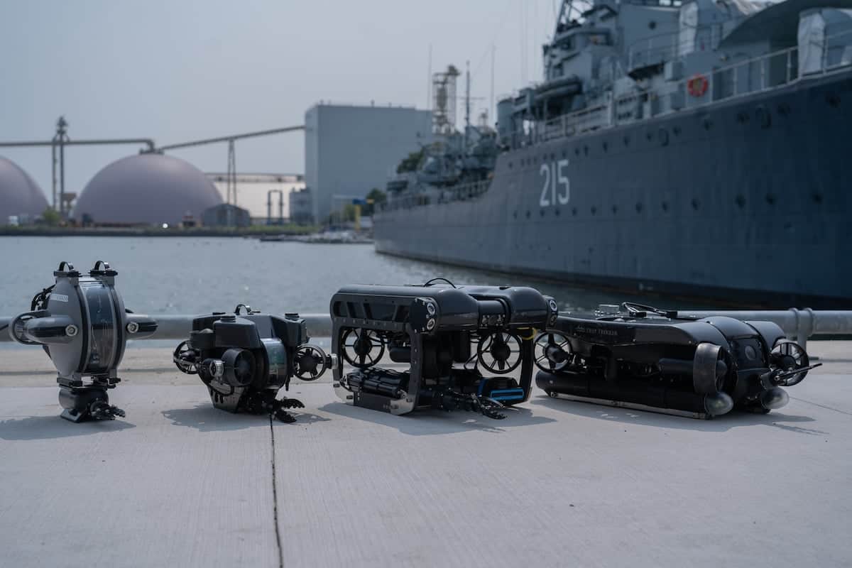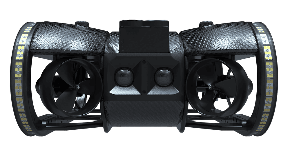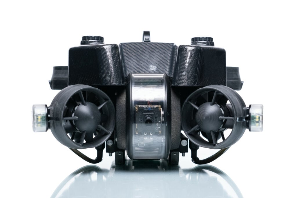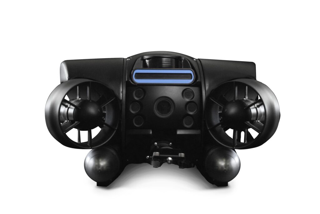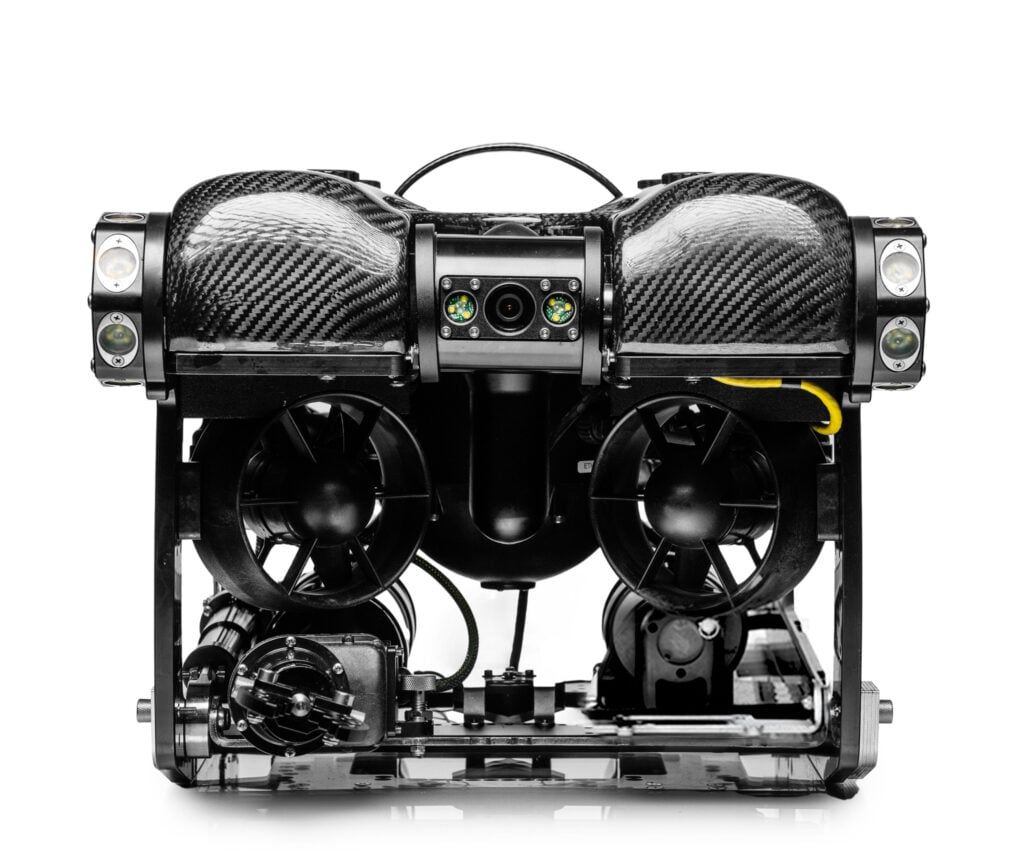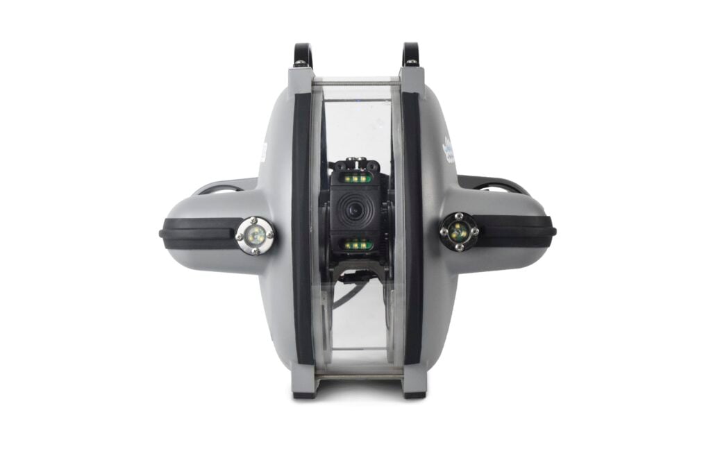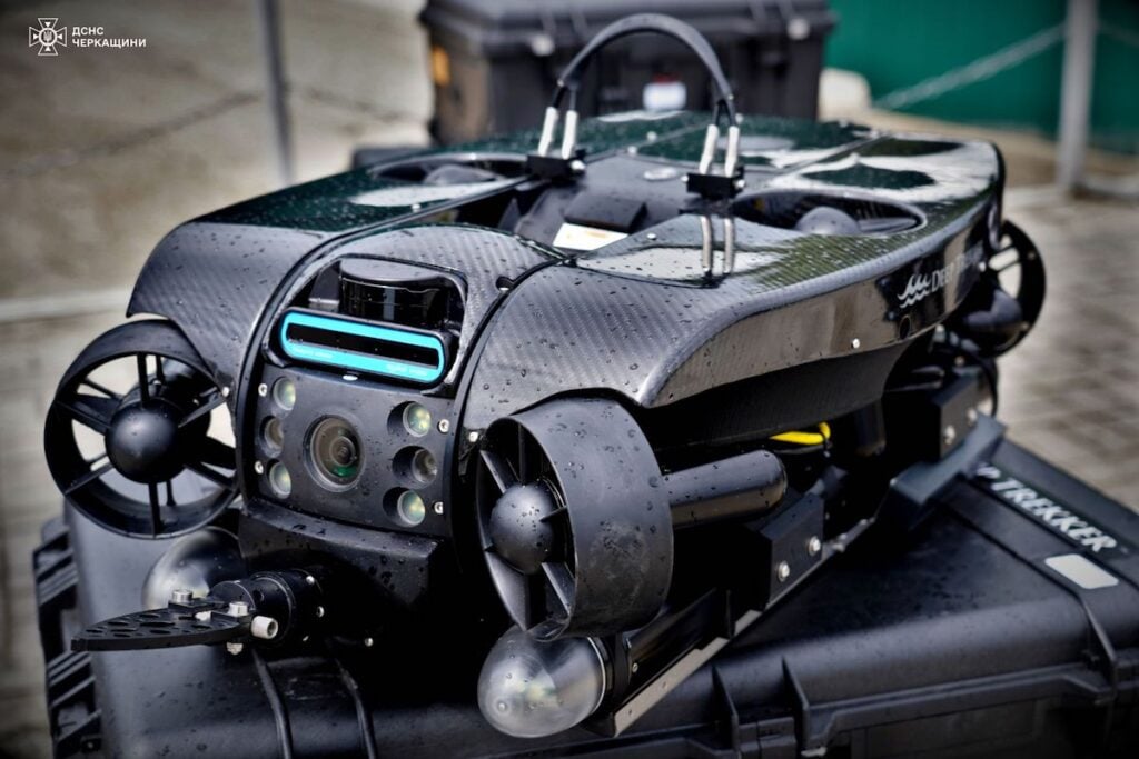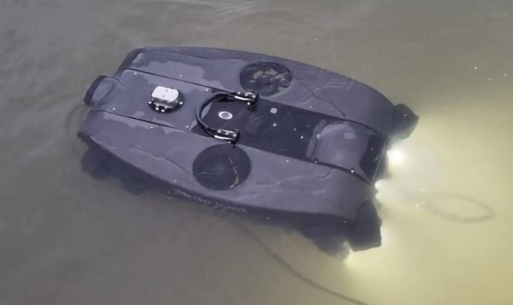

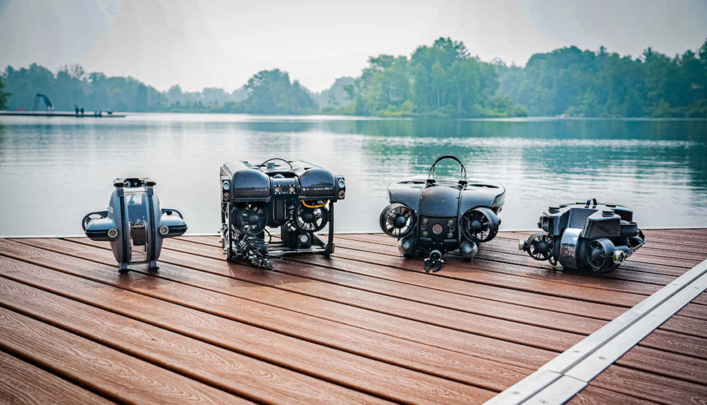
Deep Trekker highlights how its PIVOT and PHOTON Remotely Operated Vehicles (ROVs) are helping the University of Turku’s Archipelago Research Institute (ARI) resume underwater monitoring while reducing survey costs. Learn more >>
In this case study, the company examines how integrating ROV-based observation into existing fieldwork has expanded opportunities to survey Baltic herring spawning habitats and added reusable visual records to a research program spanning more than 40 years. Previously reliant on diver-based surveys, which became increasingly difficult to sustain due to cost, safety, and logistical requirements, researchers are now using ROVs to conduct underwater assessments within their existing fieldwork schedules.
The ROVs are deployed from small motorboats during routine twice-weekly trap-net inspections throughout the April to July spawning season, avoiding the need for separate dive campaigns and associated costs and logistical requirements. During the season covered by the case study, researchers conducted seven additional ROV survey trips alongside routine monitoring activities.
Unlike the institute’s previous diver-based surveys, which typically relied on written reports and individual observations, ROV operations provide reusable video footage that can be shared and reviewed by other researchers. The equipment also enables students and researchers without diving certification to participate in underwater data collection, broadening participation in spawning-ground surveys.
Despite challenging visibility caused by eutrophication and river runoff, the ROV imaging systems have enabled researchers to identify species, bottom plants, and algae. Station keeping has also proved valuable for maintaining stable observations in shallow, rocky, wave-affected environments with loose sediment.
During May 2024, researchers captured footage of a herring school exhibiting spawning behavior, extending their observation period to several hours. The resulting video archive can be revisited and cross-referenced with ARI’s biological records, including tissue and otolith samples dating back to the 1980s, adding visual context to its long-term research program while supporting environmental comparisons, education, and outreach.
ROV use is also expanding across the institute’s wider research and teaching activities, including spawning habitat mapping, spatial monitoring of spawning areas during 2024–2026, observation of spawning behavior, and planned transect surveys. With the equipment available to other station users and deployment frequency expected to increase to weekly or potentially daily operations, the systems are supporting broader underwater data collection without requiring dedicated diver-based expeditions.