WOLF Advanced Technology
HP | MJF for Unmanned Systems
Leading Suppliers in India

Mapping Software Suppliers in India

Discover India-based suppliers of Mapping Software

Suppliers: Mapping Software

1 Leading Supplier
Grid List
Filtered by:
CHC Navigation
CHC Navigation
India (9 locations)

GNSS Positioning & Navigation Systems, Mobile Mapping UAV LiDAR & Unmanned Surface Vehicles

Browse suppliers by country
Showcase your capabilities

If you design, build or supply Mapping Software, create a profile to showcase your capabilities and connect with visitors who have an active requirement for your solutions.


Create Supplier Profile

Products

4 Cutting-edge Solutions
Add your solutions
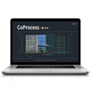
CoProcess 2025
CoProcess 2025

All-in-one CAD platform for point cloud processing

All-in-one CAD platform for point cloud processing
...V’s advanced software framework, it enables engineers and survey professionals to manage,... ...ed models, the software ensures continuous, occlusion-free representations ideal for survey-grade...
CHCNAV CoCloud
CHCNAV CoCloud

Scalable platform for real-time 3D geospatial data processing and collaboration

Scalable platform for real-time 3D geospatial data processing and collaboration
...and management software engineered for survey-grade applications requiring high-fidelity...
CoProcess
CoProcess

Advanced post-processing software for massive point cloud datasets

Advanced post-processing software for massive point cloud datasets
...is an advanced software package designed for the post-processing of massive point cloud datasets,...
CoPre
CoPre

Quick and efficient processing of UAV & mobile mapping data

Quick and efficient processing of UAV & mobile mapping data
... and intuitive software ecosystem for quick and user-friendly processing of geospatial data gathered...

Related Articles

Fundamentals of Drone Mapping & Geospatial Data Production

Blue Nose Aerial Imaging outlines the core principles of drone mapping, explaining how photogrammetry and LiDAR workflows are used to generate accurate geospatial deliverables for analysis and decision-making

Apr 30, 2026
Blue Marble Releases Global Mapper 27 Integrating GeoCalc & LiDAR Validation

Blue Marble Geographics has launched Global Mapper 27, integrating the GeoCalc geodetic library as a standard feature alongside enhancements to LiDAR validation, automated terrain modeling, and expanded geospatial data format support

Apr 24, 2026
Advancing Point Cloud Processing Skills with Blue Marble Geographics’ Online Classroom

Blue Marble Geographics highlights its Online Classroom, featuring new self-paced courses in point cloud processing that cover core workflows, feature extraction, and advanced analysis using Global Mapper tools

Mar 18, 2026
Drone-Based Photogrammetry & Watershed Analysis for Road Design in Indonesia

Blue Marble Geographics details how PT Waskita Karya (Persero) Tbk is using drone-based photogrammetry and watershed analysis within Global Mapper® to support environmentally responsible design and risk mitigation for a road project in Indonesia

Feb 06, 2026
Exploring Terrain Lidar & 3D Visualization in Global Mapper

Blue Marble Geographics’ Global Mapper provides a comprehensive set of visualization features that enhance the way users analyze, animate, and interpret geospatial information

Jan 09, 2026
Blue Marble Geographics Extracting Railroad Tracks from Lidar with Global Mapper Pro

Blue Marble Geographics outlines how Global Mapper Pro processes lidar point clouds, creates detailed elevation models, and extracts railroad tracks through breakline analysis to support dependable interpretation of rail corridors

Dec 11, 2025
3D Mapping & Reconstruction of Blücher Shipwreck Using Voyis Imaging Technology

Voyis explains how its Discovery Stereo camera and VSLAM technology were used to produce a high-resolution 3D reconstruction and true-scale digital twin of the German cruiser Blücher in Oslo Fjord, offering detailed historical and environmental insights

Dec 03, 2025
Using Global Mapper for Terrain Modeling & Hydrological Analysis

Blue Marble Geographics’ Global Mapper software is used by Egis teams to process LiDAR and topographic data, create 3D terrain models, and perform hydrological analyses for environmental and hydraulic projects

Nov 25, 2025
High-Resolution Seafloor Intelligence Solutions for Construction, Biodiversity & Defense

PlanBlue’s fully-automated technology can be easily deployed on board AUVs, ROVs and USVs

Nov 21, 2025

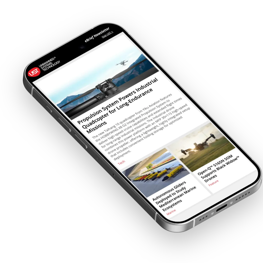
THE WEEKLY eBRIEF

The latest unmanned systems news, straight to your inbox.

Get our weekly roundup of technology developments, new products and industry news.

By subscribing, you agree to receive the weekly UST eBrief newsletter from EchoBlue Ltd. Unsubscribe at any time using the link in every email. See our Privacy Notice.

Advancing Unmanned Systems Through Strategic Collaboration UST works with major OEMs to foster collaboration and increase engagement with SMEs, to accelerate innovation and drive unmanned systems capabilities forward.