Voyis, a developer of underwater laser scanners and subsea imaging systems, highlights the use of its Discovery Stereo camera and Visual Simultaneous Localization and Mapping (VSLAM) technology to create a high-resolution 3D reconstruction of the historic Blücher wreck. Read more >>
The German cruiser Blücher, which sank on April 9, 1940, during the invasion of Norway in Drøbaksundet, Oslo Fjord, can now be explored in extraordinary detail through 3D digital reconstruction powered by Voyis optical technology. Previously accessible only to skilled divers at nearly 80 meters depth, the 200-meter warship has spent more than 80 years underwater.
Earlier this year, Submara Prosjekt, commissioned by the Norwegian Coastal Administration (Kystverket), conducted one of the most advanced underwater photogrammetry surveys in Norwegian waters.
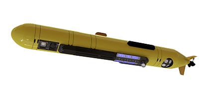
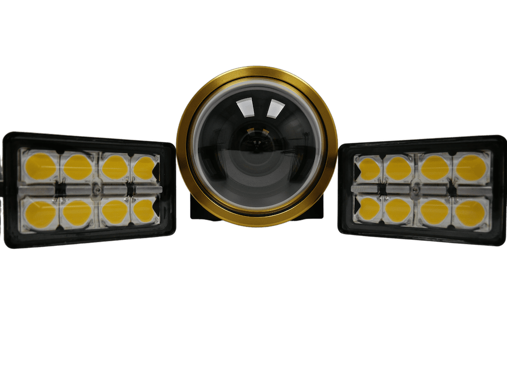
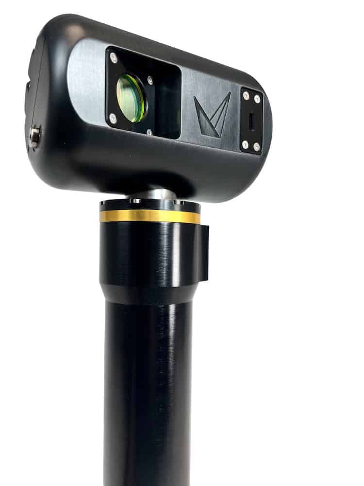
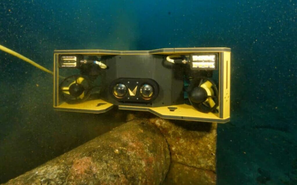
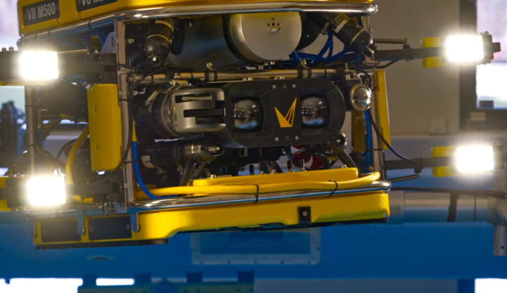
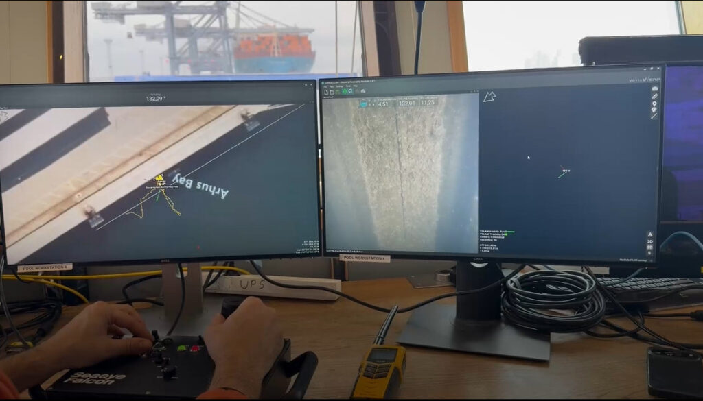
Using the Voyis Discovery Stereo camera mounted on a Remotely Operated Vehicle (ROV), the team captured tens of thousands of overlapping high-resolution images of the Blücher. Voyis’ VSLAM technology enabled precise localization and image alignment despite extremely poor visibility, ensuring full coverage of the wreck and surrounding debris field.
The 3D model captures the Blücher in precise detail, down to the millimeter, including gun barrels, cables, rivets, torpedoes, and the hull structure. With advanced color correction and dense 3D reconstruction, the model preserves the ship’s physical structure while offering insights into its condition and history. The data also confirmed the Blücher sank due to hull breaches, rather than the torpedo strikes previously thought to be the cause.
Andrew Reed, Head of Data and Business Development at Submara, commented, “This is one of the most detailed underwater records of a shipwreck ever made. We are very pleased with the result, especially the level of detail. The color correction has removed the green-blue tinge that usually occurs in underwater photogrammetry, revealing the true hues of the wreck as it appears on the seabed.”
For Kystverket, the Blücher model serves as both a historical record and a tool for environmental risk management. The wreck poses a pollution threat from residual oil and other materials. Detailed 3D mapping enables authorities to track structural changes, identify leaks, and model potential collapses with high accuracy.
Underwater photogrammetry forms the basis for continuous monitoring, supporting real-time surveillance cameras positioned above the wreck. Repeated surveys allow monitoring of subtle deformations and movements, supporting mitigation efforts and rapid response to environmental incidents.
This project highlights how modern optical systems are transforming underwater heritage documentation and environmental monitoring. The Voyis Discovery Stereo camera delivered crisp, metrically accurate imagery even in challenging conditions, while VSLAM ensured reliable navigation and mapping in low visibility waters.
Together, these technologies produced a true-scale digital twin of the Blücher, serving both historical preservation and environmental protection. This digital model demonstrates how advanced underwater imaging is expanding knowledge of submerged history, as well as safeguarding the oceans for future generations.