HP | MJF for Unmanned Systems
WOLF Advanced Technology
Leading Suppliers in China

Mapping Drones Suppliers in China

Discover China-based suppliers of Mapping Drones

Suppliers: Mapping Drones

1 Leading Supplier
Grid List
Filtered by:
CHC Navigation
CHC Navigation
China (9 locations)

GNSS Positioning & Navigation Systems, Mobile Mapping UAV LiDAR & Unmanned Surface Vehicles

Browse suppliers by country
Showcase your capabilities

If you design, build or supply Mapping Drones, create a profile to showcase your capabilities and connect with visitors who have an active requirement for your solutions.


Create Supplier Profile

Products

2 Cutting-edge Solutions
Add your solutions
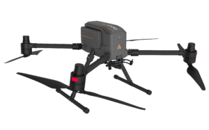
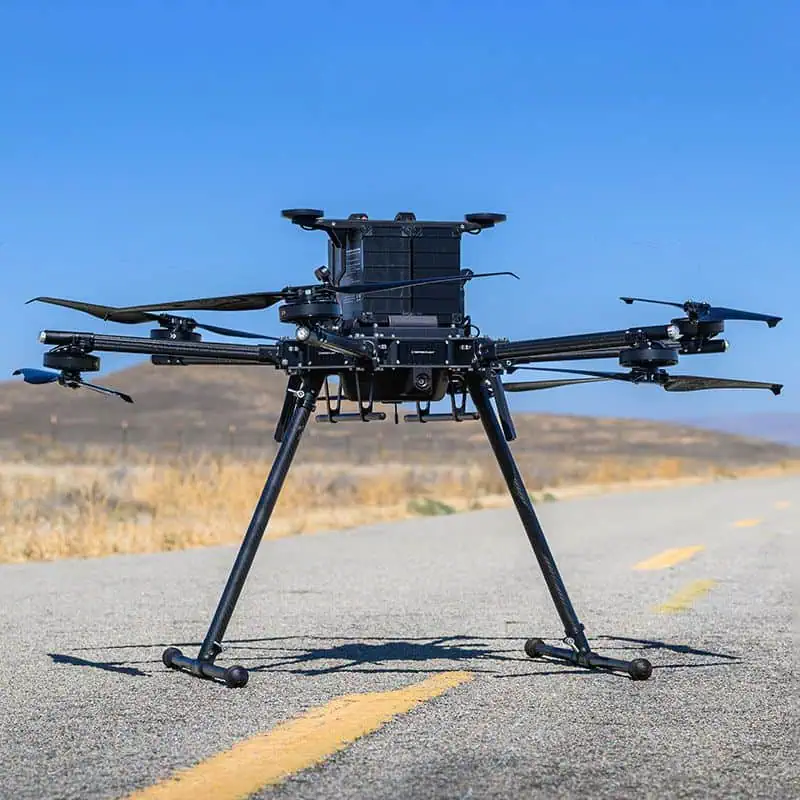
X500 Multirotor Drone

Professional-grade drone engineered for exceptional payload capacity and endurance

Professional-grade drone engineered for exceptional payload capacity and endurance
...a professional drone engineered for exceptional payload capacity and endurance. Equipped with...
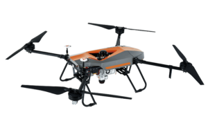
BB4 – LiDAR Mapping Drone

Advanced mapping and survey UAV for LiDAR or photogrammetry

Advanced mapping and survey UAV for LiDAR or photogrammetry
The BB4 is a high-end unmanned aircraft system resulting from an alliance between the two industry l...

Related Articles

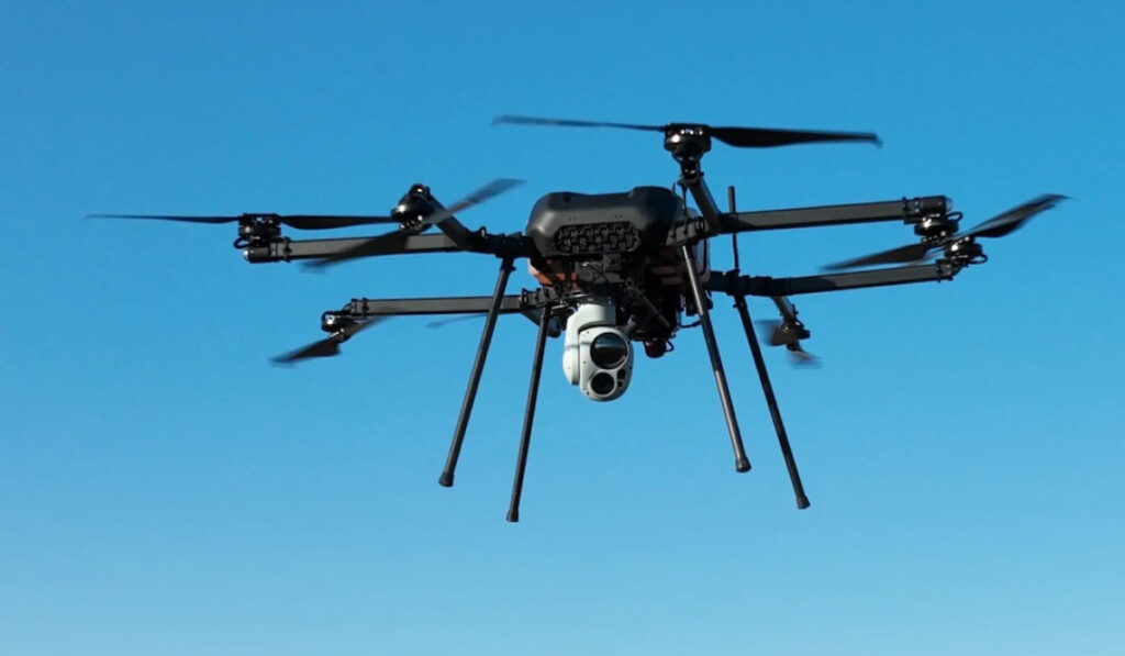
Long-Endurance Hybrid Multirotor Drones for ISR, Mapping & Surveying

Skyfront's drone platforms have been deployed in over 20 countries on more than 20,000 different missions, and are NDAA-compliant and Blue UAS Select-certified

Jun 23, 2026
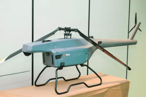
ZIYAN & GreenValley Leverage F15 Unmanned Helicopter to Advance Precision LiDAR Mapping

The 2026 LiDAR Industry Applications Conference highlights how ZIYAN’s F15 platform and GreenValley’s sensors are streamlining spatial data acquisition for global industrial sectors

Mar 23, 2026
Dual-Use Autonomous Unmanned Helicopter for Long-Endurance & Heavy-Lift Missions

Roze Mobility's SH-917 offers a 250 kg carrying capacity and up to 8 hours of flight endurance

Mar 12, 2026
Inspired Flight IF1200 Drone Supported High-Resolution 3-D Mapping of Alcatraz Island

Inspired Flight Technologies outlines how the IF1200 drone supported a three-week aerial LiDAR survey at Alcatraz, capturing four trillion bytes of data to create a centimeter-accurate 3-D model of the island

Mar 11, 2026
Inspired Flight Heavy-Lift IF1200 Supports Coastal Fissure Monitoring

Southern California Edison deploys the Inspired Flight IF1200 to capture high-resolution aerial data over active coastal landslide fissures, enhancing long-term ground movement monitoring and infrastructure safety planning

Feb 25, 2026
ALTUS LSA Develops UAV Platforms for Collaborative Disaster Response Projects

ALTUS LSA is developing unmanned aerial vehicles for disaster-zone operations through its involvement in the FORESIGHT and PANTHEON collaborative projects, supporting aerial missions in high-risk environments

Feb 25, 2026
Hydrogen-Powered Long-Endurance Drone Platforms & LiDAR Systems Integrate for Advanced Mapping

Cellen H2 and YellowScan partner to combine hydrogen propulsion with high-precision sensors to extend aerial data capture missions across the survey and inspection sectors

Feb 18, 2026
Autonomous VTOL AI Drone Launched for Surveying & Mapping Applications

ZenaTech has released the IQ Quad, an autonomous VTOL AI drone equipped with multi-sensor payload support, obstacle avoidance, and autonomous recharging to deliver survey-grade geospatial data for mapping and land analysis

Jan 23, 2026
Inspired Flight Explains the Implications of the FCC’s Latest UAS Decision

Inspired Flight outlines how the FCC’s December 2025 action under Section 1709 reshapes UAS oversight, affecting procurement, communications security, and supply-chain expectations for professional drone operators

Jan 08, 2026

THE WEEKLY eBRIEF

The latest unmanned systems news, straight to your inbox.

Get our weekly roundup of technology developments, new products and industry news.

By subscribing, you agree to receive the weekly UST eBrief newsletter from EchoBlue Ltd. Unsubscribe at any time using the link in every email. See our Privacy Notice.

Advancing Unmanned Systems Through Strategic Collaboration UST works with major OEMs to foster collaboration and increase engagement with SMEs, to accelerate innovation and drive unmanned systems capabilities forward.