Dock Released for Autonomous UAV Flight & Data Capture
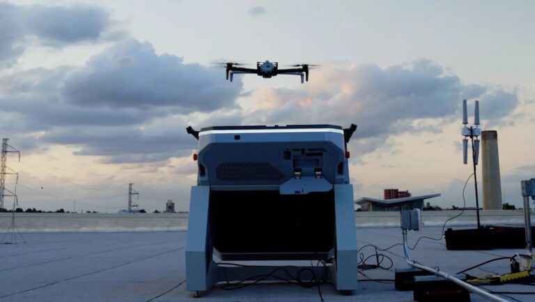
Skydio has released Dock for X10, an initiative that pre-positions drones in cities and enables public safety agencies to have eyes on scene during an emergency within seconds




Category archive
Page 83
Skydio has released Dock for X10, an initiative that pre-positions drones in cities and enables public safety agencies to have eyes on scene during an emergency within seconds
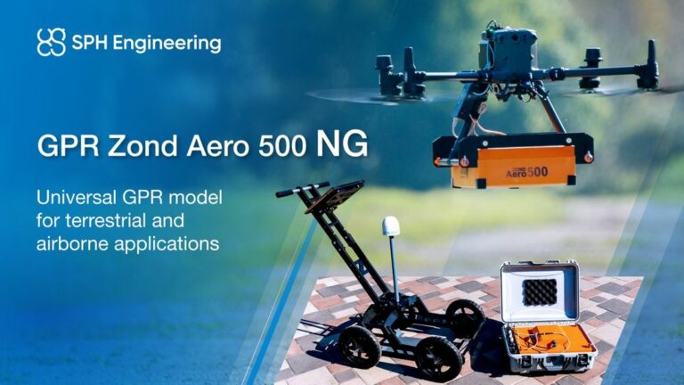
SPH Engineering and Radar Systems launch the Zond Aero 500 NG, a universal Ground Penetrating Radar (GPR) system designed for both drone-mounted and terrestrial surveys
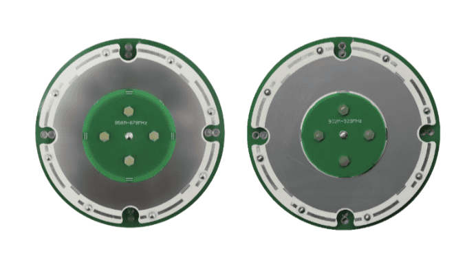
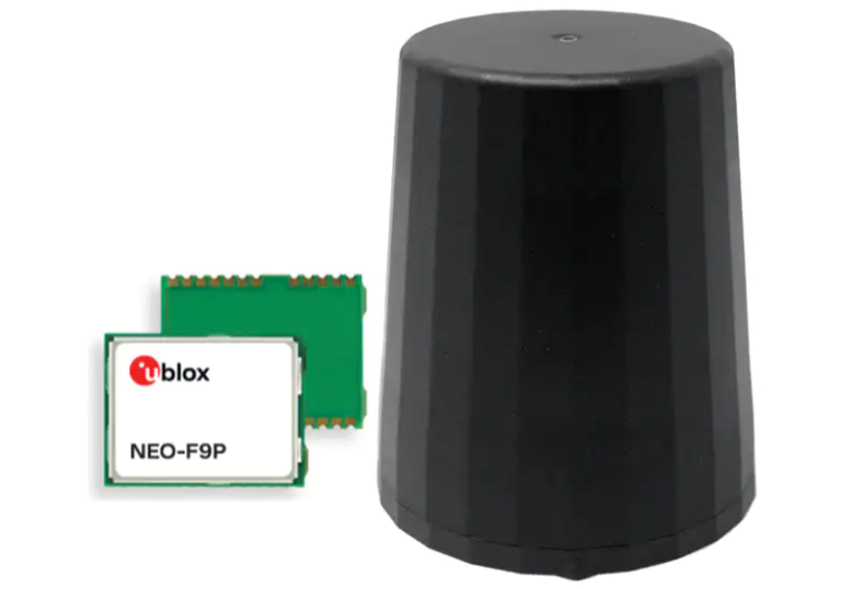
Harxon has launched its new series of antennas, designed for high-precision positioning while offering advanced anti-jamming capabilities and seamless integration for UAVs, robotics, and OEM applications
Calian has launched the VCS6000XF, equipped with a precision Tallysman Verachoke antenna and Septentrio’s Mosaic X5 receiver, enhancing performance and reliability in GNSS applications
Calian GNSS has introduced its TruPrecision Software Development Kit (SDK) for the HCS885XF L1/L5 Smart GNSS Antenna, enhancing precise heading capabilities for UAVs and robotics
UTAC 2024 will feature a series of workshops and demonstrations focused on UAS and robotics, equipping attendees with valuable insights and practical skills for real-world applications
UAVOS has provided software development and sustainment of an advanced Earth Observation payload on the Mira Aerospace High Altitude Platform Station
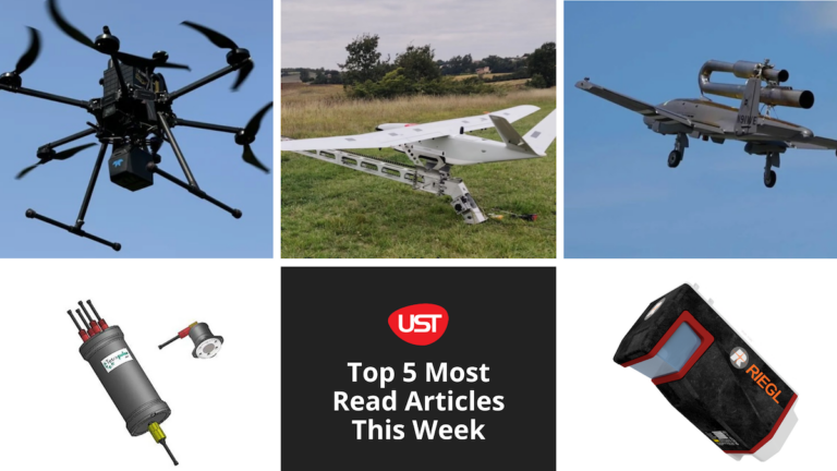
Here’s our round-up of the five most read articles on UnmannedSystemsTechnology.com this week
Recent updates to the AirData UAV app enhance flight syncing for Android users worldwide, particularly benefiting US drone pilots impacted by DJI’s upcoming removal of historical flight data
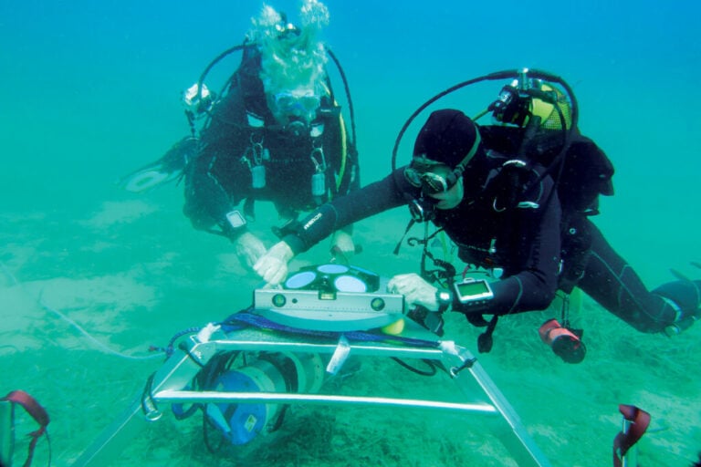
The new Workhorse Proteus acoustic Doppler current profiler (ADCP) from Teledyne RDI is compatible with AUVs, collecting current and wave data, flow measurements, and other oceanographic parameters
Trakka Systems will enhance the Royal Thai Navy's surveillance capabilities through the installation of its TrakkaCam® TC-300-S multispectral camera system and TrakkaMaps® TM-100 mission mapping system on Cessna T337 aircraft
Codan Group has strengthened its tactical communications technology suite with the strategic acquisition of Kägwerks
Marking a decade in business, Tyto Robotics reflects on growth and showcases advancements in drone testing technologies
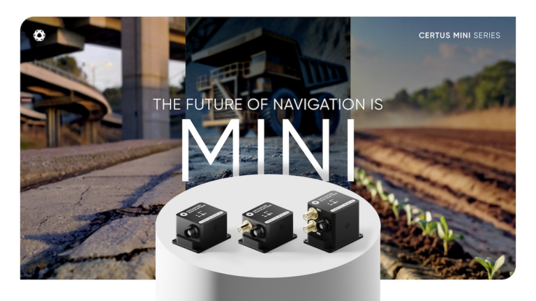
Advanced Navigation has launched the Certus Mini Series offering navigation solutions with less weight and more performance, ideal for drones and autonomous land vehicles
Honeywell Aerospace's new UAS Reveal And Intercept system combines advanced detection, tracking, and countermeasures to defend high-value assets from swarm drone threats
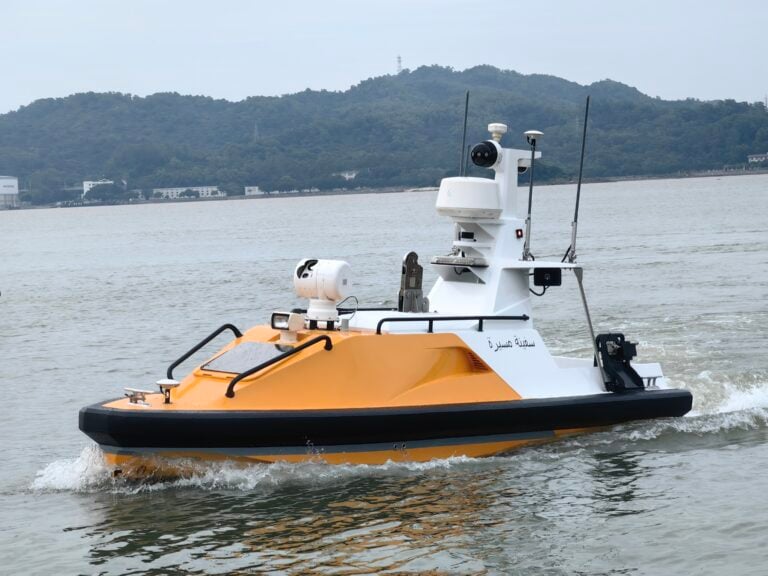
OceanAlpha's year-long USV showcase, targeting the offshore energy sector and other maritime industries, will enable attendees to participate in hands-on trials, and engage with the company's technical team
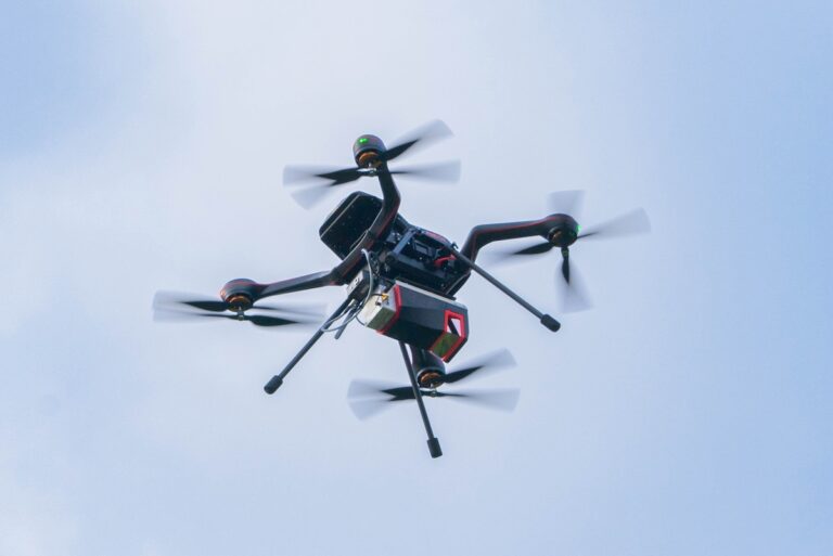
RIEGL has launched the extra large field of view VUX-100-25 UAV LiDAR sensor, the RiLOC-F IMU/GNSS system, and the VQ-1560 III-S dual-channel airborne scanner at INTERGEO 2024
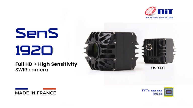
New Imaging Technologies' SenS 1920 camera features ultra-low-noise performance at 25e-, designed to meet various industries' demands and offer unparalleled imaging quality and precision
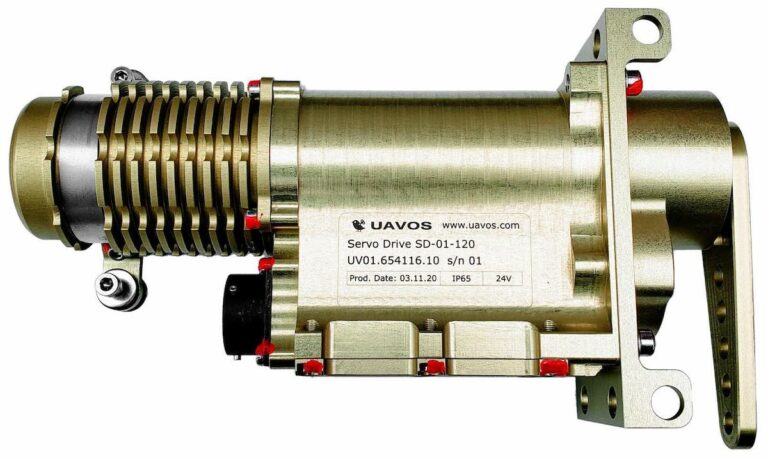
UAVOS has announced the renewal of its SD-01 servo actuator’s Certificate of Conformity, confirming compliance with EU Low Voltage and Electromagnetic Compatibility directives
LightWare has introduced the GRF-250, an ultralight laser rangefinder designed for seamless integration with drone gimbals, enhancing object localization and depth perception
Amprius Technologies has received two contracts to supply 40 Ah high-performance cells for Light Electric Vehicle (LEV) applications
Teledyne Geospatial and Inertial Labs have launched EchoONE, an advancement in airborne laser scanning technology that integrates LiDAR and camera technology with the Remote Sensing Payload Instrument (RESEPI)
H3 Dynamics is supporting Qdot by providing hydrogen-electric solutions designed to aerospace standards to ensure qualification and validation by aviation authorities and its fuel cell system is now an integral part of Qdot's hybrid powertrain
Unveilled at INTERGEO 2024, DELAIR and YellowScan’s new DT46 drone integrates the Voyager LiDAR system with a long-endurance fixed-wing platform, enhancing aerial inspection capabilities
Sony will be exhibiting alongside Gremsy and other partners at INTERGEO, highlighting integrated drone camera systems, including the Pixy LR S-Port gimbal and ILX-LR1 camera, designed for enhanced drone operations
The third annual Unmanned Systems West Summit for DoD, Government, and Industry will be help on September 25-26 in San Diego, providing insight into the latest advancements in UxS


 Searching Companies & Products