


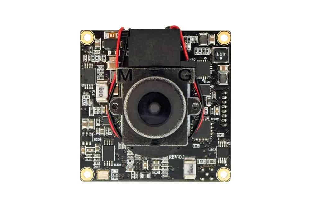
UAV/Drone Cameras
Discover cutting-edge solutions from 4 leading global suppliers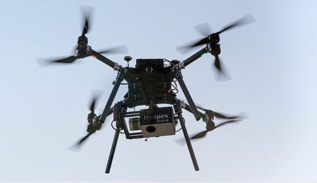
A European consortium of scientists funded under the Photonics Partnership is developing a new spectral imaging platform for surveillance drones and crop quality control in automated vertical farming applications.
Called ‘HyperImage,’ the project aims to revolutionize quality assurance and operational efficiency across different sectors. This high-tech imaging system uses AI machine learning algorithms to identify objects for more precise decision-making.
Hyperspectral imaging reveals what the human eye cannot see. Unlike regular cameras that capture just red, green, and blue, hyperspectral cameras capture hundreds of different wavelengths of light (from infrared up to ultraviolet light) called the spectral dimension.
Scientists can then analyze this spectral data in real-time with AI to classify different objects and materials, instantly and unequivocally spotting things like paint, pollutants, or diseases in crops.
Geo Surveillance Drones
The HyperImage team is working to improve the efficiency of a string of use cases, including for geo surveillance drones.
The photonic components and spectral imaging technology deployed in the HyperImage platform will eventually enable unmanned aerial vehicles (UAVs) to perform longer missions with greater energy efficiency and improved operational effectiveness in surveillance and monitoring.
The team is working on a 10% reduction in drone weight (in the 25 kg maximum take-off weight class) by developing a lightweight, high-resolution hyperspectral vision system. This weight reduction creates additional space for a larger battery, which in turn boosts flight time by 50%.
Alexander Kabardiadi-Virkovski, head of the HyperImage project at Fraunhofer IWS, explained, “Tasks that use UAVs, like environmental monitoring, infrastructure inspection, disaster management, and agricultural surveys, could all be improved by the HyperImage system. By using hyperspectral imaging, drones will be able to capture detailed data across several different wavelengths, allowing them to detect subtle changes in vegetation, identify materials, or monitor the integrity of infrastructure with much better precision than traditional sensors.”
Automated Vertical Farming
This innovative system is also being developed to transform various industries, including automated vertical farming. The spectral camera will allow farmers growing crops like salads, herbs, and microgreens to detect plant diseases early, monitor crop health with precision, and optimize harvest times – boosting yields by up to 20%.
Kabardiadi-Virkovski added, “The integration of hyperspectral cameras into autonomous systems represents a significant advancement in both technology and application. This imaging technique promises to enhance productivity and sustainability in industry and agriculture. Although hyperspectral imaging has existed since the 1980s, it has never been used in real-time with artificial intelligence for the applications the HyperImage team is now exploring.

“Our new system is being developed for automated vertical farming but is simultaneously being used to improve quality control, navigation in off-road autonomous driving, and vision systems for unmanned geo surveillance drones. The innovative HyperImage approach will enable autonomous vehicles to perform detailed landscape analysis and make informed decisions regarding passability in outdoor environments. By standardising hyperspectral data across different camera manufacturers, we aim to create a universal solution for object recognition and quality control.”
The project, which will conclude in 2027, is funded by the European Union and brings together a consortium of twelve partners from industry and academia.
This includes: 4K-MEMS, AMIRES, DIVE imaging systems GmbH, Growy, Infineon Technologies Bipolar, KETMarket GmbH, Netcompany-Intrasoft, Norsk Elektro Optikk AS, Optotune, Robotnik Automation, SILIOS Technologies, Stichting Wageningen Research, HySpex.


