Advanced Mapping System & Geospatial Software for UAVs
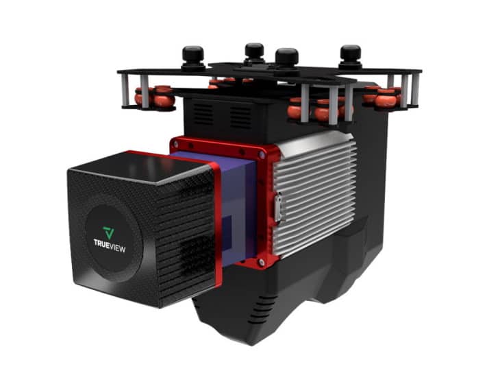
The TrueView 655/660 aerial mapping solution features oblique and nadir cameras, maximizing data collection and improving quality




LATEST DEVELOPMENTS
The latest unmanned systems news for UAV, UAS, UGV, USV, UUV, drones and robotics. Articles on product launches and technological advances in unmanned and autonomous design, research and manufacture.
News archive
Page 426
The TrueView 655/660 aerial mapping solution features oblique and nadir cameras, maximizing data collection and improving quality
Based on the successful initial test runs, the NW-230 multi-fuel twin-cylinder UAV engine is set to be qualified and in the skies in 2023
ComNav's new receiver board and module utilize RTK and integrated IMUs for enhanced accuracy and performance
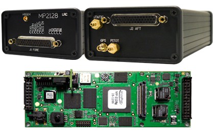
MicroPilot's board-level and integrated solutions are ideal for fixed-wing, multirotor, hybrid VTOL, and uncrewed helicopter UAVs
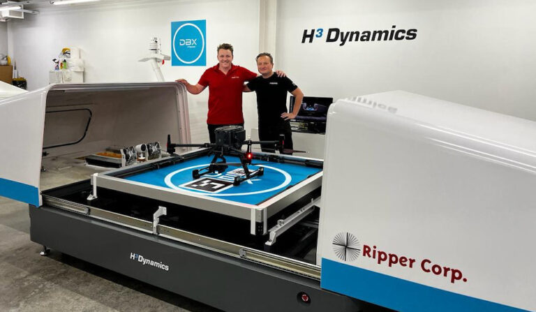
H3 Dynamics and Australia’s Ripper Corporation have entered into an exclusive strategic partnership agreement to enhance Ripper’s operational drone offering by integrating H3 Dynamics’ DBX drone stations
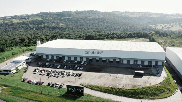
Embraer has announced investment in XMobots, a reference company in the development of mobile robotics and drones for agriculture, geotechnologies, defense and security, and logistics
Fusing customers’ feedback with the latest sensor technologies, the new Insight Nano offers higher data resolution, faster data capture, and greater control than previous versions
General Dynamics Mission Systems' solution will provide line-of-sight communication extension for U.S. Navy surface ships
Lockheed Martin and Verizon demonstrated the transmission of real-time ISR RF and streaming video data over millimeter-wave 5G
Mark Palmer, CTO of Sentient Vision Systems, makes the case for AI to bring real-time intelligence and operational decisions to military drone missions
Together, iXblue and ECA Group will offer customers products ranging from components to complex systems to support critical missions in severe environments
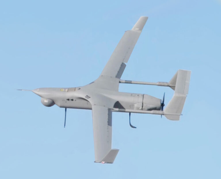
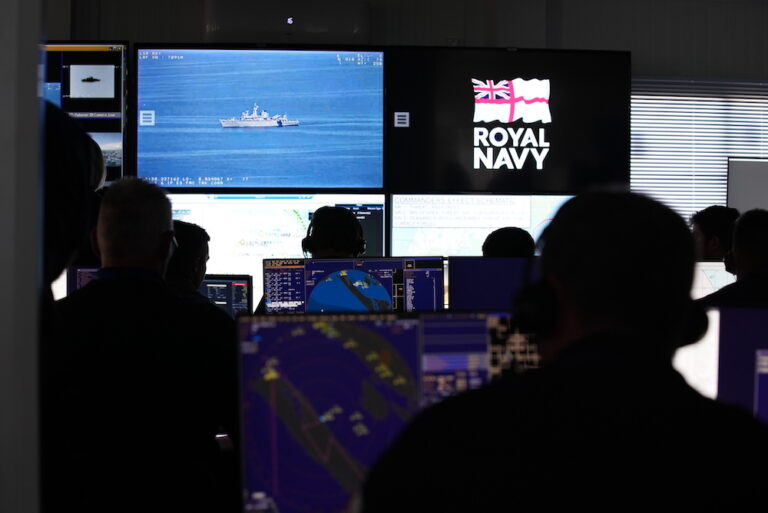
TEKEVER’s AR5 drone coupled with its Artificial Intelligence (AI)-driven platform ATLAS provided real-time aerial ISR data to participating navies


 Searching Companies & Products