


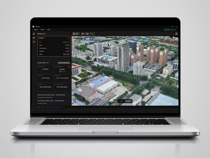
CoMeta Desktop Software Introduced with Photogrammetry & Native 3D Gaussian Splatting
CHC Navigation introduces CoMeta software for processing UAV image datasets into georeferenced mapping outputs and photorealistic 3DGS models for surveying, engineering, and digital twin workflows