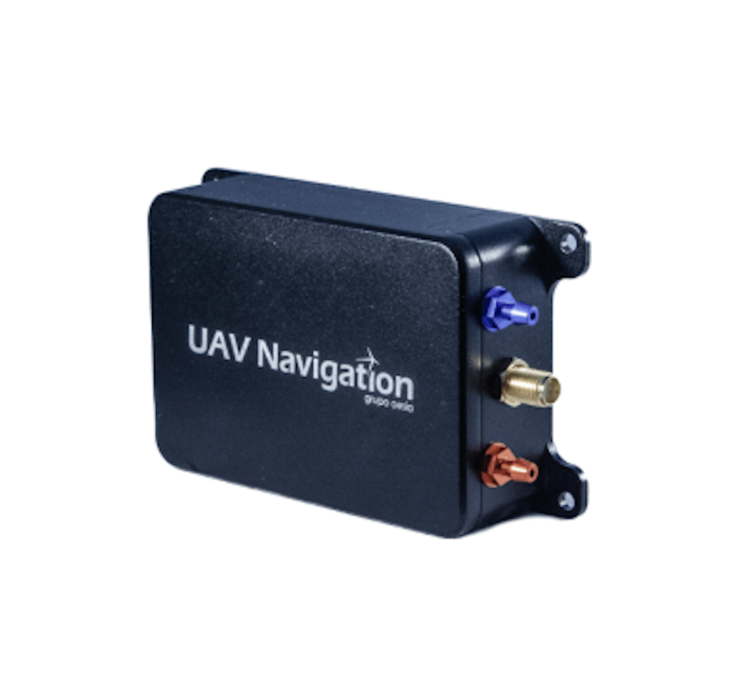
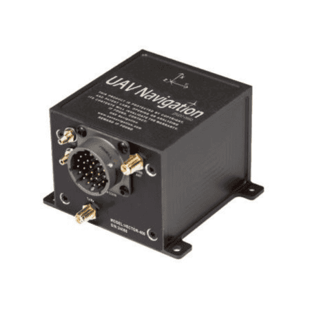
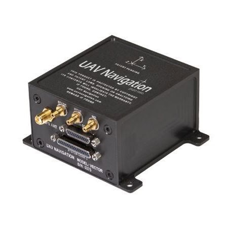
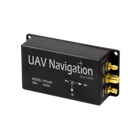
During an interview with José María Pulido, Navigation Systems Lead at UAV Navigation-Grupo Oesía, the company outlines how its Visual Navigation System (VNS) supports Unmanned Aerial Vehicle (UAV) operations in GNSS-denied environments. Read more >>
The VNS combines visual information with inertial data within the VECTOR autopilot. Rather than relying on extremely high-resolution sensors or specialized optics, the system is designed to operate with standard, mission-appropriate imaging sensors, where image consistency, sufficient texture and stable contrast support robust feature extraction. Advanced image processing and AI-based algorithms compensate for changes in lighting, shadows, motion blur and terrain appearance, helping maintain a stable navigation solution across varying operating conditions.
The effective navigation range of the VNS is not defined by a fixed distance or altitude, but by the availability of meaningful visual features within the camera’s field of view. In practical terms, the system supports navigation from low to medium altitudes where sufficient ground texture is present, complementing the inertial navigation system by continuously correcting drift rather than acting as a standalone positioning sensor. UAV Navigation-Grupo Oesía uses global shutter sensors exclusively for the VNS because they capture the entire image simultaneously, avoiding image distortion caused by platform motion and vibrations.
Sensor integration also depends on factors including latency, synchronization, robustness to vibration and motion, power consumption, environmental tolerance and long-term reliability under operational conditions. The VNS has been computationally optimized to extract and retain only relevant points of interest for navigation and mapping, rather than continuously storing or processing full images. The VNS is tightly integrated with the VECTOR autopilot, which provides precise timing, synchronization with inertial measurements and deterministic data handling. The system also supports standard communication options including CAN, RS-232 serial interfaces and Ethernet, allowing it to adapt to different platform architectures and integration philosophies.
To find out more information, read ‘How Visual Navigation Enables UAVs Operations in GNSS-Denied Environments.’