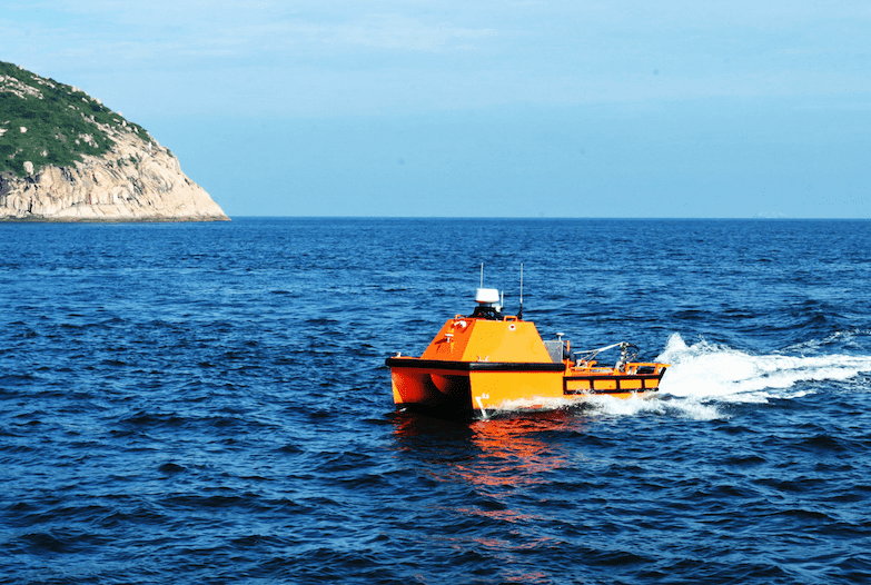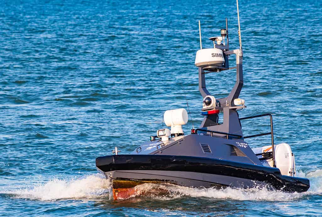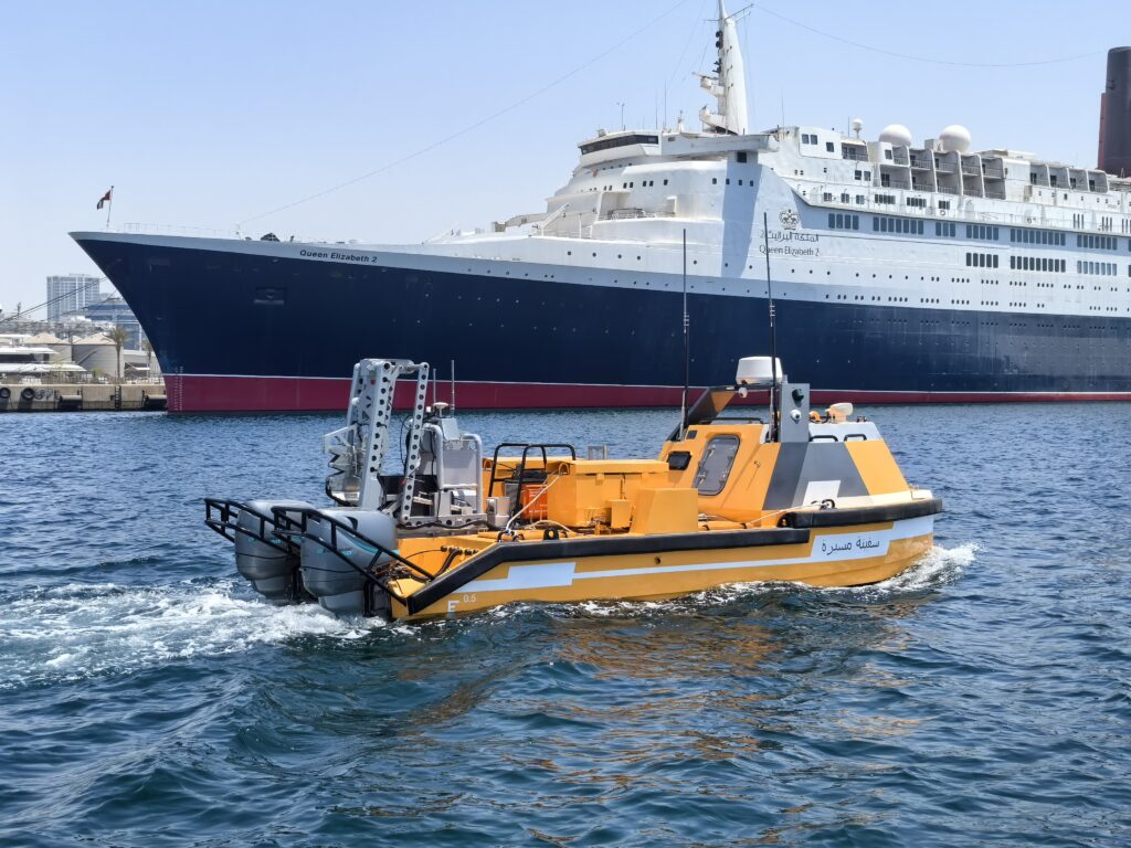
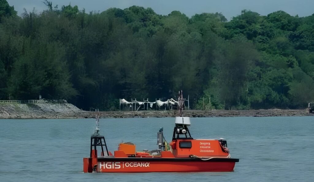
OceanAlpha highlights how its 5.5 m M40P Uncrewed Surface Vehicle (USV) was deployed by Malaysia-based geo-solutions provider HGIS for an entirely remote nearshore inspection of subsea pipelines at an oil field in Brunei.
Conducted in cooperation with the largest oil and gas producer in Brunei, the project marked HGIS’s first USV-based survey. The M40P was used to acquire seabed data across offshore, nearshore and onshore field areas, providing continuous geospatial data support for the construction, operation and maintenance of pipeline routing and subsea infrastructure.
Remote Survey Operations
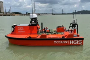 OceanAlpha provided the M40P together with its independently developed control system. The USV was remotely controlled and monitored from a station near the oil terminal, approximately 4 to 5 km from the pipelines under investigation.
The M40P autonomously executed accurate survey operations with minimal human intervention, allowing surveyors to allocate more time and effort to critical data analysis and hazard identification.
Reducing Human Activity at Sea
The project addressed operational challenges associated with offshore survey activities, including workforce shortages during the COVID-19 period and the industry’s growing focus on sustainable development.
The objective was to complete an accurate subsea pipeline survey while minimizing the need for personnel to be physically present on the water and maintaining effective control and monitoring from shore.
By combining autonomous USV operation with remote shore-based control, the project reduced human activity at sea and supported a more digitized offshore survey workflow.
Ran Zhang, General Manager of OceanAlpha, commented, “Due to mixed factors, including workforce shortage caused by COVID and the industry’s shared goal for sustainable development, we see increasing interest in our USVs. M40P is a platform dedicatedly developed to empower the transition of the offshore industry by digitizing the workflow and cutting down carbon footprint.”
Project Results
HGIS successfully completed the entirely remote nearshore inspection of the subsea pipelines using OceanAlpha’s M40P USV.
The deployment reduced HSSE exposure by minimizing the need for personnel to operate directly at sea. HGIS also highlighted a reduction in survey duration, together with less human activity at sea and reduced fuel consumption.
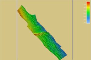
The remote and autonomous approach enabled surveyors to focus more of their time on critical data analysis and hazard pin-pointing, while the acquired seabed data provided continuous geospatial support for pipeline routing and subsea infrastructure activities.
Alexis Wan Ullok, Executive Director of HGIS, added, “Conducting surveys remotely from shore is a unique and inspiring experience for us. The introduction of unmanned technology undoubtedly reduces HSSE exposure and survey duration. With less human activity on the sea and cut-down fuel consumption, it’s a down-to-earth fulfilment of our goal to support sustainable economic development.”
The Brunei project demonstrated how OceanAlpha’s M40P can be used for remote subsea pipeline surveying through autonomous operation, shore-based control and seabed data acquisition.