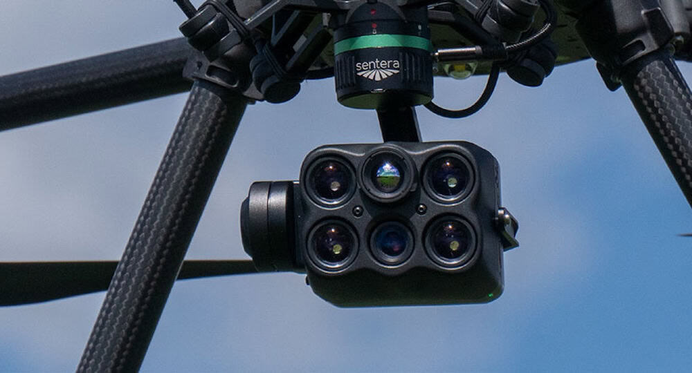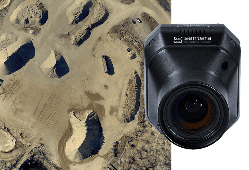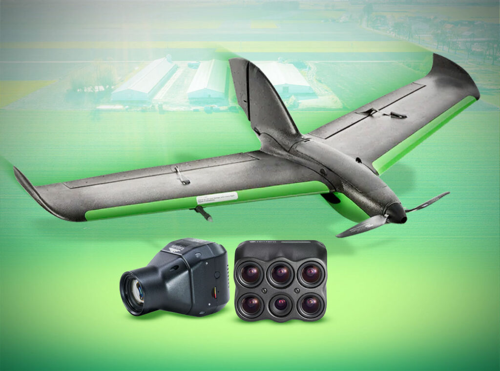



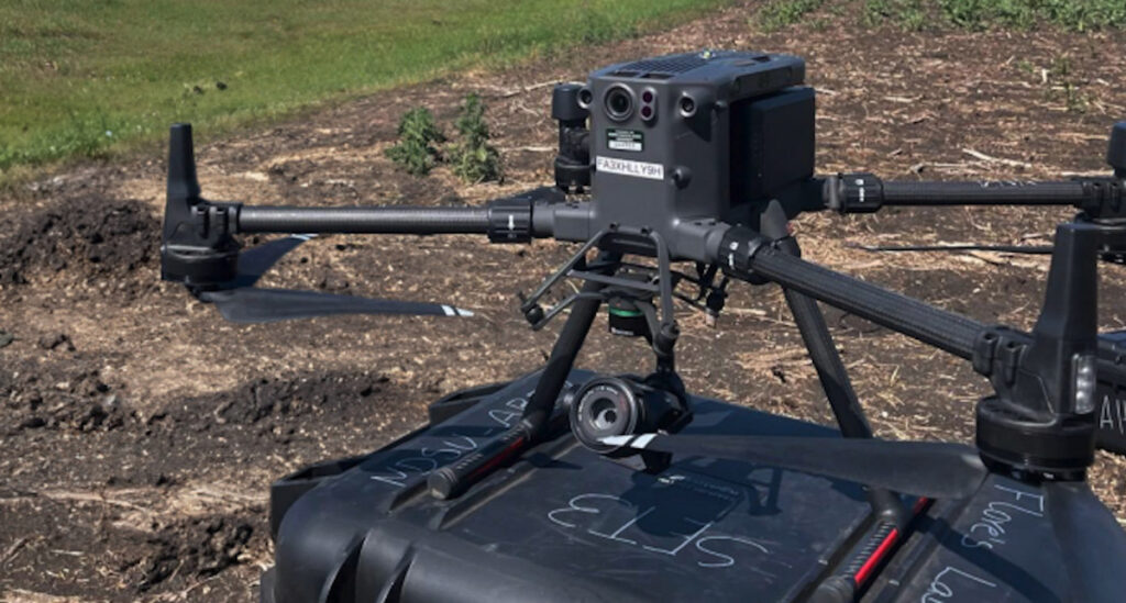
Sentera Sensors & Drones’ whitepaper, “Customer Story Series: NDSU’s Use of Sentera 65R for Weed Detection,” highlights how researchers at North Dakota State University are using drone imagery to develop prescriptive tillage maps for weed control in sugar beet fields. Read more >>
The maps are designed to identify areas containing weeds so that farmers can till only those parts of the field rather than cultivating the entire area.
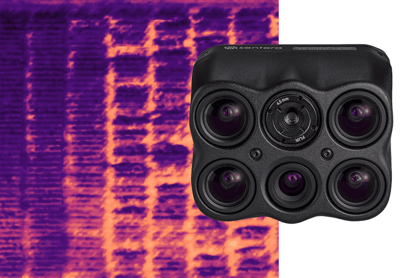
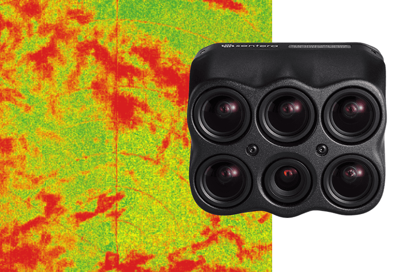
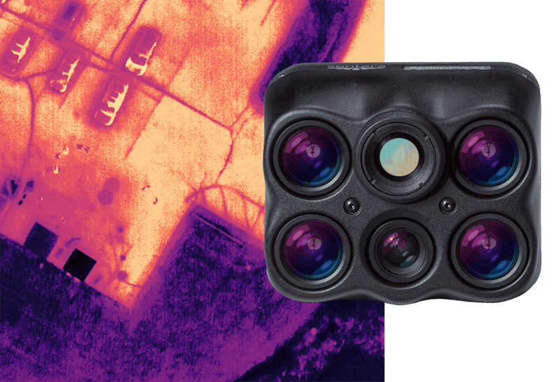
The research team tested the Sentera 65R alongside another photogrammetry sensor and a multispectral sensor. Imagery from the 65R is processed using an Excess Green index to distinguish vegetation from soil, before crop rows and weeds are separated and grid cells are assigned for tillage or no tillage. Preliminary results from the 2024 growing season showed that less than 10% of grid cells contained weeds, indicating that less than 10% of the field needed tilling.
The case study also outlines potential additional uses for the high-resolution 65R imagery, including machine-learning applications for weed detection and research into crop disease monitoring.
To read the full whitepaper, visit the Sentera Sensors and Drones website.