Tilak.io highlights how it is advancing software-based navigation solutions designed to maintain reliable positioning for unmanned systems operating in environments where GNSS signals are unavailable or compromised.
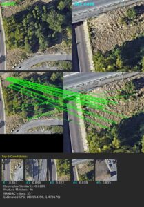 The approach combines inertial navigation enhancement with established methodologies and ongoing research into Simultaneous Localization and Mapping (SLAM), optical flow, and visual odometry to support operations in environments affected by jamming or spoofing.
Multi-Layered Approach to GNSS-Denied Navigation
Tilak.io’s development strategy addresses GNSS-denied navigation through two complementary areas. One focuses on improving inertial navigation performance through advanced processing techniques, while the other centers on vision-based navigation to provide external positioning references without relying on satellite signals.
Enhancing Dead Reckoning with IMU Optimization
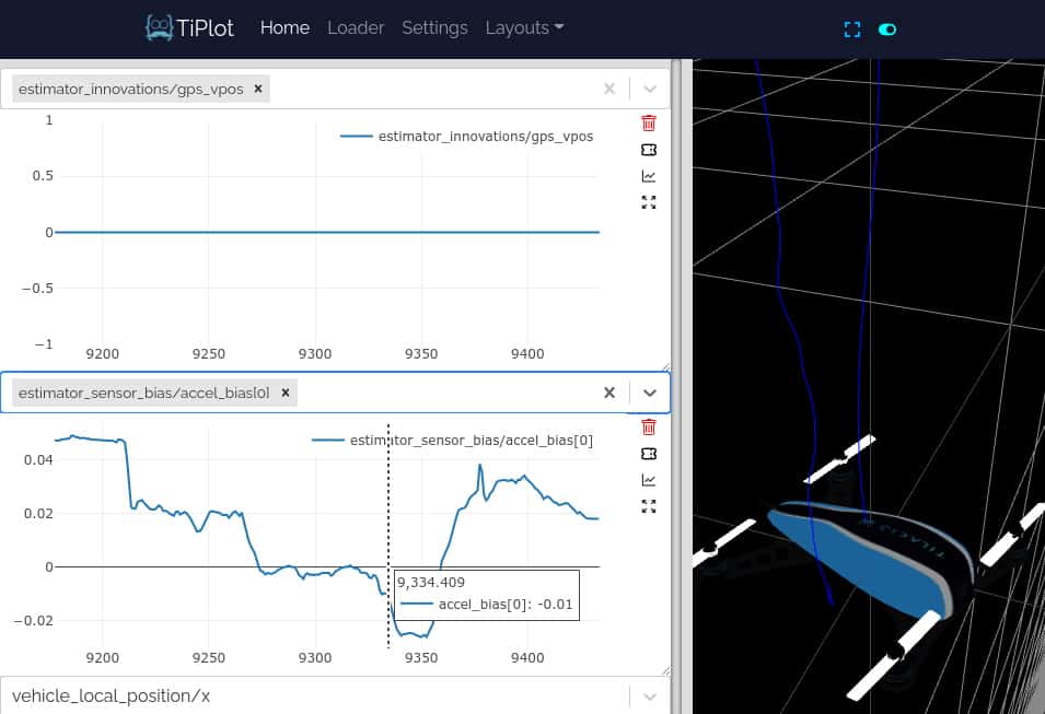
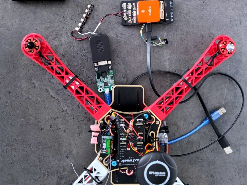
A key aspect of this work is improving dead reckoning performance without requiring changes to the underlying sensor hardware. Tilak.io has conducted detailed analysis of dead reckoning algorithms using low-cost MEMS Inertial Measurement Units (IMU), including ICM-class and CubeOrange-grade devices.
This has included Kalman filter replay using real flight data, along with automated optimization algorithms to refine Kalman gains and improve estimation accuracy.
In addition to low-cost sensors, Tilak.io also works with higher-grade IMUs from VectorNav and SBG Systems. This enables performance characterization and algorithm development across a range of sensor qualities, supporting applications with varying cost constraints and operational requirements.
Vision-Based Navigation Using SLAM and Visual Odometry
Vision-based navigation represents Tilak.io’s primary research and development focus. The company has developed a functional prototype integrating SLAM with visual-inertial odometry, which has been validated in indoor environments on both ground rovers and aerial simulation.
Current development is focused on extending these capabilities to fixed-wing UAV operations at speeds of up to 60 meters per second and altitudes between 100 and 300 meters above ground level. This combines optical flow techniques with visual place recognition for map matching, enabling position estimation across larger operating areas and at higher velocities.
These developments are currently being evaluated in simulation environments while hardware development progresses in parallel. Tilak.io is also designing a dedicated ARM-based processing board optimized for the real-time execution of AI-driven optical flow algorithms, supporting deployment on embedded platforms with constrained size, weight, and power budgets.
Toward a Standalone Vision-Based Navigation Module
The roadmap is centered on delivering a standalone navigation module capable of operating independently of GNSS inputs. Initial implementations are focused on RGB imagery for daytime operation, with thermal imaging planned for low-visibility conditions.
All underlying intellectual property is developed and retained internally, providing full control over the system architecture and future development. The resulting solution is intended to provide a scalable and adaptable navigation capability for UAVs and robotic systems operating in environments affected by jamming, spoofing, or signal denial.
Supporting Resilient Autonomous Operations
By combining inertial optimization with advanced vision-based techniques, Tilak.io is contributing to the development of resilient navigation systems for increasingly complex operating environments. Its work in SLAM, optical flow, and visual odometry reflects a broader shift toward multi-sensor autonomy, where reliable positioning is achieved through layered approaches rather than dependence on a single positioning source.