Dronetag and High Lander partnered to integrate Remote ID identification and detection technology into the Vega UTM platform, creating a unified operational picture for airspace authorities.
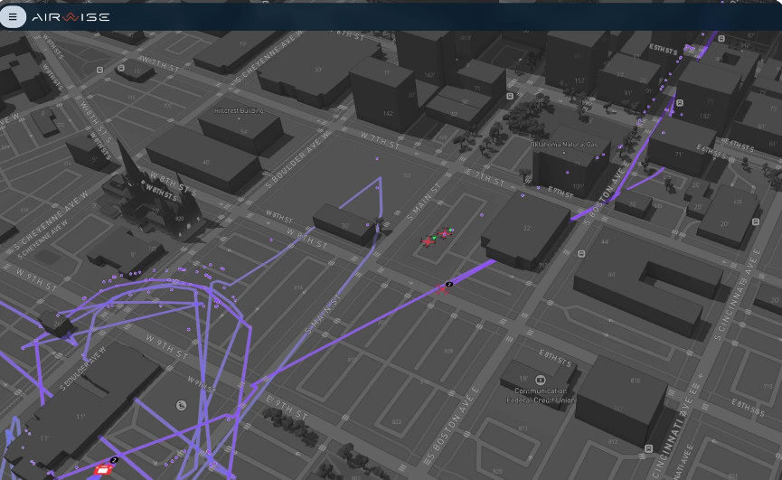
The joint initiative directly addresses a persistent challenge across uncrewed traffic management deployments: the operational disconnect between central management systems and real-world drone identification in the field. By linking the traffic management layer directly with field-level detection, the unified system enables regulators to seamlessly verify authorization and monitor low-altitude aerial activity across entire jurisdictions.
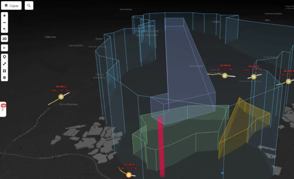
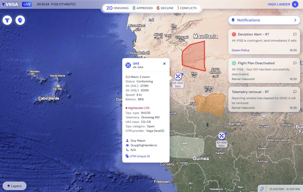
High Lander’s Vega UTM platform functions as the core management infrastructure, handling flight plan approvals, capacity management, real-time monitoring, and airspace deconfliction. Operating at a national scale, Vega holds the world’s first UTM operating license, which was granted by the Civil Aviation Authority of Israel.
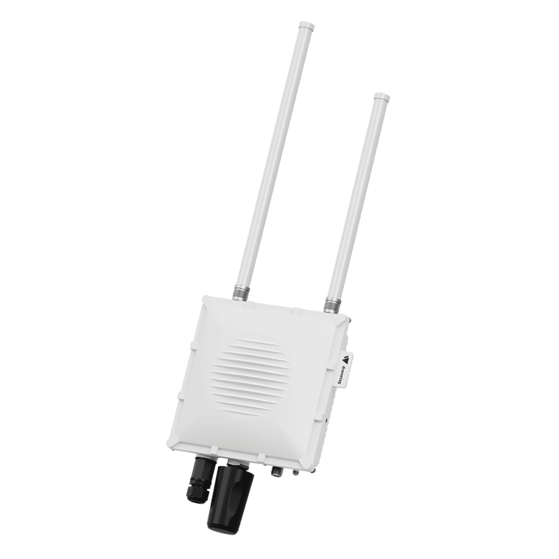
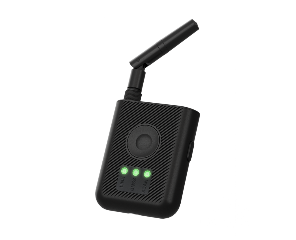
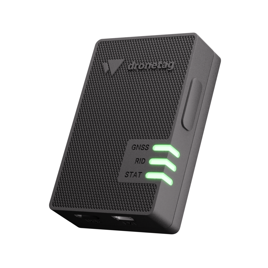
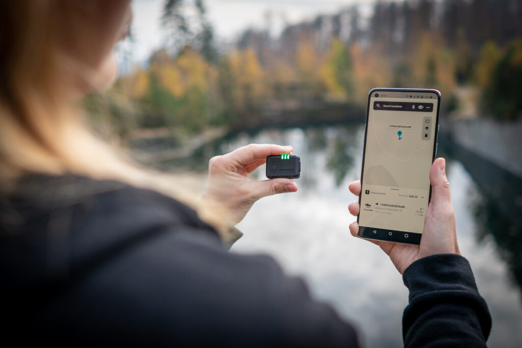
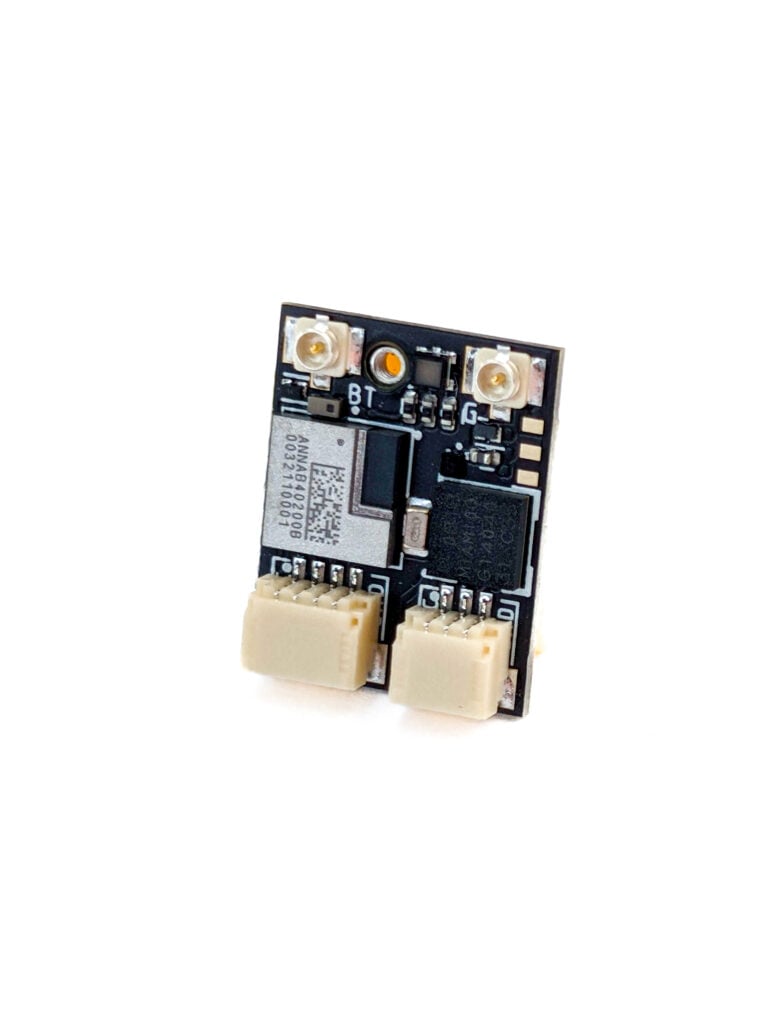
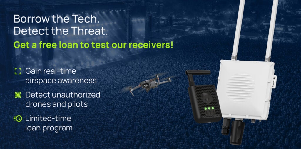
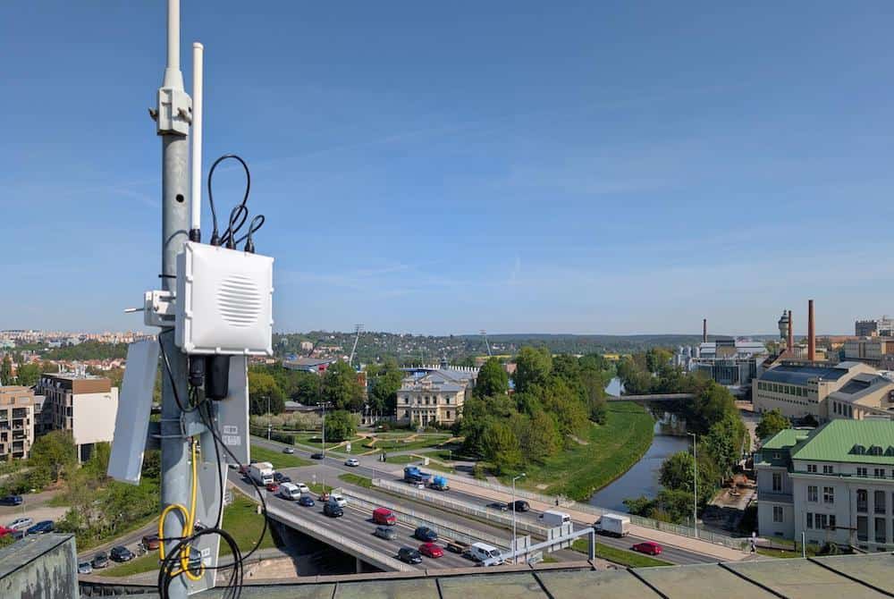
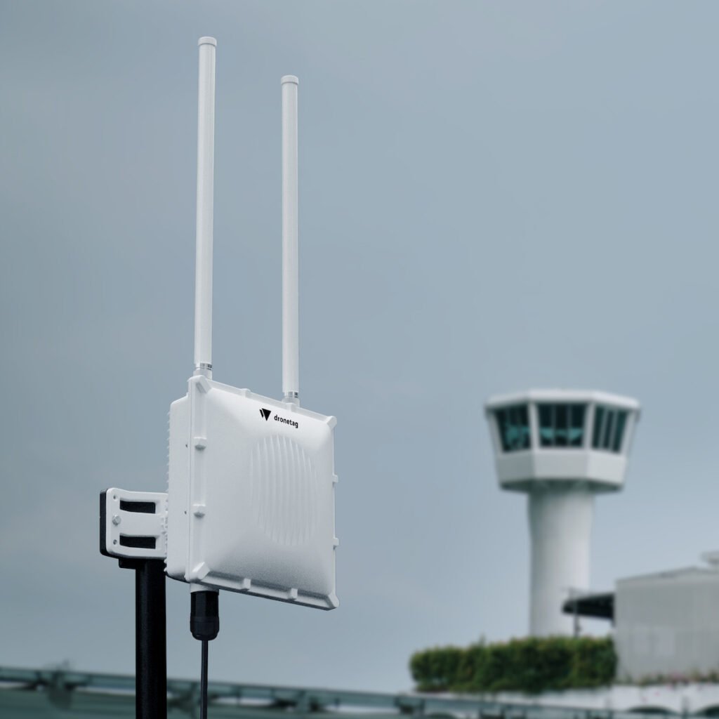
Dronetag feeds real-time identification and detection data into this infrastructure across two distinct product layers. Remote ID transmitters, including the Beacon, Mini, BS, and DRI, act as digital passports for cooperative drones by transmitting identity, positional, and compliance data directly into the platform. Complementing this, ground-based Scout and RIDER receivers establish a field detection layer capable of identifying broadcasting drones and flagging any aircraft operating without approval or outside designated flight plans.
Together, the combined system allows security agencies and regulators to instantly distinguish between authorized, compliant operations and unverified flights. The joint solution is already being deployed in projects across the Middle East and Africa, with transmitter data flowing directly into Vega while receiver integration is currently underway.
Lukáš Brchl, CEO of Dronetag, said, “Regulators and security agencies need to know exactly what is flying in their skies and whether it is authorized to be there. Our partnership with High Lander delivers that clarity. By providing both the management infrastructure and the identification hardware, we are giving authorities the tools they need to transition from theory to practice in large-scale drone operations.”
As low-altitude airspace becomes increasingly congested, regulatory bodies worldwide are transitioning from initial pilot programs toward real-world enforcement of drone traffic rules. In this evolving landscape, the capability to detect non-compliant aircraft and act on discrepancies serves as vital operational infrastructure, connecting identification to enforcement through a single system.