Spanish dual-use technology company VIG-SEC Drone recetly integrated Dronetag transmitters and receivers into its ACRE Suite emergency unmanned traffic management platform.
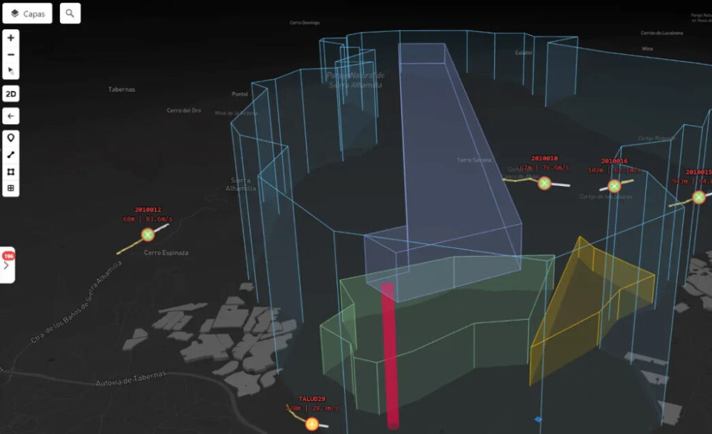
The integration introduces a critical Remote ID broadcast and detection layer to the platform, enhancing the shared operational picture by giving operators a unified view of drones, crewed aircraft, and ground units during high-stakes operations. Designed specifically for environments where multiple aerial platforms operate simultaneously, the ACRE Suite serves public safety and defense applications such as firefighting, search and rescue, police operations, and combined manned–unmanned military missions.
The platform manages real-time strategic and tactical deconfliction to produce a Common Operational Picture (COP) that merges all involved resources and units into a single interface. To maintain safety and oversight, a human operator remains in the loop for final decisions, with the system surfacing strategic options rather than acting autonomously. VIG-SEC Drone has already validated the ACRE system in real-world conditions, including coordinated exercises with Spanish Ministry of Defence helicopters and multinational exercises with the BRILAT airborne light infantry brigade in Slovakia.

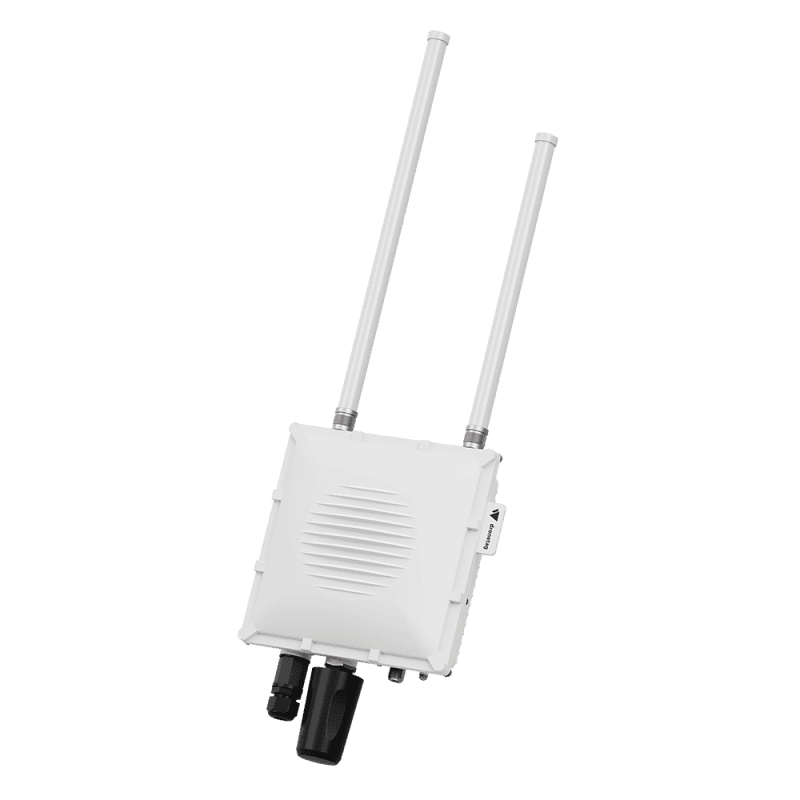
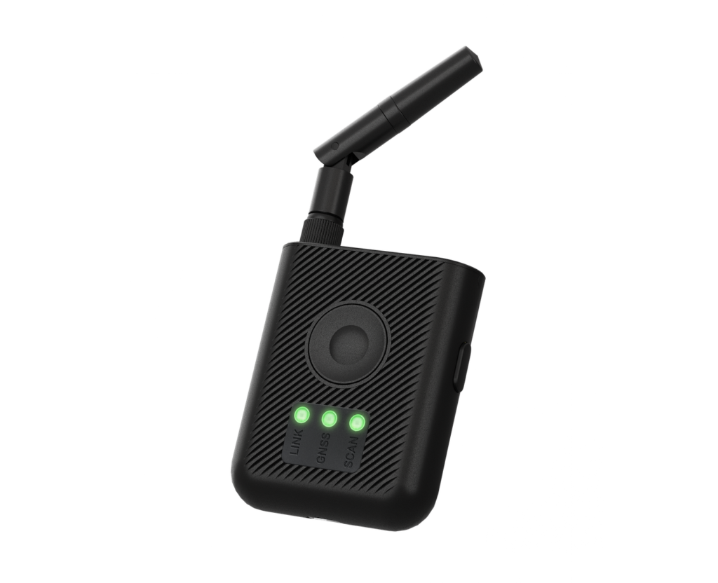
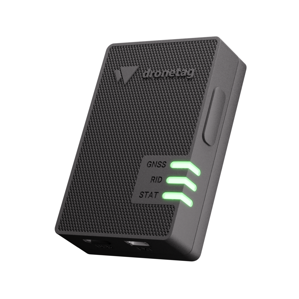
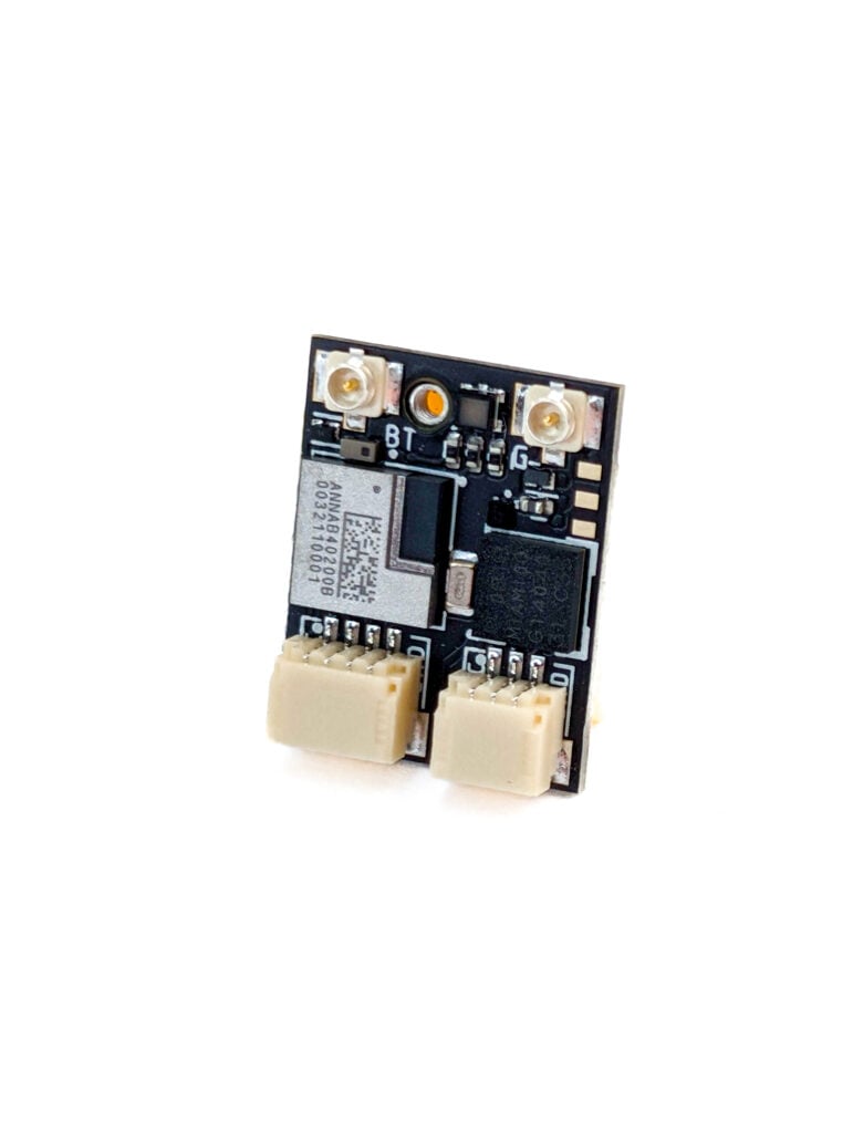
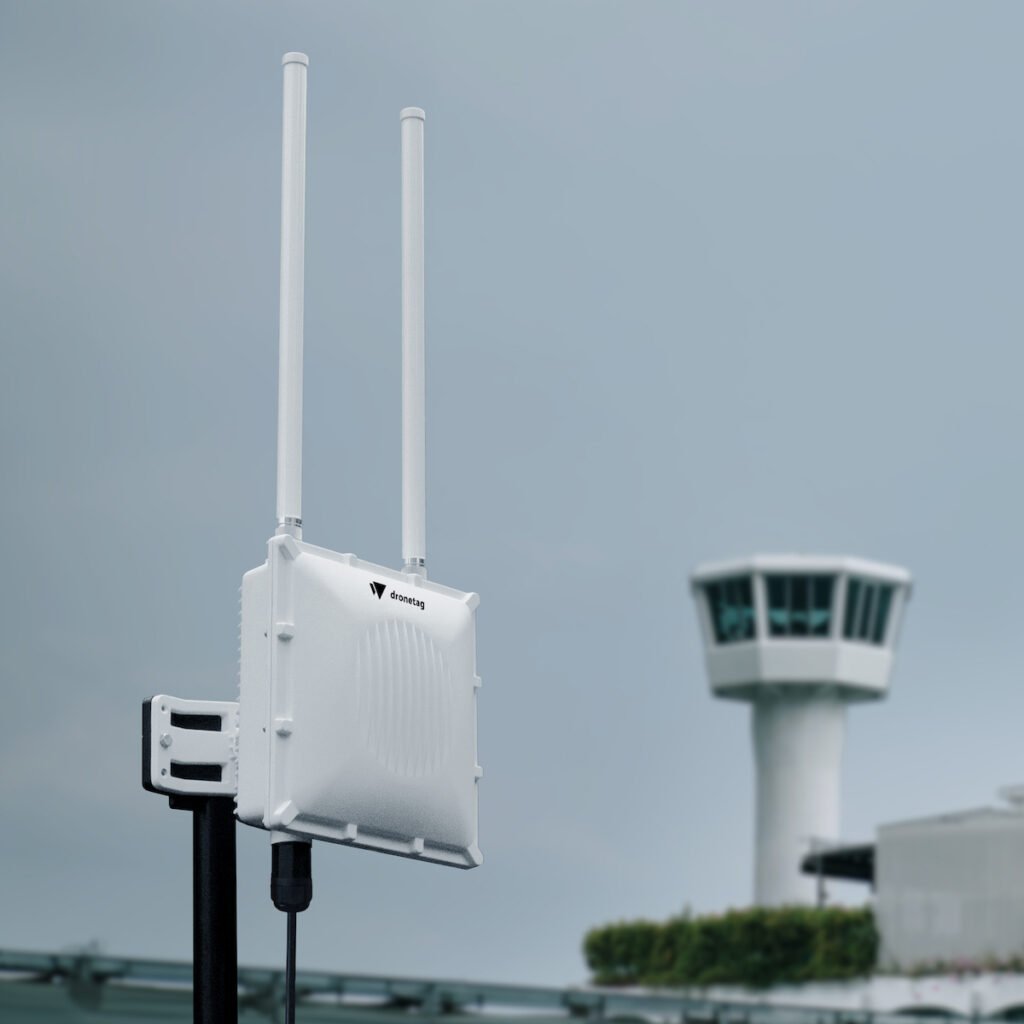
With Dronetag hardware incorporated, the platform now utilizes two-directional Remote ID capabilities. For cooperative identification, drones equipped with Dronetag transmitters, which are used by operators in more than 30 countries for compliant broadcasting, appear directly inside the ACRE interface. For third-party detection, Dronetag Scout and RIDER receivers detect external drones broadcasting Remote ID data across a wide range and feed those tracks into the same view. This allows operators to see both their own deployed assets and external drones operating in the surrounding airspace.
This combined capability targets emergency response and defense operators, including fire and rescue services managing drone operations alongside crewed helicopters, police agencies requiring situational awareness over incidents, defense units conducting mixed airspace exercises, and critical infrastructure security teams managing internal and external drone activity. The dual-layered tracking reduces blind spots in managed airspace, which is particularly vital for mixed civil-military scenarios where airspace cannot be cleared and traffic must be actively coordinated.
Both companies share a connection through NATO’s Defence Innovation Accelerator for the North Atlantic (DIANA), a program focused on dual-use deep tech that connects startups with operational end-users across the Alliance. Dronetag completed the DIANA program in 2024, while VIG-SEC Drone joined the cohort announced in early 2026 with the ACRE Suite as its central technology under development. The integration represents a practical outcome of the DIANA model, establishing interoperability between two program-validated companies for immediate deployment by operators.