Inspired Flight outlines the key considerations when selecting a drone LiDAR system, including point density, navigation accuracy, detection range, vegetation penetration, payload weight, and processing requirements. Read more >>
These factors influence system suitability for applications such as surveying, infrastructure mapping, environmental monitoring, utility corridor surveys, and construction site documentation. The company highlights how LiDAR systems can vary in performance and data quality, with different systems suited to different mapping and surveying requirements.
Available LiDAR options include systems from Phoenix LiDAR, YellowScan, GeoCue, Inertial Labs, ROCK Robotic, and LiDAR USA, ranging from payloads for localized mapping to higher-performance systems supporting accurate positioning and dense point cloud generation.
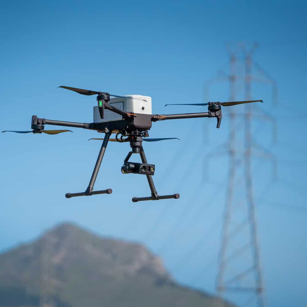
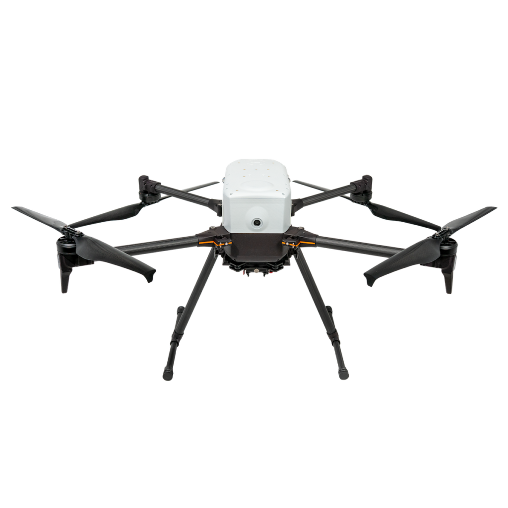
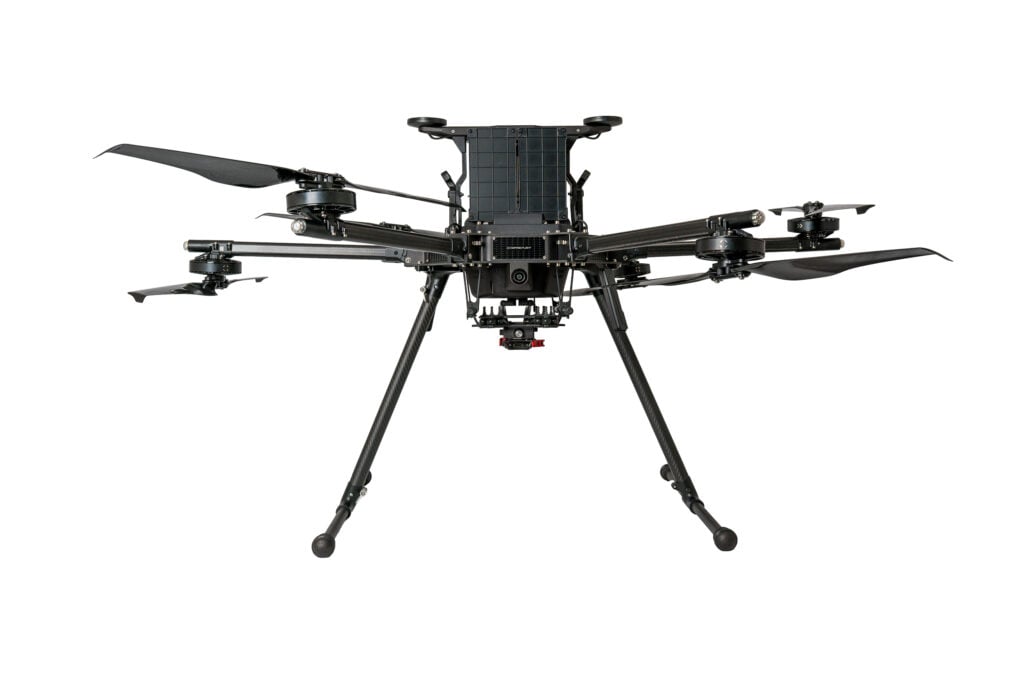
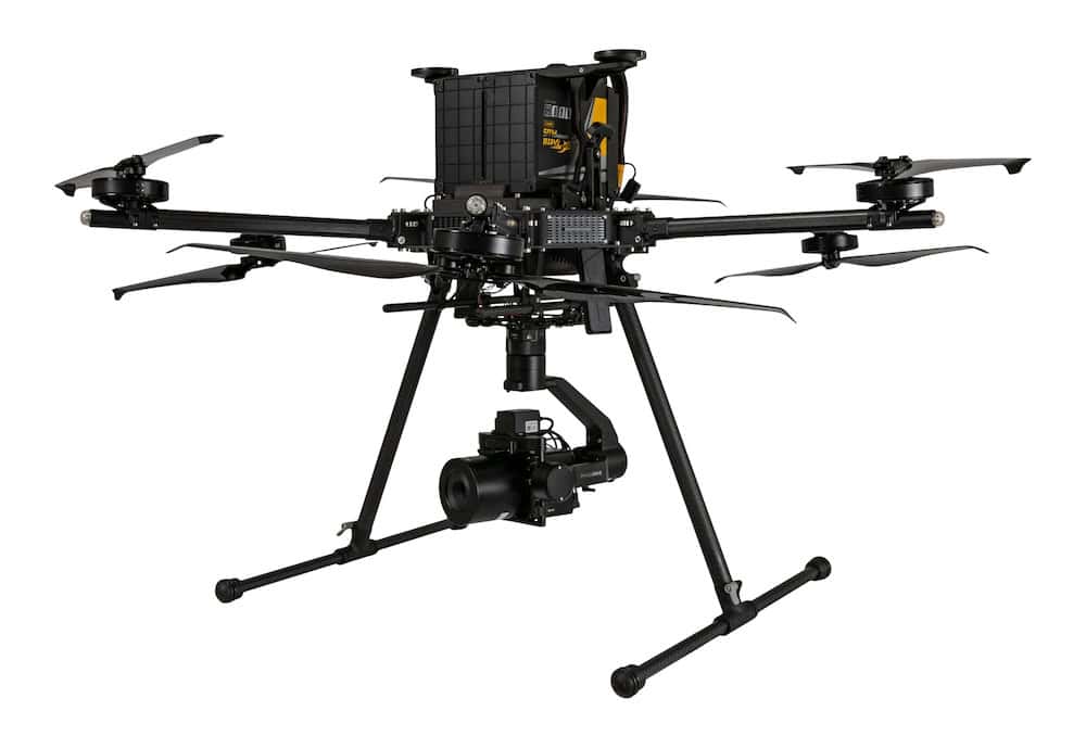
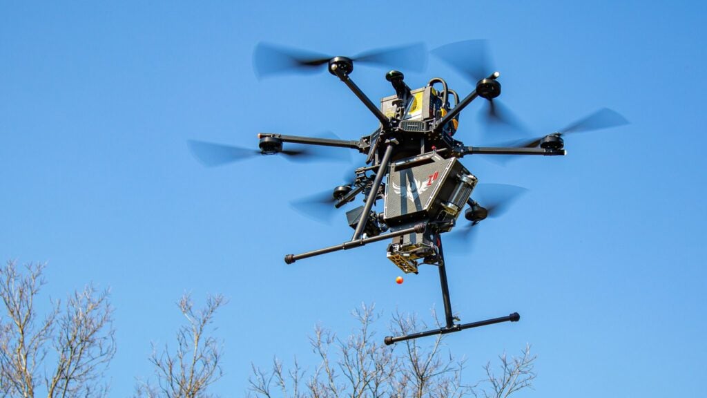
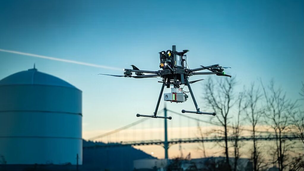
Matching the sensor to the aircraft is another important consideration. The IF800 has a payload capacity of approximately 3 kg (6.6 lbs) and supports a range of aerial LiDAR systems, while the heavy-lift IF1200 provides up to 8.6 kg (19 lbs) of payload capacity for heavier LiDAR systems and expanded sensor packages. Its payload capacity also supports multi-sensor configurations when required, including research applications combining LiDAR with additional environmental measurements.
For regulated environments, the U.S.-designed and manufactured IF800 and IF1200 meet NDAA compliance requirements, according to the supplied material, while Inspired Flight aircraft are also included on the Blue UAS Cleared List. Organizations planning LiDAR deployments in regulated environments should confirm compliance at the specific sensor model level rather than assuming it applies across an entire product family.